Blairhall Glen
Valley in Fife
Scotland
Blairhall Glen
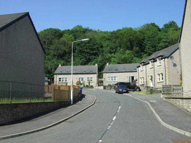
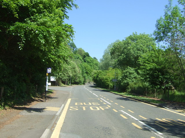
Blairhall Glen is a picturesque valley located in Fife, Scotland. Situated near the village of Blairhall, the glen is renowned for its natural beauty and tranquil surroundings. It covers an area of approximately 100 hectares and is a popular destination for nature enthusiasts and hikers.
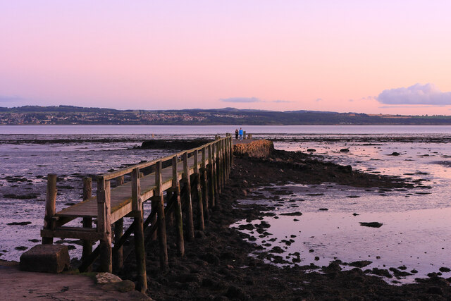
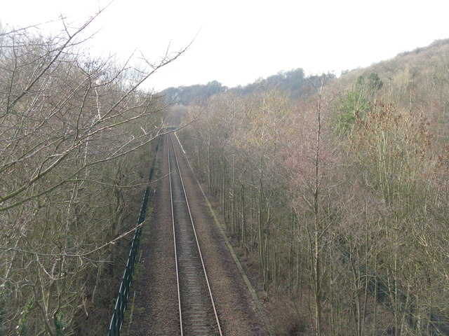
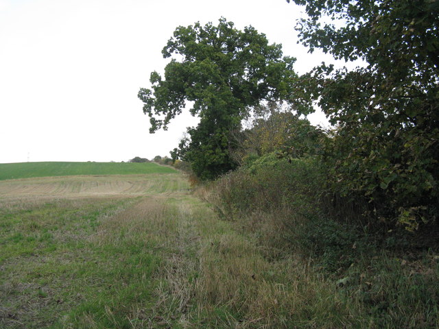
The glen is characterized by its lush greenery, rolling hills, and a meandering stream that flows through the valley. The stream, known as the Blair Burn, adds to the charm of the place with its cascading waterfalls and small pools. The glen is also home to a rich variety of plant and animal species, making it a haven for wildlife.
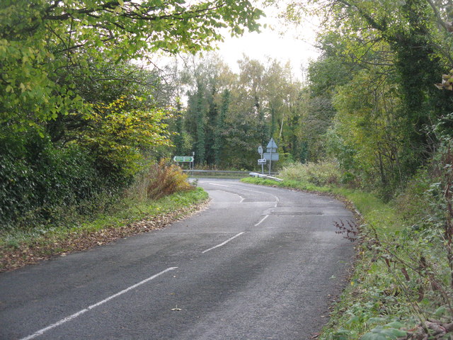
Visitors can explore the glen through a network of well-maintained footpaths, providing stunning views of the surrounding countryside. The paths wind their way through ancient woodlands, offering glimpses of rare and protected flora and fauna. Along the way, there are several viewpoints and picnic spots where visitors can relax and take in the scenic beauty.
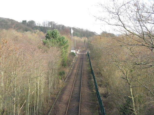
Blairhall Glen is not only a natural paradise but also holds historical significance. The remains of an old mill can still be seen, serving as a reminder of the area's industrial past. The glen is also dotted with remnants of old mining activities, showcasing the region's coal mining heritage.
Overall, Blairhall Glen is a hidden gem in Fife, offering visitors a chance to immerse themselves in nature, enjoy peaceful walks, and discover the area's rich history.
If you have any feedback on the listing, please let us know in the comments section below.
Blairhall Glen Images
Images are sourced within 2km of 56.06838/-3.6190872 or Grid Reference NS9987. Thanks to Geograph Open Source API. All images are credited.
![Footpath and NCN sign at Valleyfield The Fife Coastal Path and NCN76 pass this way; Preston Island Circular goes round the perimeter [mostly] of the ash lagoons and Torry Bay Nature Reserve.](https://s2.geograph.org.uk/geophotos/04/82/44/4824426_8b0b49da.jpg)


Blairhall Glen is located at Grid Ref: NS9987 (Lat: 56.06838, Lng: -3.6190872)
Unitary Authority: Fife
Police Authority: Fife
What 3 Words
///resettle.cookie.pointed. Near High Valleyfield, Fife
Nearby Locations
Related Wikis

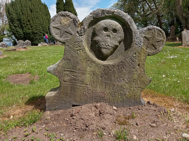
Balgownie Wood
Balgownie Wood is a woodland in West Fife, Scotland, south of the village of Blairhall and east of Balgownie Mains. The woods used to belong to nearby...

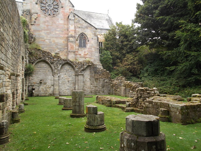
Culross Abbey
Culross Abbey is a former Cistercian abbey in Culross, Scotland, headed by the Abbot or Commendator of Culross. Part of it is still used as the local parish...

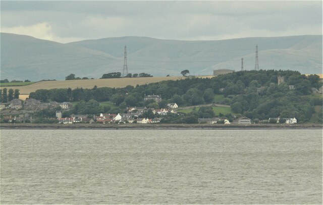
Valleyfield, Fife
Valleyfield consists of High Valleyfield and Low Valleyfield which are neighbouring villages in Fife, Scotland, midway between Dunfermline and Kincardine...

Townhill, Fife
Townhill is a small village that lies just north of Dunfermline, Fife, Scotland. The origin of the community is thought to be from the coal-mining industry...
Nearby Amenities
Located within 500m of 56.06838,-3.6190872Have you been to Blairhall Glen?
Leave your review of Blairhall Glen below (or comments, questions and feedback).