Borland Glen
Valley in Perthshire
Scotland
Borland Glen

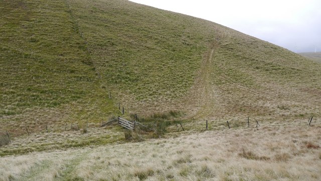
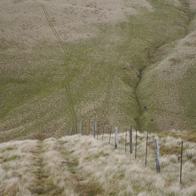
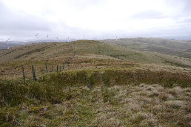
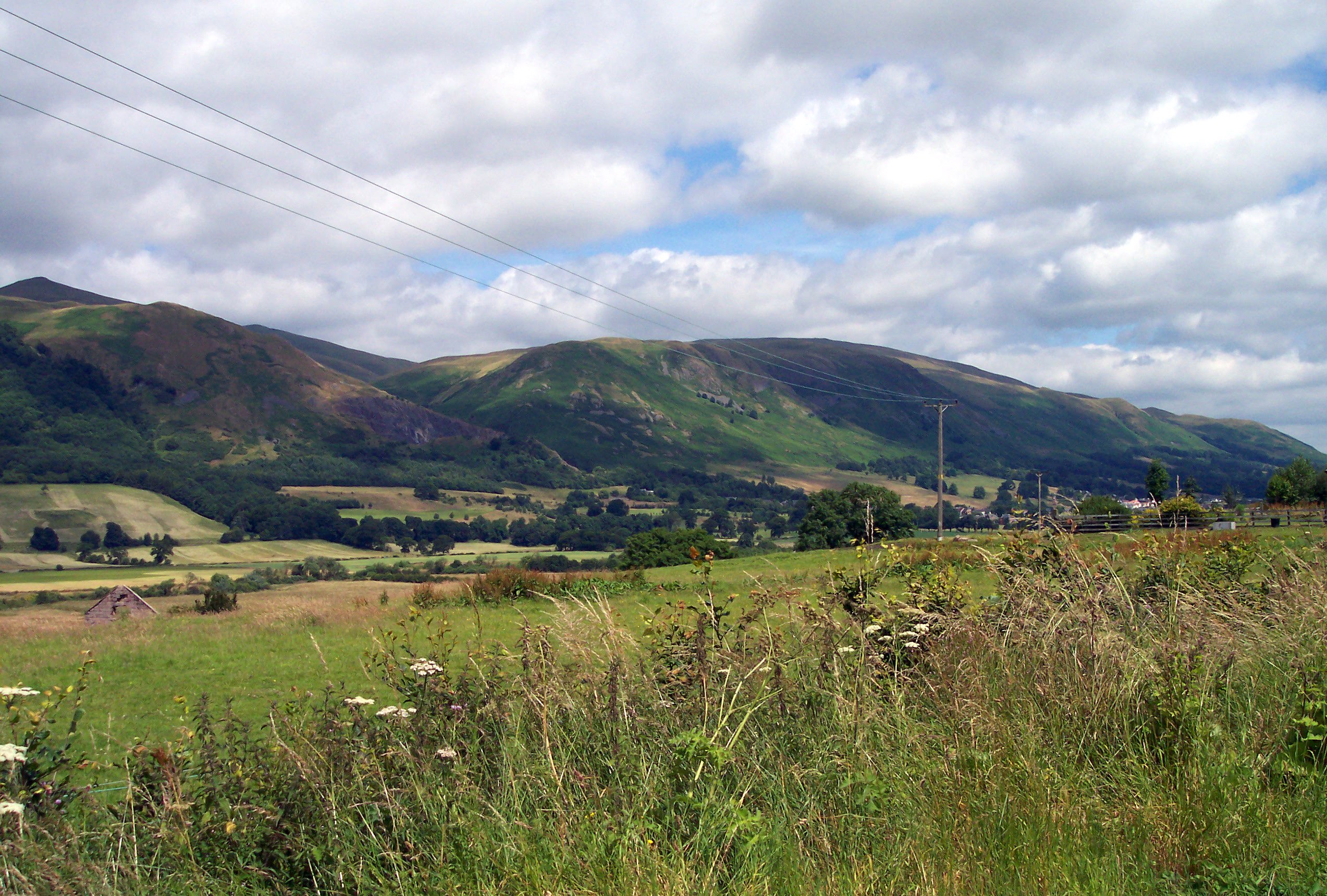
Borland Glen, located in Perthshire, Scotland, is a picturesque valley nestled amidst the stunning Scottish Highlands. With its breathtaking natural beauty and tranquil surroundings, it has become a popular destination for nature lovers and outdoor enthusiasts.
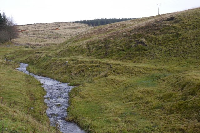
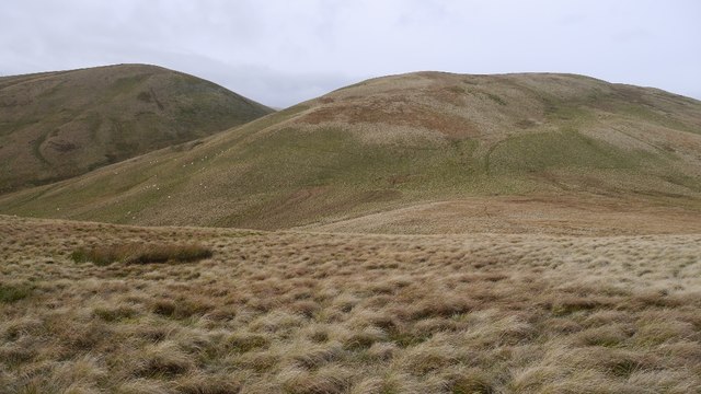
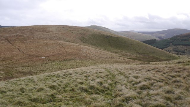
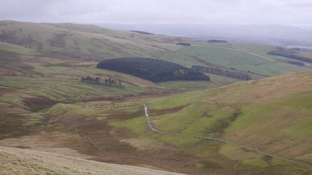
The glen is characterized by its rolling green hills, dense forests, and crystal-clear streams that meander through the landscape. It offers a diverse range of flora and fauna, making it a haven for wildlife. Visitors can spot native species such as red deer, golden eagles, and otters, along with a variety of plant life including ferns, heather, and wildflowers.
One of the main attractions of Borland Glen is its extensive network of walking trails and hiking routes that cater to all levels of fitness and experience. These trails provide opportunities to explore the glen's natural wonders up close, offering breathtaking views of the surrounding mountains and valleys. The glen also boasts several well-maintained picnic areas and camping spots, allowing visitors to immerse themselves in the tranquility of the area.
For those interested in history, Borland Glen is home to several ancient sites, including standing stones and remnants of old settlements, providing a glimpse into the region's rich past.
Overall, Borland Glen offers a serene escape from the hustle and bustle of city life, providing a perfect blend of natural beauty, outdoor activities, and historical intrigue. Whether it's a leisurely stroll, an adventurous hike, or a peaceful picnic, Borland Glen has something to offer for everyone seeking solace in the heart of the Scottish Highlands.
If you have any feedback on the listing, please let us know in the comments section below.
Borland Glen Images
Images are sourced within 2km of 56.239814/-3.6270737 or Grid Reference NN9906. Thanks to Geograph Open Source API. All images are credited.


Borland Glen is located at Grid Ref: NN9906 (Lat: 56.239814, Lng: -3.6270737)
Unitary Authority: Perth and Kinross
Police Authority: Tayside
What 3 Words
///hems.synthetic.clincher. Near Auchterarder, Perth & Kinross
Nearby Locations
Related Wikis

Glendevon Castle
Glendevon Castle is a collection of conjoined structures dating from the 15th century. The property is now (2022) semi-derelict. It lies on a private road...
A823 road
The A823 is a road in Scotland which goes from south of Crieff to Dunfermline. It joins onto the A823(M) and the A822 which runs to Crieff.
Strathdevon
Strathdevon is the strath of the River Devon in Clackmannanshire, Scotland. Strathdevon is associated with the parish of Muckhart and was up until 1971...
Ochil Hills
The Ochil Hills ( ; Scottish Gaelic: Monadh Ochail is a range of hills in Scotland north of the Forth valley bordered by the cities of Stirling, Perth...
Nearby Amenities
Located within 500m of 56.239814,-3.6270737Have you been to Borland Glen?
Leave your review of Borland Glen below (or comments, questions and feedback).