Blairhall Wood

Wood, Forest in Fife

Scotland

Blairhall Wood

Culross Seen from Bo'ness, across the Forth.
Culross Credit: Richard Sutcliffe

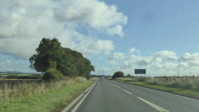
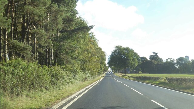
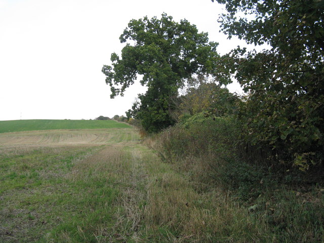
Blairhall Wood is a beautiful forest located in the county of Fife, Scotland. Covering an area of approximately 50 hectares, it is a popular destination for nature enthusiasts, hikers, and wildlife lovers. The wood is situated near the village of Blairhall, which is known for its rich history and picturesque landscapes.

The wood is predominantly composed of native tree species such as oak, birch, and beech, creating a diverse and vibrant ecosystem. The lush greenery and tall trees provide a tranquil and peaceful atmosphere, making it an ideal place for relaxation and escapism from the hustle and bustle of daily life.

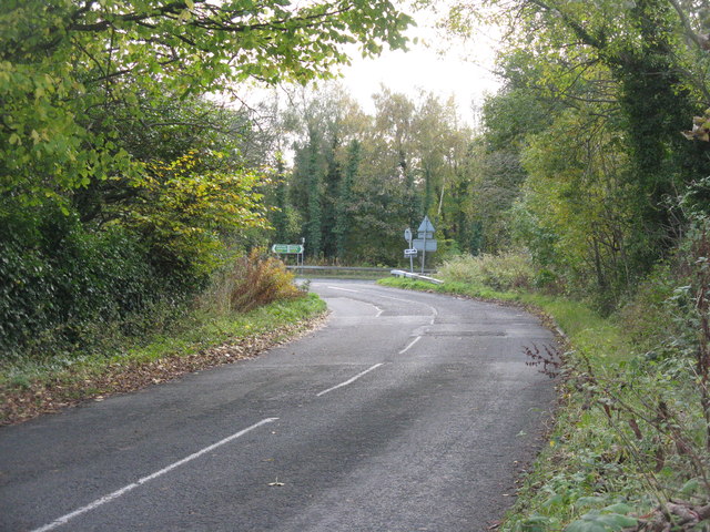
Blairhall Wood is home to a wide variety of wildlife, including deer, badgers, foxes, and a plethora of bird species. Visitors may be lucky enough to catch a glimpse of these animals during their exploration of the wood. The forest also boasts several well-marked trails and paths, offering opportunities for leisurely walks or more challenging hikes.

In addition to its natural beauty, Blairhall Wood has historical significance. It was once part of the estates owned by the Blair family, who were prominent landowners in the area. The remnants of old buildings and walls can still be found scattered throughout the wood, adding an element of intrigue and charm to the surroundings.

Overall, Blairhall Wood is a haven for nature lovers and history enthusiasts alike. Its combination of stunning landscapes, diverse wildlife, and rich history make it a must-visit destination for anyone seeking a peaceful and immersive experience in the heart of Fife.

If you have any feedback on the listing, please let us know in the comments section below.

Blairhall Wood Images

Images are sourced within 2km of 56.068565/-3.6200909 or Grid Reference NS9987. Thanks to Geograph Open Source API. All images are credited.

Culross Seen from Bo'ness, across the Forth.
Culross
Seen from Bo'ness, across the Forth.
A Humourous Epitaph This is definitely the most eccentric gravestone I have come across so far. Why it has big stars for ears is the first question that comes to mind - it looks like a Snapchat filter ahead of time.
The epitaph took a bit of deciphering but I'm pretty sure the following is a fairly accurate transcription:
MY GLASS IS RVN
MY TYM IS SPENT
AND FOR MY SINS I SHOULD REPENT
It is almost unheard of to read anything so light-hearted on a gravestone and it is rather like the dead man is entering the afterlife - though it would seem unlikely he bought into religion too much on the basis of this - with a smile and a wink!
There is fresh earth around the stone. This usually signifies that the headstone had become unstable over time and has recently been righted. However it still sits at a jaunty angle. This guy's not just having the last laugh, he seems to be having all the laughs!
A Humourous Epitaph
This is definitely the most eccentric gravestone I have come across so far. Why it has big stars for ears is the first question that comes to mind - it looks like a Snapchat filter ahead of time. The epitaph took a bit of deciphering but I'm pretty sure the following is a fairly accurate transcription: MY GLASS IS RVN MY TYM IS SPENT AND FOR MY SINS I SHOULD REPENT It is almost unheard of to read anything so light-hearted on a gravestone and it is rather like the dead man is entering the afterlife - though it would seem unlikely he bought into religion too much on the basis of this - with a smile and a wink! There is fresh earth around the stone. This usually signifies that the headstone had become unstable over time and has recently been righted. However it still sits at a jaunty angle. This guy's not just having the last laugh, he seems to be having all the laughs!
Ruins in Culross Abbey
The Moat Pier Used for the exportation of coal
The Moat Pier
Used for the exportation of coal
Culross Old Pier A view of the Culross Old Pier at sunset which has been slowly reconstructed over the years and now extends out almost to its original length. The pier provides an excellent view point for bird watching at low tide and spectacular evening sunset views.
Culross Old Pier
A view of the Culross Old Pier at sunset which has been slowly reconstructed over the years and now extends out almost to its original length. The pier provides an excellent view point for bird watching at low tide and spectacular evening sunset views.
A985 north of Culross, Fife
Railway at Low Valleyfield Looking east along the line that serves Longannet Power Station. For an autumn view from the same spot 6 years earlier see Richard Webb's <a href="https://www.geograph.org.uk/photo/1881034">NT0086 : Railway, Low Valleyfield</a>.
Railway at Low Valleyfield
Looking east along the line that serves Longannet Power Station. For an autumn view from the same spot 6 years earlier see Richard Webb's NT0086 : Railway, Low Valleyfield.
The railway to Longannet Looking west from the footbridge leading to the Torry Bay Nature Reserve - the path around the ash lagoons.
The railway to Longannet
Looking west from the footbridge leading to the Torry Bay Nature Reserve - the path around the ash lagoons.
Footpath and NCN sign at Valleyfield The Fife Coastal Path and NCN76 pass this way; Preston Island Circular goes round the perimeter [mostly] of the ash lagoons and Torry Bay Nature Reserve.
Footpath and NCN sign at Valleyfield
The Fife Coastal Path and NCN76 pass this way; Preston Island Circular goes round the perimeter [mostly] of the ash lagoons and Torry Bay Nature Reserve.
Field margin near Valleyfield Hedge separating stubble and grass from the road up Clinkum Bank.
Field margin near Valleyfield
Hedge separating stubble and grass from the road up Clinkum Bank.
Road junction near Valleyfield The road from Oakley joins the A985.
Road junction near Valleyfield
The road from Oakley joins the A985.
Houses on Main Street, Low Valleyfield
Beech Place, Low Valleyfield Off Main Street.
Beech Place, Low Valleyfield
Off Main Street.
Bus stop, Low Valleyfield Looking north east.
Bus stop, Low Valleyfield
Looking north east.
West Fife Farm Track At one time the farm of Newfarm stood here but now no trace of it exists.
West Fife Farm Track
At one time the farm of Newfarm stood here but now no trace of it exists.
Old Steps at Valleyfield House Walled Garden No trace of Valleyfield House remains, but there are substantial remains of the walled garden. These steps would have led down to a lower terrace, now overgrown.
Old Steps at Valleyfield House Walled Garden
No trace of Valleyfield House remains, but there are substantial remains of the walled garden. These steps would have led down to a lower terrace, now overgrown.
Valleyfield House Walled Garden The remains of the walled garden of Valleyfield House.
Valleyfield House Walled Garden
The remains of the walled garden of Valleyfield House.
Show me another place!

Blairhall Wood is located at Grid Ref: NS9987 (Lat: 56.068565, Lng: -3.6200909)

Unitary Authority: Fife

Police Authority: Fife

What 3 Words

///blissful.await.quits. Near High Valleyfield, Fife

Related Wikis

Balgownie Wood

Balgownie Wood is a woodland in West Fife, Scotland, south of the village of Blairhall and east of Balgownie Mains. The woods used to belong to nearby...
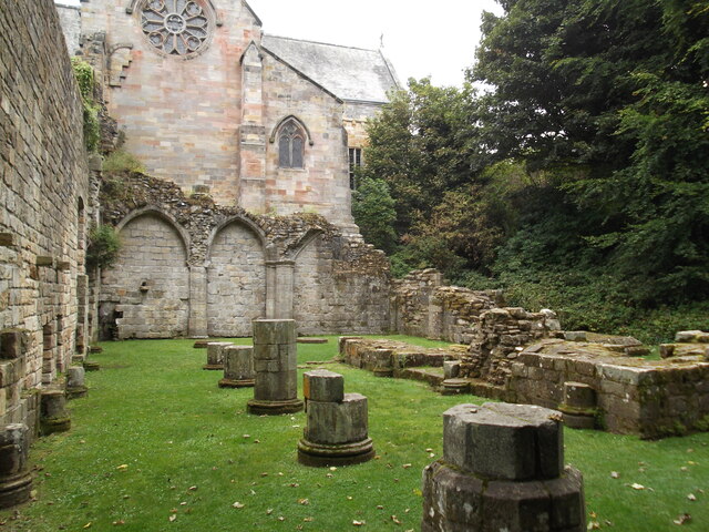
Culross Abbey

Culross Abbey is a former Cistercian abbey in Culross, Scotland, headed by the Abbot or Commendator of Culross. Part of it is still used as the local parish...
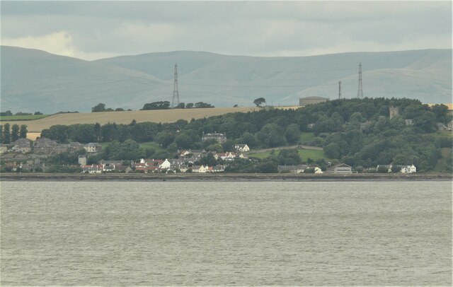
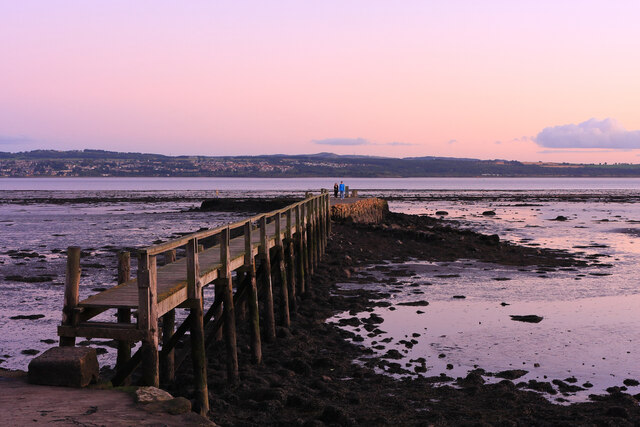
Valleyfield, Fife

Valleyfield consists of High Valleyfield and Low Valleyfield which are neighbouring villages in Fife, Scotland, midway between Dunfermline and Kincardine...

Townhill, Fife

Townhill is a small village that lies just north of Dunfermline, Fife, Scotland. The origin of the community is thought to be from the coal-mining industry...

Nearby Amenities

Located within 500m of 56.068565,-3.6200909
Power: tower
Lat/Long: 56.0669851/-3.6179591
Power: tower
Lat/Long: 56.0651339/-3.6235633
Power: tower
Lat/Long: 56.0685633/-3.6131812
Parking
Access: yes
Fee: no
Parking: layby
Source: Bing
Lat/Long: 56.0664152/-3.6259695
Power: pole
Lat/Long: 56.0728156/-3.6187237
Power: pole
Lat/Long: 56.0723695/-3.6198287
Material: wood
Power: pole
Lat/Long: 56.0678878/-3.6270559
Material: wood
Power: pole
Lat/Long: 56.0678958/-3.6260373
Power: pole
Lat/Long: 56.0698011/-3.6273923
Power: pole
Lat/Long: 56.070092/-3.6263974
Power: pole
Lat/Long: 56.0705997/-3.6245497
Power: pole
Lat/Long: 56.0710413/-3.6233464
Power: pole
Lat/Long: 56.0714644/-3.6222094
Power: pole
Lat/Long: 56.071917/-3.621019
Power: pole
Lat/Long: 56.0704064/-3.6252531
Generator Method: photovoltaic
Generator Output Electricity: yes
Generator Solar Modules: 16
Generator Source: solar
Generator Type: solar_photovoltaic_panel
Power: generator
Lat/Long: 56.0705707/-3.6136204
Power: pole
Lat/Long: 56.0652635/-3.6197759
Power: pole
Lat/Long: 56.0654771/-3.6192697
Material: wood
Power: pole
Lat/Long: 56.0658076/-3.6184937
Power: pole
Lat/Long: 56.0662595/-3.6174562
Power: pole
Lat/Long: 56.066681/-3.6164752
Power: pole
Lat/Long: 56.0671002/-3.6154628
Power: pole
Lat/Long: 56.0675568/-3.6144169
Power: pole
Lat/Long: 56.0680273/-3.6133125
Material: wood
Power: pole
Lat/Long: 56.0701197/-3.6133396
Material: wood
Power: pole
Lat/Long: 56.0697425/-3.6140174
Material: wood
Power: pole
Lat/Long: 56.069286/-3.6148813
Power: pole
Lat/Long: 56.0686508/-3.6140801
Power: pole
Lat/Long: 56.0675743/-3.6127707
Power: pole
Lat/Long: 56.0705692/-3.6139086
The data included in this document is from www.openstreetmap.org. The data is made available under ODbL.

Have you been to Blairhall Wood?

Leave your review of Blairhall Wood below (or comments, questions and feedback).