Caird's Cleuch
Valley in Dumfriesshire
Scotland
Caird's Cleuch
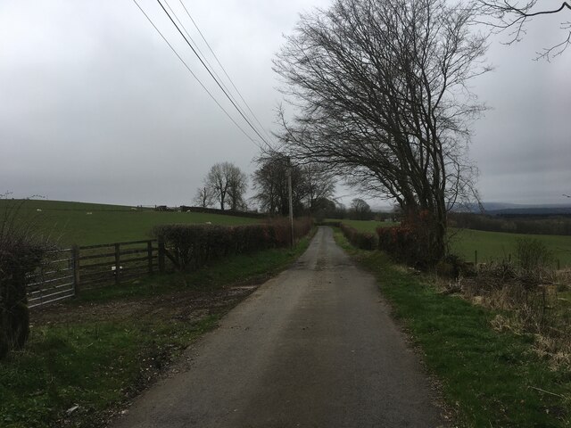
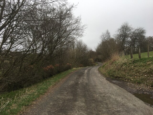
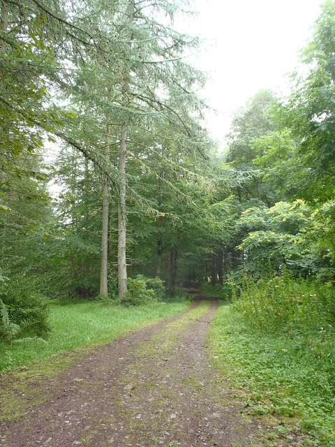
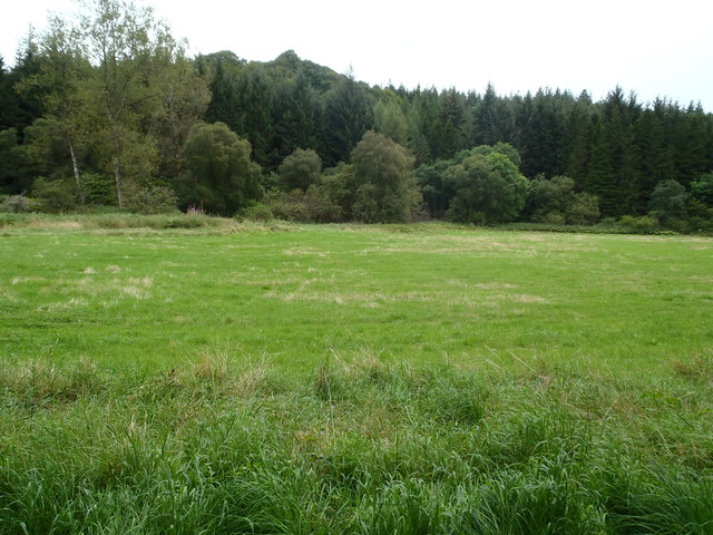
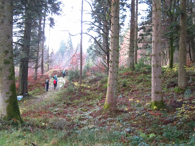
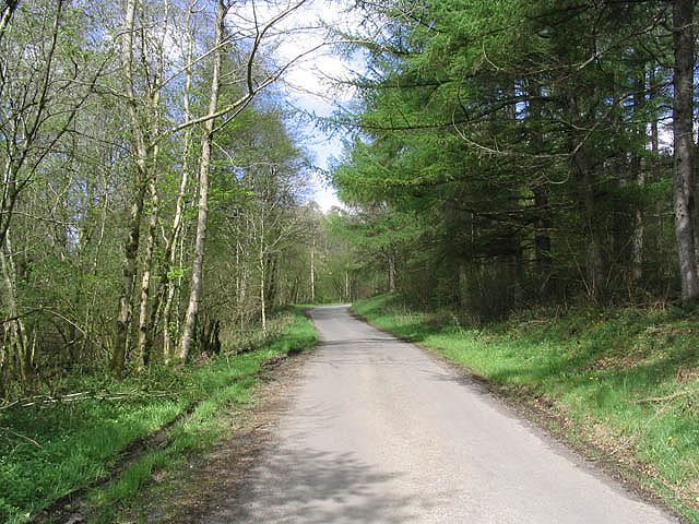
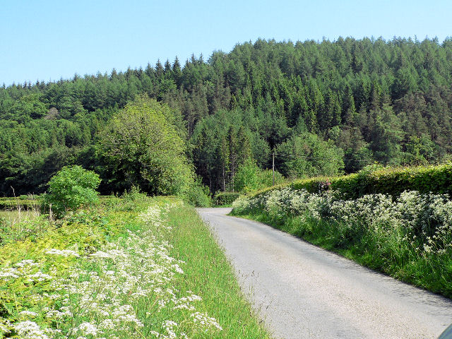
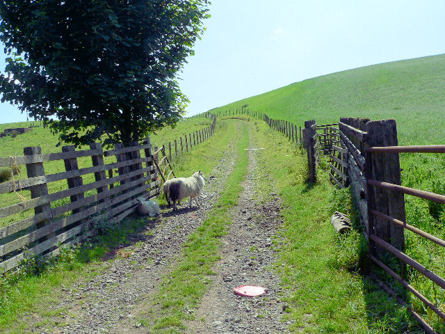
Caird's Cleuch is a picturesque valley located in Dumfriesshire, Scotland. Nestled within the Southern Uplands, this enchanting glen stretches for approximately 2 miles, offering visitors a tranquil and scenic retreat.
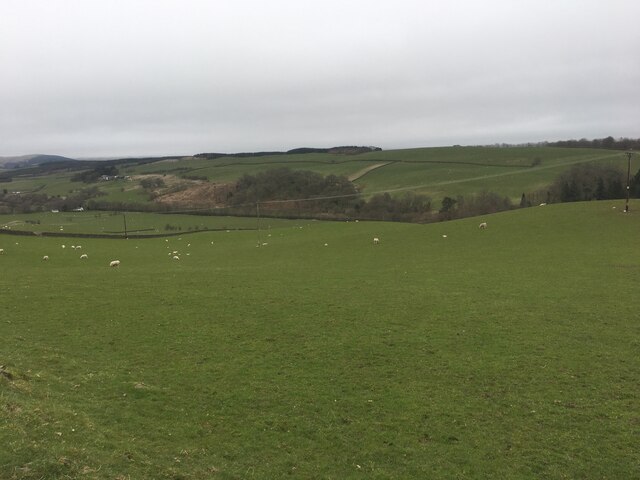
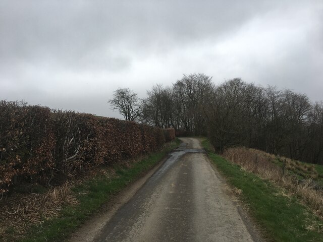
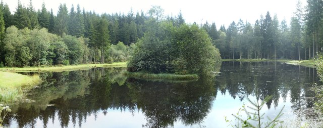
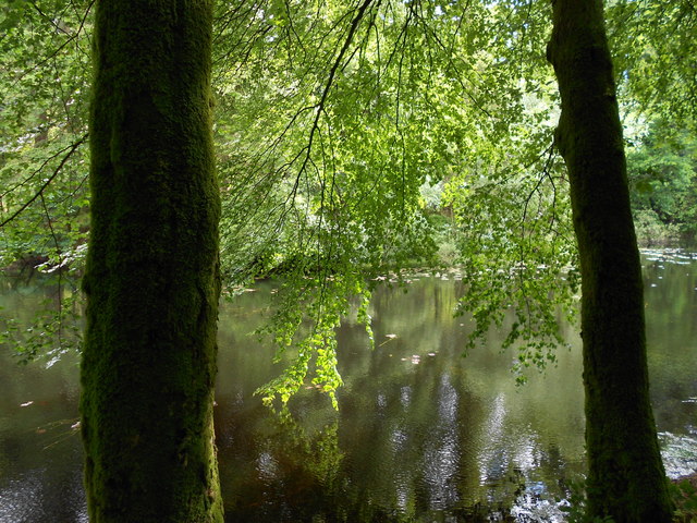
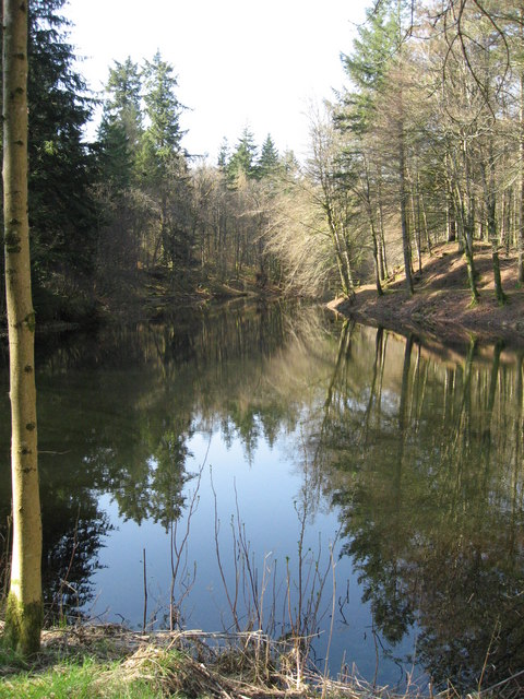
The valley is characterized by its lush greenery, rolling hills, and the meandering Caird's Burn that runs through its center. The burn, fed by numerous smaller streams, adds to the valley's beauty with its babbling waters and small cascades. Visitors can enjoy leisurely walks alongside the burn, immersing themselves in the serenity of the surrounding nature.
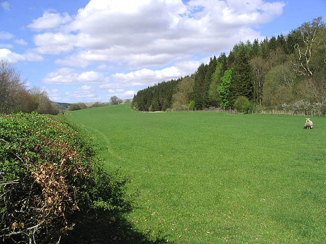
Caird's Cleuch is home to a diverse range of flora and fauna, making it a haven for nature enthusiasts. The valley's wooded areas are filled with ancient oak and ash trees, providing a habitat for various bird species including buzzards, owls, and woodpeckers. Roe deer can often be spotted grazing on the hillsides, and if lucky, visitors may even catch a glimpse of a red squirrel darting through the trees.
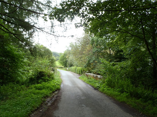
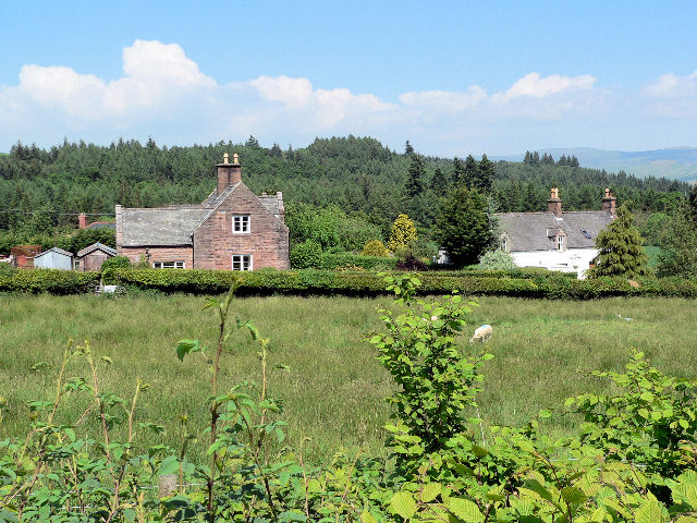
The valley's history is also of interest to many. Caird's Cleuch has been inhabited for centuries, and remnants of old settlements and structures can still be seen today. Ancient burial cairns and stone circles hint at the valley's rich past, while abandoned farmsteads offer a glimpse into the lives of those who once called this valley home.
Overall, Caird's Cleuch is a hidden gem in Dumfriesshire, offering visitors a peaceful escape into nature, a chance to explore the area's history, and an opportunity to reconnect with the beauty of the Scottish countryside.
If you have any feedback on the listing, please let us know in the comments section below.
Caird's Cleuch Images
Images are sourced within 2km of 55.280976/-3.8405447 or Grid Reference NS8300. Thanks to Geograph Open Source API. All images are credited.

Caird's Cleuch is located at Grid Ref: NS8300 (Lat: 55.280976, Lng: -3.8405447)
Unitary Authority: Dumfries and Galloway
Police Authority: Dumfries and Galloway
What 3 Words
///underway.release.headstone. Near Thornhill, Dumfries & Galloway
Nearby Locations
Related Wikis

Drumlanrig Castle
Drumlanrig Castle is situated on the Queensberry Estate in Dumfries and Galloway, Scotland. The category A listed castle is the Dumfriesshire home of the...

Drumlanrig
Drumlanrig (Scottish Gaelic: Druim Lannraig) is a settlement in Dumfries and Galloway, Scotland, which is best known for nearby Drumlanrig Castle. The...

Tibbers Castle
Tibbers Castle is a motte-and-bailey castle overlooking a ford across the River Nith in Dumfries and Galloway, Scotland. To the east is the village of...

Carron Water, Dumfriesshire
The Carron Water (Scottish Gaelic: Carrann) is a tributary of the River Nith in southwest Scotland. It rises in the Dalveen Pass in the Lowther Hills as...
Nearby Amenities
Located within 500m of 55.280976,-3.8405447Have you been to Caird's Cleuch?
Leave your review of Caird's Cleuch below (or comments, questions and feedback).