Riddleburn Plantation
Wood, Forest in Dumfriesshire
Scotland
Riddleburn Plantation
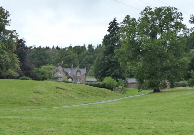
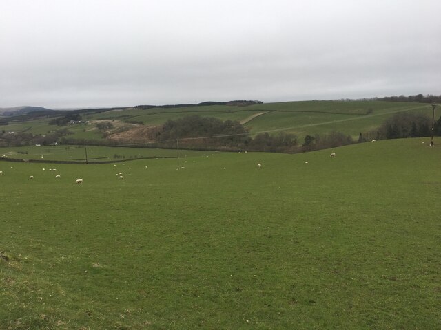
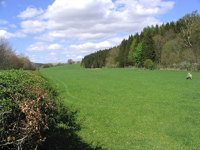
Riddleburn Plantation is a pristine woodland located in Dumfriesshire, Scotland. Spread across a vast area, this enchanting forest is known for its picturesque beauty and rich biodiversity. The plantation is situated near the village of Riddleburn, surrounded by rolling hills and stunning landscapes.
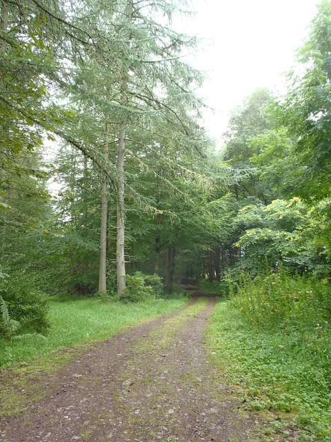
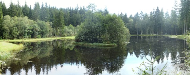
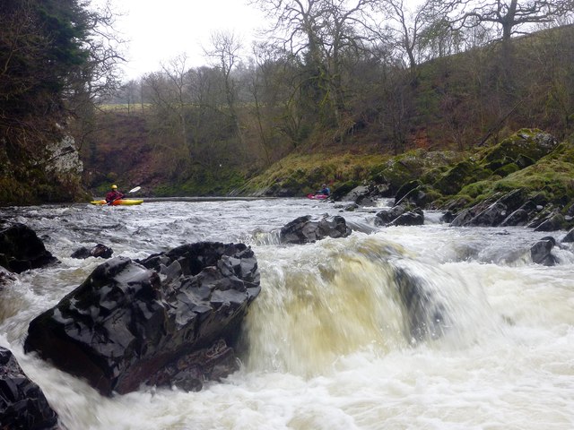
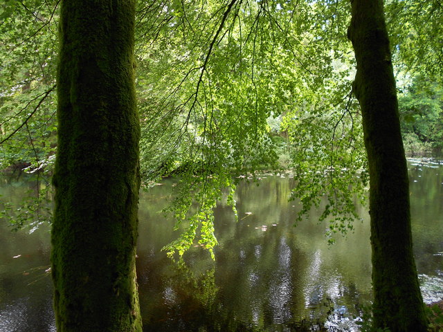
Covering an area of approximately 500 acres, Riddleburn Plantation is predominantly made up of native tree species such as oak, beech, and pine. The tall, majestic trees create a dense canopy, providing shade and shelter for a diverse range of flora and fauna. The forest floor is carpeted with a vibrant array of wildflowers, ferns, and mosses.
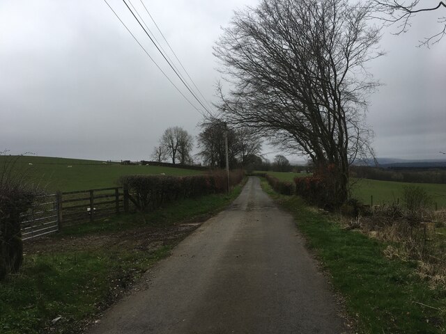
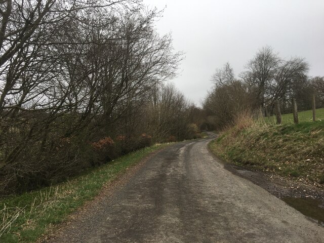
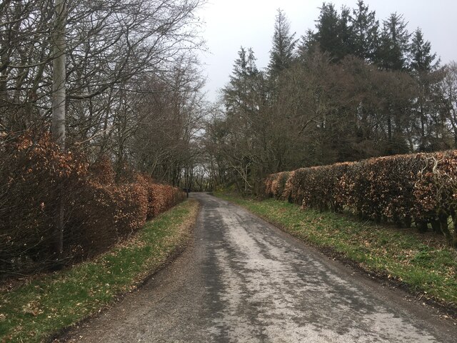
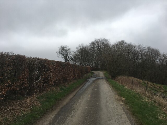
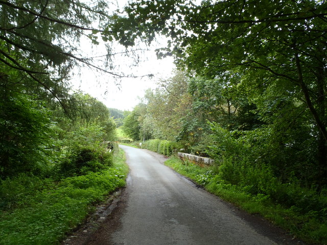
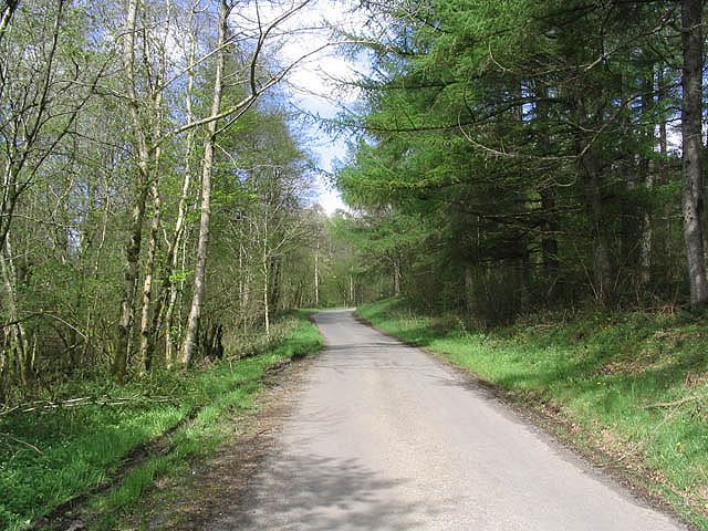
The plantation is crisscrossed by a network of well-maintained walking trails, allowing visitors to explore the natural wonders it has to offer. These trails offer breathtaking views of the surrounding countryside, making it a popular destination for nature enthusiasts and hikers. The tranquil atmosphere and the soothing sound of rustling leaves make it an ideal retreat for those seeking solace in nature.
Riddleburn Plantation is also home to a variety of wildlife. Red squirrels, roe deer, and numerous bird species can be spotted in this habitat. The plantation plays a crucial role in preserving the region's biodiversity and acts as an important wildlife corridor.
In addition to its natural beauty, Riddleburn Plantation is also of historical significance. It is believed to have been a part of an ancient estate, with remnants of old structures and stone walls adding to its charm.
Overall, Riddleburn Plantation offers a serene and captivating experience, combining the best of natural beauty, wildlife, and historical intrigue.
If you have any feedback on the listing, please let us know in the comments section below.
Riddleburn Plantation Images
Images are sourced within 2km of 55.288723/-3.8315331 or Grid Reference NS8300. Thanks to Geograph Open Source API. All images are credited.


Riddleburn Plantation is located at Grid Ref: NS8300 (Lat: 55.288723, Lng: -3.8315331)
Unitary Authority: Dumfries and Galloway
Police Authority: Dumfries and Galloway
What 3 Words
///mango.group.flips. Near Thornhill, Dumfries & Galloway
Nearby Locations
Related Wikis

Drumlanrig Castle
Drumlanrig Castle is situated on the Queensberry Estate in Dumfries and Galloway, Scotland. The category A listed castle is the Dumfriesshire home of the...

Drumlanrig
Drumlanrig (Scottish Gaelic: Druim Lannraig) is a settlement in Dumfries and Galloway, Scotland, which is best known for nearby Drumlanrig Castle. The...

Tibbers Castle
Tibbers Castle is a motte-and-bailey castle overlooking a ford across the River Nith in Dumfries and Galloway, Scotland. To the east is the village of...
Enterkinfoot
Enterkinfoot is a small village or hamlet which lies 6 miles (9.7 km) north of Thornhill on the A76 on the route to Sanquhar, in Dumfriesshire, Durisdeer...
Nearby Amenities
Located within 500m of 55.288723,-3.8315331Have you been to Riddleburn Plantation?
Leave your review of Riddleburn Plantation below (or comments, questions and feedback).