Cwm y Goblyn
Valley in Glamorgan
Wales
Cwm y Goblyn

Cwm y Goblyn, located in the county of Glamorgan, Wales, is a picturesque valley renowned for its natural beauty and rich history. Nestled in the heart of the South Wales Valleys, this charming area offers visitors a glimpse into the region's industrial past while also providing stunning landscapes for outdoor enthusiasts.
The name "Cwm y Goblyn" translates to "Valley of the Goblin," alluding to the folklore and legends associated with the region. The valley is characterized by rolling hills, deep gorges, and lush greenery, making it a haven for hikers, nature lovers, and photographers.
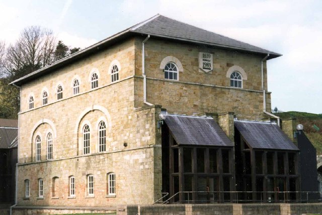
Historically, Cwm y Goblyn played a significant role in the coal mining industry, which thrived in the area during the 19th and early 20th centuries. Evidence of this industrial heritage can still be seen today in the form of old mine workings, colliery buildings, and disused tramways.
Visitors to Cwm y Goblyn can explore the numerous walking trails that crisscross the valley, offering breathtaking views of the surrounding landscape. The area is also home to a variety of wildlife, including red kites, buzzards, and peregrine falcons, offering birdwatchers ample opportunities to spot these magnificent creatures.
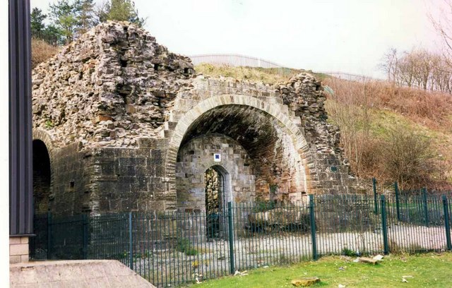
Additionally, Cwm y Goblyn boasts several historical sites and landmarks, such as the ruins of Morlais Castle, a 12th-century fortress that once guarded the entrance to the valley. The nearby town of Merthyr Tydfil provides amenities such as accommodation, shops, and restaurants, making it a convenient base for exploring the area.
Overall, Cwm y Goblyn is a captivating destination that seamlessly blends natural beauty with a rich industrial heritage, providing visitors with a unique and memorable experience in the heart of Glamorgan's valleys.
If you have any feedback on the listing, please let us know in the comments section below.
Cwm y Goblyn Images
Images are sourced within 2km of 51.60182/-3.6878795 or Grid Reference SS8390. Thanks to Geograph Open Source API. All images are credited.


Cwm y Goblyn is located at Grid Ref: SS8390 (Lat: 51.60182, Lng: -3.6878795)
Unitary Authority: Bridgend
Police Authority: South Wales
What 3 Words
///famous.smug.swaps. Near Bryn, Neath Port Talbot
Nearby Locations
Related Wikis
Maesteg Community Hospital
Maesteg Community Hospital (Welsh: Ysbyty Cymunedol Maesteg) is a community hospital in Maesteg, Wales. It is managed by Cwm Taf Morgannwg University Health...

Maesteg (Neath Road) railway station
Maesteg (Neath Road) railway station served the town of Maesteg, Glamorgan, Wales from 1898 to 1964 on the Llynvi and Ogmore Railway. == History == The...
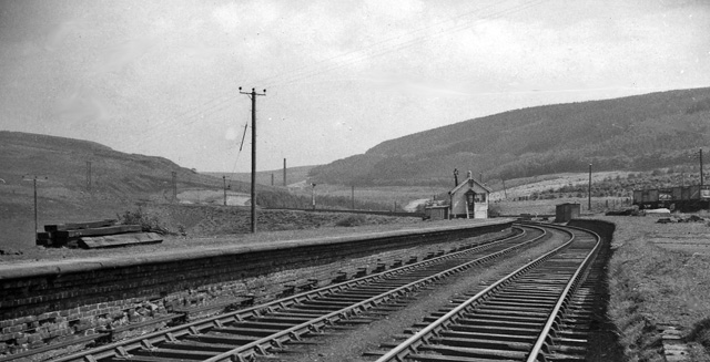
Bryn railway station (Glamorgan)
Bryn railway station served the village of Bryn, Neath Port Talbot, Wales, from 1898 to 1964 on the Port Talbot Railway. == History == The station was...
Llynfi Road
Llynfi Road is a rugby stadium in Maesteg in Bridgend County Borough, Wales. It is the home of Maesteg RFC. == Club house fire == On 13 August 2013, the...
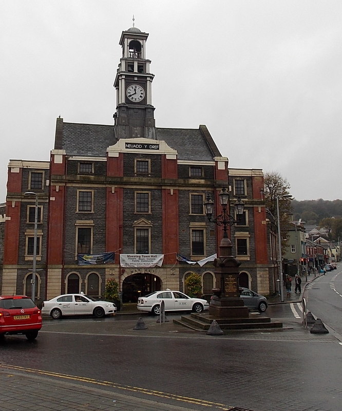
Maesteg Town Hall
Maesteg Town Hall (Welsh: Neuadd y Dref Maesteg) is a municipal structure in Talbot Street, Maesteg, Wales. The town hall, which was the headquarters...
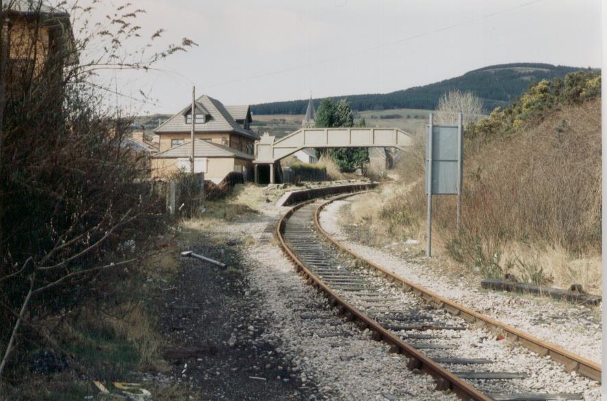
Maesteg Castle Street railway station
Maesteg Castle Street railway station served the town of Maesteg, Glamorgan, Wales from 1864 to 1970 on the Llynvi and Ogmore Railway. == History == The...

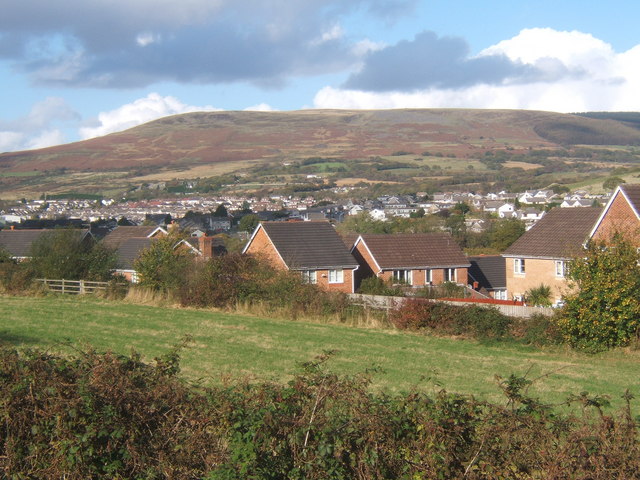
Bryn, Neath Port Talbot
Bryn (meaning: hill) is a village and community in Neath Port Talbot County Borough in Wales. It has a population of 913. The village is located in the...
Cwmfelin
Cwmfelin is a village out the southern outskirts of Maesteg, in the county borough of Bridgend, Wales. It was once part of the medieval commote of Tir...
Nearby Amenities
Located within 500m of 51.60182,-3.6878795Have you been to Cwm y Goblyn?
Leave your review of Cwm y Goblyn below (or comments, questions and feedback).