Abune-the-Hill

Settlement in Orkney

Scotland

Abune-the-Hill

Inyamehellya (Inyama Hellier on OS map) A large geo near Costa Head with a rock stack called Standard
Inyamehellya (Inyama Hellier on OS map) Credit: John Comloquoy

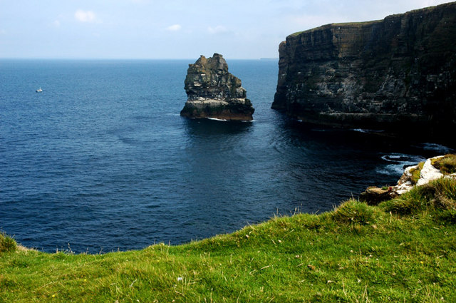
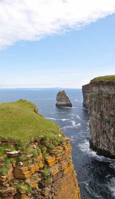
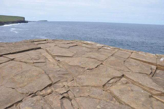
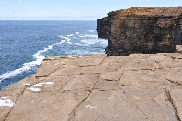
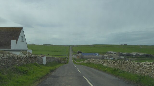
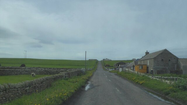
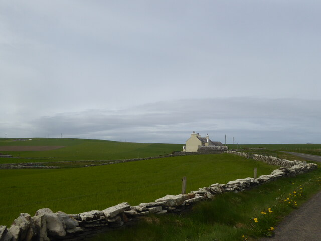
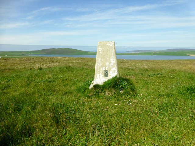
Abune-the-Hill is a prominent landmark located in the Orkney Islands, a group of islands situated off the northeastern coast of Scotland. Rising 257 meters (843 feet) above sea level, it is the highest point in Orkney and offers stunning panoramic views of the surrounding landscapes.

This hill, also known as Ward Hill, is a popular destination for hikers and nature enthusiasts. It is located on the largest island in Orkney, known as Mainland, near the village of Stenness. The hill is easily accessible, with a well-marked path leading to the summit.

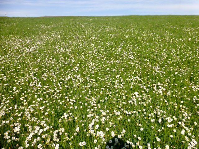
At the top of Abune-the-Hill, visitors are rewarded with breathtaking vistas of the Orkney landscape, including rolling green hills, dramatic cliffs, and the sparkling waters of the North Sea. On clear days, it is even possible to see the neighboring islands in the distance.

The hill is also significant from a historical standpoint. It is home to the remains of an ancient chambered cairn, a type of Neolithic burial tomb. This archaeological site provides a glimpse into Orkney's rich prehistoric past and offers visitors a chance to explore the island's ancient heritage.

Abune-the-Hill is a must-visit destination for those seeking natural beauty, outdoor activities, and a touch of history. Whether it's a leisurely hike, an exploration of ancient ruins, or simply enjoying the breathtaking views, this iconic landmark offers an unforgettable experience in the heart of Orkney.

If you have any feedback on the listing, please let us know in the comments section below.

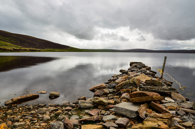
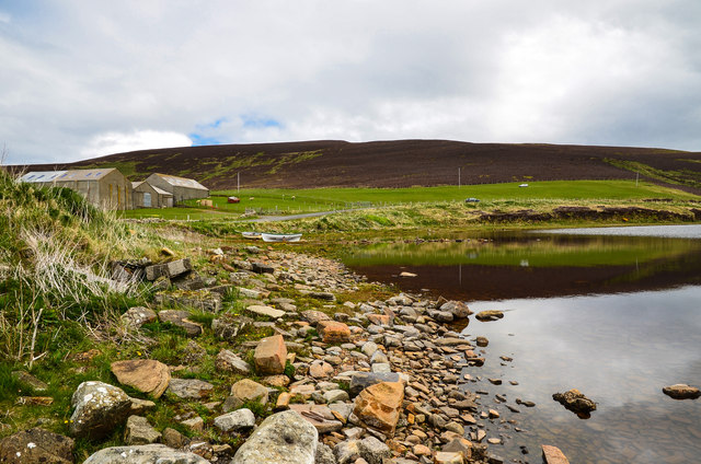
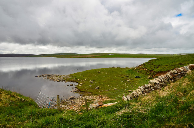
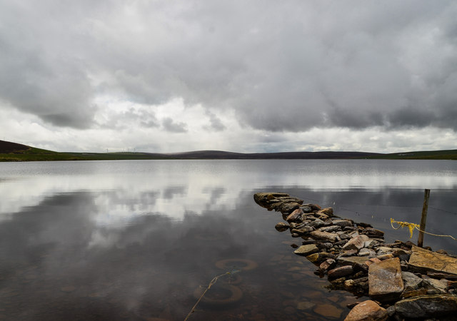
Abune-the-Hill Images

Images are sourced within 2km of 59.136173/-3.235324 or Grid Reference HY2928. Thanks to Geograph Open Source API. All images are credited.

Inyamehellya (Inyama Hellier on OS map) A large geo near Costa Head with a rock stack called Standard
Inyamehellya (Inyama Hellier on OS map)
A large geo near Costa Head with a rock stack called Standard
Clifftop View Dramatic clifftop view of the geo of Inyama Hellia, sea stack of Standard and far away Westray, with Fulmars and Thrift in the foreground.
Clifftop View
Dramatic clifftop view of the geo of Inyama Hellia, sea stack of Standard and far away Westray, with Fulmars and Thrift in the foreground.
Skea Looking West Curiously named clifftop of Skea. At the southeast corner of this tiny Geograph looking west towards the Brough of Birsay. My GPS told me this square is 9m east to west and 7m north to south - so the whole square is in this photograph.
Skea Looking West
Curiously named clifftop of Skea. At the southeast corner of this tiny Geograph looking west towards the Brough of Birsay. My GPS told me this square is 9m east to west and 7m north to south - so the whole square is in this photograph.
Skea Looking East Clifftop at Skea looking east on this tiny Geograph - 9m by 7m. In the distance is Westray. - see also <a title="https://www.geograph.org.uk/photo/1928246" href="https://www.geograph.org.uk/photo/1928246">Link</a>
Skea Looking East
Clifftop at Skea looking east on this tiny Geograph - 9m by 7m. In the distance is Westray. - see also Link
A966 near Swannay Farm, Orkney
Manse and fields at Abune-the-hill, Orkney
Boat by the Loch of Swannay View across the loch from the northern shoreline by the A966.
Boat by the Loch of Swannay
View across the loch from the northern shoreline by the A966.
Jetty on Loch Swannay Looking south from the top of the loch by the A966.
Jetty on Loch Swannay
Looking south from the top of the loch by the A966.
Top of Loch Swannay View to the A966 with Costa Hill on the horizon.
Top of Loch Swannay
View to the A966 with Costa Hill on the horizon.
Loch of Swannay Looking across the top end of the loch towards Swannay Farm centre horizon.
Loch of Swannay
Looking across the top end of the loch towards Swannay Farm centre horizon.
Down by the Swannay This pile of rocks at the top of the Loch of Swannay is optimistically described by OS Mapping as a jetty, personally I wouldn't fancy my chances at launching much from it, still, it makes a nice foreground feature for the picture. Note the three sunken tyres used to tie up to.
Down by the Swannay
This pile of rocks at the top of the Loch of Swannay is optimistically described by OS Mapping as a jetty, personally I wouldn't fancy my chances at launching much from it, still, it makes a nice foreground feature for the picture. Note the three sunken tyres used to tie up to.
Loch of Swannay View across the loch from the northern shoreline by the A966.
Loch of Swannay
View across the loch from the northern shoreline by the A966.
Start Of The Track To Costa Hill
Hundland Hill Easy to bag trig and summit with Jim Bloomer and Tricky Speirs.
Name: Hundland Hill
Hill number:12212
Height: 106m / 348ft
Parent (Ma/M):1555  Milldoe - Mid Tooin
Area:23: Orkney Islands
Class:1
Grid ref: HY300271 (est)
Drop: 52m
Col: 54m  HY307264
Hundland Hill
Easy to bag trig and summit with Jim Bloomer and Tricky Speirs. Name: Hundland Hill Hill number:12212 Height: 106m / 348ft Parent (Ma/M):1555 Milldoe - Mid Tooin Area:23: Orkney Islands Class:1 Grid ref: HY300271 (est) Drop: 52m Col: 54m HY307264
Field Of Daisies We walked through this field of daises en route to Hundland Hill.
Field Of Daisies
We walked through this field of daises en route to Hundland Hill.
Loch of Swannay
Loch of Swannay
Fence down to Loch of Swannay
Show me another place!

Abune-the-Hill is located at Grid Ref: HY2928 (Lat: 59.136173, Lng: -3.235324)

Unitary Authority: Orkney Islands

Police Authority: Highlands and Islands

What 3 Words

///inches.faced.degrading. Near Birsay, Orkney Islands

Nearby Locations

Abune-the-Hill

Related Wikis

Abune-the-hill

Abune-the-Hill is a place on in the North of the Orkney Mainland (59.13° N 03.25° W HY2828) and just to the west of the Loch of Swannay.Abune-the-Hill...

Loch of Swannay

The Loch of Swannay is the most northerly loch on the mainland of Orkney and lies within the parish of Birsay in the north west of the island. It is an...

Loch of Hundland

The Loch of Hundland is a shallow freshwater loch in the parish of Birsay in the north west of the mainland of Orkney, Scotland. The loch lies between...

Costa Head

Costa Head is a prominent headland on Eynhallow Sound on the northwestern coast of the Orkney Mainland, Scotland. The tidal indraught of Eynhallow Sound...

Loch of Boardhouse

The Loch of Boardhouse is a freshwater loch in the parish of Birsay in the north west of the mainland of Orkney, Scotland. It acts as a reservoir for public...

Birsay

Birsay () (Old Norse: Birgisherað) is a parish in the north west corner of The Mainland of Orkney, Scotland. Almost all the land in the parish is devoted...

Earl's Palace, Birsay

The Earl's Palace in Birsay, Orkney, Scotland, is a ruined 16th-century castle. It was built by Robert Stewart, 1st Earl of Orkney (1533–1593), illegitimate...

St Magnus Church, Birsay

St Magnus Church, Birsay is a 17th-century church located in the parish of Birsay on Mainland, Orkney in Scotland. Built in 1664 on the site of an earlier...

Nearby Amenities

Located within 500m of 59.136173,-3.235324
Power: pole
Lat/Long: 59.1329991/-3.2301834
Power: pole
Lat/Long: 59.1325416/-3.2310034
Power: pole
Lat/Long: 59.1320912/-3.2317654
Power: pole
Lat/Long: 59.1333521/-3.2309455
Power: pole
Lat/Long: 59.1337133/-3.2317538
Power: pole
Lat/Long: 59.134216/-3.2328286
Power: pole
Lat/Long: 59.1347151/-3.2338709
Power: pole
Lat/Long: 59.1351773/-3.2348692
Power: pole
Lat/Long: 59.1354649/-3.2354876
Power: pole
Lat/Long: 59.1358285/-3.2362659
Power: pole
Lat/Long: 59.1364463/-3.2375745
Power: pole
Lat/Long: 59.1369395/-3.2386238
Power: pole
Lat/Long: 59.137252/-3.2394275
Power: pole
Lat/Long: 59.137568/-3.2402568
Power: pole
Lat/Long: 59.1378627/-3.2409725
Power: pole
Lat/Long: 59.1380433/-3.2414334
Power: pole
Lat/Long: 59.1384579/-3.2424942
Power: pole
Lat/Long: 59.1381585/-3.2404536
Power: pole
Lat/Long: 59.1386243/-3.2396453
Power: pole
Lat/Long: 59.1389926/-3.2390176
Generator Method: wind_turbine
Generator Source: wind
Power: generator
Lat/Long: 59.1374101/-3.2435573
Swannay
Place: village
Lat/Long: 59.1397239/-3.2378211
Generator Method: wind_turbine
Generator Source: wind
Power: generator
Lat/Long: 59.1346682/-3.2305244
Rantan barrows
Historic: archaeological_site
Lat/Long: 59.1349902/-3.2316281
The data included in this document is from www.openstreetmap.org. The data is made available under ODbL.

Have you been to Abune-the-Hill?

Leave your review of Abune-the-Hill below (or comments, questions and feedback).