Aby

Settlement in Lincolnshire East Lindsey

England

Aby

Direction Sign – Signpost at Aby village Located on the west side of a T junction in Aby in Aby with Greenfield parish. 3 arms and no finial. See also <a title="https://www.geograph.org.uk/photo/1003737" href="https://www.geograph.org.uk/photo/1003737">Link</a>.

Milestone Society National ID: LI_TF4178
Direction Sign – Signpost at Aby village Credit: A Riley

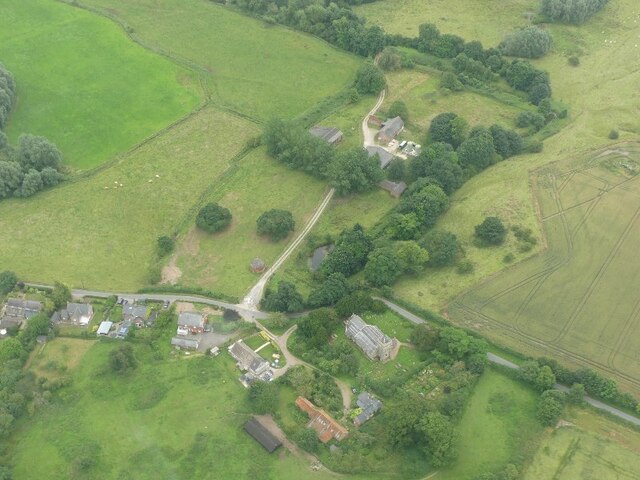
Aby is a small village located in the East Lindsey district of Lincolnshire, England. Situated approximately 8 miles northeast of the market town of Horncastle, Aby is nestled amidst the picturesque Lincolnshire Wolds, an Area of Outstanding Natural Beauty.

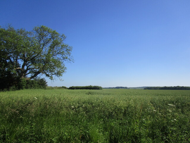
The village itself is characterized by its tranquil and rural setting, with open fields, farmland, and gently rolling hills surrounding it. Aby is home to a small population, with a tight-knit community atmosphere that offers a peaceful and friendly environment.

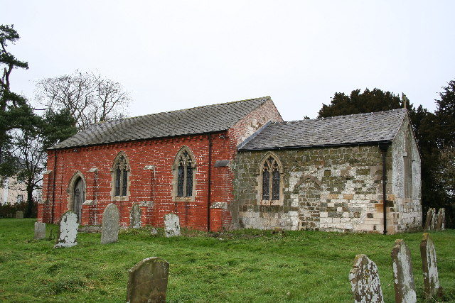
Historically, Aby dates back to the Domesday Book of 1086, where it is mentioned as "Ebei." The village has retained much of its traditional charm, with several historic buildings and landmarks dotted throughout. One such landmark is St. John the Baptist Church, a Grade II listed building that dates back to the 13th century. The church features a beautiful stained glass window and a bell tower that adds to the village's architectural appeal.

Aby is an ideal location for nature lovers and outdoor enthusiasts, with numerous walking and cycling routes that showcase the stunning natural beauty of the Lincolnshire Wolds. The village also benefits from its proximity to other popular destinations in the region, such as the coastal town of Skegness and the historic city of Lincoln, both of which are easily accessible by car.

Overall, Aby offers a peaceful and idyllic countryside escape, with its rich history, natural beauty, and close-knit community making it a truly desirable place to visit or call home.

If you have any feedback on the listing, please let us know in the comments section below.
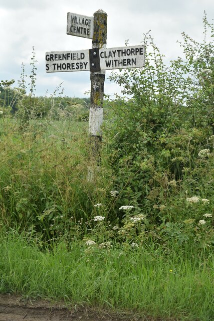
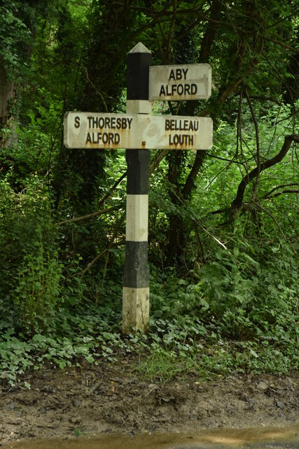
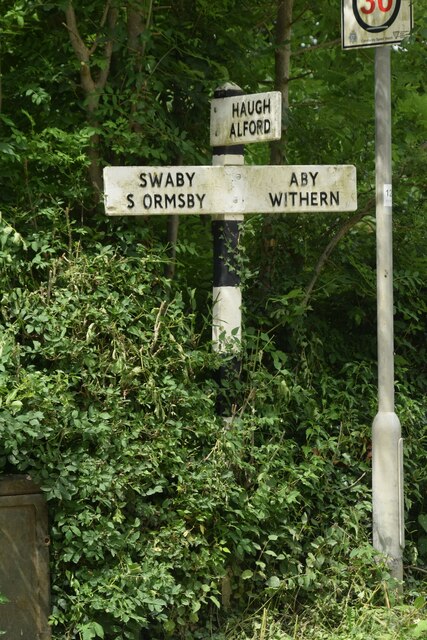
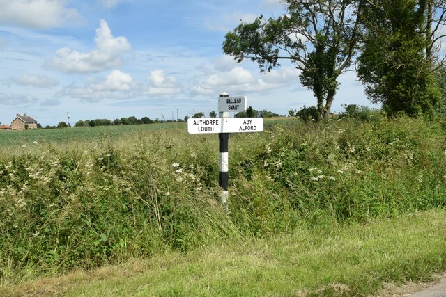
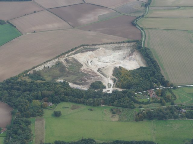
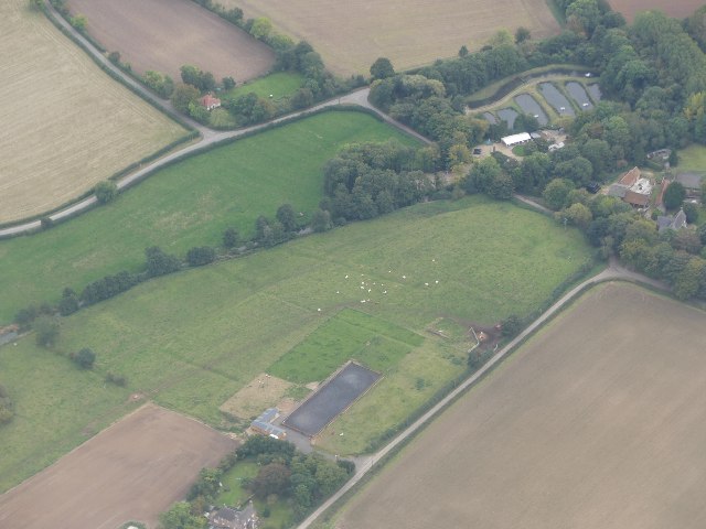
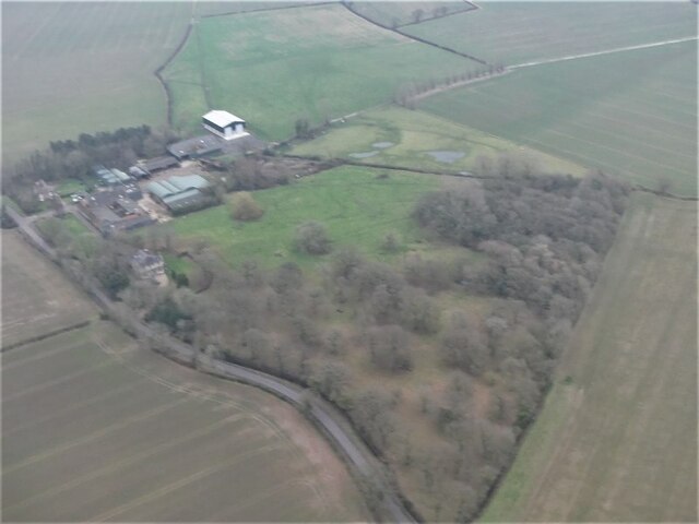
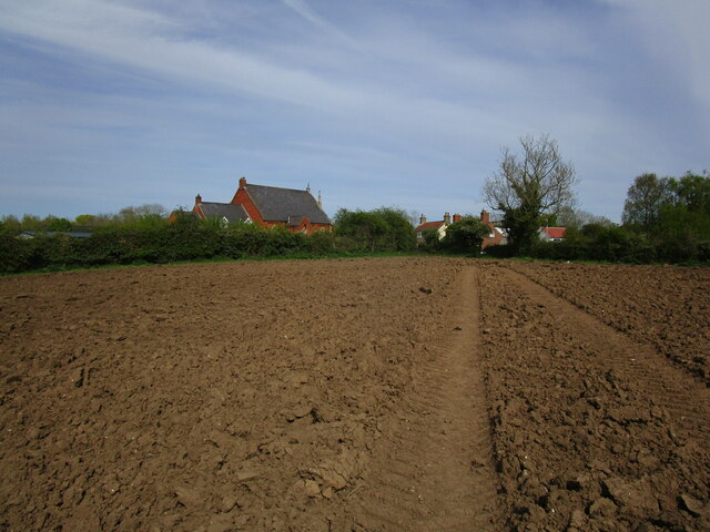
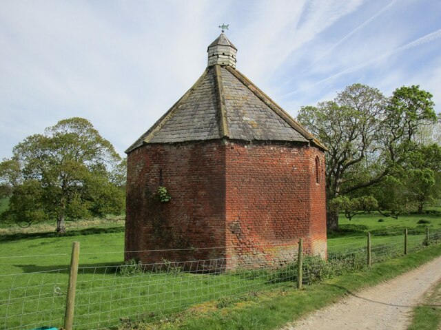
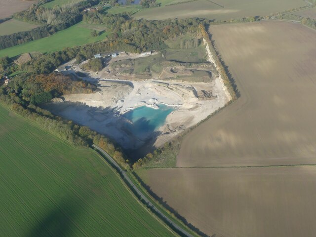
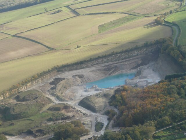
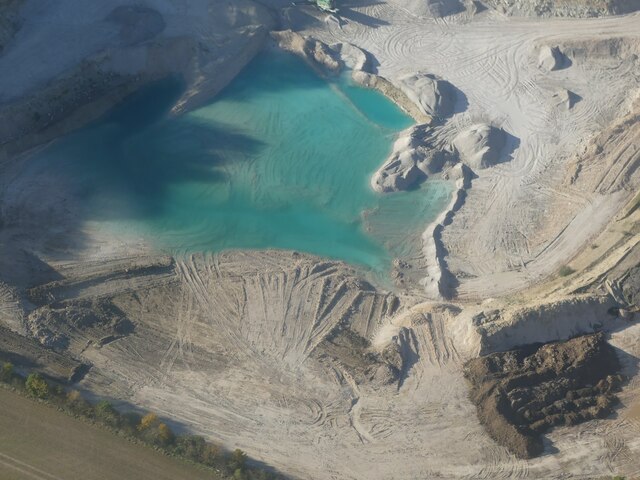
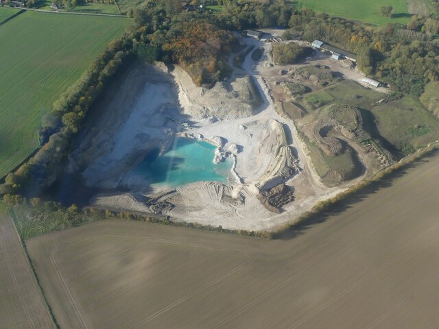
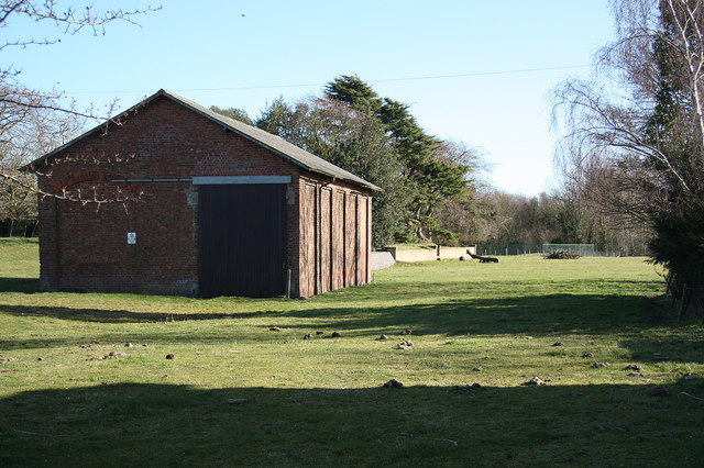
Aby Images

Images are sourced within 2km of 53.2834/0.116752 or Grid Reference TF4178. Thanks to Geograph Open Source API. All images are credited.

Direction Sign – Signpost at Aby village Located on the west side of a T junction in Aby in Aby with Greenfield parish. 3 arms and no finial. See also <a title="https://www.geograph.org.uk/photo/1003737" href="https://www.geograph.org.uk/photo/1003737">Link</a>.

Milestone Society National ID: LI_TF4178
Direction Sign – Signpost at Aby village
Located on the west side of a T junction in Aby in Aby with Greenfield parish. 3 arms and no finial. See also Link. Milestone Society National ID: LI_TF4178
Direction Sign – Signpost northeast of South Thoresby Located on the west side of a T junction northeast of the village in South Thoresby parish. 3 arms and no finial. See also <a title="https://www.geograph.org.uk/photo/1738562" href="https://www.geograph.org.uk/photo/1738562">Link</a>.

Milestone Society National ID: LI_TF4077
Direction Sign – Signpost northeast of South Thoresby
Located on the west side of a T junction northeast of the village in South Thoresby parish. 3 arms and no finial. See also Link. Milestone Society National ID: LI_TF4077
Direction Sign – Signpost opposite Haugh Lane in South Thoresby Located on the northwest side of a T junction opposite Haugh Lane in South Thoresby parish. 3 arms and no finial.

Milestone Society National ID: LI_TF4077A
Direction Sign – Signpost opposite Haugh Lane in South Thoresby
Located on the northwest side of a T junction opposite Haugh Lane in South Thoresby parish. 3 arms and no finial. Milestone Society National ID: LI_TF4077A
Belleau: aerial 2021
Direction Sign – Signpost between Claythorpe and Belleau Located on the northeast side of the T junction between Claythorpe and Belleau in Claythorpe parish. 3 arms and no finial. See also <a title="https://www.geograph.org.uk/photo/1740021" href="https://www.geograph.org.uk/photo/1740021">Link</a>.

Milestone Society National ID: LI_TF4079
Direction Sign – Signpost between Claythorpe and Belleau
Located on the northeast side of the T junction between Claythorpe and Belleau in Claythorpe parish. 3 arms and no finial. See also Link. Milestone Society National ID: LI_TF4079
Chalk Quarry at South Thoresby: aerial 2021 See <span class="nowrap"><a title="https://gbmsouththoresbyquarry.co.uk/" rel="nofollow ugc noopener" href="https://gbmsouththoresbyquarry.co.uk/">Link</a><img style="margin-left:2px;" alt="External link" title="External link - shift click to open in new window" src="https://s1.geograph.org.uk/img/external.png" width="10" height="10"/></span>
Chalk Quarry at South Thoresby: aerial 2021
See LinkExternal link
Claythorpe: aerial 2021
Aby Grange: aerial 2022
Limestone quarry at South Thorseby: aerial 2022
Trout Farm, Belleau: aerial 2022
Waterway near the Old Gatehouse, SE of Swinn Wood: aerial 2022
Footpath approaching Aby The former Methodist chapel, now a house, on the left.
Footpath approaching Aby
The former Methodist chapel, now a house, on the left.
Dovecote at Belleau Dates from the early sixteenth century <span class="nowrap"><a title="https://historicengland.org.uk/listing/the-list/list-entry/1063631?section=official-list-entry" rel="nofollow ugc noopener" href="https://historicengland.org.uk/listing/the-list/list-entry/1063631?section=official-list-entry">Link</a><img style="margin-left:2px;" alt="External link" title="External link - shift click to open in new window" src="https://s1.geograph.org.uk/img/external.png" width="10" height="10"/></span>
Dovecote at Belleau
Dates from the early sixteenth century LinkExternal link
Wheatfield off Greenfield Lane
Limestone Quarry and blue lagoon, South Thoresby: aerial 2023 (1) For explanation of blue quarry lakes see <span class="nowrap"><a title="https://en.wikipedia.org/wiki/Harpur_Hill_Quarry?fbclid=IwAR1DY23Hhe8TIAJmY2HvKQ5dHJKsoxANUsRKbHyBVxfBFYG_gAuKwgvre2k" rel="nofollow ugc noopener" href="https://en.wikipedia.org/wiki/Harpur_Hill_Quarry?fbclid=IwAR1DY23Hhe8TIAJmY2HvKQ5dHJKsoxANUsRKbHyBVxfBFYG_gAuKwgvre2k">Link</a><img style="margin-left:2px;" alt="External link" title="External link - shift click to open in new window" src="https://s1.geograph.org.uk/img/external.png" width="10" height="10"/></span>
Limestone Quarry and blue lagoon, South Thoresby: aerial 2023 (1)
For explanation of blue quarry lakes see LinkExternal link
Limestone Quarry and blue lagoon, South Thoresby: aerial 2023 (2) For explanation of blue quarry lakes see <span class="nowrap"><a title="https://en.wikipedia.org/wiki/Harpur_Hill_Quarry?fbclid=IwAR1DY23Hhe8TIAJmY2HvKQ5dHJKsoxANUsRKbHyBVxfBFYG_gAuKwgvre2k" rel="nofollow ugc noopener" href="https://en.wikipedia.org/wiki/Harpur_Hill_Quarry?fbclid=IwAR1DY23Hhe8TIAJmY2HvKQ5dHJKsoxANUsRKbHyBVxfBFYG_gAuKwgvre2k">Link</a><img style="margin-left:2px;" alt="External link" title="External link - shift click to open in new window" src="https://s1.geograph.org.uk/img/external.png" width="10" height="10"/></span>
Limestone Quarry and blue lagoon, South Thoresby: aerial 2023 (2)
For explanation of blue quarry lakes see LinkExternal link
Limestone Quarry and blue lagoon, South Thoresby: aerial 2023 (3) For explanation of blue quarry lakes see <span class="nowrap"><a title="https://en.wikipedia.org/wiki/Harpur_Hill_Quarry?fbclid=IwAR1DY23Hhe8TIAJmY2HvKQ5dHJKsoxANUsRKbHyBVxfBFYG_gAuKwgvre2k" rel="nofollow ugc noopener" href="https://en.wikipedia.org/wiki/Harpur_Hill_Quarry?fbclid=IwAR1DY23Hhe8TIAJmY2HvKQ5dHJKsoxANUsRKbHyBVxfBFYG_gAuKwgvre2k">Link</a><img style="margin-left:2px;" alt="External link" title="External link - shift click to open in new window" src="https://s1.geograph.org.uk/img/external.png" width="10" height="10"/></span>
Limestone Quarry and blue lagoon, South Thoresby: aerial 2023 (3)
For explanation of blue quarry lakes see LinkExternal link
Limestone Quarry and blue lagoon, South Thoresby: aerial 2023 (4) For explanation of blue quarry lakes see <span class="nowrap"><a title="https://en.wikipedia.org/wiki/Harpur_Hill_Quarry?fbclid=IwAR1DY23Hhe8TIAJmY2HvKQ5dHJKsoxANUsRKbHyBVxfBFYG_gAuKwgvre2k" rel="nofollow ugc noopener" href="https://en.wikipedia.org/wiki/Harpur_Hill_Quarry?fbclid=IwAR1DY23Hhe8TIAJmY2HvKQ5dHJKsoxANUsRKbHyBVxfBFYG_gAuKwgvre2k">Link</a><img style="margin-left:2px;" alt="External link" title="External link - shift click to open in new window" src="https://s1.geograph.org.uk/img/external.png" width="10" height="10"/></span>
Limestone Quarry and blue lagoon, South Thoresby: aerial 2023 (4)
For explanation of blue quarry lakes see LinkExternal link
Show me another place!

Aby is located at Grid Ref: TF4178 (Lat: 53.2834, Lng: 0.116752)

Division: Parts of Lindsey

Administrative County: Lincolnshire

District: East Lindsey

Police Authority: Lincolnshire

What 3 Words

///orbit.shadowing.stunner. Near Alford, Lincolnshire

Nearby Locations

Aby

Related Wikis

Aby, Lincolnshire

Aby ( AY-bee) is a village in the East Lindsey district of Lincolnshire, England. It is approximately 30 miles (48 km) east from the city and county town...

Aby for Claythorpe railway station

Aby for Claythorpe was a railway station on the East Lincolnshire Railway which served the hamlets of Aby and Claythorpe in Lincolnshire between 1848 and...

Claythorpe

Claythorpe is a hamlet about 5 miles (8 km) north-west from the town of Alford, Lincolnshire, England, most notable for its water mill. The population...

Beesby, East Lindsey

Beesby is a village and (as Beesby in the Marsh) a former civil parish, now in the parish of Beesby with Saleby, in the East Lindsey district of Lincolnshire...

Aby with Greenfield

Aby with Greenfield is a civil parish in the East Lindsey district of Lincolnshire, England. The population of the civil parish at the 2011 Census was...

Belleau, Lincolnshire

Belleau is a hamlet and civil parish in the East Lindsey district of Lincolnshire, England. It is situated approximately 7 miles (11 km) south-east of...

South Thoresby

South Thoresby is a village and civil parish in the East Lindsey district of Lincolnshire, England. It is situated 10 miles (16 km) north-east from Horncastle...

Greenfield Priory

Greenfield Priory was a Cistercian priory in Greenfield, near Aby, Lincolnshire, England. It was founded before the year 1153 by Eudo of Grainsby and...

Nearby Amenities

Located within 500m of 53.2834,0.116752
Bus Stop
Berwyn House
Naptan AtcoCode: 270000010488
Naptan Bearing: N
Naptan BusStopType: CUS
Naptan CommonName: Berwyn House
Naptan Indicator: opp
Naptan Landmark: Berwyn House
Naptan NaptanCode: linjmtpg
Naptan Street: New Street
Naptan Verified: no
Source: naptan_import
Lat/Long: 53.28432/0.1161353
Bus Stop
School Lane
Naptan AtcoCode: 270002700401
Naptan Bearing: S
Naptan CommonName: School Lane
Naptan Indicator: adj
Naptan Landmark: School Lane
Naptan Street: Main Street
Naptan Verified: no
Source: naptan_import
Lat/Long: 53.2833115/0.1141952
Bus Stop
Methodist Church
Naptan AtcoCode: 2700LAC02414
Naptan Bearing: SW
Naptan BusStopType: CUS
Naptan CommonName: Methodist Church
Naptan Indicator: opp
Naptan Landmark: Methodist Church
Naptan NaptanCode: linapwtg
Naptan Street: Aby
Naptan Verified: no
Source: naptan_import
Lat/Long: 53.2850208/0.1151498
Bus Stop
Methodist Church
Naptan AtcoCode: 2700LAC06693
Naptan Bearing: NE
Naptan BusStopType: CUS
Naptan CommonName: Methodist Church
Naptan Indicator: adj
Naptan Landmark: Methodist Church
Naptan NaptanCode: lingdwad
Naptan Street: Aby
Naptan Verified: no
Source: naptan_import
Lat/Long: 53.2850763/0.1150625
Bus Stop
Berwyn House
Naptan AtcoCode: 2700LANS1142
Naptan Bearing: S
Naptan BusStopType: CUS
Naptan CommonName: Berwyn House
Naptan Indicator: adj
Naptan Landmark: Berwyn House
Naptan NaptanCode: linajdjg
Naptan Street: New Street
Naptan Verified: no
Source: naptan_import
Lat/Long: 53.2843457/0.1162116
Bus Stop
Primary School
Naptan AtcoCode: 2700LAPS6204
Naptan Bearing: W
Naptan CommonName: Primary School
Naptan Indicator: o/s
Naptan Landmark: Primary School
Naptan NaptanCode: lingapwp
Naptan Street: School Lane
Naptan Verified: no
Source: naptan_import
Lat/Long: 53.283457/0.1176529
Pub
Railway Tavern
Addr City: Alford
Addr Country: GB
Addr Postcode: LN13 0DR
Addr Street: Main Road
Addr Suburb: Aby
Addr Village: Woodthorpe
Fhrs Authority: East Lindsey
Fhrs Id: 155753
Fhrs Local Authority Id: EHFDI/00751/08
Nohousenumber: yes
Lat/Long: 53.2825532/0.1125702
Aby
Place: village
Source: Bing
Wikidata: Q4670716
Lat/Long: 53.2839947/0.1163671
Pear Tree Cottage
Place: isolated_dwelling
Lat/Long: 53.2869223/0.1176099
Telephone
Booth: KX300
Covered: booth
Lat/Long: 53.2834514/0.1147963
Post Box
Post Box Type: lamp
Lat/Long: 53.2834537/0.114741
Disused Amenity: school
Old Name: Aby C of E Primary School
Lat/Long: 53.2835962/0.1179301
The data included in this document is from www.openstreetmap.org. The data is made available under ODbL.

Have you been to Aby?

Leave your review of Aby below (or comments, questions and feedback).