Ardtalnaig Glen
Valley in Perthshire
Scotland
Ardtalnaig Glen
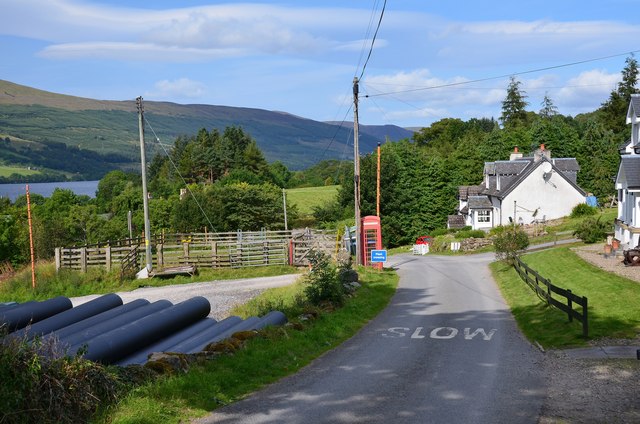
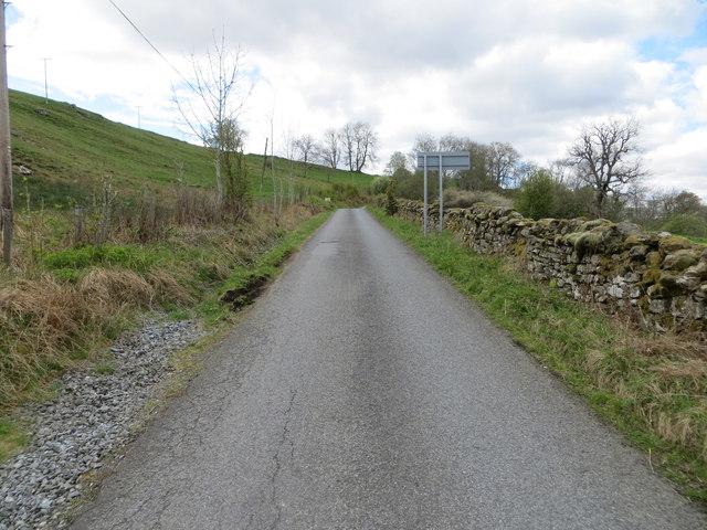
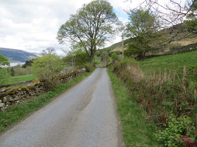
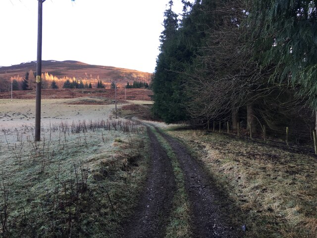
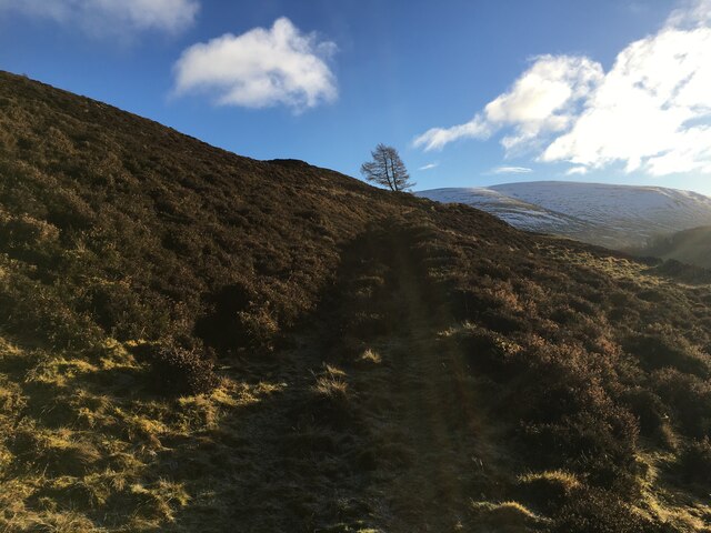
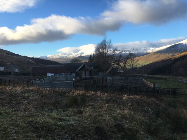
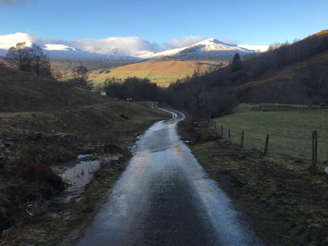
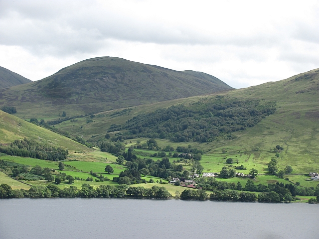
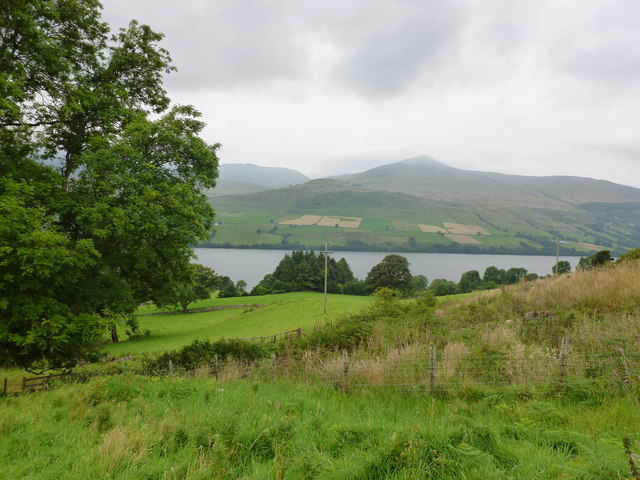
Ardtalnaig Glen is a picturesque valley located in Perthshire, Scotland. Situated amidst the stunning Scottish Highlands, this enchanting glen stretches for approximately 6 miles along the banks of Loch Tay. Known for its outstanding natural beauty, Ardtalnaig Glen offers visitors a tranquil and idyllic retreat.
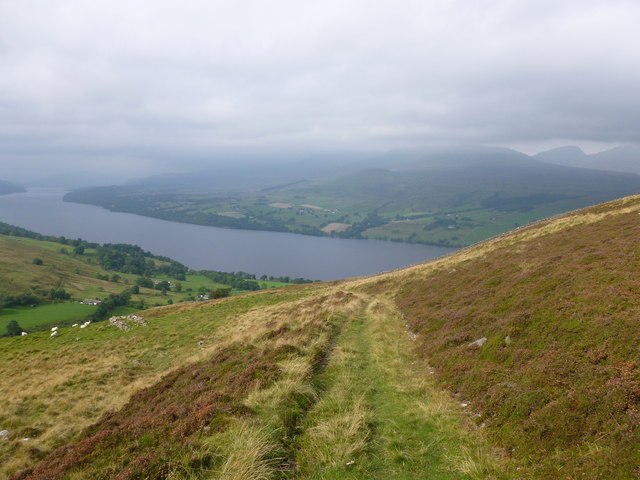
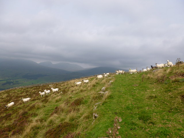
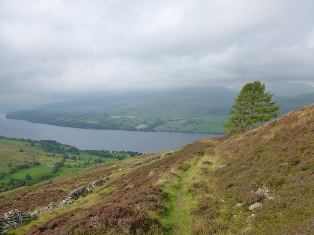
The glen is characterized by its lush greenery, rolling hills, and crystal-clear streams that flow down from the surrounding mountains. The landscape is dotted with a variety of trees, including native species such as oak and birch, adding to the charm of the glen. Visitors can also spot an array of wildlife, including red deer, red squirrels, and a variety of bird species.
Ardtalnaig Glen is a haven for outdoor enthusiasts, offering a range of activities to enjoy. Hiking and walking trails crisscross the glen, allowing visitors to explore the stunning scenery at their own pace. The glen is also a popular spot for fishing, with Loch Tay being home to a variety of fish, including salmon and trout.
For those seeking a more relaxed experience, Ardtalnaig Glen provides ample opportunities for picnicking or simply immersing oneself in the tranquility of nature. The unspoiled surroundings make it an ideal destination for photographers and nature lovers, providing endless opportunities to capture the beauty of the Scottish Highlands.
Overall, Ardtalnaig Glen is a hidden gem in Perthshire, offering visitors a peaceful escape from the hustle and bustle of everyday life. Whether you seek adventure or simply wish to connect with nature, this stunning glen is a must-visit destination in Scotland.
If you have any feedback on the listing, please let us know in the comments section below.
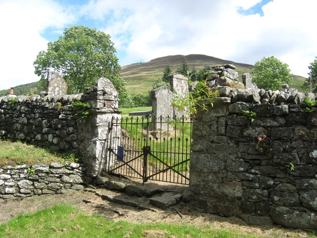
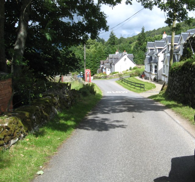
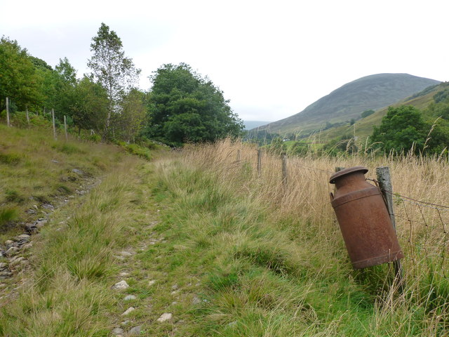
Ardtalnaig Glen Images
Images are sourced within 2km of 56.524441/-4.1001443 or Grid Reference NN7038. Thanks to Geograph Open Source API. All images are credited.


Ardtalnaig Glen is located at Grid Ref: NN7038 (Lat: 56.524441, Lng: -4.1001443)
Unitary Authority: Perth and Kinross
Police Authority: Tayside
What 3 Words
///taller.marzipan.flanks. Near Aberfeldy, Perth & Kinross
Nearby Locations
Related Wikis

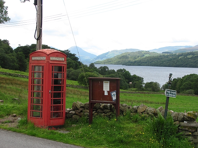
Ardtalnaig
Ardtalnaig (; Àird Talanaig) is a hamlet on the south shore of Loch Tay in Perth and Kinross in Scotland. It is approximately 6 miles (10 km) from Kenmore...

Tomnadashan
Tomnadashan was a hamlet southwest of Ardtalnaig in Scotland. John Campbell, 2nd Marquess of Breadalbane tried to mine copper, gold, and sulphur there...

Loch Tay
Loch Tay (Scottish Gaelic: Loch Tatha) is a freshwater loch in the central highlands of Scotland, in the Perth and Kinross and Stirling council areas....

Lawers
Lawers is a village situated in rural Perthshire, Scotland. It lies on the banks of Loch Tay and at the foot of Ben Lawers. It was once part of a vibrant...
Nearby Amenities
Located within 500m of 56.524441,-4.1001443Have you been to Ardtalnaig Glen?
Leave your review of Ardtalnaig Glen below (or comments, questions and feedback).