Sliabh Fuar
Downs, Moorland in Perthshire
Scotland
Sliabh Fuar
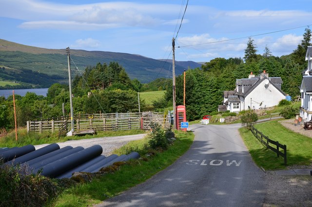
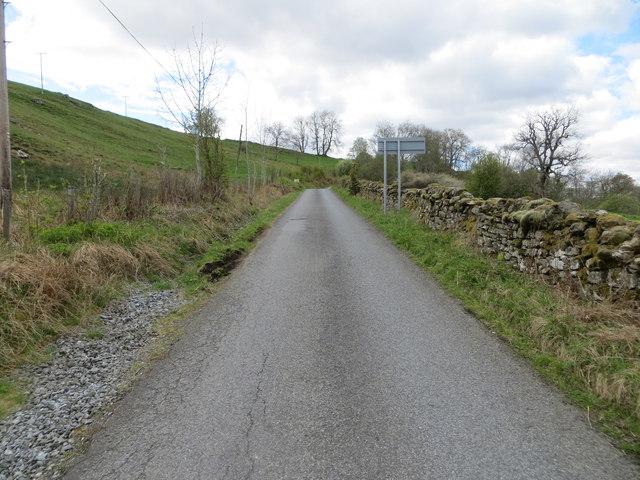
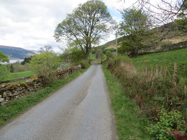
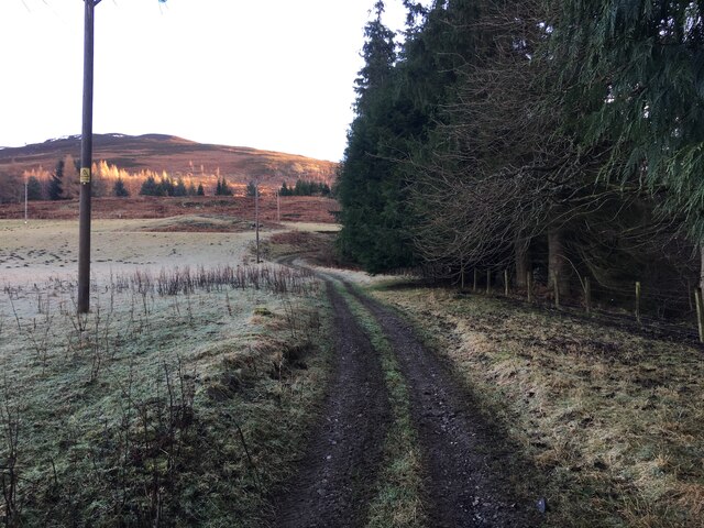
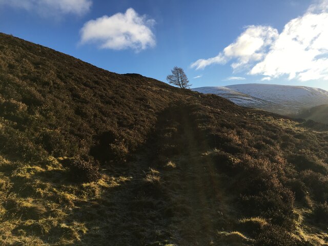
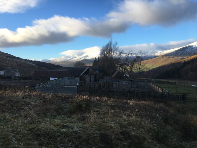
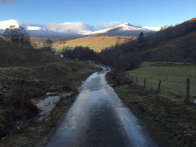
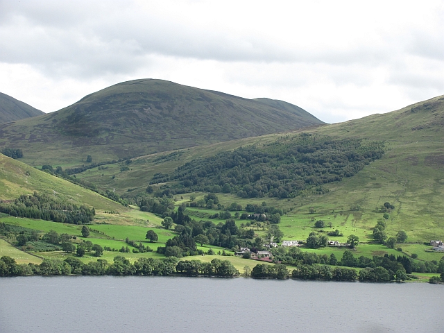
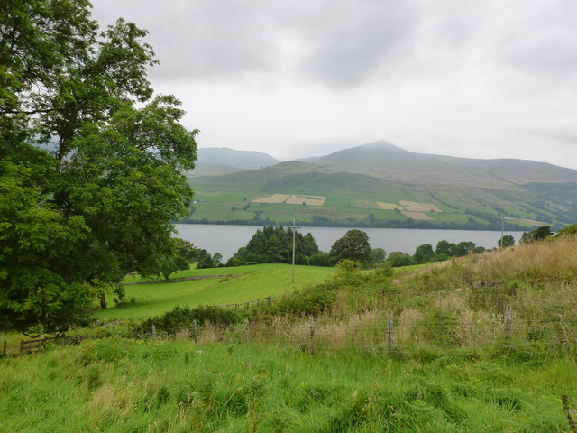
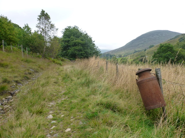
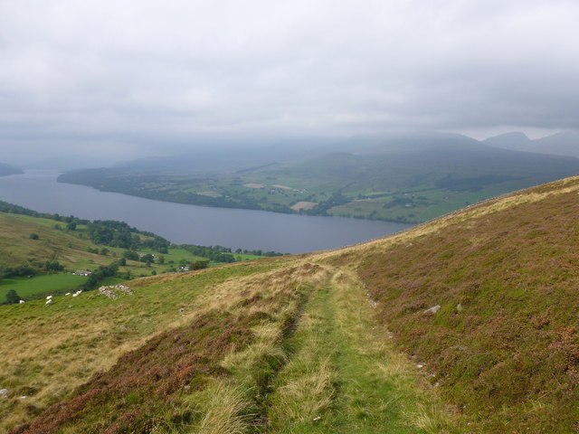
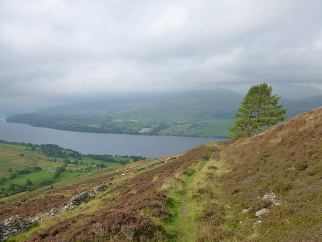
Sliabh Fuar, located in Perthshire, Scotland, is a rugged and remote area characterized by its vast expanses of moorland and rolling hills. The landscape of Sliabh Fuar is dominated by heather-covered slopes, rocky outcrops, and scattered patches of woodland. The area is known for its stunning views of the surrounding countryside, including the nearby Grampian Mountains.
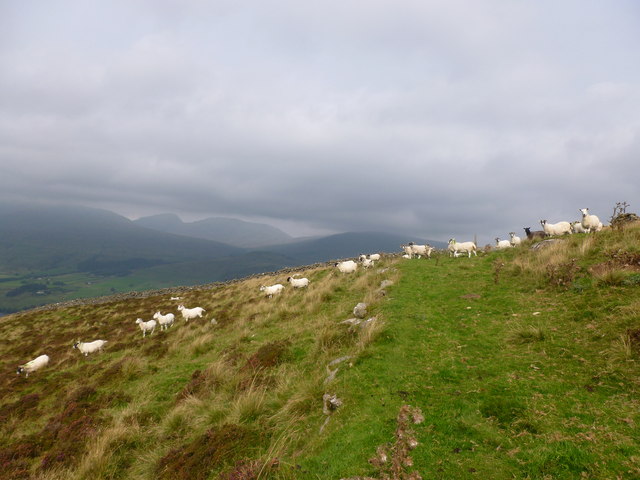
Sliabh Fuar is a haven for wildlife, with a variety of bird species such as red grouse, golden eagles, and peregrine falcons calling the area home. The moorland is also home to deer, hares, and other mammals, making it a popular destination for nature enthusiasts and wildlife photographers.
The weather in Sliabh Fuar can be unpredictable, with frequent changes in temperature and weather conditions. The area is prone to strong winds and heavy rainfall, particularly in the winter months. As such, visitors are advised to come prepared with appropriate clothing and footwear.
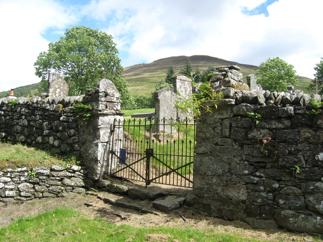
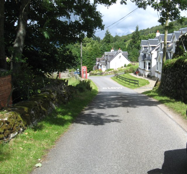
Overall, Sliabh Fuar offers a peaceful and serene escape from the hustle and bustle of city life, where visitors can immerse themselves in the natural beauty of the Scottish countryside.
If you have any feedback on the listing, please let us know in the comments section below.
Sliabh Fuar Images
Images are sourced within 2km of 56.516792/-4.0997048 or Grid Reference NN7038. Thanks to Geograph Open Source API. All images are credited.


Sliabh Fuar is located at Grid Ref: NN7038 (Lat: 56.516792, Lng: -4.0997048)
Unitary Authority: Perth and Kinross
Police Authority: Tayside
What 3 Words
///surreal.scripted.unscathed. Near Comrie, Perth & Kinross
Nearby Locations
Related Wikis

Ardtalnaig
Ardtalnaig (; Àird Talanaig) is a hamlet on the south shore of Loch Tay in Perth and Kinross in Scotland. It is approximately 6 miles (10 km) from Kenmore...

Tomnadashan
Tomnadashan was a hamlet southwest of Ardtalnaig in Scotland. John Campbell, 2nd Marquess of Breadalbane tried to mine copper, gold, and sulphur there...

Loch Tay
Loch Tay (Scottish Gaelic: Loch Tatha) is a freshwater loch in the central highlands of Scotland, in the Perth and Kinross and Stirling council areas....

Lawers
Lawers is a village situated in rural Perthshire, Scotland. It lies on the banks of Loch Tay and at the foot of Ben Lawers. It was once part of a vibrant...
Related Videos
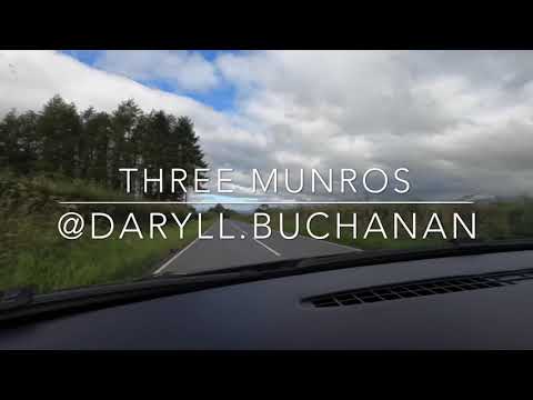
Hiking in Scotland - Three Munro Circuit - Càrn Gorm, Meall Garbh & Meall a’ Bharr
In what was meant to be a longer walk with camping, we managed 3 munros and headed home! Someone in the party wasn't ...
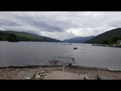
Travel to Kenmore,loch Tay, Scotland, UK
Traveling Youtube channel: Please, subscribe to: Lina Ivanova https://www.youtube.com/channel/UCitHjmX4IOs2jHHmBoqOUUw ...
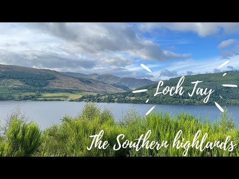
Ultimate UK Roadtrip - Day 9 - We explore Loch Tay! #Scotland #travel #highlands
WE EXPLORE LOCH TAY AND THE HOUSE OF BRAUR IN THE SCOTTISH HIGHLANDS! This was one of most ...
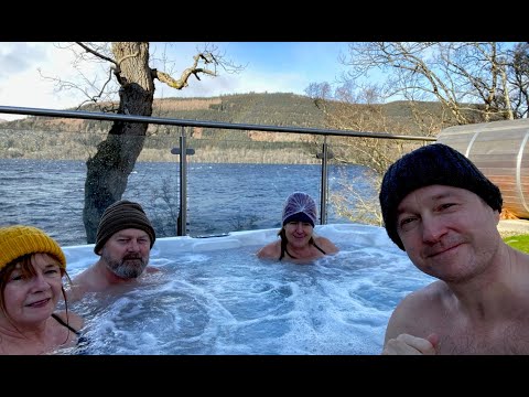
Loch Tay 2020
A winter trip to Loch Tay in late February 2020.
Nearby Amenities
Located within 500m of 56.516792,-4.0997048Have you been to Sliabh Fuar?
Leave your review of Sliabh Fuar below (or comments, questions and feedback).