Ardoch Glen
Valley in Kirkcudbrightshire
Scotland
Ardoch Glen
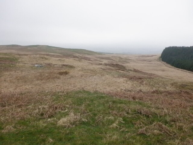
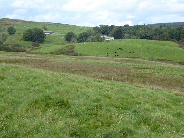
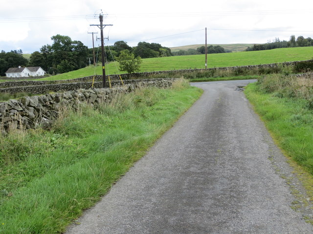
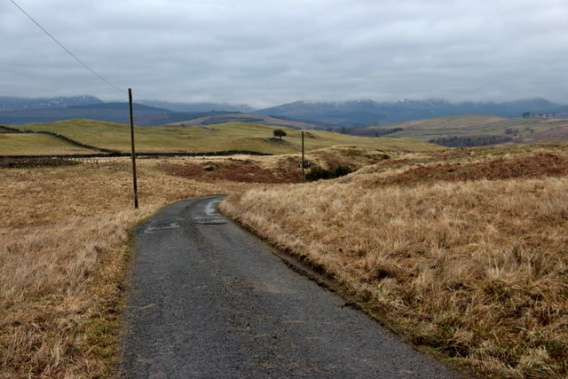
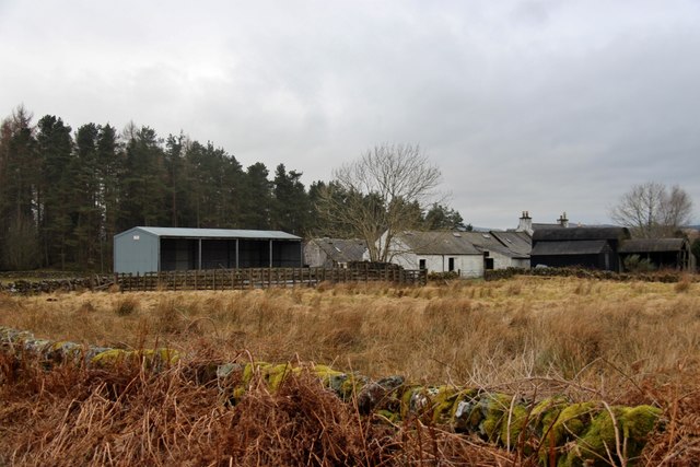
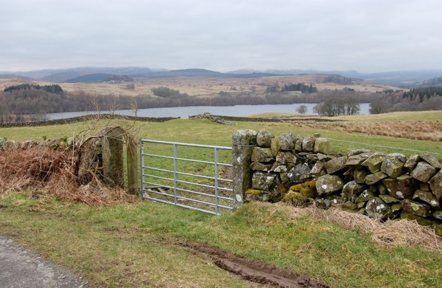
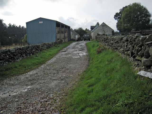
Ardoch Glen is a picturesque valley located in the historic county of Kirkcudbrightshire, in southwestern Scotland. Nestled amidst the rolling hills and lush countryside, the glen stretches for approximately 5 miles, offering stunning views of the surrounding landscape.
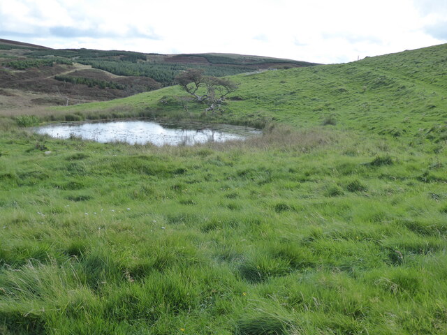
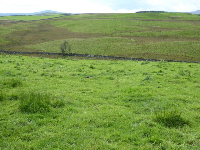
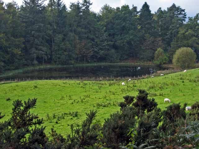
The valley is renowned for its natural beauty, with a diverse range of flora and fauna that thrive in its fertile soil and mild climate. Visitors to Ardoch Glen can expect to encounter a variety of plant species, including heather, bracken, and woodland wildflowers, which paint the landscape with vibrant colors during the spring and summer months.
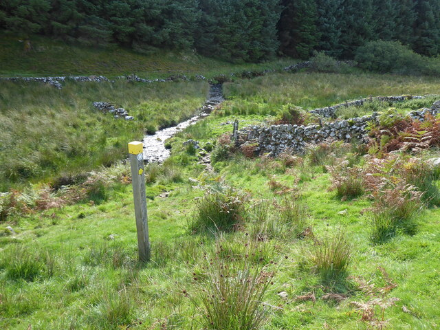
The glen is intersected by a crystal-clear river, which meanders through the valley, adding to its charm and tranquility. The river is a popular spot for fishing enthusiasts, with opportunities to catch salmon and trout.
Ardoch Glen is also home to a rich history, with ancient ruins and archaeological sites scattered throughout the area. The remains of a medieval castle can be found on a hilltop, offering a glimpse into the region's past.
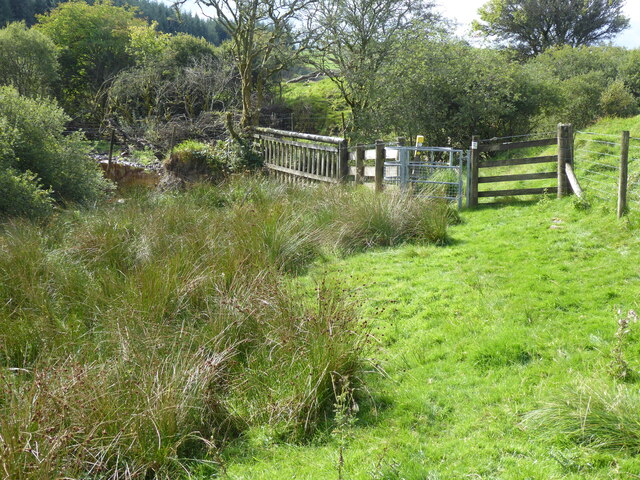
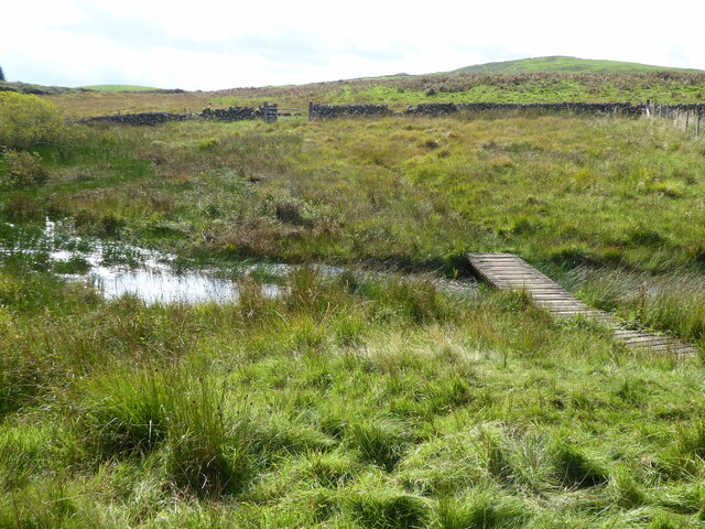
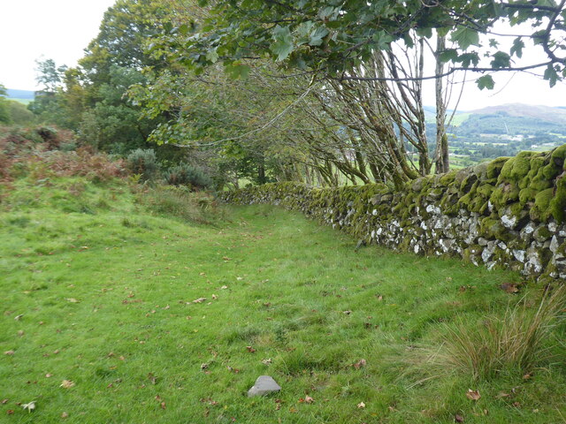
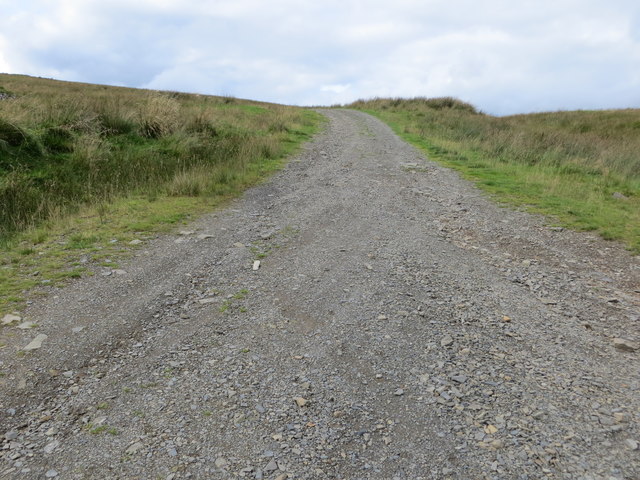
Hikers and nature enthusiasts are drawn to Ardoch Glen, as it offers a network of well-maintained trails that wind through the valley and up into the surrounding hills. These trails provide opportunities for both leisurely walks and more challenging hikes, with breathtaking vistas awaiting those who reach the higher elevations.
Overall, Ardoch Glen is a haven of natural beauty and serenity, where visitors can immerse themselves in the stunning Scottish countryside and explore its rich history.
If you have any feedback on the listing, please let us know in the comments section below.
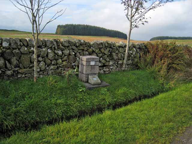
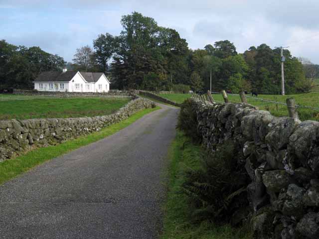
Ardoch Glen Images
Images are sourced within 2km of 55.126812/-4.1419208 or Grid Reference NX6383. Thanks to Geograph Open Source API. All images are credited.
Ardoch Glen is located at Grid Ref: NX6383 (Lat: 55.126812, Lng: -4.1419208)
Unitary Authority: Dumfries and Galloway
Police Authority: Dumfries and Galloway
What 3 Words
///evaporate.etchings.number. Near Castle Douglas, Dumfries & Galloway
Nearby Locations
Related Wikis

Earlstoun Castle
Earlstoun Castle, sometimes spelled Earlston Castle, is a derelict tower house near St John's Town of Dalry in Dumfries and Galloway, Scotland. Built in...

St John's Town of Dalry
St John's Town of Dalry (Scottish Gaelic: Clachan Eòin), usually referred to simply as Dalry (/dæl'raɪ/ / 'dal-RYE'), is a village in Dumfries and Galloway...

Lochinvar
Lochinvar (or Lan Var) is a loch in the civil parish of Dalry in the historic county of Kirkcudbrightshire, Dumfries and Galloway Scotland. It is located...

Polharrow Burn
Polharrow Burn is a small watercourse in Dumfries and Galloway, Scotland, in the historic county of Kirkcudbrightshire. It rises in Loch Harrow and flows...

Barscobe Castle
Barscobe Castle is a 17th-century tower house in Balmaclellan, Kirkcudbrightshire, Scotland. It is a typical house of a country laird, and according to...

Balmaclellan
Balmaclellan (Scottish Gaelic: Baile Mac-a-ghille-dhiolan, meaning town of the MacLellans) is a small hillside village of stone houses with slate roofs...

Ken Bridge
The Ken Bridge is a road bridge about 0.8 kilometres (0.5 mi) north east of New Galloway in Dumfries and Galloway, Scotland, which carries the A712 road...

Kells, Dumfries and Galloway
Kells parish, in the Stewartry of Kirkcudbright in Scotland, is located 14 miles (NWbN) from Castle-Douglas, and 19 miles (NbW) from Kirkcudbright. It...
Nearby Amenities
Located within 500m of 55.126812,-4.1419208Have you been to Ardoch Glen?
Leave your review of Ardoch Glen below (or comments, questions and feedback).