Ardoch Hill

Hill, Mountain in Kirkcudbrightshire

Scotland

Ardoch Hill

The Southern Upland Way near Earlstoun Burn
The Southern Upland Way near Earlstoun Burn Credit: Dave Kelly

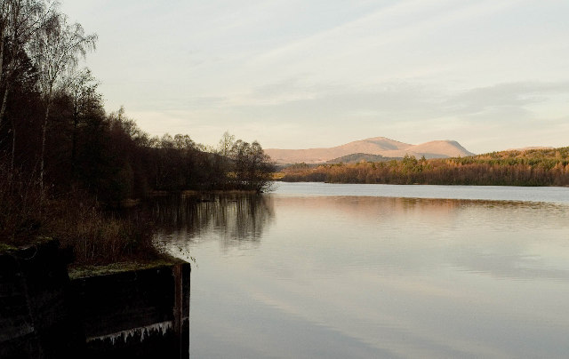
Ardoch Hill is a prominent hill located in the region of Kirkcudbrightshire, Scotland. Standing at an elevation of 266 meters (873 feet), it is a significant landmark in the area. The hill is situated near the village of Ardoch and offers breathtaking views of the surrounding countryside.

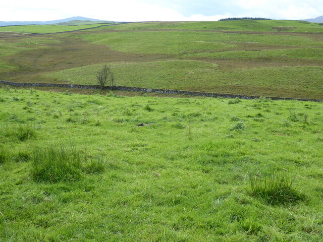
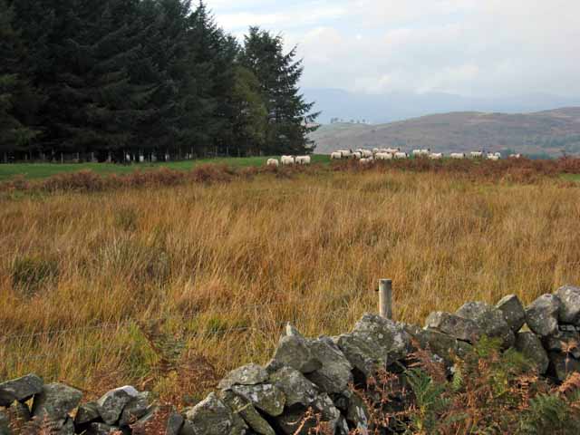
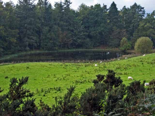
Ardoch Hill is characterized by its gently sloping sides, covered in lush green vegetation and interspersed with rocky outcrops. The hill is predominantly composed of sedimentary rocks, with layers of sandstone and shale evident in its structure. These geological features make Ardoch Hill an attractive destination for geology enthusiasts and hikers alike.

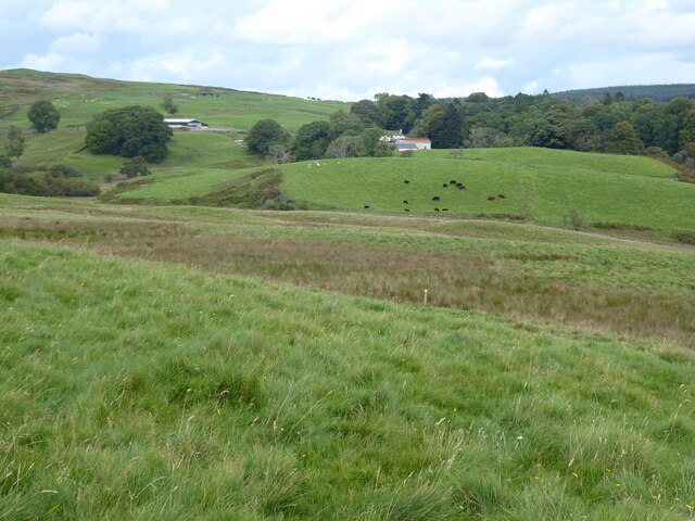
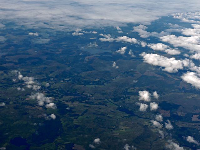
The summit of Ardoch Hill offers panoramic views of the picturesque Scottish landscape. On a clear day, visitors can enjoy vistas of rolling hills, meandering rivers, and distant mountain ranges. The hill's strategic location provides an ideal vantage point to observe the surrounding countryside and appreciate the beauty of nature.

Ardoch Hill is also known for its historical significance. It is believed to have been an ancient fortification site during the Iron Age, with remnants of earthworks and ramparts still visible today. These archaeological features attract history enthusiasts and provide valuable insights into the region's past.

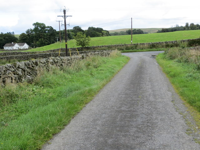
Access to Ardoch Hill is relatively easy, with several walking trails leading to its summit. The hill is a popular destination for outdoor activities such as hiking, nature walks, and picnics. It offers a peaceful and tranquil environment, allowing visitors to connect with nature and experience the tranquility of the Scottish countryside.

In conclusion, Ardoch Hill in Kirkcudbrightshire is a prominent hill offering stunning views, geological interest, and historical significance. It serves as a popular destination for outdoor enthusiasts, providing a serene and picturesque setting for exploration and appreciation of the natural beauty of Scotland.

If you have any feedback on the listing, please let us know in the comments section below.
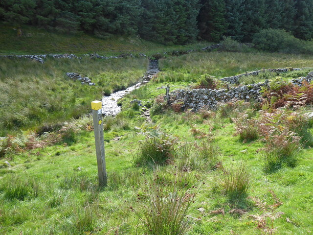
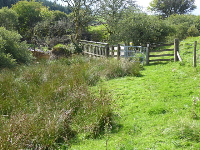
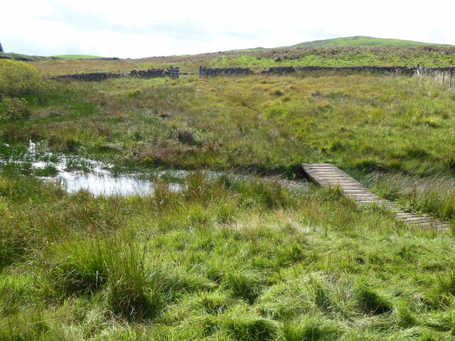
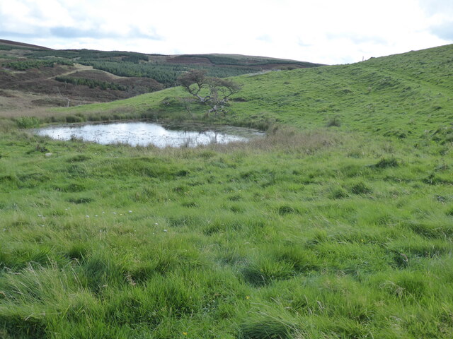
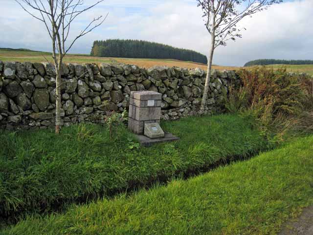
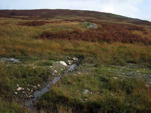
Ardoch Hill Images

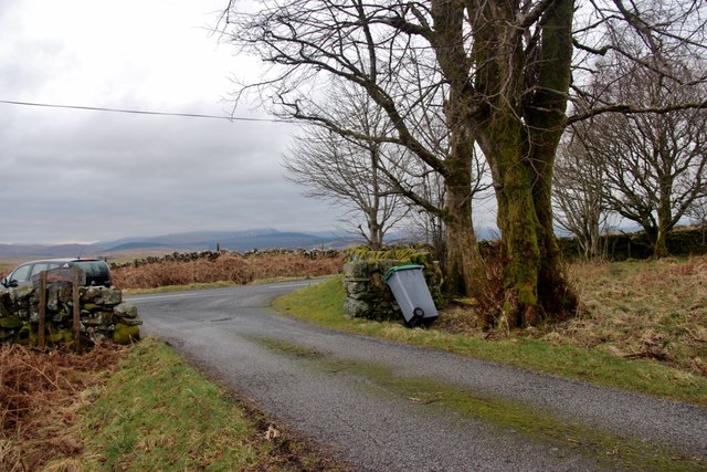
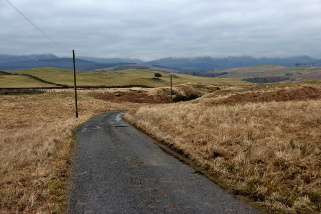
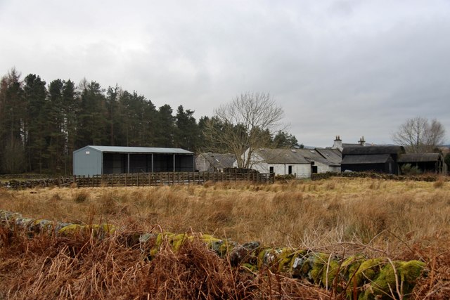
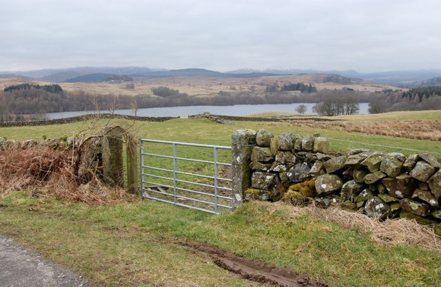
Images are sourced within 2km of 55.130403/-4.1493291 or Grid Reference NX6383. Thanks to Geograph Open Source API. All images are credited.

The Southern Upland Way near Earlstoun Burn
The Southern Upland Way near Brown Rig
The Southern Upland Way near Knowehead of Ardoch
The Glenkens from the air On the Southern Upland Way. This <span class="nowrap"><a title="http://www.theglenkens.org.uk/" rel="nofollow ugc noopener" href="http://www.theglenkens.org.uk/">Link</a><img style="margin-left:2px;" alt="External link" title="External link - shift click to open in new window" src="https://s1.geograph.org.uk/img/external.png" width="10" height="10"/></span> reveals all.
The Glenkens from the air
On the Southern Upland Way. This LinkExternal link reveals all.
Minor road joining the B7000 near Blawquhairn Farm Looking north-eastward.
Minor road joining the B7000 near Blawquhairn Farm
Looking north-eastward.
The Barlaes road meets the B7000
Road to Todstone farm
Millquarter, a farm below Ardoch Hill
Field gate at Blawquhairn Farm Earlstoun Loch fills the valley below.
Field gate at Blawquhairn Farm
Earlstoun Loch fills the valley below.
Earlstoun Loch Reservoir Looking NE from the A713 adjacent to the Earlstoun Dam
Earlstoun Loch Reservoir
Looking NE from the A713 adjacent to the Earlstoun Dam
Rough grazing at Todstone in the Glenkens
Pond near St John's Town of Dalry Seen from the B7000 Dalry to Kendoon road.
Pond near St John's Town of Dalry
Seen from the B7000 Dalry to Kendoon road.
Millquarter, near St John's Town of Dalry Seen from the B7000 Dalry to Kendoon road.
Millquarter, near St John's Town of Dalry
Seen from the B7000 Dalry to Kendoon road.
Johnny Stirling Memorial Standing beside the B7000, Dalry to Kendoon road. The inscription reads "In memory of Johnny Stirling who died here on 3rd May 1992 while cycling in Bonny Galloway. Sadly missed by family and friends." Below is a dedication to his wife whose ashes are scattered at the same spot. I have not been able to find any more information. This is not the only cyclist's memorial in the area - see also <a href="https://www.geograph.org.uk/photo/263422">NX3590 : Bell Memorial</a>
Johnny Stirling Memorial
Standing beside the B7000, Dalry to Kendoon road. The inscription reads "In memory of Johnny Stirling who died here on 3rd May 1992 while cycling in Bonny Galloway. Sadly missed by family and friends." Below is a dedication to his wife whose ashes are scattered at the same spot. I have not been able to find any more information. This is not the only cyclist's memorial in the area - see also NX3590 : Bell Memorial
Barlaes Hill
Barlaes Hill
Show me another place!

Ardoch Hill is located at Grid Ref: NX6383 (Lat: 55.130403, Lng: -4.1493291)

Unitary Authority: Dumfries and Galloway

Police Authority: Dumfries and Galloway

What 3 Words

///gasping.salads.umbrellas. Near Castle Douglas, Dumfries & Galloway

Related Wikis

Earlstoun Castle

Earlstoun Castle, sometimes spelled Earlston Castle, is a derelict tower house near St John's Town of Dalry in Dumfries and Galloway, Scotland. Built in...

Polharrow Burn

Polharrow Burn is a small watercourse in Dumfries and Galloway, Scotland, in the historic county of Kirkcudbrightshire. It rises in Loch Harrow and flows...

St John's Town of Dalry

St John's Town of Dalry (Scottish Gaelic: Clachan Eòin), usually referred to simply as Dalry (/dæl'raɪ/ / 'dal-RYE'), is a village in Dumfries and Galloway...

Lochinvar

Lochinvar (or Lan Var) is a loch in the civil parish of Dalry in the historic county of Kirkcudbrightshire, Dumfries and Galloway Scotland. It is located...

Nearby Amenities

Located within 500m of 55.130403,-4.1493291
Ardoch Hill
Ele: 217
Natural: peak
Lat/Long: 55.1317263/-4.1475793
Barrier: cattle_grid
Lat/Long: 55.1267459/-4.1478163
Barrier: kissing_gate
Foot: yes
Lat/Long: 55.1267485/-4.147795
Man Made: cairn
Lat/Long: 55.1295569/-4.149203
Power: pole
Lat/Long: 55.1262252/-4.1483402
Power: pole
Lat/Long: 55.1264487/-4.1494789
Power: pole
Lat/Long: 55.1266382/-4.1504667
Power: pole
Lat/Long: 55.1268361/-4.151461
Power: pole
Lat/Long: 55.1270256/-4.1524446
Power: pole
Lat/Long: 55.1271532/-4.1531181
Power: pole
Lat/Long: 55.1274896/-4.1541612
Power: pole
Lat/Long: 55.1277982/-4.1551299
The data included in this document is from www.openstreetmap.org. The data is made available under ODbL.

Have you been to Ardoch Hill?

Leave your review of Ardoch Hill below (or comments, questions and feedback).