Baldow Glen

Valley in Stirlingshire

Scotland

Baldow Glen

North edge of Lennoxtown Seen from North Birbiston Road.
North edge of Lennoxtown Credit: Stephen Sweeney

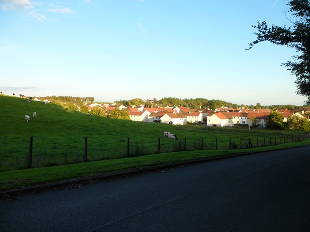
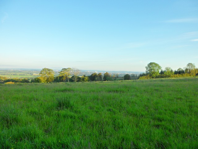
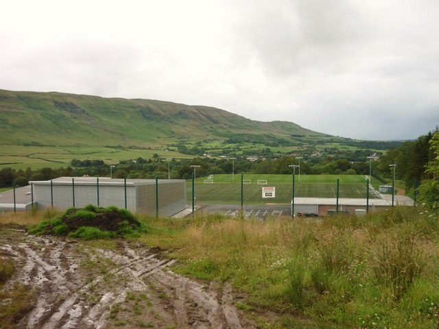
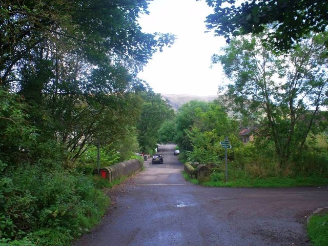
Baldow Glen is a picturesque valley located in Stirlingshire, Scotland. Nestled amidst the stunning landscape of the Central Lowlands, it offers a serene and idyllic setting for nature enthusiasts and adventurers alike.

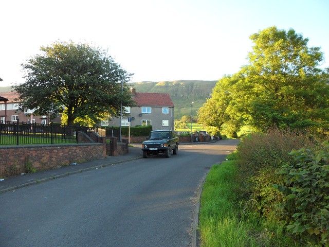
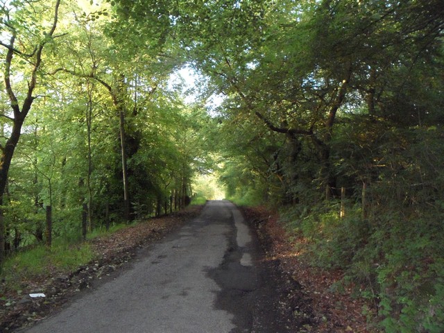
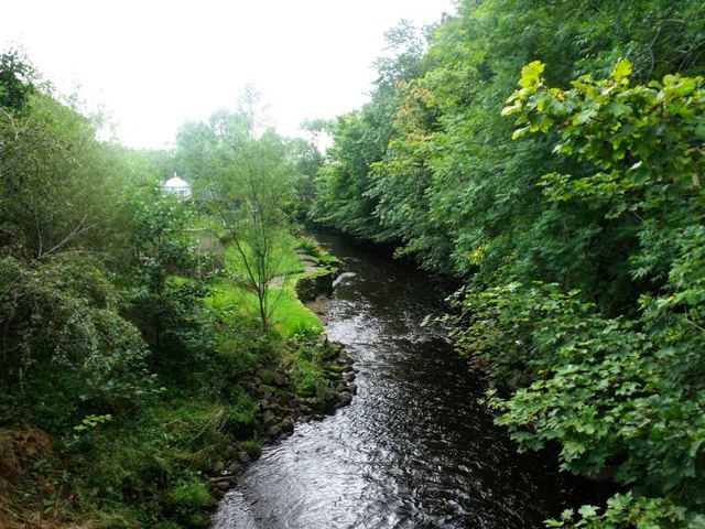
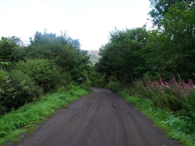
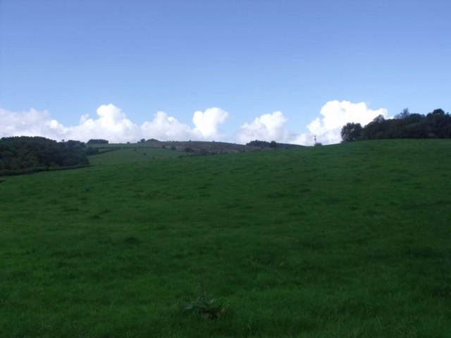
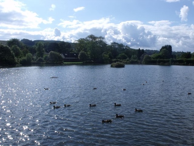
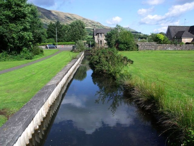
This beautiful glen is surrounded by rolling hills, lush greenery, and meandering streams, creating a tranquil atmosphere that is perfect for those seeking a peaceful escape from the hustle and bustle of daily life. The glen is also home to a diverse range of flora and fauna, making it a haven for wildlife enthusiasts and nature lovers.

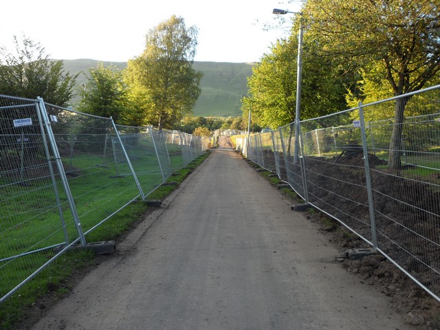
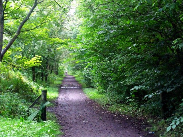
Visitors to Baldow Glen can explore its numerous walking trails, which wind through the valley and provide breathtaking views of the surrounding countryside. The trails cater to all levels of fitness and offer a chance to immerse oneself in the beauty of the Scottish countryside. The glen is also a popular spot for picnics, with designated areas providing the perfect setting to enjoy a meal amidst nature.

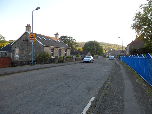
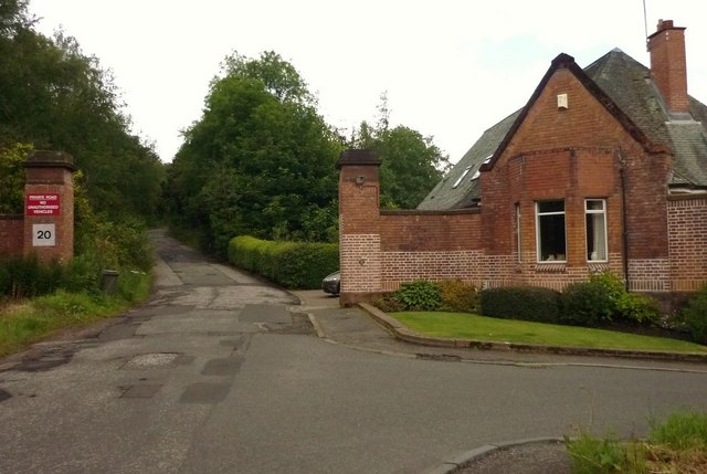
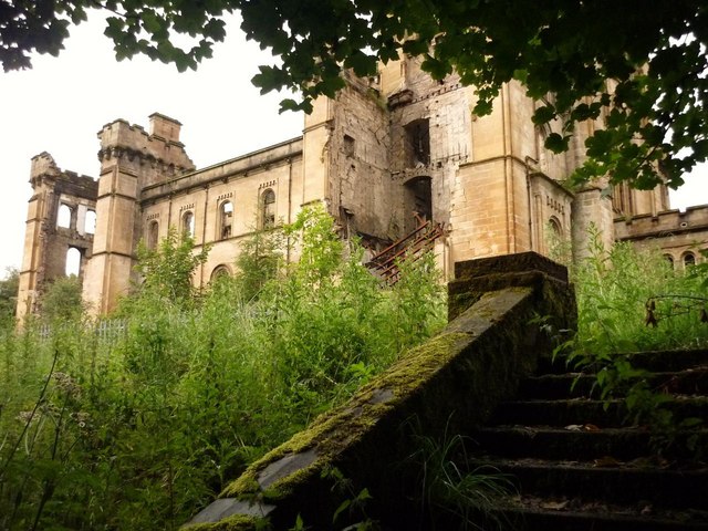
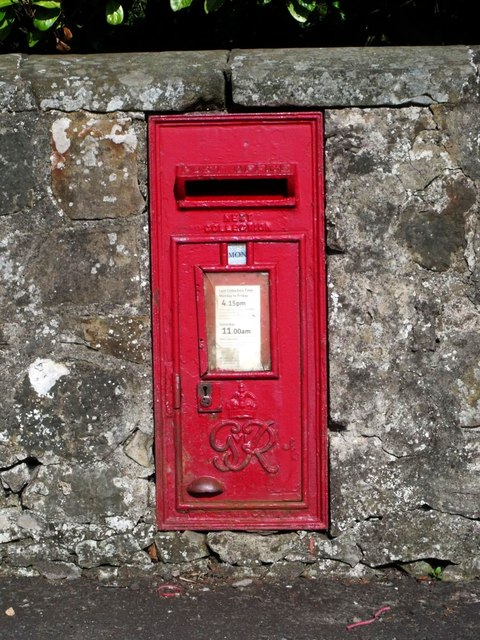
For those interested in history, Baldow Glen has its own fascinating past. Ruins of old mills and farmhouses can be found scattered throughout the valley, offering a glimpse into the area's rich industrial heritage. Additionally, the glen is home to several archaeological sites, including ancient burial grounds and stone circles, which provide insights into the lives of the people who once inhabited the area.

Overall, Baldow Glen is a hidden gem in Stirlingshire, offering a tranquil retreat that showcases the natural beauty and historical significance of the region. Whether one is looking for a peaceful stroll, a picnic spot, or a chance to explore the area's past, this valley has something to offer to everyone.

If you have any feedback on the listing, please let us know in the comments section below.

Baldow Glen Images

Images are sourced within 2km of 55.970211/-4.220485 or Grid Reference NS6177. Thanks to Geograph Open Source API. All images are credited.

North edge of Lennoxtown Seen from North Birbiston Road.
North edge of Lennoxtown
Seen from North Birbiston Road.
Bencloich Crescent, Lennoxtown Stunningly set beneath the Campsie Fells.
Bencloich Crescent, Lennoxtown
Stunningly set beneath the Campsie Fells.
Public path behind Lennoxtown A lot of work going on around here - I think it may be a new housing development.
Public path behind Lennoxtown
A lot of work going on around here - I think it may be a new housing development.
North Birbiston Road, Lennoxtown
Road to Lennoxtown Just east of Muirhead Farm.
Road to Lennoxtown
Just east of Muirhead Farm.
Field west of Muirhead Farm Overlooking Glasgow.
Field west of Muirhead Farm
Overlooking Glasgow.
Approaching Lennoxtown on the B822 From the south.
Approaching Lennoxtown on the B822
From the south.
South Gate Lodge, Lennox Castle Hospital
Looking northeast from track to Lennox Castle A splendid view over Celtic F.C.'s training facility and beyond.
Looking northeast from track to Lennox Castle
A splendid view over Celtic F.C.'s training facility and beyond.
Lennox Castle Hospital (ruin) The picture was taken from a stairway which takes you down to what
was once a bowling green. The green is now heavily overgrown but the
benches and square enclosure wall are still there to be seen. 

The hospital itself is in a ruinous state and looks as though it 
could collapse at any time.
Lennox Castle Hospital (ruin)
The picture was taken from a stairway which takes you down to what was once a bowling green. The green is now heavily overgrown but the benches and square enclosure wall are still there to be seen. The hospital itself is in a ruinous state and looks as though it could collapse at any time.
Lennoxtown, Glazert Water
Lennoxtown, path to Milton of Campsie Follows the old track of the LNER railway which connected Kirkintilloch with the near north.
Lennoxtown, path to Milton of Campsie
Follows the old track of the LNER railway which connected Kirkintilloch with the near north.
Lennoxtown, road, paths and bridge The path from Strathblane to Kirkintilloch crosses the scene and the bridge over the Glazert leads into the town via Chestnut Walk seen in the distance.
Lennoxtown, road, paths and bridge
The path from Strathblane to Kirkintilloch crosses the scene and the bridge over the Glazert leads into the town via Chestnut Walk seen in the distance.
Lennoxtown, road from Finniescroft Wood
Lennoxtown, South Brae View towards the South Brae area.
Lennoxtown, South Brae
View towards the South Brae area.
Lennoxtown, Crosshill Street A George VI letter box for the Geograph collection of such things.
Lennoxtown, Crosshill Street
A George VI letter box for the Geograph collection of such things.
Lennoxtown, Whitefield Dam Dug out and formed in the early nineteenth century to store water for the Lennox Mill Printworks. 
The pond is fed from a series of drains coming off the Campsies which eventually are channelled into a small canal which enters the pond from the north. The overflow leaves by a weir situated at the north east corner.
Lennoxtown, Whitefield Dam
Dug out and formed in the early nineteenth century to store water for the Lennox Mill Printworks. The pond is fed from a series of drains coming off the Campsies which eventually are channelled into a small canal which enters the pond from the north. The overflow leaves by a weir situated at the north east corner.
Lennoxtown, Whitefield Dam The inflow canal that supplies the levels for the pond. See also <a href="https://www.geograph.org.uk/photo/2592172">NS6278 : Lennoxtown, Whitefield Dam</a>
Lennoxtown, Whitefield Dam
The inflow canal that supplies the levels for the pond. See also NS6278 : Lennoxtown, Whitefield Dam
Show me another place!

Baldow Glen is located at Grid Ref: NS6177 (Lat: 55.970211, Lng: -4.220485)

Unitary Authority: East Dunbartonshire

Police Authority: Greater Glasgow

What 3 Words

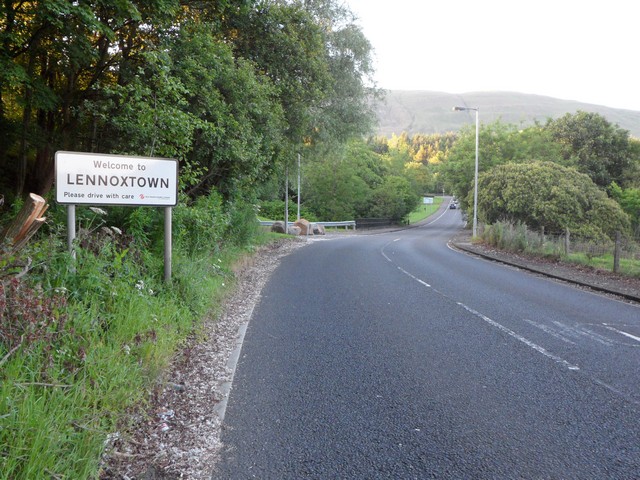
///warned.being.morphing. Near Lennoxtown, East Dunbartonshire

Related Wikis

Lennoxtown training centre

Lennoxtown Training Centre is Celtic F.C.'s training centre, located at Lennoxtown, East Dunbartonshire in Scotland. The complex houses the club's training...

East Dunbartonshire (UK Parliament constituency)

East Dunbartonshire is a county constituency of the House of Commons of the Parliament of the United Kingdom (Westminster). It elects one Member of Parliament...

Lennoxtown

Lennoxtown (Scottish Gaelic: Baile na Leamhnachd, pronounced [ˈpalə nə ˈʎãũnəxk]) is a town in the East Dunbartonshire council area and the historic county...

The Lennox

The Lennox (Scottish Gaelic: Leamhnachd, pronounced [ˈʎãũnəxk]) is a region of Scotland centred on The Vale of Leven, including its great loch: Loch Lomond...

Lennoxtown (New) railway station

Lennoxtown railway station served the town of Lennoxtown, Dunbartonshire, Scotland from 1867 to 1951 on the Blane Valley Railway. == History == The station...

Finglen Burn

The Finglen Burn is a burn in Scotland that runs from north east of the Earl's Seat (the highest point on the Campsie Fells) to just north of Campsie Village...

Campsie Glen railway station

Campsie Glen railway station served the village of Clachan of Campsie, East Dunbartonshire, Scotland from 1867 to 1951 on the Blane Valley Railway; the...

Lennoxtown (Old) railway station

Lennoxtown railway station served the town of Lennoxtown, Dunbartonshire, Scotland from 1848 to 1881 on the Blane Valley Railway. == History == The station...

Nearby Amenities

Located within 500m of 55.970211,-4.220485
Post Box
Collection Times: Mo-Fr 15:45; Sa 07:15
Operator: Royal Mail
Ref: G66 1056
Lat/Long: 55.9745618/-4.2197971
Power: pole
Lat/Long: 55.972675/-4.214132
Power: pole
Lat/Long: 55.972118/-4.2139078
Power: pole
Lat/Long: 55.9712163/-4.2135013
Power: pole
Lat/Long: 55.9707461/-4.2133169
Power: pole
Lat/Long: 55.9701492/-4.2137528
Power: pole
Lat/Long: 55.9695629/-4.2141761
Power: pole
Lat/Long: 55.9688053/-4.2147586
Power: pole
Lat/Long: 55.9680384/-4.2153306
Power: pole
Lat/Long: 55.9672491/-4.2158943
Power: pole
Lat/Long: 55.9667331/-4.2162777
The data included in this document is from www.openstreetmap.org. The data is made available under ODbL.

Have you been to Baldow Glen?

Leave your review of Baldow Glen below (or comments, questions and feedback).