Drum Plantation

Wood, Forest in Stirlingshire

Scotland

Drum Plantation

North edge of Lennoxtown Seen from North Birbiston Road.
North edge of Lennoxtown Credit: Stephen Sweeney

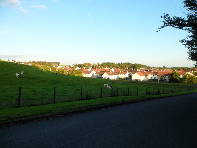
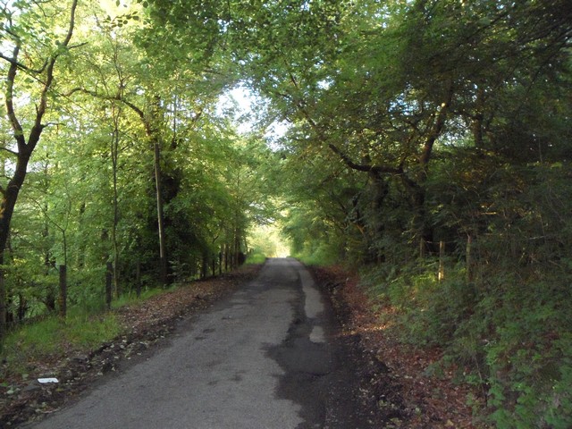
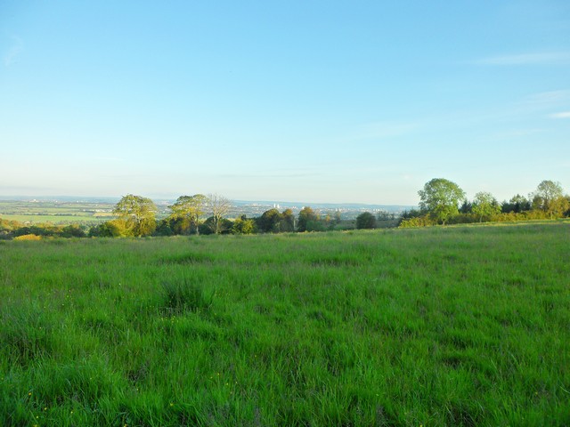
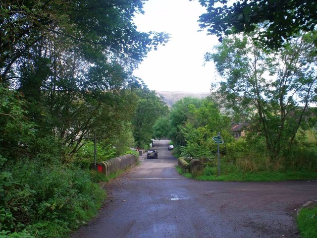
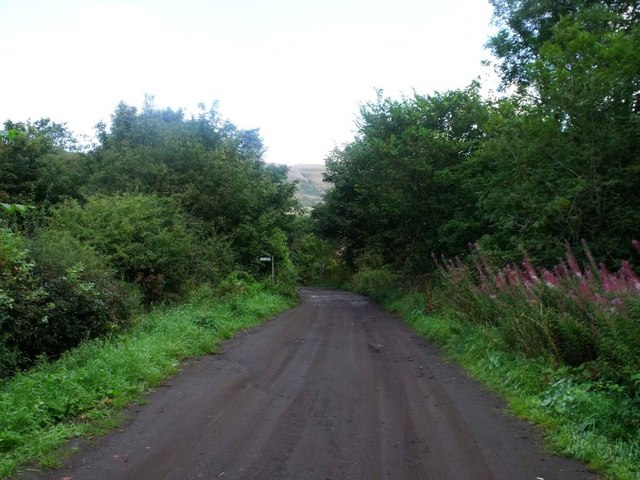
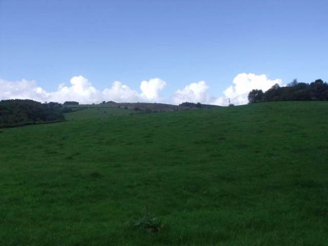
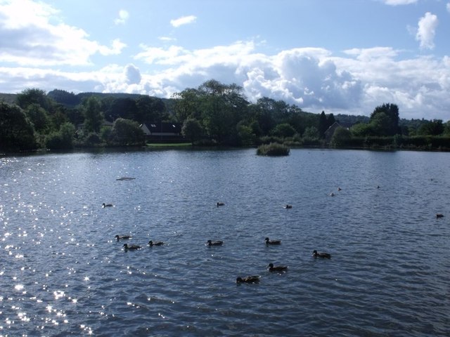
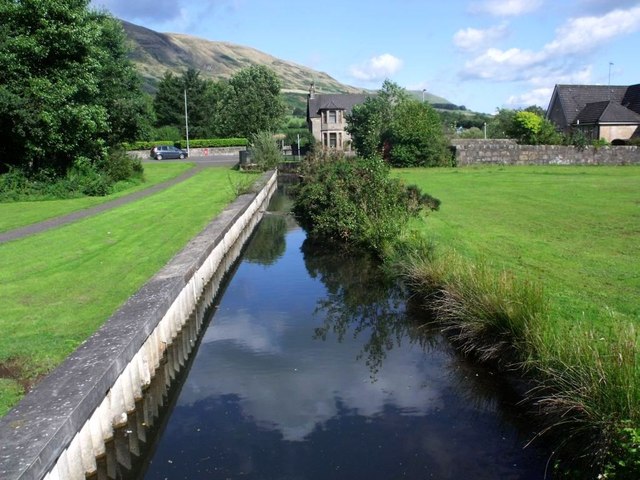
Drum Plantation is a picturesque woodland located in Stirlingshire, Scotland. Nestled amidst the stunning landscape of the Scottish countryside, the plantation covers a vast area and is renowned for its diverse range of trees and wildlife.

The woodland is predominantly composed of native species, including oak, birch, and Scots pine, which have grown over the years to create a dense canopy. This not only provides a serene and tranquil atmosphere but also offers a habitat for a wide variety of flora and fauna.

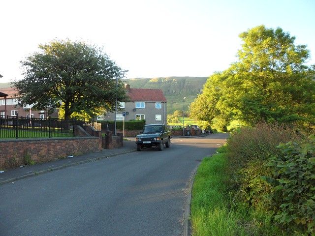
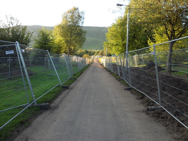
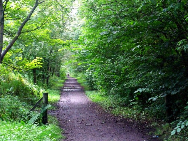
Visitors to Drum Plantation can enjoy a network of well-maintained trails that wind through the woodland, allowing them to explore the plantation at their own pace. These trails offer magnificent views of the surrounding countryside and provide an opportunity to immerse oneself in nature's beauty.

The woodland is a haven for wildlife enthusiasts, as it is home to a plethora of species. Birdwatchers can spot a range of feathered friends, including woodland birds such as woodpeckers and owls. Deer, foxes, and squirrels are also commonly seen throughout the plantation, adding to its natural charm.

In addition to its natural beauty, Drum Plantation offers recreational activities such as picnicking and nature photography. The idyllic surroundings make it an ideal spot for families and individuals looking to escape the hustle and bustle of everyday life.

Overall, Drum Plantation in Stirlingshire is a captivating woodland that offers a peaceful retreat for nature lovers. With its diverse range of trees, abundant wildlife, and picturesque trails, it is a place where visitors can connect with nature and experience the tranquility of the Scottish countryside.

If you have any feedback on the listing, please let us know in the comments section below.

Drum Plantation Images

Images are sourced within 2km of 55.969972/-4.2227469 or Grid Reference NS6177. Thanks to Geograph Open Source API. All images are credited.

North edge of Lennoxtown Seen from North Birbiston Road.
North edge of Lennoxtown
Seen from North Birbiston Road.
Bencloich Crescent, Lennoxtown Stunningly set beneath the Campsie Fells.
Bencloich Crescent, Lennoxtown
Stunningly set beneath the Campsie Fells.
Public path behind Lennoxtown A lot of work going on around here - I think it may be a new housing development.
Public path behind Lennoxtown
A lot of work going on around here - I think it may be a new housing development.
North Birbiston Road, Lennoxtown
Road to Lennoxtown Just east of Muirhead Farm.
Road to Lennoxtown
Just east of Muirhead Farm.
Field west of Muirhead Farm Overlooking Glasgow.
Field west of Muirhead Farm
Overlooking Glasgow.
Approaching Lennoxtown on the B822 From the south.
Approaching Lennoxtown on the B822
From the south.
South Gate Lodge, Lennox Castle Hospital
Looking northeast from track to Lennox Castle A splendid view over Celtic F.C.'s training facility and beyond.
Looking northeast from track to Lennox Castle
A splendid view over Celtic F.C.'s training facility and beyond.
Lennox Castle Hospital (ruin) The picture was taken from a stairway which takes you down to what
was once a bowling green. The green is now heavily overgrown but the
benches and square enclosure wall are still there to be seen. 

The hospital itself is in a ruinous state and looks as though it 
could collapse at any time.
Lennox Castle Hospital (ruin)
The picture was taken from a stairway which takes you down to what was once a bowling green. The green is now heavily overgrown but the benches and square enclosure wall are still there to be seen. The hospital itself is in a ruinous state and looks as though it could collapse at any time.
Lennoxtown, Glazert Water
Lennoxtown, path to Milton of Campsie Follows the old track of the LNER railway which connected Kirkintilloch with the near north.
Lennoxtown, path to Milton of Campsie
Follows the old track of the LNER railway which connected Kirkintilloch with the near north.
Lennoxtown, road, paths and bridge The path from Strathblane to Kirkintilloch crosses the scene and the bridge over the Glazert leads into the town via Chestnut Walk seen in the distance.
Lennoxtown, road, paths and bridge
The path from Strathblane to Kirkintilloch crosses the scene and the bridge over the Glazert leads into the town via Chestnut Walk seen in the distance.
Lennoxtown, road from Finniescroft Wood
Lennoxtown, South Brae View towards the South Brae area.
Lennoxtown, South Brae
View towards the South Brae area.
Lennoxtown, Crosshill Street A George VI letter box for the Geograph collection of such things.
Lennoxtown, Crosshill Street
A George VI letter box for the Geograph collection of such things.
Lennoxtown, Whitefield Dam Dug out and formed in the early nineteenth century to store water for the Lennox Mill Printworks. 
The pond is fed from a series of drains coming off the Campsies which eventually are channelled into a small canal which enters the pond from the north. The overflow leaves by a weir situated at the north east corner.
Lennoxtown, Whitefield Dam
Dug out and formed in the early nineteenth century to store water for the Lennox Mill Printworks. The pond is fed from a series of drains coming off the Campsies which eventually are channelled into a small canal which enters the pond from the north. The overflow leaves by a weir situated at the north east corner.
Lennoxtown, Whitefield Dam The inflow canal that supplies the levels for the pond. See also <a href="https://www.geograph.org.uk/photo/2592172">NS6278 : Lennoxtown, Whitefield Dam</a>
Lennoxtown, Whitefield Dam
The inflow canal that supplies the levels for the pond. See also NS6278 : Lennoxtown, Whitefield Dam
Show me another place!

Drum Plantation is located at Grid Ref: NS6177 (Lat: 55.969972, Lng: -4.2227469)

Unitary Authority: East Dunbartonshire

Police Authority: Greater Glasgow

What 3 Words

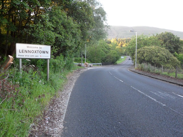
///bind.nutrients.crouches. Near Lennoxtown, East Dunbartonshire

Related Wikis

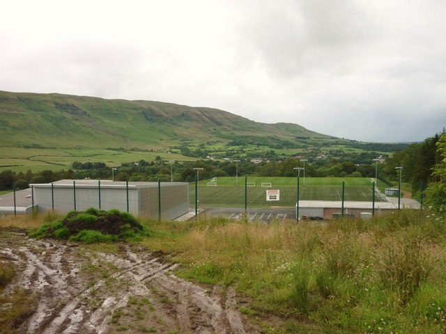
Lennoxtown training centre

Lennoxtown Training Centre is Celtic F.C.'s training centre, located at Lennoxtown, East Dunbartonshire in Scotland. The complex houses the club's training...

East Dunbartonshire (UK Parliament constituency)

East Dunbartonshire is a county constituency of the House of Commons of the Parliament of the United Kingdom (Westminster). It elects one Member of Parliament...

Lennoxtown

Lennoxtown (Scottish Gaelic: Baile na Leamhnachd, pronounced [ˈpalə nə ˈʎãũnəxk]) is a town in the East Dunbartonshire council area and the historic county...

The Lennox

The Lennox (Scottish Gaelic: Leamhnachd, pronounced [ˈʎãũnəxk]) is a region of Scotland centred on The Vale of Leven, including its great loch: Loch Lomond...
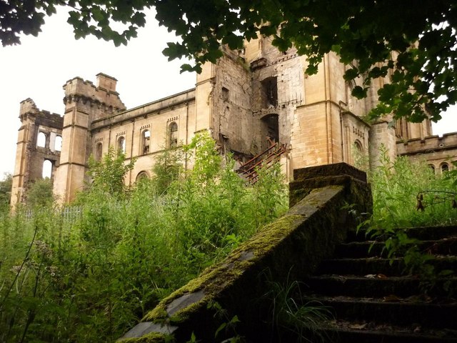
Lennox Castle

Lennox Castle is an abdandoned castle in Lennoxtown, East Dunbartonshire, Scotland, approximately 12 miles (19 kilometres) north of Glasgow. It is infamous...
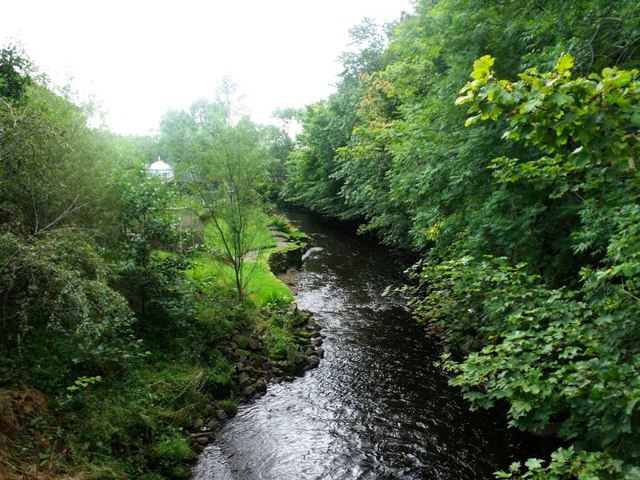
Finglen Burn

The Finglen Burn is a burn in Scotland that runs from north east of the Earl's Seat (the highest point on the Campsie Fells) to just north of Campsie Village...

Campsie Glen railway station

Campsie Glen railway station served the village of Clachan of Campsie, East Dunbartonshire, Scotland from 1867 to 1951 on the Blane Valley Railway; the...

Lennoxtown (New) railway station

Lennoxtown railway station served the town of Lennoxtown, Dunbartonshire, Scotland from 1867 to 1951 on the Blane Valley Railway. == History == The station...

Have you been to Drum Plantation?

Leave your review of Drum Plantation below (or comments, questions and feedback).