Cwm Gafr
Valley in Caernarfonshire
Wales
Cwm Gafr
The requested URL returned error: 429 Too Many Requests
If you have any feedback on the listing, please let us know in the comments section below.
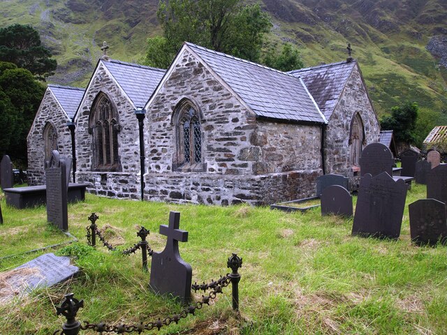
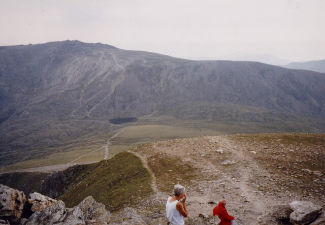
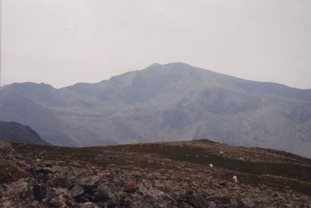
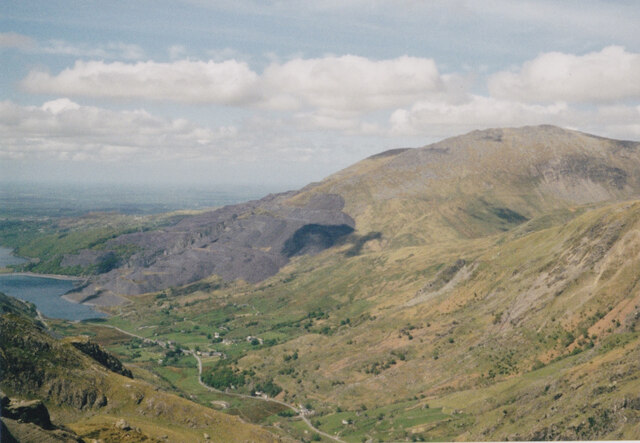
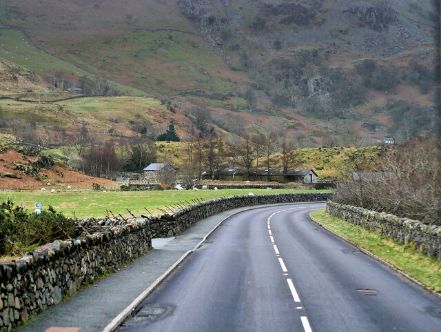
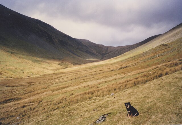
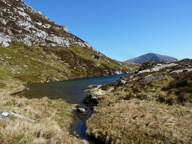
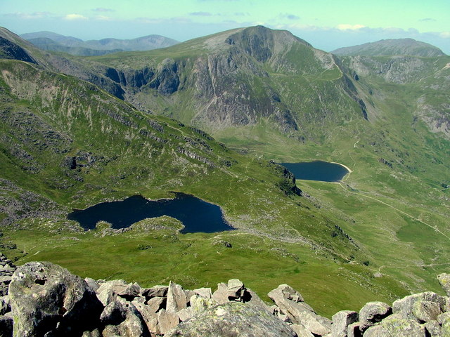
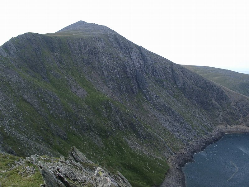
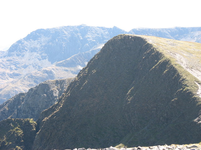
Cwm Gafr Images
Images are sourced within 2km of 53.113668/-4.0690622 or Grid Reference SH6159. Thanks to Geograph Open Source API. All images are credited.


Cwm Gafr is located at Grid Ref: SH6159 (Lat: 53.113668, Lng: -4.0690622)
Unitary Authority: Gwynedd
Police Authority: North Wales
What 3 Words
///unicorns.listed.falters. Near Llanberis, Gwynedd
Nearby Locations
Related Wikis
Y Garn (Glyderau)
Y Garn is a mountain in Snowdonia, North Wales, part of the Glyderau. It is one of the Welsh 3000s — the 15 summits in Wales over 3,000 feet (914.4 metres...
Elidir Fawr
Elidir Fawr is a mountain in Snowdonia, north Wales, the northernmost peak in the Glyderau. Its name means 'Big Elidir', named after a legendary warrior...
Foel-goch
Foel-goch is a mountain in Snowdonia, north-west Wales, and forms part of the Glyderau range, in Gwynedd. It lies in between Y Garn and Mynydd Perfedd...

Devil's Appendix
The Devil's Appendix (Welsh: Nant Clogwyn y Geifr) is the tallest single-drop waterfall in Wales and one of the tallest in the United Kingdom. It is a...
Nearby Amenities
Located within 500m of 53.113668,-4.0690622Have you been to Cwm Gafr?
Leave your review of Cwm Gafr below (or comments, questions and feedback).