Birnieknowe Glen

Valley in Ayrshire

Scotland

Birnieknowe Glen

The Boswell Quill At Auchinleck Old Churchyard, sculpted by Harry Gray.
The Boswell Quill Credit: Billy McCrorie

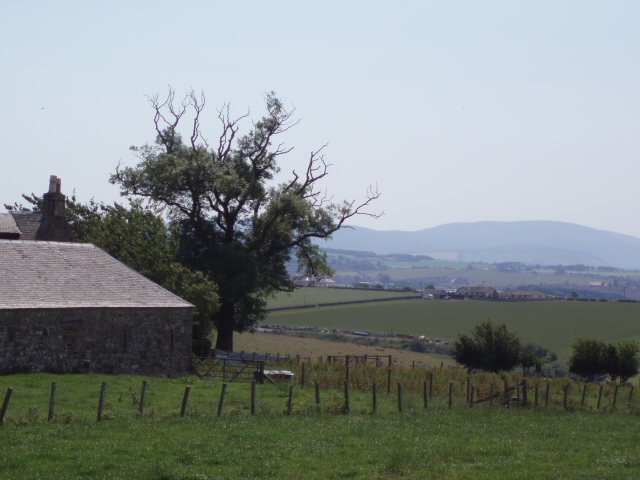
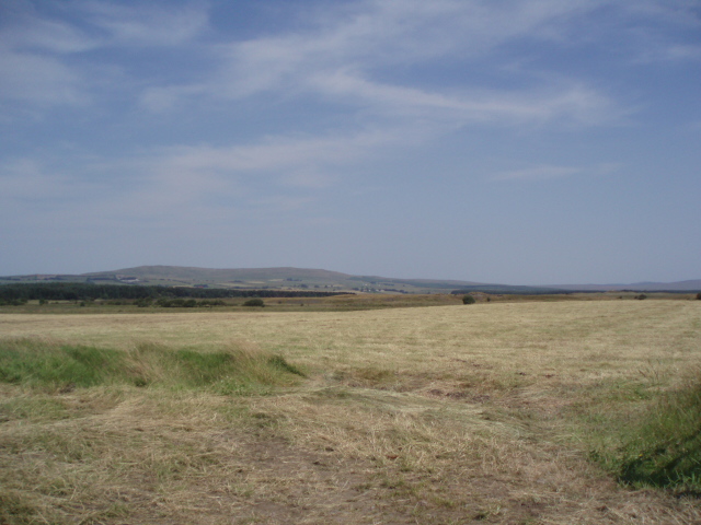
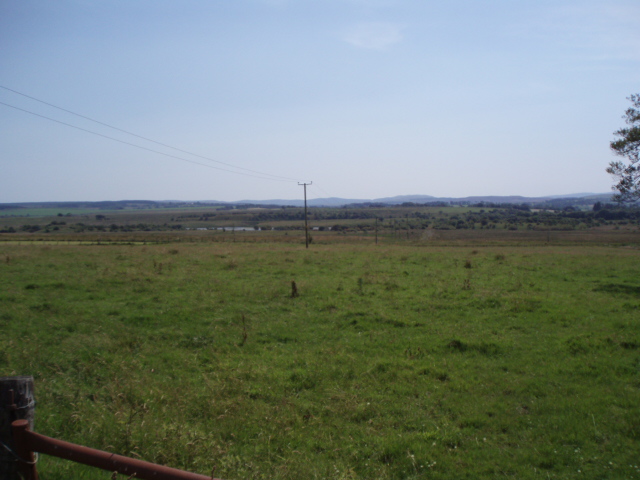
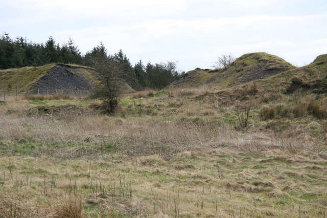
Birnieknowe Glen is a picturesque valley located in Ayrshire, Scotland. Nestled amidst rolling hills and verdant landscapes, this glen offers a natural sanctuary for visitors seeking tranquility and scenic beauty. The glen is situated near the small village of Dalrymple, just a short distance from the larger town of Ayr.

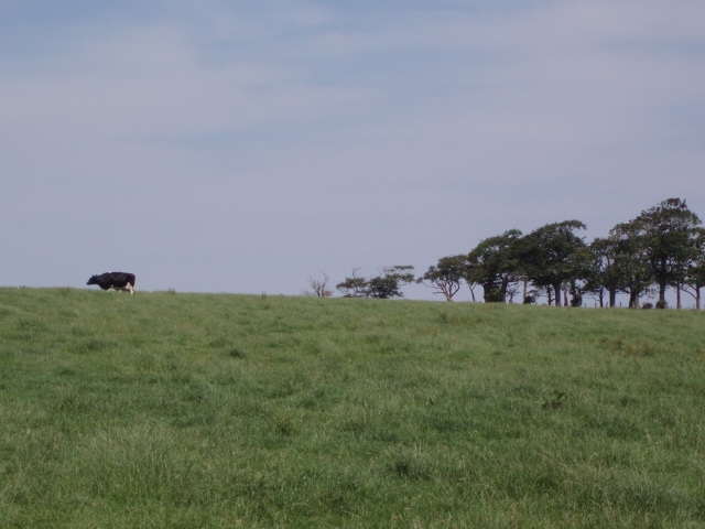
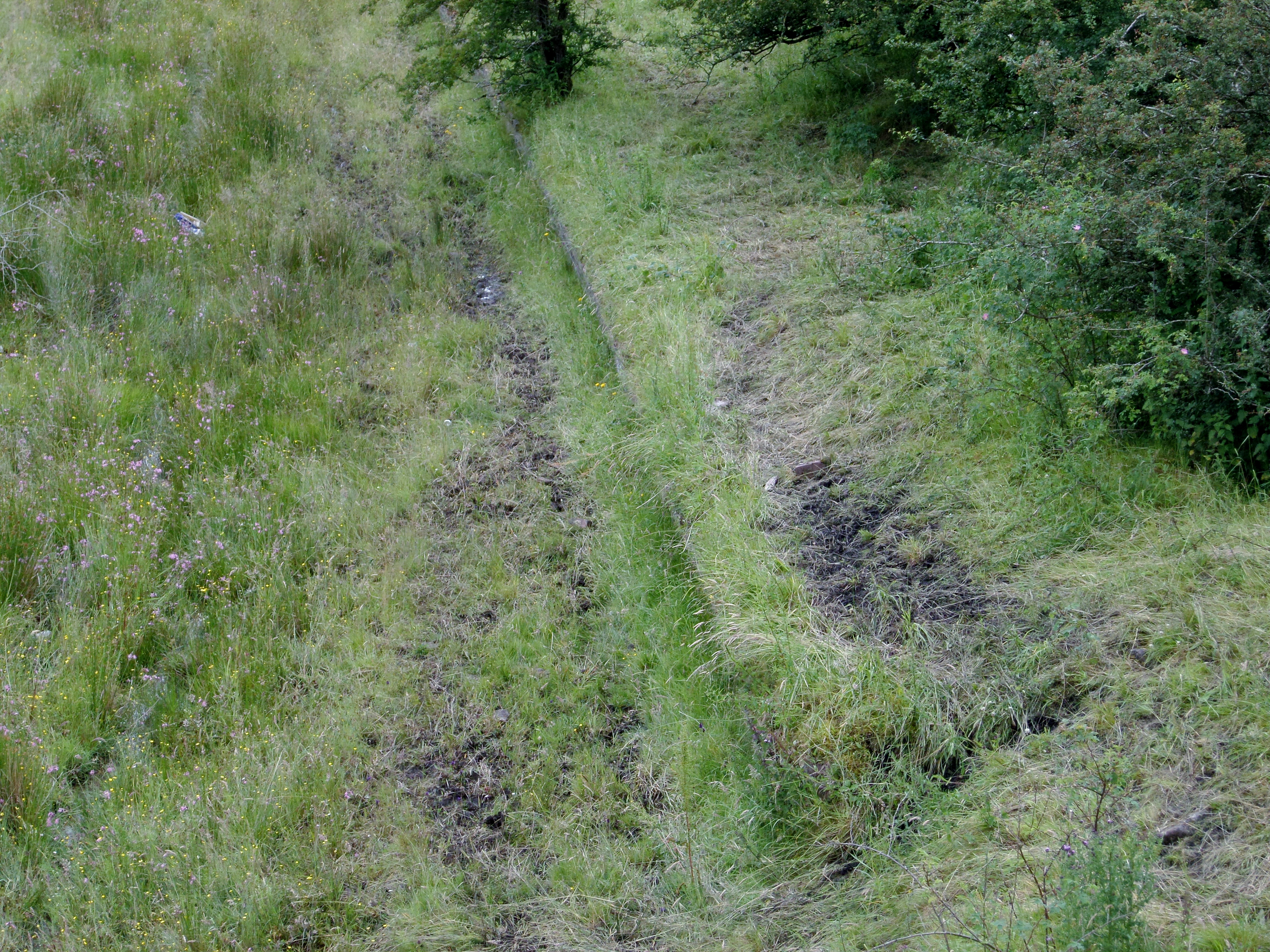
The glen is renowned for its diverse flora and fauna, making it a haven for nature enthusiasts and wildlife lovers. The area is characterized by lush woodlands, meandering streams, and open fields, providing a rich habitat for a variety of species. Visitors can expect to encounter a multitude of bird species, including woodpeckers, owls, and various songbirds. Additionally, the glen is home to numerous mammals, such as red squirrels, foxes, and badgers, which can often be spotted during a leisurely stroll along the glen's well-maintained paths.

For those interested in history, Birnieknowe Glen also boasts several archaeological sites. Ancient ruins and standing stones can be found scattered throughout the glen, offering a glimpse into the area's past. These historical remnants provide a fascinating insight into the lives of our ancestors and add an element of intrigue to the glen's natural beauty.

Birnieknowe Glen is a popular destination for outdoor activities such as hiking, picnicking, and photography. Its peaceful ambiance and breathtaking scenery make it an ideal spot for relaxation and rejuvenation. Whether exploring the glen's captivating wildlife, immersing oneself in its rich history, or simply enjoying the serenity of nature, Birnieknowe Glen is a must-visit for anyone seeking an authentic Scottish experience.

If you have any feedback on the listing, please let us know in the comments section below.

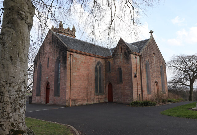
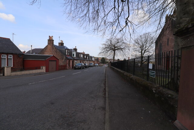
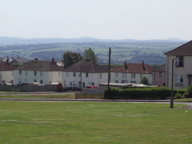
Birnieknowe Glen Images

Images are sourced within 2km of 55.47185/-4.262735 or Grid Reference NS5722. Thanks to Geograph Open Source API. All images are credited.

The Boswell Quill At Auchinleck Old Churchyard, sculpted by Harry Gray.
The Boswell Quill
At Auchinleck Old Churchyard, sculpted by Harry Gray.
The Boswell Quill At Auchinleck Parish Church. Quill sculpted by Harry Gray.
The Boswell Quill
At Auchinleck Parish Church. Quill sculpted by Harry Gray.
The Boswell Quill At Auchinleck Old Churchyard, sculpted by Harry Gray.
The Boswell Quill
At Auchinleck Old Churchyard, sculpted by Harry Gray.
The Boswell Quill Sculpted by Harry Gray and is in Auchinleck Old Churchyard.
The Boswell Quill
Sculpted by Harry Gray and is in Auchinleck Old Churchyard.
War Memorial, Auchinleck In the old Churchyard.
War Memorial, Auchinleck
In the old Churchyard.
War Memorial, Auchinleck In the Old Churchyard.
War Memorial, Auchinleck
In the Old Churchyard.
Auchinleck Parish Church
War Memorial and The Boswell Quill At Auchinleck Old Churchyard. Quill sculpted by Harry Gray.
War Memorial and The Boswell Quill
At Auchinleck Old Churchyard. Quill sculpted by Harry Gray.
Auchinleck Parish Church Also known as Barony Church.
Auchinleck Parish Church
Also known as Barony Church.
Church Hill, Auchinleck Leading down to Main Street.
Church Hill, Auchinleck
Leading down to Main Street.
Beechwood Park, Auchinleck. Football ground Beechwood Park. Home of Auchinleck Talbot FC
Beechwood Park, Auchinleck. Football ground
Beechwood Park. Home of Auchinleck Talbot FC
Auchinleck Council housing in Auchinleck to the east of the B705
Auchinleck
Council housing in Auchinleck to the east of the B705
Lonely cow Fields just outside of Auchinleck
Lonely cow
Fields just outside of Auchinleck
Fore Rogerton Looking across to the Afton hills
Fore Rogerton
Looking across to the Afton hills
Airds Moss There are former mine workings are here
Airds Moss
There are former mine workings are here
Common Fields at Common. Looking south.
Common
Fields at Common. Looking south.
Cumnock Housing on the A70 in Cumnock
Cumnock
Housing on the A70 in Cumnock
Waste bings Remains of the old coal mining industry near Glenshamrock Farm. The brick foundations of some of the mine buildings can still be found to the right of this location. Glenshamrock farm lies to the south west. Away from the mounds of industrial waste, there is improved grassland grazed at this time by sheep.
Waste bings
Remains of the old coal mining industry near Glenshamrock Farm. The brick foundations of some of the mine buildings can still be found to the right of this location. Glenshamrock farm lies to the south west. Away from the mounds of industrial waste, there is improved grassland grazed at this time by sheep.
Show me another place!

Birnieknowe Glen is located at Grid Ref: NS5722 (Lat: 55.47185, Lng: -4.262735)

Unitary Authority: East Ayrshire

Police Authority: Ayrshire

What 3 Words

///starfish.ticket.became. Near Cumnock, East Ayrshire

Related Wikis

Commondyke railway station

Commondyke railway station was a railway station on the Muirkirk branch that served the mining village, farms and community of Commondyke and Birnieknowe...

Woodroad Viaduct

The Woodroad Viaduct, also known as Bank Viaduct or Templand Viaduct, is a viaduct carrying the Glasgow South Western Line over the Lugar Water at Cumnock...

Knockroon

Knockroon is a planned development located between the towns of Cumnock and Auchinleck in East Ayrshire, Scotland. The development was initiated by Prince...

Back Rogerton

Back Rogerton was built in the post-World War II housing boom. It is a part of Auchinleck, East Ayrshire, Scotland. The area was bounded by the disused...

Nearby Amenities

Located within 500m of 55.47185,-4.262735
Place: farm
Lat/Long: 55.4677728/-4.2598516
Power: pole
Lat/Long: 55.4744969/-4.257343
Power: pole
Lat/Long: 55.4742238/-4.258793
Power: pole
Lat/Long: 55.4739315/-4.2602633
Power: pole
Lat/Long: 55.4736546/-4.2617178
Power: pole
Lat/Long: 55.4734238/-4.2631519
Power: pole
Lat/Long: 55.4731982/-4.2646177
Power: pole
Lat/Long: 55.4729918/-4.2660065
Power: pole
Lat/Long: 55.4728853/-4.2665743
Power: pole
Lat/Long: 55.4727058/-4.2675289
Power: pole
Lat/Long: 55.4724251/-4.2689765
Power: pole
Lat/Long: 55.4721404/-4.2704468
Power: pole
Lat/Long: 55.4736136/-4.2562595
Power: pole
Lat/Long: 55.4757526/-4.266175
Power: pole
Lat/Long: 55.4750886/-4.2652024
Power: pole
Lat/Long: 55.4746219/-4.2640691
Power: pole
Lat/Long: 55.4741424/-4.2628951
The data included in this document is from www.openstreetmap.org. The data is made available under ODbL.

Have you been to Birnieknowe Glen?

Leave your review of Birnieknowe Glen below (or comments, questions and feedback).