Stank Glen

Valley in Perthshire

Scotland

Stank Glen

The Cabin at Loch Lubnaig Within the Loch Lomond and The Trossachs National Park.
The Cabin at Loch Lubnaig Credit: Andrew Abbott

The requested URL returned error: 429 Too Many Requests

If you have any feedback on the listing, please let us know in the comments section below.
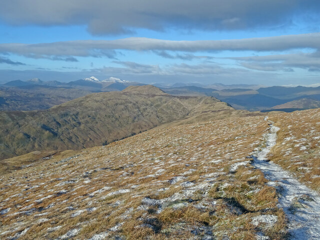
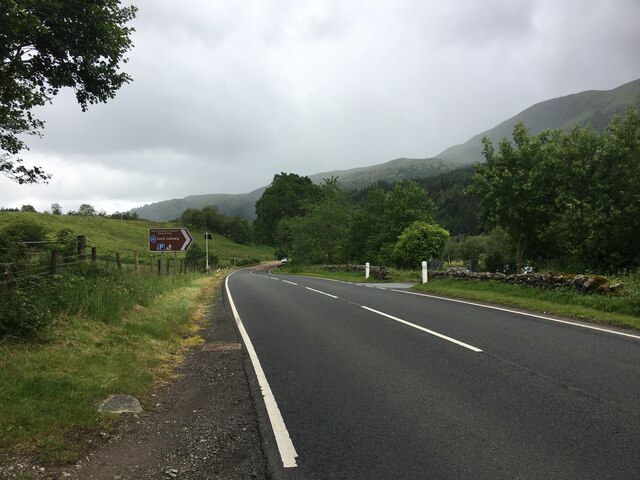
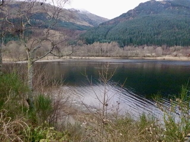
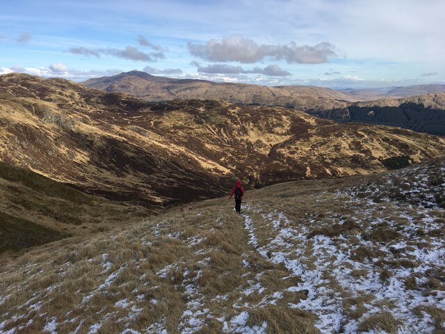
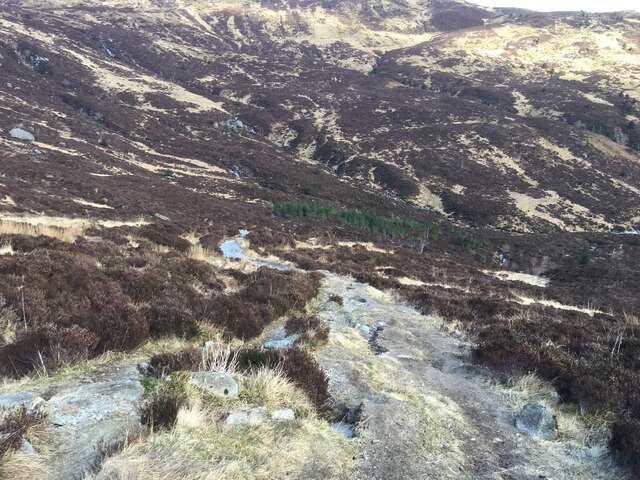
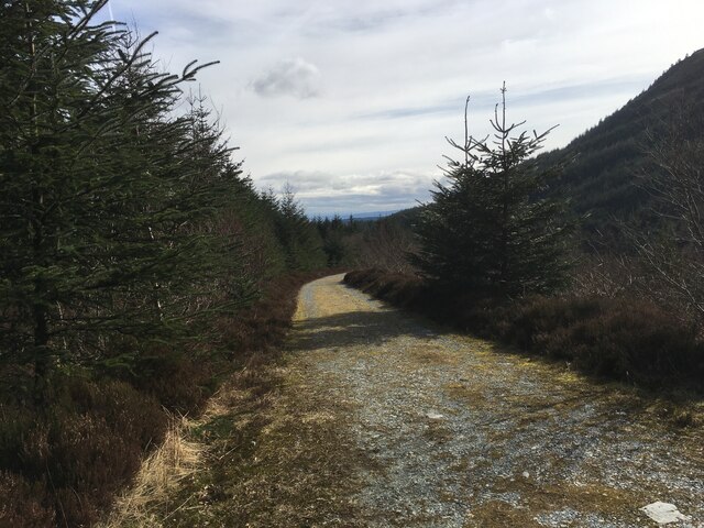
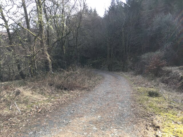
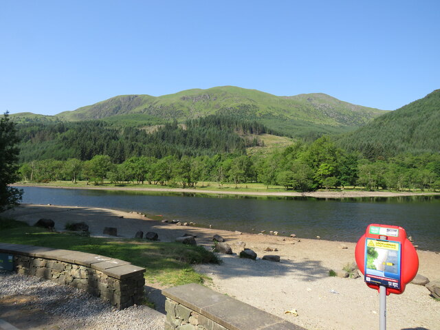
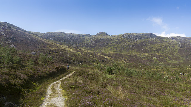
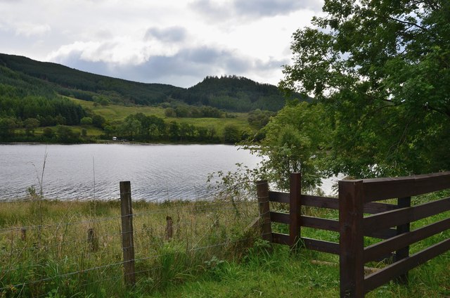
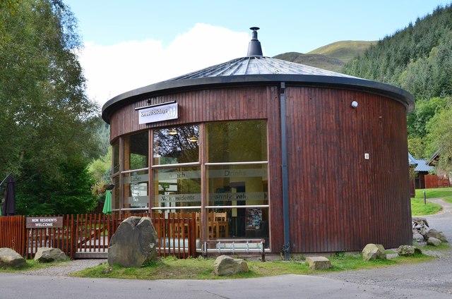
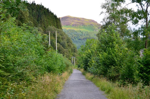
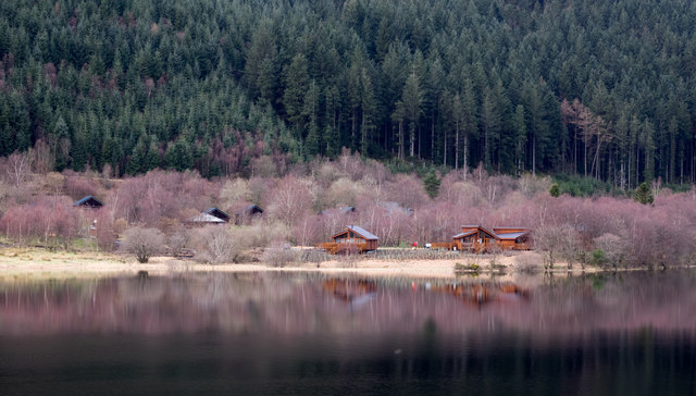
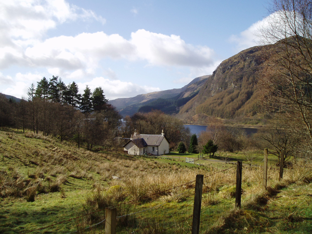
Stank Glen Images

Images are sourced within 2km of 56.268677/-4.3099616 or Grid Reference NN5710. Thanks to Geograph Open Source API. All images are credited.

The Cabin at Loch Lubnaig Within the Loch Lomond and The Trossachs National Park.
The Cabin at Loch Lubnaig
Within the Loch Lomond and The Trossachs National Park.
Loch Lubnaig From the visitor centre.
Loch Lubnaig
From the visitor centre.
Above Bealach nan Corp On Ben Ledi's north west ridge above the pass of the dead, presumably the route of an old coffin road. The snowy hills in the distance are Stob Binnean and Ben More with Benvane just below and to their right. A lovely day to be out on the hills.
Above Bealach nan Corp
On Ben Ledi's north west ridge above the pass of the dead, presumably the route of an old coffin road. The snowy hills in the distance are Stob Binnean and Ben More with Benvane just below and to their right. A lovely day to be out on the hills.
A84 near Loch Lubnaig
Loch Lubnaig
Loch Lubnaig
Northern slopes of Ben Ledi
Old fence line on Ben Ledi
Path towards Stank Glen
Path into Stank Glen
Forestry road in Stank Glen
A84 along Loch Lubnaig
Loch Lubnaig Driving north from Callander to enter serious mountain country.
Loch Lubnaig
Driving north from Callander to enter serious mountain country.
Path in the Stank Glen A path crossing moorland and forestry in the Stank Glen.
Path in the Stank Glen
A path crossing moorland and forestry in the Stank Glen.
Southern end of Loch Lubnaig Seen from the Rob Roy Way on the Strathyre cyclepath.
Southern end of Loch Lubnaig
Seen from the Rob Roy Way on the Strathyre cyclepath.
Café at Strathyre Forest Cabins A convenient stop for refreshment on the Callander to Strathyre cycleway.
Café at Strathyre Forest Cabins
A convenient stop for refreshment on the Callander to Strathyre cycleway.
Cyclepath to Strathyre The old railway route is now National Cycle Network route 7 and the Rob Roy Way. The hillside ahead is on the other side of Loch Lubnaig, which bends to the NW about 2km away.
Cyclepath to Strathyre
The old railway route is now National Cycle Network route 7 and the Rob Roy Way. The hillside ahead is on the other side of Loch Lubnaig, which bends to the NW about 2km away.
Wooden chalets on west side of Loch Lubnaig The chalet park is seen across the loch from a car park on the east side, beside the A84. The pink-tinged trees will be birch trees not yet in leaf.
Wooden chalets on west side of Loch Lubnaig
The chalet park is seen across the loch from a car park on the east side, beside the A84. The pink-tinged trees will be birch trees not yet in leaf.
Show me another place!

Stank Glen is located at Grid Ref: NN5710 (Lat: 56.268677, Lng: -4.3099616)

Unitary Authority: Stirling

Police Authority: Forth Valley

What 3 Words

///bathtubs.period.improvise. Near Callander, Stirling

Nearby Locations

Stank Glen

Related Wikis

Ben Ledi

Ben Ledi (Beinn Leitir in Scottish Gaelic) is a mountain in Stirling, Scotland. It is 879 metres (2,884 feet) high, and is therefore classified as a Corbett...

Loch Lubnaig

Loch Lubnaig (Scottish Gaelic: Loch Lùbnaig) is a small freshwater loch near Callander in the Stirling council area, Scottish Highlands. It lies in the...

Falls of Leny

The Falls of Leny are a series of waterfalls in the Trossachs of Scotland on the course of the Garbh Uisge, otherwise known as the River Leny, where the...

Ardchullarie More

Ardchullarie More is a small hamlet in the Stirling council area, Scotland and is situated on the eastern side of Loch Lubnaig. == External links == Scottish...

Nearby Amenities

Located within 500m of 56.268677,-4.3099616
Ford: yes
Lat/Long: 56.265635/-4.304722
Ford: yes
Lat/Long: 56.2710349/-4.3153999
The data included in this document is from www.openstreetmap.org. The data is made available under ODbL.

Have you been to Stank Glen?

Leave your review of Stank Glen below (or comments, questions and feedback).