Birnieknowe

Settlement in Ayrshire

Scotland

Birnieknowe

Beechwood Park, Auchinleck. Football ground Beechwood Park. Home of Auchinleck Talbot FC
Beechwood Park, Auchinleck. Football ground Credit: paul c

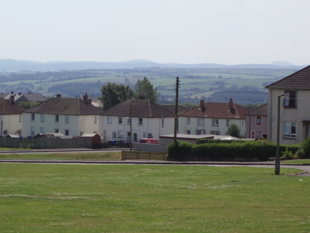
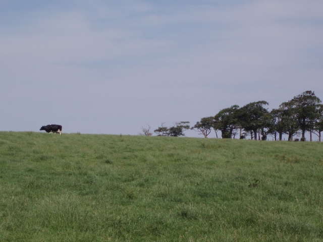
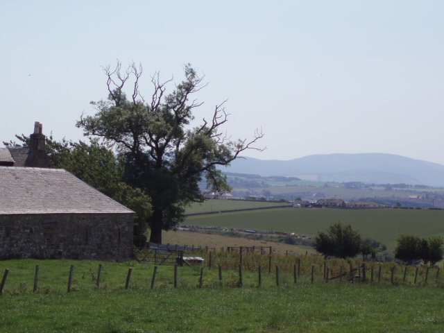
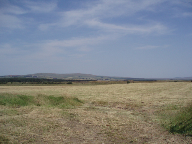
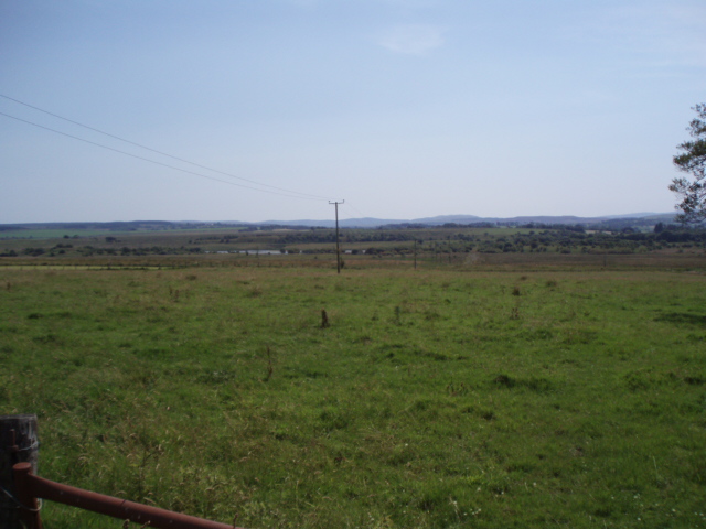
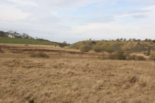
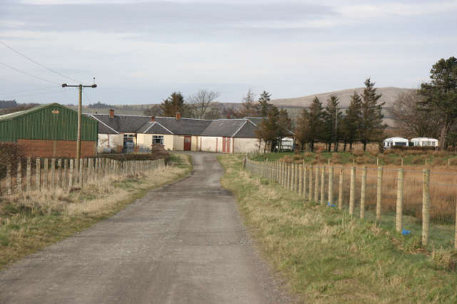
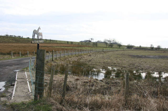
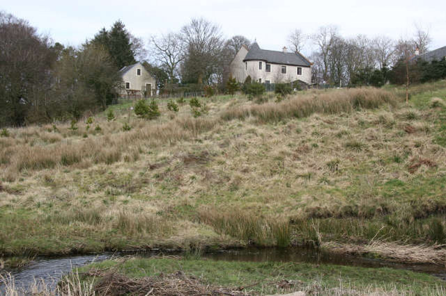
Birnieknowe is a small village located in Ayrshire, a historical county in southwestern Scotland. Situated just a few miles north of the town of Kilmarnock, Birnieknowe is known for its peaceful rural setting and picturesque landscapes. The village is nestled amidst rolling hills and green fields, offering residents and visitors a charming countryside experience.

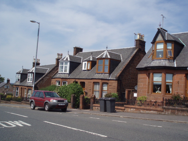
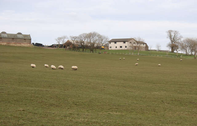
Birnieknowe is primarily a residential area, with a small population of around 200 residents. The village is made up of a cluster of traditional stone houses, many of which have been well-preserved over the years, giving the area a quaint and traditional feel. The village is characterized by its peaceful atmosphere, providing an ideal place for those seeking tranquility and a slower pace of life.

Despite its small size, Birnieknowe boasts a strong sense of community spirit. The village has a close-knit community, and residents often come together for various events and activities. The nearby countryside offers ample opportunities for outdoor pursuits, such as hiking, cycling, and fishing, attracting nature enthusiasts and outdoor lovers.

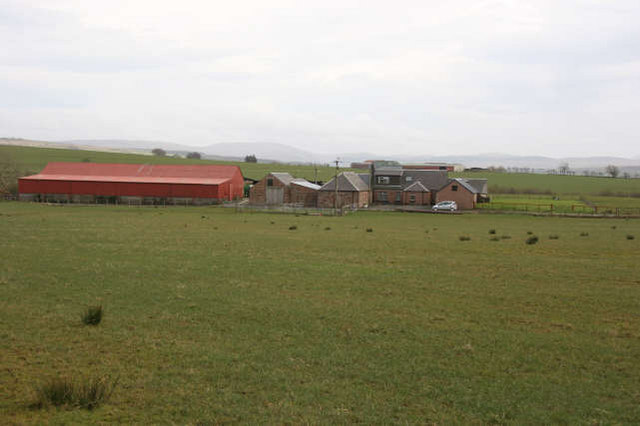
While Birnieknowe itself may not have many amenities, the village benefits from its proximity to Kilmarnock, where residents can access a wider range of services, including shops, schools, healthcare facilities, and recreational activities. The village also enjoys good transportation links, with regular bus services connecting it to neighboring towns and cities.

In conclusion, Birnieknowe is a quiet and charming village in Ayrshire, offering a peaceful and rural lifestyle to its residents. With its picturesque surroundings and strong community spirit, Birnieknowe is an idyllic place for those seeking a slower pace of life amidst natural beauty.

If you have any feedback on the listing, please let us know in the comments section below.
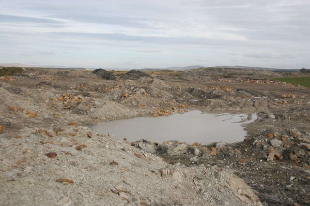
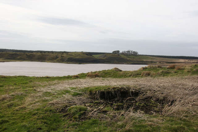
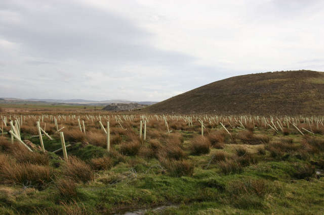
Birnieknowe Images

Images are sourced within 2km of 55.473501/-4.2614371 or Grid Reference NS5722. Thanks to Geograph Open Source API. All images are credited.

Beechwood Park, Auchinleck. Football ground Beechwood Park. Home of Auchinleck Talbot FC
Beechwood Park, Auchinleck. Football ground
Beechwood Park. Home of Auchinleck Talbot FC
Auchinleck Council housing in Auchinleck to the east of the B705
Auchinleck
Council housing in Auchinleck to the east of the B705
Lonely cow Fields just outside of Auchinleck
Lonely cow
Fields just outside of Auchinleck
Fore Rogerton Looking across to the Afton hills
Fore Rogerton
Looking across to the Afton hills
Airds Moss There are former mine workings are here
Airds Moss
There are former mine workings are here
Common Fields at Common. Looking south.
Common
Fields at Common. Looking south.
Cumnock Housing on the A70 in Cumnock
Cumnock
Housing on the A70 in Cumnock
Waste bings Remains of the old coal mining industry near Glenshamrock Farm. The brick foundations of some of the mine buildings can still be found to the right of this location. Glenshamrock farm lies to the south west. Away from the mounds of industrial waste, there is improved grassland grazed at this time by sheep.
Waste bings
Remains of the old coal mining industry near Glenshamrock Farm. The brick foundations of some of the mine buildings can still be found to the right of this location. Glenshamrock farm lies to the south west. Away from the mounds of industrial waste, there is improved grassland grazed at this time by sheep.
Roundshaw Farm The farm is located on an elevated position looking over an area which has been extensively worked for coal both recently and in the past. The farm would appear to have an interest in the rearing of sheep and beef cattle. There is a mixture of improved grassland and scrubby heathland vegetation.
Roundshaw Farm
The farm is located on an elevated position looking over an area which has been extensively worked for coal both recently and in the past. The farm would appear to have an interest in the rearing of sheep and beef cattle. There is a mixture of improved grassland and scrubby heathland vegetation.
Heathland and old coal bing The contrast between the heathland of Airds Moss and the improved grassland around Roundshaw Farm is very evident. The old waste bings, from the former coal mining activity in this area, are gradually becoming covered by poor grasses and shallow rooted trees and bushes.
Heathland and old coal bing
The contrast between the heathland of Airds Moss and the improved grassland around Roundshaw Farm is very evident. The old waste bings, from the former coal mining activity in this area, are gradually becoming covered by poor grasses and shallow rooted trees and bushes.
Opencast remains Recent area of opencast coal working now being used as a dump for waste material from a nearby fireclay pit near the farm of Common (NS5822). Formerly a minor road crossed this area providing a link to the Cronberry road (NS5722). This was destroyed during the opencast operations and so far has not been reinstated. In the past there was a primary school quite close to this location which gives some idea of the size of population once living in this part of Airds Moss.
Opencast remains
Recent area of opencast coal working now being used as a dump for waste material from a nearby fireclay pit near the farm of Common (NS5822). Formerly a minor road crossed this area providing a link to the Cronberry road (NS5722). This was destroyed during the opencast operations and so far has not been reinstated. In the past there was a primary school quite close to this location which gives some idea of the size of population once living in this part of Airds Moss.
Manmade pond This pond has developed in the opencast area recently worked for coal near Darnconner Farm. It has probably developed due to the close proximity of the Dippol Burn which drains south at this point from Airds Moss. The intention seems to be to use this area in the future as a landfill site.
Manmade pond
This pond has developed in the opencast area recently worked for coal near Darnconner Farm. It has probably developed due to the close proximity of the Dippol Burn which drains south at this point from Airds Moss. The intention seems to be to use this area in the future as a landfill site.
Recent Opencast Remains As the coal is removed by opencast methods from a number of areas on Airds Moss, part of the land reinstatement programme is to plant several varieties of deciduous trees. 
In the distance can be seen the fireclay pit which has around two years supply of clay at the present rate of extraction. The mound of overburden to the right will then be used to improve the area shown in Photo No.366318.
Recent Opencast Remains
As the coal is removed by opencast methods from a number of areas on Airds Moss, part of the land reinstatement programme is to plant several varieties of deciduous trees. In the distance can be seen the fireclay pit which has around two years supply of clay at the present rate of extraction. The mound of overburden to the right will then be used to improve the area shown in Photo No.366318.
Darnconner Farm All that now remains of what was a much larger mining village of the same name. To the right of the caravans is a dwelling house which used to be the manse, while behind the farm buildings on the right there used to be the schoolmaster's house.
The main interest on the farm to-day is livestock - sheep and some beef cattle.
Darnconner Farm
All that now remains of what was a much larger mining village of the same name. To the right of the caravans is a dwelling house which used to be the manse, while behind the farm buildings on the right there used to be the schoolmaster's house. The main interest on the farm to-day is livestock - sheep and some beef cattle.
Berryhill Farm Waste bings used to line both sides of the road leading up to the farm. Only small traces of these now remain. The Dippol Burn flows close to the road here which might help to explain the wet area to the right of the entrance. There had been a prolonged spell of heavy rain during march.
Sheep were grazing on the improved grassland near the farm on this particular day. The mainly modern farm buildings can be seen on the skyline.
Berryhill Farm
Waste bings used to line both sides of the road leading up to the farm. Only small traces of these now remain. The Dippol Burn flows close to the road here which might help to explain the wet area to the right of the entrance. There had been a prolonged spell of heavy rain during march. Sheep were grazing on the improved grassland near the farm on this particular day. The mainly modern farm buildings can be seen on the skyline.
Barglachan Farm The very modern two storey building tends to dominate the skyline and almost hides the farm buildings. It is a sheep and beef cattle farm occupying a very exposed position which slopes south east towards the Auchinleck Burn. The farm is also in the middle of an area of past coal mining activity.
Barglachan Farm
The very modern two storey building tends to dominate the skyline and almost hides the farm buildings. It is a sheep and beef cattle farm occupying a very exposed position which slopes south east towards the Auchinleck Burn. The farm is also in the middle of an area of past coal mining activity.
Birnieknowe Farm A sheep and beef cattle farm surrounded by improved grassland. It sits just above the right bank of the Auchinleck Burn. 
Between this farm and Berryhill Farm (<a href="https://www.geograph.org.uk/gridref/NS5622">NS5622</a>) is an area where coal was formerly extracted using shaft mines.
Birnieknowe Farm
A sheep and beef cattle farm surrounded by improved grassland. It sits just above the right bank of the Auchinleck Burn. Between this farm and Berryhill Farm (NS5622) is an area where coal was formerly extracted using shaft mines.
Auchinleck Burn below Lochnoran House A new residential building located on a prominent site above the Auchinleck Burn. Two minor roads fork at this point with one going to Auchinleck (NS5521) or Lugar (NS5821) and the other to Cronberry (NS6022).
In the field opposite Lochnoran House, there is a sandstone cross marking the site where a reverend sister was accidentally killed.
Auchinleck Burn below Lochnoran House
A new residential building located on a prominent site above the Auchinleck Burn. Two minor roads fork at this point with one going to Auchinleck (NS5521) or Lugar (NS5821) and the other to Cronberry (NS6022). In the field opposite Lochnoran House, there is a sandstone cross marking the site where a reverend sister was accidentally killed.
Show me another place!

Birnieknowe is located at Grid Ref: NS5722 (Lat: 55.473501, Lng: -4.2614371)

Unitary Authority: East Ayrshire

Police Authority: Ayrshire

What 3 Words

///daring.kinds.node. Near Auchinleck, East Ayrshire

Related Wikis

Commondyke railway station

Commondyke railway station was a railway station on the Muirkirk branch that served the mining village, farms and community of Commondyke and Birnieknowe...

Woodroad Viaduct

The Woodroad Viaduct, also known as Bank Viaduct or Templand Viaduct, is a viaduct carrying the Glasgow South Western Line over the Lugar Water at Cumnock...

Back Rogerton

Back Rogerton was built in the post-World War II housing boom. It is a part of Auchinleck, East Ayrshire, Scotland. The area was bounded by the disused...

Lugar railway station

Lugar railway station was a railway station serving the Lugar Ironworks, East Ayrshire, Scotland. The station was originally part of the Glasgow, Paisley...

Nearby Amenities

Located within 500m of 55.473501,-4.2614371
Long Row Village
Historic: yes
Lat/Long: 55.4732218/-4.2547447
Power: pole
Lat/Long: 55.4749892/-4.2543368
Power: pole
Lat/Long: 55.4747815/-4.2558908
Power: pole
Lat/Long: 55.4744969/-4.257343
Power: pole
Lat/Long: 55.4742238/-4.258793
Power: pole
Lat/Long: 55.4739315/-4.2602633
Power: pole
Lat/Long: 55.4736546/-4.2617178
Power: pole
Lat/Long: 55.4734238/-4.2631519
Power: pole
Lat/Long: 55.4731982/-4.2646177
Power: pole
Lat/Long: 55.4729918/-4.2660065
Power: pole
Lat/Long: 55.4728853/-4.2665743
Power: pole
Lat/Long: 55.4727058/-4.2675289
Power: pole
Lat/Long: 55.4724251/-4.2689765
Power: pole
Lat/Long: 55.4746392/-4.2546693
Power: pole
Lat/Long: 55.4740251/-4.2556171
Power: pole
Lat/Long: 55.4736136/-4.2562595
Power: pole
Lat/Long: 55.4762847/-4.266969
Power: pole
Lat/Long: 55.4757526/-4.266175
Power: pole
Lat/Long: 55.4750886/-4.2652024
Power: pole
Lat/Long: 55.4746219/-4.2640691
Power: pole
Lat/Long: 55.4741424/-4.2628951
The data included in this document is from www.openstreetmap.org. The data is made available under ODbL.

Have you been to Birnieknowe?

Leave your review of Birnieknowe below (or comments, questions and feedback).