Cwm-trawsnant

Valley in Cardiganshire

Wales

Cwm-trawsnant

Farm driveway south of Llanrhystud in Ceredigion From the B4337, this is the way into the Fantasy Farm Park. <span class="nowrap"><a title="http://www.fantasyfarmpark.co.uk/" rel="nofollow ugc noopener" href="http://www.fantasyfarmpark.co.uk/">Link</a><img style="margin-left:2px;" alt="External link" title="External link - shift click to open in new window" src="https://s1.geograph.org.uk/img/external.png" width="10" height="10"/></span>
Farm driveway south of Llanrhystud in Ceredigion Credit: Roger D Kidd

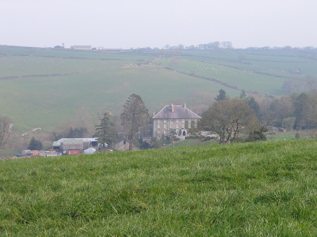
Cwm-trawsnant is a small valley located in the county of Cardiganshire, Wales. Nestled amidst the breathtaking landscape of rural Wales, the valley is known for its stunning natural beauty, lush greenery, and rolling hills. The name "Cwm-trawsnant" translates to "crossing of the brook" in English, which aptly describes the valley's geographical features.

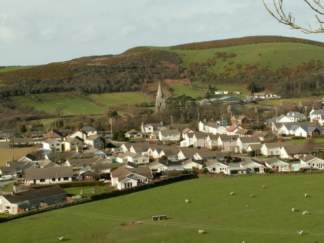
The valley is dotted with traditional Welsh cottages and farmhouses, adding to its charm and rustic appeal. It is home to a close-knit community that takes pride in preserving the area's rich cultural heritage. The locals are known for their warm hospitality and strong connection to the land.

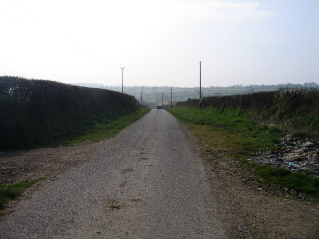
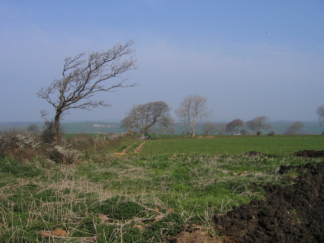
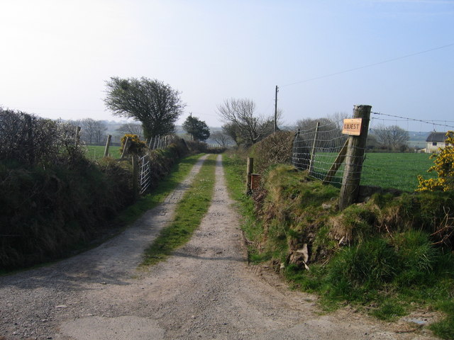
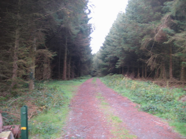
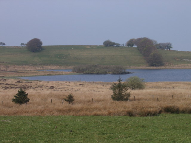
Cwm-trawsnant is an ideal destination for nature enthusiasts and outdoor lovers. The valley offers numerous opportunities for hiking, cycling, and exploring the surrounding hills and woodlands. The area is also home to a variety of wildlife, including birds, rabbits, and occasional sightings of deer.

One of the main attractions in Cwm-trawsnant is the picturesque brook that meanders through the valley, providing a soothing soundtrack to the peaceful surroundings. The brook, along with the nearby waterfalls and cascades, offers a tranquil setting for picnics and relaxation.

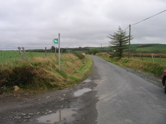
Despite its remote location, Cwm-trawsnant is within easy reach of nearby towns and villages, making it a popular destination for day trips or weekend getaways. Visitors can experience the tranquility and natural beauty of the Welsh countryside while also enjoying the convenience of modern amenities.

In summary, Cwm-trawsnant is a hidden gem in Cardiganshire, offering a glimpse into the unspoiled beauty of rural Wales. With its stunning landscapes, welcoming community, and opportunities for outdoor activities, the valley provides a memorable experience for those seeking a peaceful retreat.

If you have any feedback on the listing, please let us know in the comments section below.

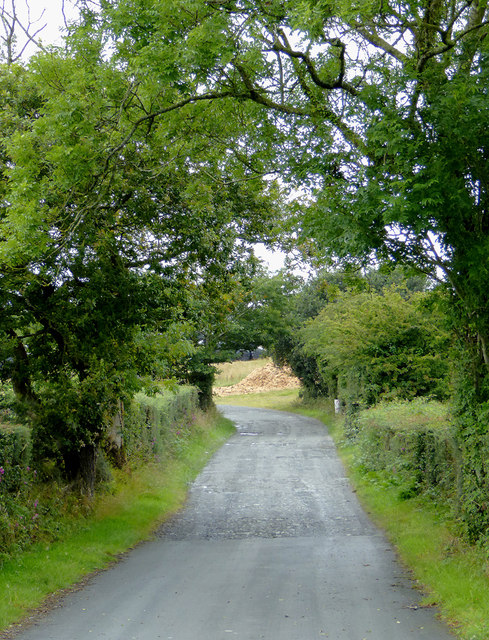
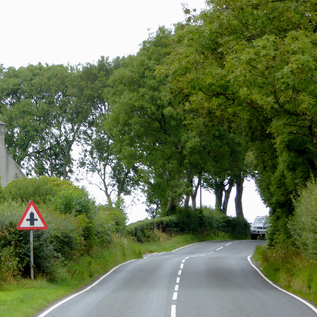
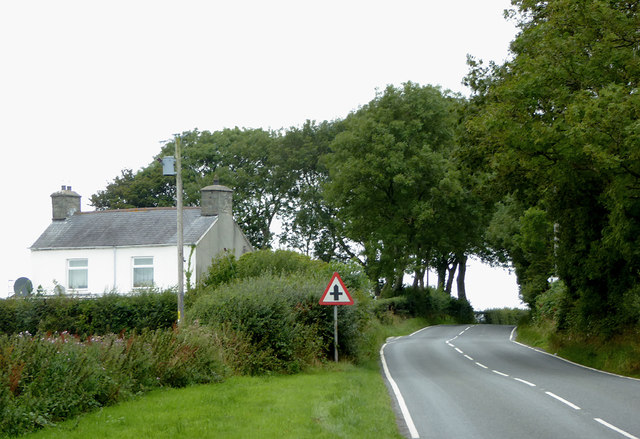
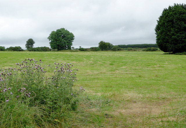
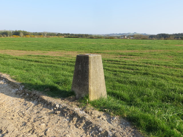
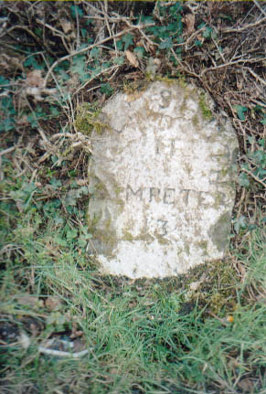
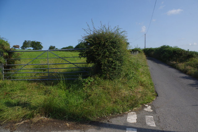
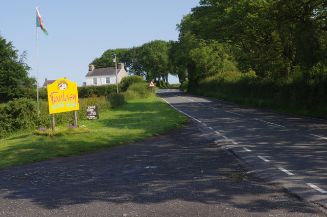
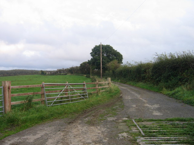
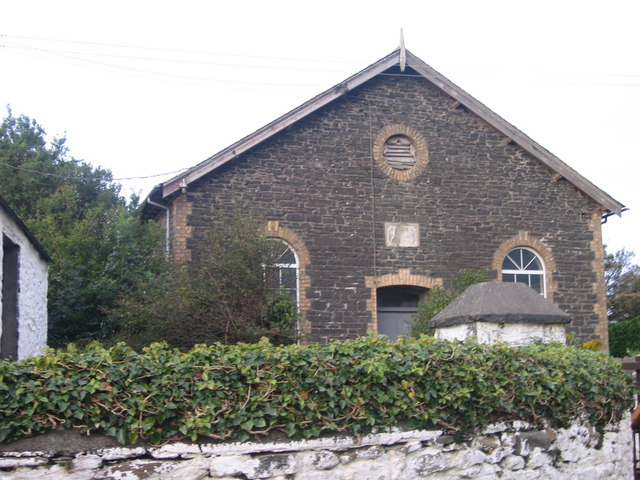
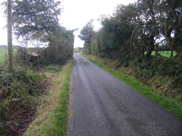
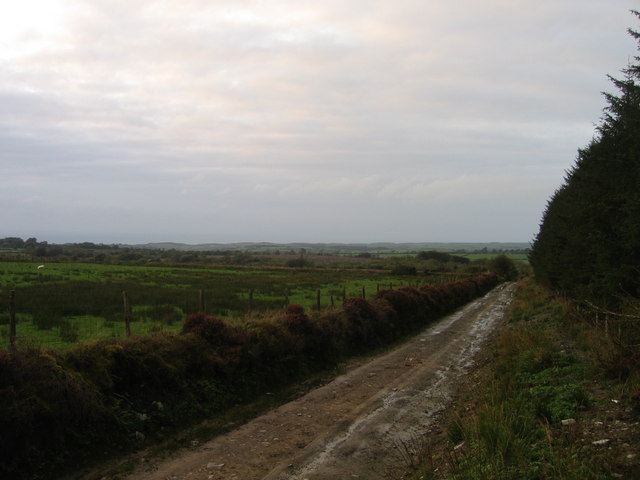
Cwm-trawsnant Images

Images are sourced within 2km of 52.279719/-4.1045873 or Grid Reference SN5666. Thanks to Geograph Open Source API. All images are credited.

Farm driveway south of Llanrhystud in Ceredigion From the B4337, this is the way into the Fantasy Farm Park. <span class="nowrap"><a title="http://www.fantasyfarmpark.co.uk/" rel="nofollow ugc noopener" href="http://www.fantasyfarmpark.co.uk/">Link</a><img style="margin-left:2px;" alt="External link" title="External link - shift click to open in new window" src="https://s1.geograph.org.uk/img/external.png" width="10" height="10"/></span>
Farm driveway south of Llanrhystud in Ceredigion
From the B4337, this is the way into the Fantasy Farm Park. LinkExternal link
The B4337 to Llanrhystud in Ceredigion This is about a mile west of Rhydroser. The B4337 leads from Temple Bar (near Lampeter) to Llanrhystud.
The B4337 to Llanrhystud in Ceredigion
This is about a mile west of Rhydroser. The B4337 leads from Temple Bar (near Lampeter) to Llanrhystud.
The B4337 to Llanrhystud in Ceredigion This is about a mile west of Rhydroser. The B4337 leads from Temple Bar (near Lampeter) to Llanrhystud. Hafod Newydd farm house is on the left.
The B4337 to Llanrhystud in Ceredigion
This is about a mile west of Rhydroser. The B4337 leads from Temple Bar (near Lampeter) to Llanrhystud. Hafod Newydd farm house is on the left.
Pasture north of Nebo, Ceredigion Seen from the B4337 Temple Bar to Llanrhystrud road.
Pasture north of Nebo, Ceredigion
Seen from the B4337 Temple Bar to Llanrhystrud road.
Field view from the track at the Triangulation Pillar near Hafodwnog Ucha Looking south-eastward.
Field view from the track at the Triangulation Pillar near Hafodwnog Ucha
Looking south-eastward.
Old Milestone by the B4337, Llansantffraid parish Aberystwyth tombstone by the B4337, in parish of Llansantffraid (Ceredigion District), South of Hafod Peris.

Inscription reads:-
ABERYSTWYTH
11
LAMPETER
13

To be surveyed

Milestone Society National ID: CRD_AYLP11
Old Milestone by the B4337, Llansantffraid parish
Aberystwyth tombstone by the B4337, in parish of Llansantffraid (Ceredigion District), South of Hafod Peris. Inscription reads:- ABERYSTWYTH 11 LAMPETER 13 To be surveyed Milestone Society National ID: CRD_AYLP11
Lane towards Llanrhystud Two quiet lanes meet here in peaceful countryside south east of Llanrhystud.
Lane towards Llanrhystud
Two quiet lanes meet here in peaceful countryside south east of Llanrhystud.
Entrance to Fantasy Farm Park Access to Fantasy Farm Park, a tourist attraction aimed firmly at children, is here on the B4337 south of Llanrhystud.
Entrance to Fantasy Farm Park
Access to Fantasy Farm Park, a tourist attraction aimed firmly at children, is here on the B4337 south of Llanrhystud.
Mabws Hall Mabws Hall, Ffermdy mawr ger Llangwyryfon / Mabws Hall, Large farmhouse near Llangwyryfon
Mabws Hall
Mabws Hall, Ffermdy mawr ger Llangwyryfon / Mabws Hall, Large farmhouse near Llangwyryfon
Ffordd Fferm ger Rhyd Rosser / Farm road near Rhyd Rosser Ffordd Fferm ger Rhyd Rosser / Farm road near Rhyd Rosser
Ffordd Fferm ger Rhyd Rosser / Farm road near Rhyd Rosser
Tir Amaethyddol ger Llangwyryfon / Farmland near Llangwyryfon Tir Amaethyddol ger Llangwyryfon / Farmland near Llangwyryfon
Tir Amaethyddol ger Llangwyryfon / Farmland near Llangwyryfon
Lluest Ffordd Fferm Lluest/ Lluest farm road
Lluest
Ffordd Fferm Lluest/ Lluest farm road
Ffordd Fferm / Farm Road Ffordd Fferm i Hafodwnog isaf sydd hefyd yn llwybyr cyhoeddus / Farm Road to Hafodwnog isaf which is also a public footpath.
Ffordd Fferm / Farm Road
Ffordd Fferm i Hafodwnog isaf sydd hefyd yn llwybyr cyhoeddus / Farm Road to Hafodwnog isaf which is also a public footpath.
Joppa Capel ym mhentref Joppa / Chapel in Joppa village
Joppa
Capel ym mhentref Joppa / Chapel in Joppa village
Lon wledig ger Joppa / Country lane near Joppa Lon gul ger Joppa / Narrow lane near Joppa.
Lon wledig ger Joppa / Country lane near Joppa
Lon gul ger Joppa / Narrow lane near Joppa.
Ffordd Fforest / Forest Road Caeau a Fforest ger Joppa / Fields and a forest near Joppa
Ffordd Fforest / Forest Road
Caeau a Fforest ger Joppa / Fields and a forest near Joppa
Fforest Conifferaidd / Coniferous Plantation Ffordd yn arwain i mewn Fforest / Track leading into  a forest
Fforest Conifferaidd / Coniferous Plantation
Ffordd yn arwain i mewn Fforest / Track leading into a forest
Llwybyr Ceffyl / Bridleway Llwybyr Ceffyl ar ochr lon gul / Bridleway leading off a narrow lane
Llwybyr Ceffyl / Bridleway
Llwybyr Ceffyl ar ochr lon gul / Bridleway leading off a narrow lane
Show me another place!

Cwm-trawsnant is located at Grid Ref: SN5666 (Lat: 52.279719, Lng: -4.1045873)

Unitary Authority: Ceredigion

Police Authority: Dyfed Powys

What 3 Words

///conducted.dizziness.politics. Near Llanon, Ceredigion

Related Wikis

Trawsnant

Trawsnant is a hamlet in the community of Llanrhystud, Ceredigion, Wales, which is 67.8 miles (109.1 km) from Cardiff and 177.5 miles (285.7 km) from...

Rhyd-Rosser

Rhydroser is a hamlet in the community of Llanrhystud, Ceredigion, Wales, which is 68.5 miles (110.3 km) from Cardiff and 178 miles (286.5 km) from London...

Tŷ-Newydd, Ceredigion

Tŷ-Newydd is a small village in the community of Llanrhystud, Ceredigion, Wales, which is 69.5 miles (111.8 km) from Cardiff and 179.1 miles (288.2 km...

Gaer Penrhôs

Gaer Penrhôs, in Ceredigion, Wales, was a ringwork castle at the summit of a steep hill near the village of Llanrhystud; now all that remains are the outlines...

Bethania, Ceredigion

Bethania is a hamlet in Ceredigion, mid Wales. == Geography == The centre of this dispersed community in the rural heart of the county is at the junction...

Llanrhystud

Llanrhystud is a seaside village and electoral division on the A487 road in the county of Ceredigion, in Wales, 9 miles (14 km) south of Aberystwyth, and...

Llyn Eiddwen

Llyn Eiddwen () is a lake and site of special scientific interest near Trefenter in Ceredigion, Wales. It is the source of the River Aeron. This natural...

Pontrhyd-Saeson

Pontrhyd-Saeson is a hamlet in the community of Dyffryn Arth, Ceredigion, Wales, which is 66.9 miles (107.7 km) from Cardiff and 178.4 miles (287 km)...

Nearby Amenities

Located within 500m of 52.279719,-4.1045873
Post Box
Post Box Design: hovis
Post Box Mounting: wall
Post Box Type: lamp
Ref: SY23 118
Royal Cypher: GR
Royal Cypher Wikidata: Q33102273
Lat/Long: 52.2800877/-4.1014285
Joppa
Place: hamlet
Lat/Long: 52.2801747/-4.101446
Place Of Worship
Lat/Long: 52.2802895/-4.1011832
Outerbounds_Camping
Source: local knowledge
Tourism: camp_site
Lat/Long: 52.2781611/-4.1043546
Telephone
Booth: K6
Covered: booth
Man Made: telephone_box
Old Phone: +44 1974 272547
Lat/Long: 52.2800735/-4.1013963
The data included in this document is from www.openstreetmap.org. The data is made available under ODbL.

Have you been to Cwm-trawsnant?

Leave your review of Cwm-trawsnant below (or comments, questions and feedback).