Joppa

Settlement in Cardiganshire

Wales

Joppa

Field view from the track at the Triangulation Pillar near Hafodwnog Ucha Looking south-eastward.
Field view from the track at the Triangulation Pillar near Hafodwnog Ucha Credit: Peter Wood

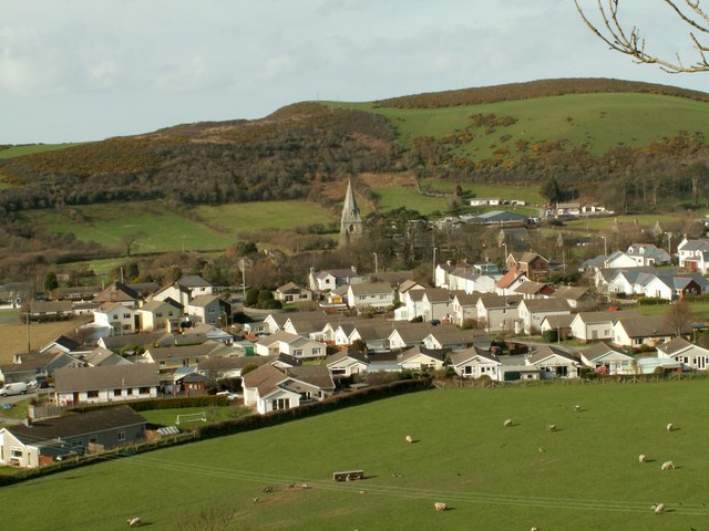
Joppa is a small village located in the county of Cardiganshire, Wales. Situated on the western coast of the country, it is nestled between the towns of Aberystwyth and Aberaeron. With a population of just over 200 residents, Joppa is known for its tranquil and picturesque setting.

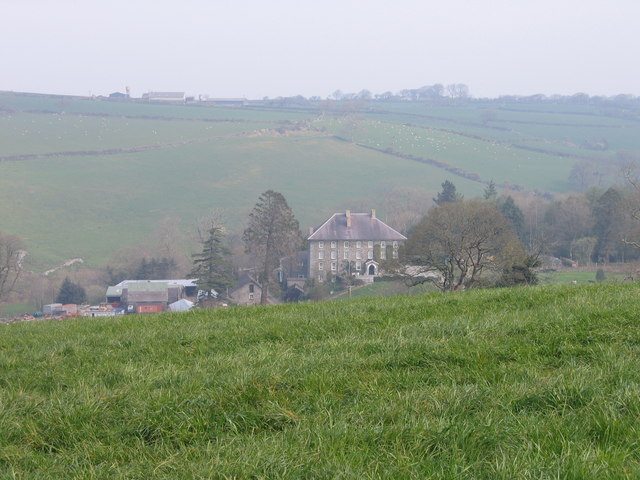
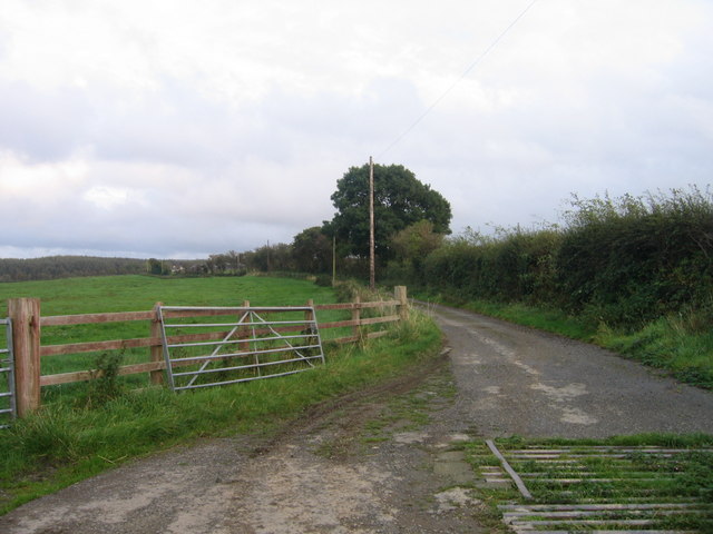
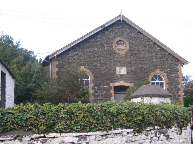
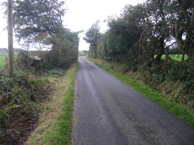
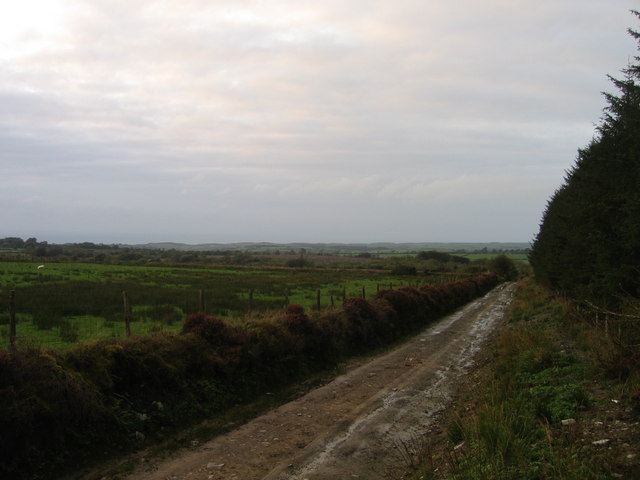
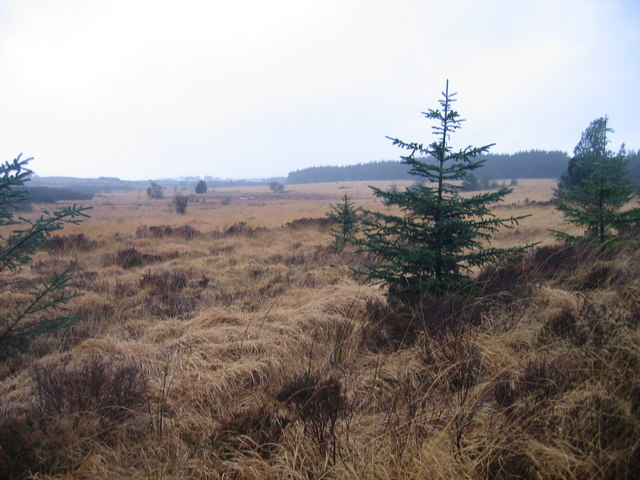
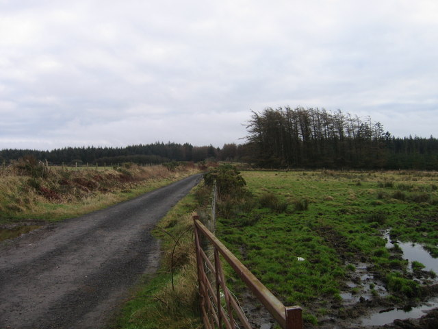
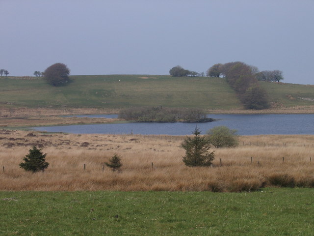
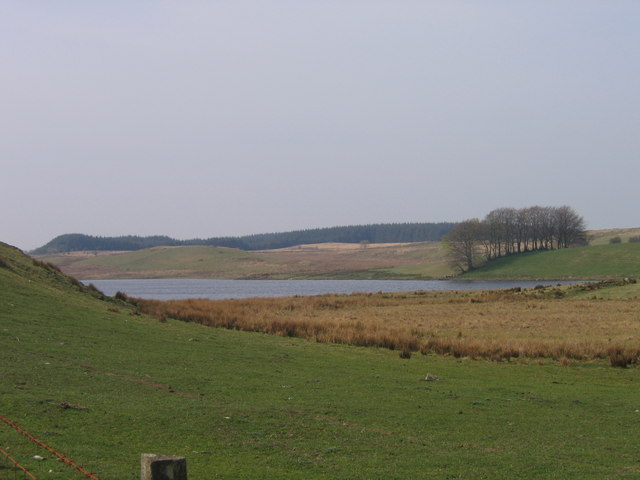
The village is predominantly residential, with a scattering of traditional stone houses and cottages that add to its charm. Surrounded by lush green fields and rolling hills, Joppa offers stunning views of the rugged Welsh countryside and the nearby Cardigan Bay.

Although small, Joppa benefits from its close proximity to larger towns. Residents have access to various amenities and services, including schools, shops, and healthcare facilities, in the neighboring towns. The village is also well-connected by road, making it easily accessible for commuters and visitors alike.

For outdoor enthusiasts, Joppa is a haven. The village is located near some of the most beautiful beaches in Wales, offering opportunities for swimming, sunbathing, and water sports. The coastal path that runs through Joppa provides enchanting walks with breathtaking views of the sea and surrounding cliffs.

Joppa is steeped in history, with nearby archaeological sites that date back to the Iron Age. The village also has a strong sense of community, with regular events and gatherings organized by residents. This tight-knit community spirit adds to the welcoming and friendly atmosphere that Joppa is known for.

In summary, Joppa is a charming and idyllic village in Cardiganshire, Wales, offering a peaceful and scenic environment for residents and visitors to enjoy.

If you have any feedback on the listing, please let us know in the comments section below.
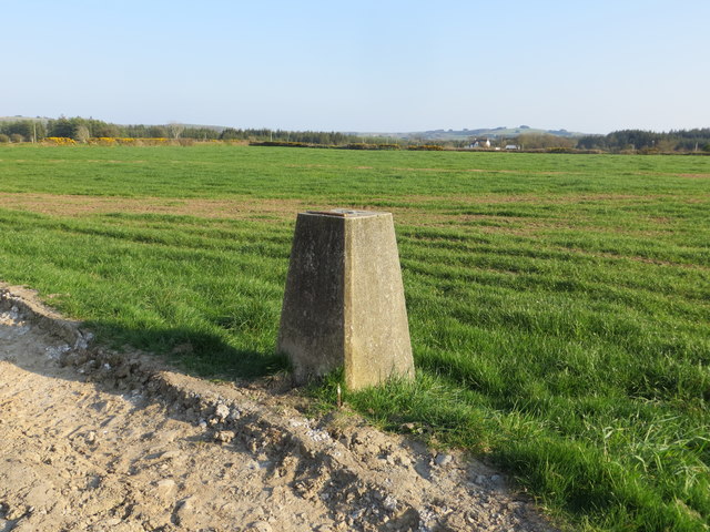
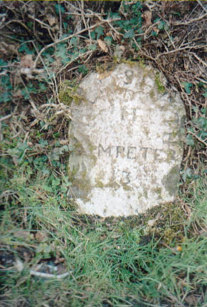
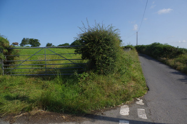
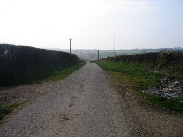
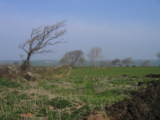
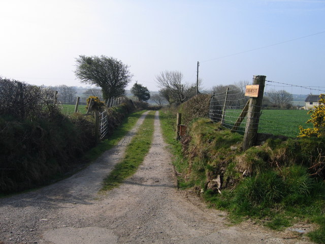
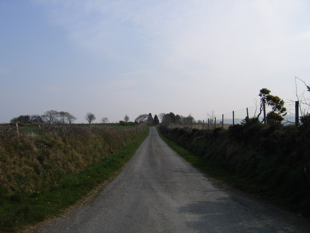
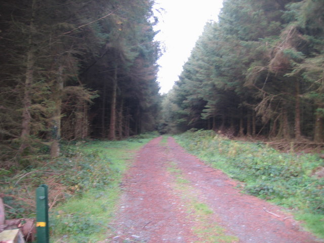
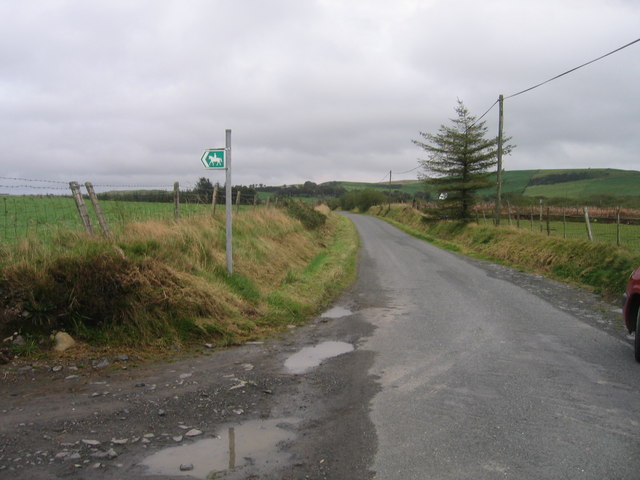
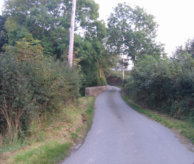
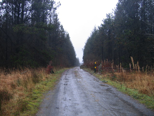
Joppa Images

Images are sourced within 2km of 52.279582/-4.0996843 or Grid Reference SN5666. Thanks to Geograph Open Source API. All images are credited.

Field view from the track at the Triangulation Pillar near Hafodwnog Ucha Looking south-eastward.
Field view from the track at the Triangulation Pillar near Hafodwnog Ucha
Looking south-eastward.
Old Milestone by the B4337, Llansantffraid parish Aberystwyth tombstone by the B4337, in parish of Llansantffraid (Ceredigion District), South of Hafod Peris.

Inscription reads:-
ABERYSTWYTH
11
LAMPETER
13

To be surveyed

Milestone Society National ID: CRD_AYLP11
Old Milestone by the B4337, Llansantffraid parish
Aberystwyth tombstone by the B4337, in parish of Llansantffraid (Ceredigion District), South of Hafod Peris. Inscription reads:- ABERYSTWYTH 11 LAMPETER 13 To be surveyed Milestone Society National ID: CRD_AYLP11
Lane towards Llanrhystud Two quiet lanes meet here in peaceful countryside south east of Llanrhystud.
Lane towards Llanrhystud
Two quiet lanes meet here in peaceful countryside south east of Llanrhystud.
Mabws Hall Mabws Hall, Ffermdy mawr ger Llangwyryfon / Mabws Hall, Large farmhouse near Llangwyryfon
Mabws Hall
Mabws Hall, Ffermdy mawr ger Llangwyryfon / Mabws Hall, Large farmhouse near Llangwyryfon
Ffordd Fferm ger Rhyd Rosser / Farm road near Rhyd Rosser Ffordd Fferm ger Rhyd Rosser / Farm road near Rhyd Rosser
Ffordd Fferm ger Rhyd Rosser / Farm road near Rhyd Rosser
Tir Amaethyddol ger Llangwyryfon / Farmland near Llangwyryfon Tir Amaethyddol ger Llangwyryfon / Farmland near Llangwyryfon
Tir Amaethyddol ger Llangwyryfon / Farmland near Llangwyryfon
Lluest Ffordd Fferm Lluest/ Lluest farm road
Lluest
Ffordd Fferm Lluest/ Lluest farm road
Lon Wledig ger Talwrn Hogfaen / Country Lane near Talwrn Hogfaen Lon Wledig ger Talwrn Hogfaen / Country Lane near Talwrn Hogfaen
Lon Wledig ger Talwrn Hogfaen / Country Lane near Talwrn Hogfaen
Ffordd Fferm / Farm Road Ffordd Fferm i Hafodwnog isaf sydd hefyd yn llwybyr cyhoeddus / Farm Road to Hafodwnog isaf which is also a public footpath.
Ffordd Fferm / Farm Road
Ffordd Fferm i Hafodwnog isaf sydd hefyd yn llwybyr cyhoeddus / Farm Road to Hafodwnog isaf which is also a public footpath.
Joppa Capel ym mhentref Joppa / Chapel in Joppa village
Joppa
Capel ym mhentref Joppa / Chapel in Joppa village
Lon wledig ger Joppa / Country lane near Joppa Lon gul ger Joppa / Narrow lane near Joppa.
Lon wledig ger Joppa / Country lane near Joppa
Lon gul ger Joppa / Narrow lane near Joppa.
Ffordd Fforest / Forest Road Caeau a Fforest ger Joppa / Fields and a forest near Joppa
Ffordd Fforest / Forest Road
Caeau a Fforest ger Joppa / Fields and a forest near Joppa
Fforest Conifferaidd / Coniferous Plantation Ffordd yn arwain i mewn Fforest / Track leading into  a forest
Fforest Conifferaidd / Coniferous Plantation
Ffordd yn arwain i mewn Fforest / Track leading into a forest
Llwybyr Ceffyl / Bridleway Llwybyr Ceffyl ar ochr lon gul / Bridleway leading off a narrow lane
Llwybyr Ceffyl / Bridleway
Llwybyr Ceffyl ar ochr lon gul / Bridleway leading off a narrow lane
Pont Rhyd Las Bont ar lon wledig ger Rhyd Las / Bridge on a country lane near Rhyd Las
Pont Rhyd Las
Bont ar lon wledig ger Rhyd Las / Bridge on a country lane near Rhyd Las
Ffordd Fforest  ger Nebo/ Forest Road near Nebo Mynediad i Fforest ar hyd Ffordd Fforest / Access to Forest along Forest Road
Ffordd Fforest ger Nebo/ Forest Road near Nebo
Mynediad i Fforest ar hyd Ffordd Fforest / Access to Forest along Forest Road
Gors Caranod ger Bethania / Caranod Bog near Bethania Cors Ucheldir ar bwys fforest conifferaidd / Upland Bog next to a coniferous forest.
Gors Caranod ger Bethania / Caranod Bog near Bethania
Cors Ucheldir ar bwys fforest conifferaidd / Upland Bog next to a coniferous forest.
Fforest Coniferaidd ger Hafod y Grug / Coniferous Forest near Hafod y Grug Ffordd Fforest yn arwain i Fforest Conifferaidd / Forest Road leading to a Coniferous Forest
Fforest Coniferaidd ger Hafod y Grug / Coniferous Forest near Hafod y Grug
Ffordd Fforest yn arwain i Fforest Conifferaidd / Forest Road leading to a Coniferous Forest
Show me another place!

Joppa is located at Grid Ref: SN5666 (Lat: 52.279582, Lng: -4.0996843)

Unitary Authority: Ceredigion

Police Authority: Dyfed Powys

What 3 Words

///shepherdess.gambles.manual. Near Llanon, Ceredigion

Related Wikis

Trawsnant

Trawsnant is a hamlet in the community of Llanrhystud, Ceredigion, Wales, which is 67.8 miles (109.1 km) from Cardiff and 177.5 miles (285.7 km) from...

Rhyd-Rosser

Rhydroser is a hamlet in the community of Llanrhystud, Ceredigion, Wales, which is 68.5 miles (110.3 km) from Cardiff and 178 miles (286.5 km) from London...

Tŷ-Newydd, Ceredigion

Tŷ-Newydd is a small village in the community of Llanrhystud, Ceredigion, Wales, which is 69.5 miles (111.8 km) from Cardiff and 179.1 miles (288.2 km...

Gaer Penrhôs

Gaer Penrhôs, in Ceredigion, Wales, was a ringwork castle at the summit of a steep hill near the village of Llanrhystud; now all that remains are the outlines...

Bethania, Ceredigion

Bethania is a hamlet in Ceredigion, mid Wales. == Geography == The centre of this dispersed community in the rural heart of the county is at the junction...

Llyn Eiddwen

Llyn Eiddwen () is a lake and site of special scientific interest near Trefenter in Ceredigion, Wales. It is the source of the River Aeron. This natural...

Llyn Fanod

Llyn Fanod is an upland lake situated between Penuwch and Bontnewydd in Ceredigion, Wales. It is a Site of Special Scientific Interest partly owned by...

Llanrhystud

Llanrhystud is a seaside village and electoral division on the A487 road in the county of Ceredigion, in Wales, 9 miles (14 km) south of Aberystwyth, and...

Nearby Amenities

Located within 500m of 52.279582,-4.0996843
Post Box
Post Box Design: hovis
Post Box Mounting: wall
Post Box Type: lamp
Ref: SY23 118
Royal Cypher: GR
Royal Cypher Wikidata: Q33102273
Lat/Long: 52.2800877/-4.1014285
Joppa
Place: hamlet
Lat/Long: 52.2801747/-4.101446
Place Of Worship
Lat/Long: 52.2802895/-4.1011832
Outerbounds_Camping
Source: local knowledge
Tourism: camp_site
Lat/Long: 52.2781611/-4.1043546
Telephone
Booth: K6
Covered: booth
Man Made: telephone_box
Old Phone: +44 1974 272547
Lat/Long: 52.2800735/-4.1013963
The data included in this document is from www.openstreetmap.org. The data is made available under ODbL.

Have you been to Joppa?

Leave your review of Joppa below (or comments, questions and feedback).