Barnyards
Settlement in Fife
Scotland
Barnyards
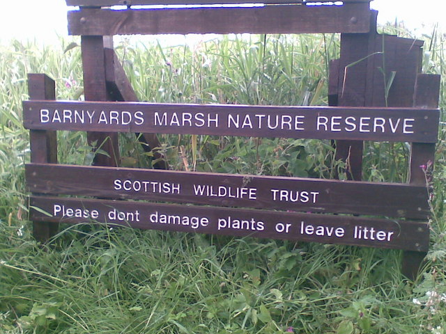
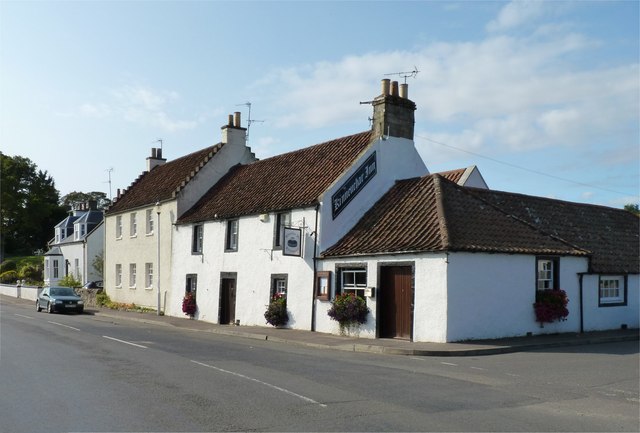
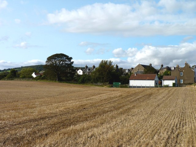
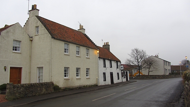
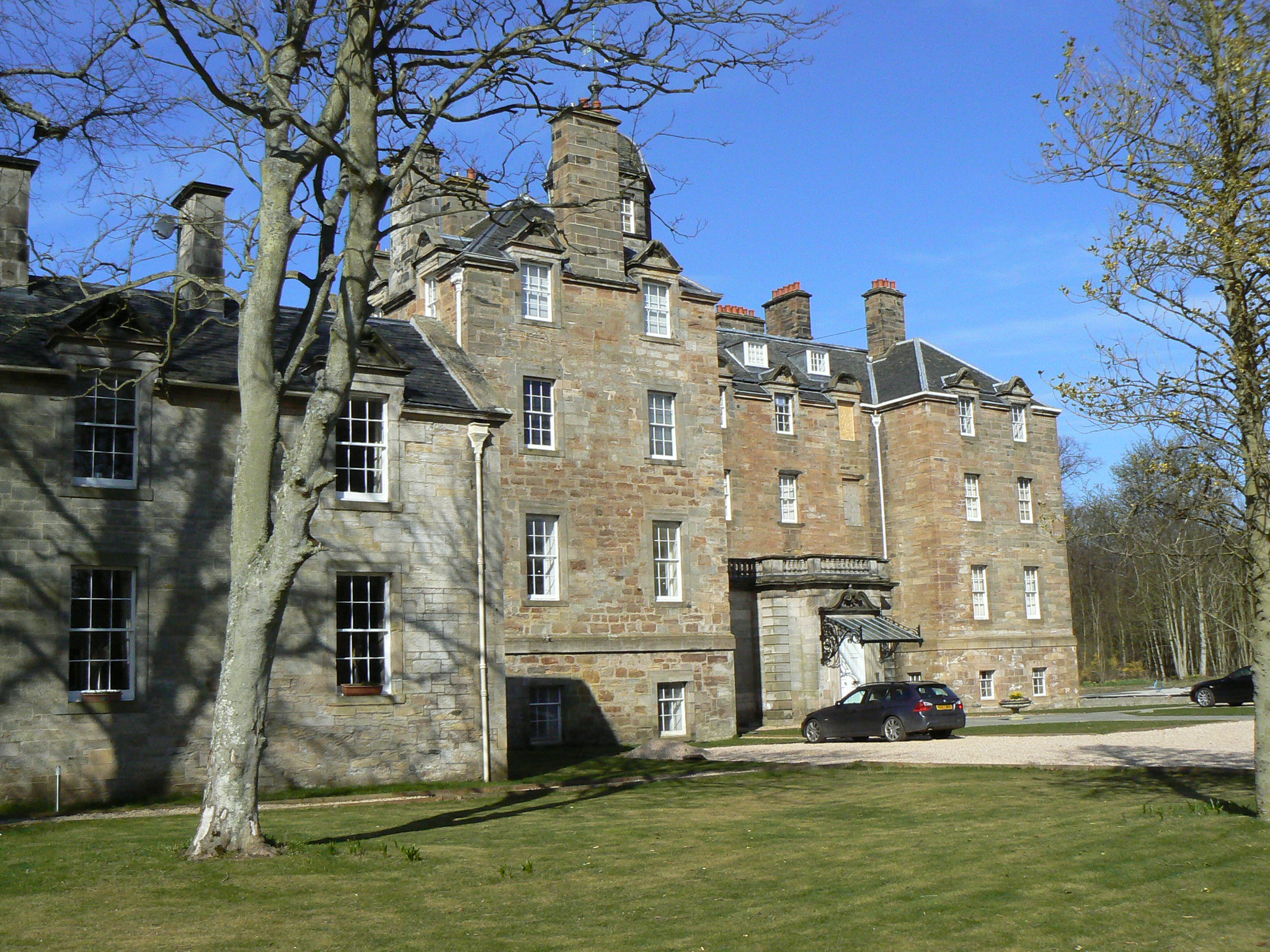
Barnyards is a small village located in the northeast of Fife, Scotland. Situated just south of the town of Cupar, it is nestled in the picturesque countryside of the region. The village is known for its tranquil atmosphere and charming rural surroundings.
With a population of approximately 300 residents, Barnyards is a tight-knit community where people enjoy a close sense of camaraderie. The village primarily consists of traditional stone houses and cottages, giving it a quaint and idyllic feel. The well-maintained gardens and green spaces add to the overall beauty of the area.
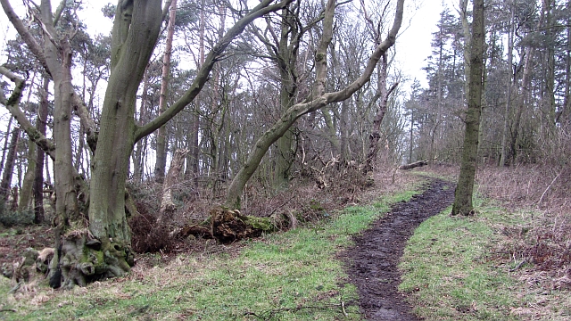
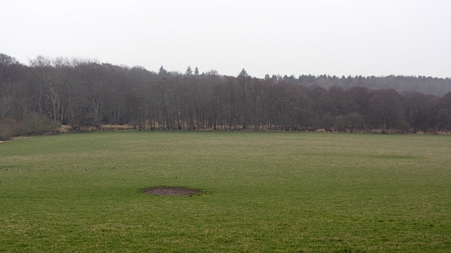
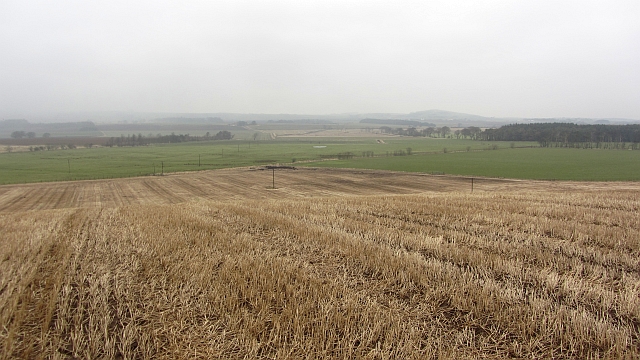
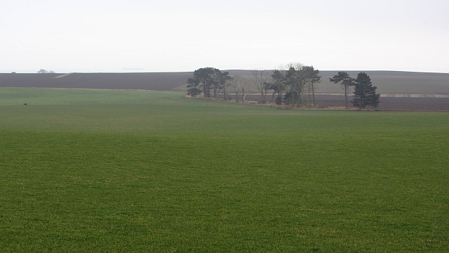
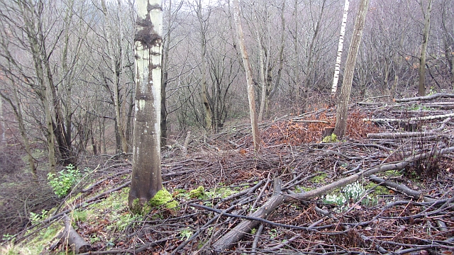
The village is surrounded by rolling hills and lush farmland, making it an ideal location for those who appreciate outdoor activities such as hiking, cycling, and nature walks. The nearby River Eden also provides opportunities for fishing and boating enthusiasts.
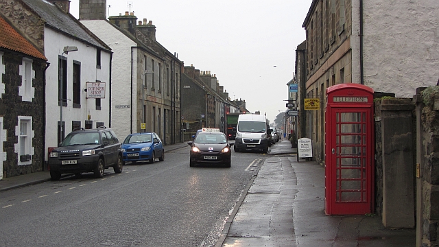
While Barnyards itself is a small village, it is conveniently located near larger towns and cities. Cupar, just a short distance away, offers a range of amenities including shops, restaurants, and leisure facilities. The city of St Andrews, renowned for its historic university and world-class golf courses, is within easy reach.
Overall, Barnyards is a peaceful and charming village that provides a tranquil retreat from the hustle and bustle of city life. Its natural beauty, friendly community, and convenient location make it an appealing place to live or visit in the beautiful region of Fife.
If you have any feedback on the listing, please let us know in the comments section below.
Barnyards Images
Images are sourced within 2km of 56.210555/-2.8280368 or Grid Reference NO4802. Thanks to Geograph Open Source API. All images are credited.


Barnyards is located at Grid Ref: NO4802 (Lat: 56.210555, Lng: -2.8280368)
Unitary Authority: Fife
Police Authority: Fife
What 3 Words
///neatly.kitchen.airbrush. Near St Monans, Fife
Nearby Locations
Related Wikis
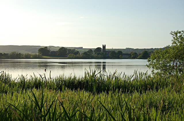
Kilconquhar Loch
Kilconquhar Loch is a Scottish freshwater loch. This small shallow loch is a Site of Special Scientific Interest (SSSI) and is located beside the village...

Kilconquhar railway station
Kilconquhar railway station served the village of Kilconquhar, Fife, Scotland from 1857 to 1965 on the Leven and East of Fife Railway. == History == The...

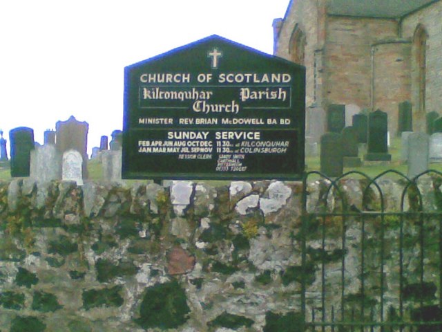
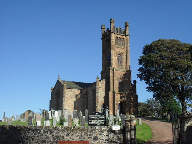
Kilconquhar
Kilconquhar ( ki-NYUKH-ər or ; Scots: also Kinneuchar, from the Scottish Gaelic: Cill Dhúnchadha or Scottish Gaelic: Cill Chonchaidh, Church of (St)...
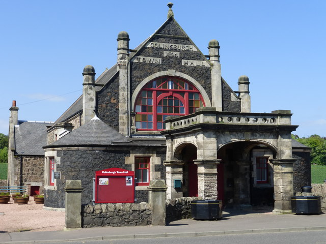
Colinsburgh Town Hall
Colinsburgh Town Hall is a municipal building in Main Street, Colinsburgh, Fife, Scotland. The building is used as a community events venue. == History... ==

Colinsburgh
Colinsburgh is a village in east Fife, Scotland, in the parish of Kilconquhar. == History == The village is named after Colin Lindsay, 3rd Earl of Balcarres...
Elie House
Elie House is a country house in Elie, Fife, Scotland. It is a Category A listed building.The house, built in 1697 and incorporating an earlier structure...

Elie Primary School
Elie Primary School is a school in Elie, Fife, Scotland. It is located partly in a Category C listed building dating from 1858. The architect of the relevant...

The Golf House Club
The Golf House Club, Elie established in 1875, is a historic members golf club located in the East Neuk of Fife, Scotland. Members have playing rights...
Nearby Amenities
Located within 500m of 56.210555,-2.8280368Have you been to Barnyards?
Leave your review of Barnyards below (or comments, questions and feedback).