Lambourne
Settlement in Essex Epping Forest
England
Lambourne
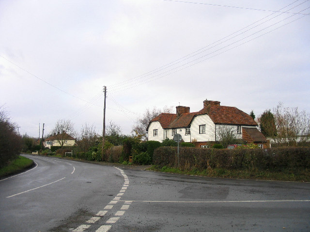
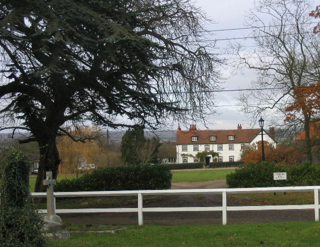
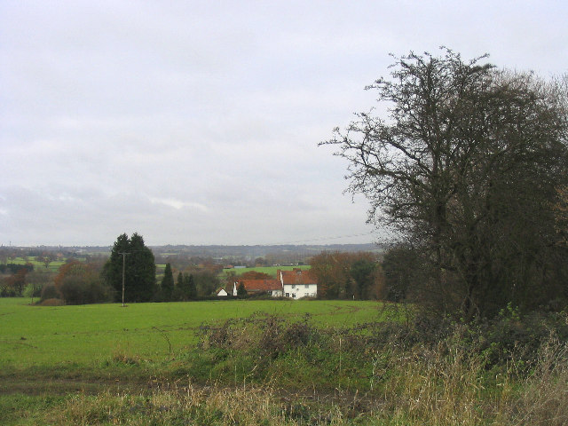
Lambourne is a small village located in the county of Essex, in the eastern part of England. Situated about 23 miles northeast of London, Lambourne is nestled within the Epping Forest District, surrounded by picturesque countryside and woodland areas. With a population of around 1,500 residents, it retains a charming and close-knit community atmosphere.
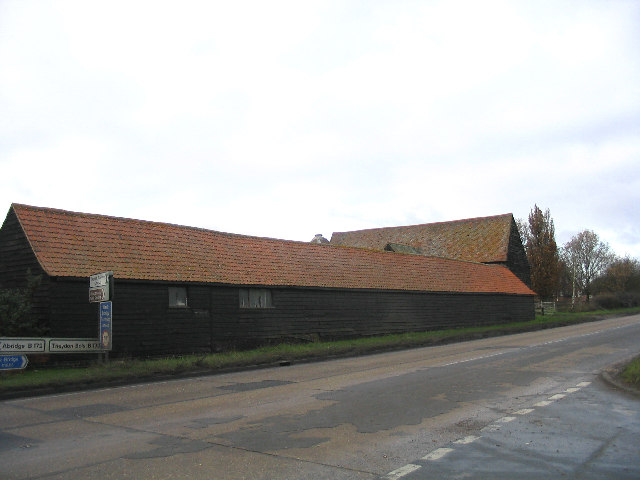
The village boasts a rich history that dates back centuries. It is known for its connection to horse racing, with Lambourne being a traditional training ground for racehorses since the 18th century. Many stables and stud farms can still be found in the area today, contributing to the village's equestrian legacy.
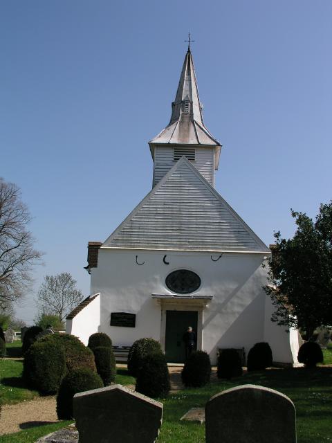
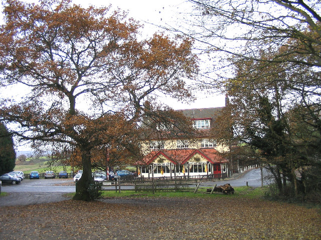
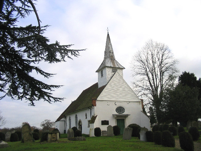
Lambourne offers a range of amenities for its residents and visitors. The village has a primary school, a church, and a village hall that serves as a hub for various community activities. There are also several pubs and restaurants where locals and visitors can enjoy a meal or a drink.
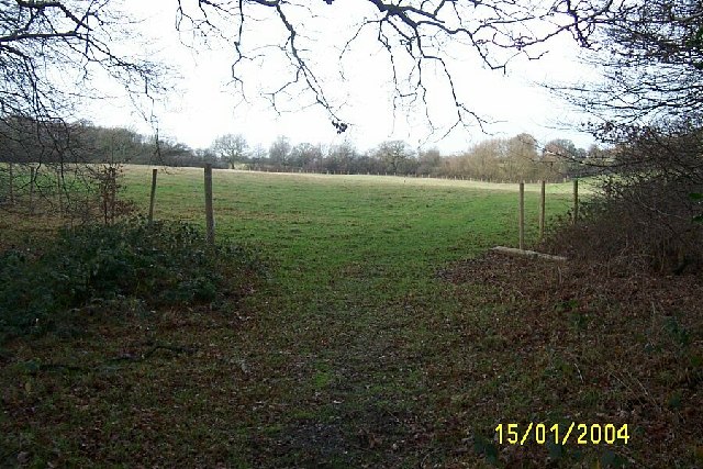
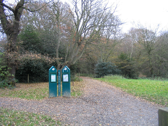
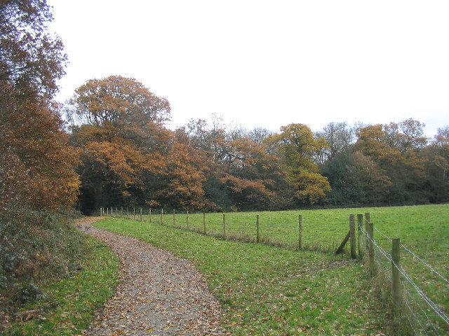
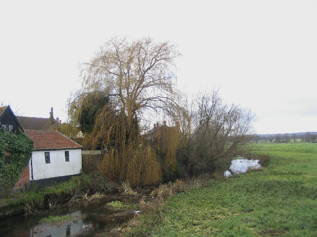
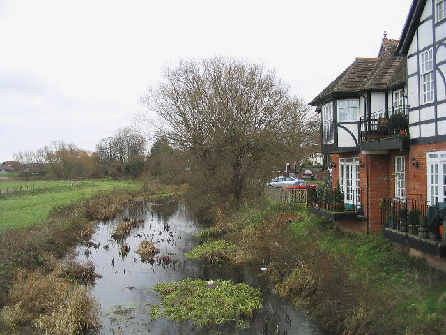
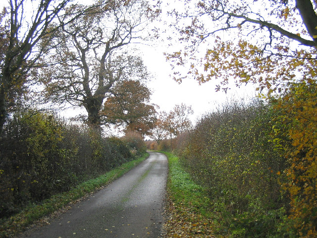
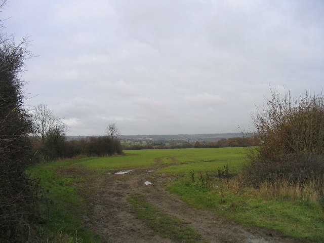
For nature enthusiasts, Lambourne offers ample opportunities to explore the outdoors. The village is surrounded by beautiful countryside, offering scenic walking and cycling routes. The nearby Epping Forest provides further opportunities for outdoor recreation, with its vast woodland, meadows, and lakes.
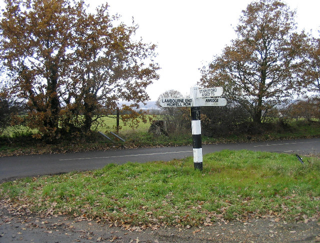
Despite its rural setting, Lambourne benefits from good transport links. The village is located near major roads, including the M11 and M25, providing easy access to London and other nearby towns. Additionally, there are regular bus services that connect Lambourne to surrounding areas.
Overall, Lambourne is a tranquil and historic village that offers a blend of rural charm, equestrian heritage, and natural beauty.
If you have any feedback on the listing, please let us know in the comments section below.
Lambourne Images
Images are sourced within 2km of 51.644217/0.134924 or Grid Reference TQ4796. Thanks to Geograph Open Source API. All images are credited.


Lambourne is located at Grid Ref: TQ4796 (Lat: 51.644217, Lng: 0.134924)
Administrative County: Essex
District: Epping Forest
Police Authority: Essex
What 3 Words
///trim.patio.supporter. Near Abridge, Essex
Nearby Locations
Related Wikis

Lambourne
Lambourne is a civil parish in the Epping Forest district of Essex, England. It is located approximately 4.5 miles (7 km) south of Epping and 5 miles...

Abridge
Abridge is a village in Essex, England. It is on the River Roding, 16 miles (26 km) southwest of the county town of Chelmsford. The village is in the district...

Brookhouse Brook
Brookhouse Brook is a 6.23 km (3.87 mi) long stream (brook) in the Epping Forest District of Essex, England, that is a tributary to the River Roding....

Stapleford Aerodrome
Stapleford Aerodrome (ICAO: EGSG) is an operational general aviation aerodrome in the Epping Forest district of Essex, England, near the village of Abridge...

Stapleford Abbotts
Stapleford Abbotts is a village and civil parish in the Epping Forest district of Essex, approximately 5.5 mi (9 km) SW of Ongar, 4.5 mi (7 km) N of Romford...

Hainault Forest
Hainault Forest was a large wooded area in the English counties of Essex and Greater London which was mostly destroyed after 1851. Popular outrage at the...
Chigwell Row
Chigwell Row is a small village falling within the Epping Forest district of Essex. It is located 12.9 miles (20.8 km) north east of Charing Cross. It...
Passingford Bridge
Passingford Bridge is a bridge over the River Roding, and a surrounding hamlet, in the parish of Stapleford Abbotts in the Epping Forest district of Essex...
Nearby Amenities
Located within 500m of 51.644217,0.134924Have you been to Lambourne?
Leave your review of Lambourne below (or comments, questions and feedback).