Soapley's Wood

Wood, Forest in Essex Epping Forest

England

Soapley's Wood

Lambourne church
Lambourne church Credit: mym

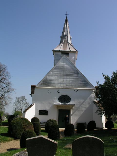
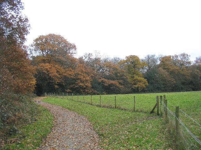
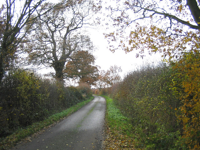
Soapley's Wood is a charming forest located in Essex, England. Covering an area of approximately 100 acres, it is a popular destination for nature enthusiasts and those seeking tranquility amidst the beauty of the outdoors. The wood is situated near the village of Soapley, hence its name, and is easily accessible by both car and foot.

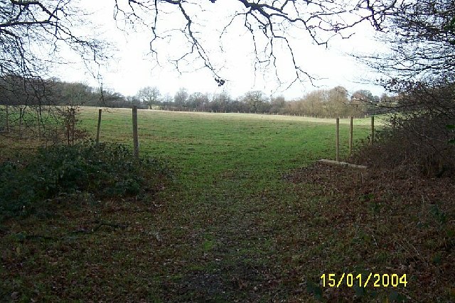
The wood is predominantly made up of broadleaf trees, including oak, ash, and beech, which create a rich and diverse ecosystem. These trees provide a dense canopy, offering shade and shelter for a wide range of wildlife. Visitors to Soapley's Wood can expect to encounter various bird species, such as woodpeckers and owls, as well as small mammals like squirrels and rabbits.

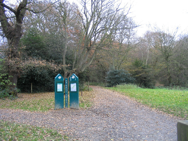
The forest is crisscrossed with a network of well-maintained footpaths, allowing visitors to explore its natural wonders at their leisure. These paths lead to picturesque spots, including a small pond and a babbling brook, offering a peaceful ambiance for relaxation and reflection.

Soapley's Wood is also home to a variety of plant species, including bluebells and wild garlic, which create a colorful and vibrant display during the spring months. This natural spectacle attracts many photographers and nature enthusiasts who flock to the wood to capture its beauty.

Overall, Soapley's Wood is a hidden gem in Essex, offering a haven for both wildlife and humans alike. With its stunning landscapes, diverse flora and fauna, and a sense of tranquility, it is an ideal destination for anyone seeking a peaceful escape into nature.

If you have any feedback on the listing, please let us know in the comments section below.

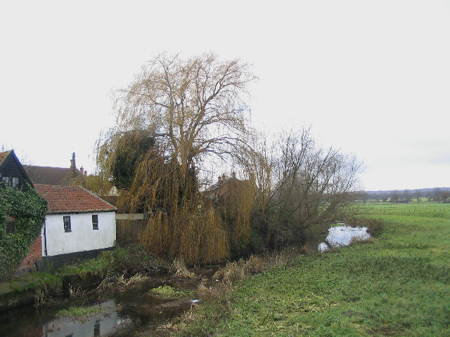
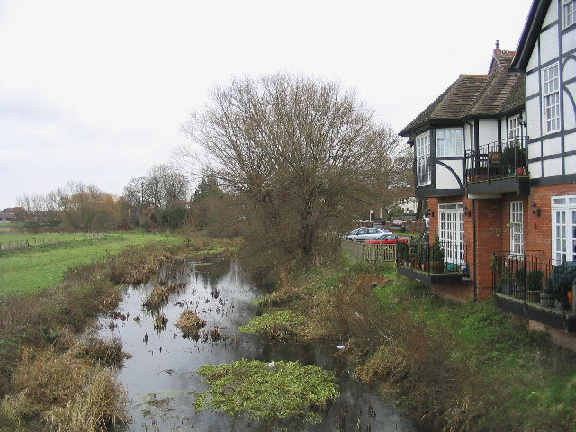
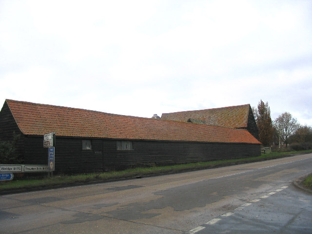
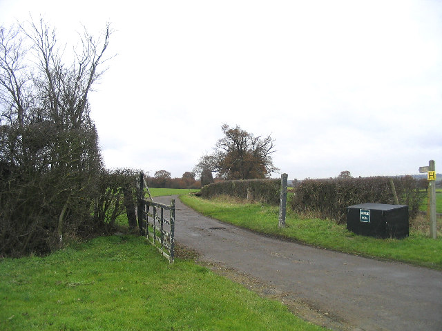
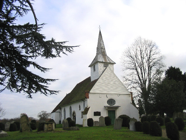
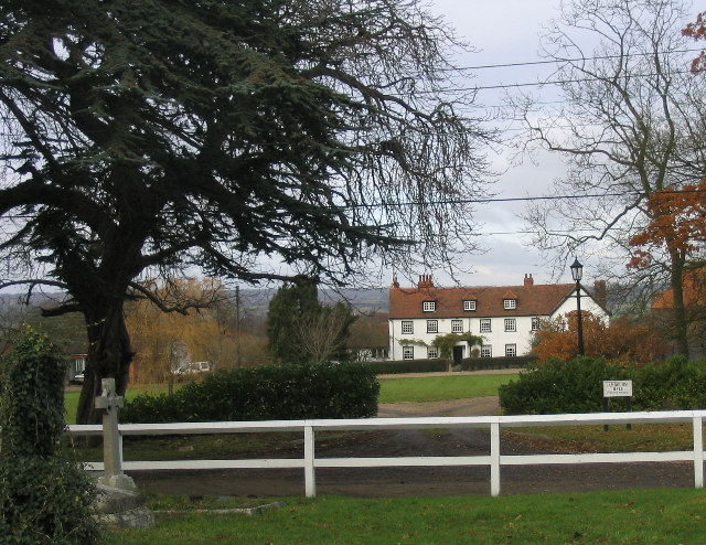
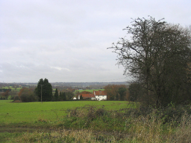
Soapley's Wood Images

Images are sourced within 2km of 51.644891/0.13034554 or Grid Reference TQ4796. Thanks to Geograph Open Source API. All images are credited.

Lambourne church
Lambourne church
Crowthers Garden Centre, Abridge, Essex
Pasture near Lambourne End, Essex Viewed looking north westwards from the Three Forests Way.
Pasture near Lambourne End, Essex
Viewed looking north westwards from the Three Forests Way.
Hainault Forest Country Park The start of the Forest Walk on Lambourne End side of the forest.
Hainault Forest Country Park
The start of the Forest Walk on Lambourne End side of the forest.
Camelot Public House, Lambourne End
Wild Wood Trail, Hainault Forest Part of a 2.5km circular walk around the north-east part of the forest.
Wild Wood Trail, Hainault Forest
Part of a 2.5km circular walk around the north-east part of the forest.
Lambourne End, Essex
Fingerpost, between Abridge and Lambourne End Situated at junction of Hoe Lane and New Road
Fingerpost, between Abridge and Lambourne End
Situated at junction of Hoe Lane and New Road
Abridge, Essex
Abridge, Essex
River Roding at Abridge A view looking west from the Roding bridge
River Roding at Abridge
A view looking west from the Roding bridge
River Roding, Abridge A view of the River Roding looking east from the Roding Bridge with Abridge Hall on right-hand side.
River Roding, Abridge
A view of the River Roding looking east from the Roding Bridge with Abridge Hall on right-hand side.
Barns, Piggotts Farm, Abridge A traditional Essex long barn - black weatherboarding and tile roof.
Barns, Piggotts Farm, Abridge
A traditional Essex long barn - black weatherboarding and tile roof.
Farm Road, Hydes Farm, Abridge
Entrance to Abridge Village Looking west along Ongar Road (the A113) towards Abridge
Entrance to Abridge Village
Looking west along Ongar Road (the A113) towards Abridge
A country lane, Abridge Church Lane is on south side of Ongar Road and leads to Lambourne Church
A country lane, Abridge
Church Lane is on south side of Ongar Road and leads to Lambourne Church
Lambourne Parish Church The church of St. Mary and All Saints dates back to middle to the 12 century. A history of church can be found at <span class="nowrap"><a title="http://www.oldlambourne.co.uk/lamchhist.htm" rel="nofollow ugc noopener" href="http://www.oldlambourne.co.uk/lamchhist.htm">Link</a><img style="margin-left:2px;" alt="External link" title="External link - shift click to open in new window" src="https://s1.geograph.org.uk/img/external.png" width="10" height="10"/></span>
Lambourne Parish Church
The church of St. Mary and All Saints dates back to middle to the 12 century. A history of church can be found at LinkExternal link
Lambourne Hall, Essex
Fields and Cottage, Abridge Looking north from Church Lane
Fields and Cottage, Abridge
Looking north from Church Lane
Show me another place!

Soapley's Wood is located at Grid Ref: TQ4796 (Lat: 51.644891, Lng: 0.13034554)

Administrative County: Essex

District: Epping Forest

Police Authority: Essex

What 3 Words

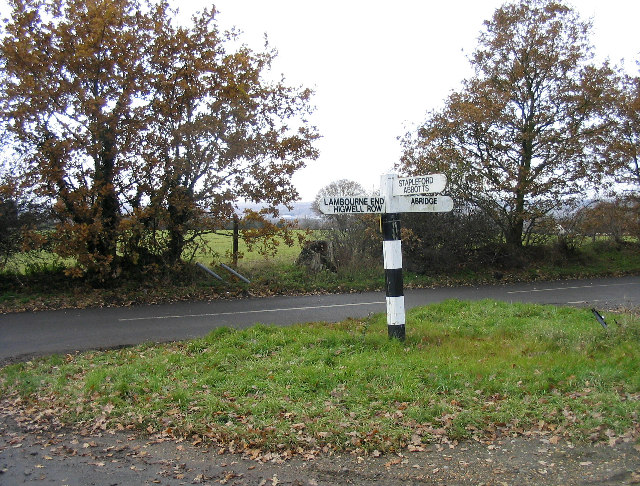
///foil.broom.unable. Near Abridge, Essex

Related Wikis

Lambourne

Lambourne is a civil parish in the Epping Forest district of Essex, England. It is located approximately 4.5 miles (7 km) south of Epping and 5 miles...

Abridge

Abridge is a village in Essex, England. It is on the River Roding, 16 miles (26 km) southwest of the county town of Chelmsford. The village is in the district...

Brookhouse Brook

Brookhouse Brook is a 6.23 km (3.87 mi) long stream (brook) in the Epping Forest District of Essex, England, that is a tributary to the River Roding....

Stapleford Aerodrome

Stapleford Aerodrome (ICAO: EGSG) is an operational general aviation aerodrome in the Epping Forest district of Essex, England, near the village of Abridge...

Stapleford Abbotts

Stapleford Abbotts is a village and civil parish in the Epping Forest district of Essex, approximately 5.5 mi (9 km) SW of Ongar, 4.5 mi (7 km) N of Romford...

Chigwell Row

Chigwell Row is a small village falling within the Epping Forest district of Essex. It is located 12.9 miles (20.8 km) north east of Charing Cross. It...

Hainault Forest

Hainault Forest was a large wooded area in the English counties of Essex and Greater London which was mostly destroyed after 1851. Popular outrage at the...

Epping Forest Country Club

The Epping Forest Country Club was a group of three night clubs on the Essex/London border, just outside Chigwell, Essex. The various night clubs were...

Nearby Amenities

Located within 500m of 51.644891,0.13034554
Barrier: kissing_gate
Bicycle: no
Foot: yes
Horse: no
Motor Vehicle: no
Lat/Long: 51.643973/0.1337637
Barrier: kissing_gate
Bicycle: no
Foot: yes
Horse: no
Motor Vehicle: no
Lat/Long: 51.6483692/0.126954
Barrier: kissing_gate
Bicycle: no
Foot: yes
Horse: no
Motor Vehicle: no
Lat/Long: 51.6464779/0.1306429
Noexit: yes
Lat/Long: 51.6449895/0.1357189
Power: pole
Lat/Long: 51.6476903/0.1247549
Noexit: yes
Lat/Long: 51.6482747/0.1267133
Power: pole
Lat/Long: 51.6440674/0.1287957
Power: pole
Lat/Long: 51.6446541/0.1285489
Power: pole
Lat/Long: 51.6452351/0.1283131
Power: pole
Lat/Long: 51.645818/0.128077
Power: pole
Lat/Long: 51.64854/0.1265393
Power: pole
Lat/Long: 51.647574/0.127356
Power: pole
Lat/Long: 51.648159/0.1271099
Noexit: yes
Lat/Long: 51.6487558/0.1271263
Power: pole
Lat/Long: 51.6449197/0.1354188
Noexit: yes
Lat/Long: 51.6450642/0.1341713
Noexit: yes
Lat/Long: 51.6448814/0.1341779
Noexit: yes
Lat/Long: 51.6439548/0.1326771
Noexit: yes
Lat/Long: 51.6443724/0.1361528
The data included in this document is from www.openstreetmap.org. The data is made available under ODbL.

Have you been to Soapley's Wood?

Leave your review of Soapley's Wood below (or comments, questions and feedback).