Jubilee Plantation

Wood, Forest in Essex Epping Forest

England

Jubilee Plantation

Lambourne church
Lambourne church Credit: mym

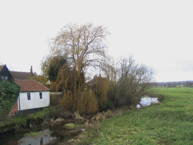
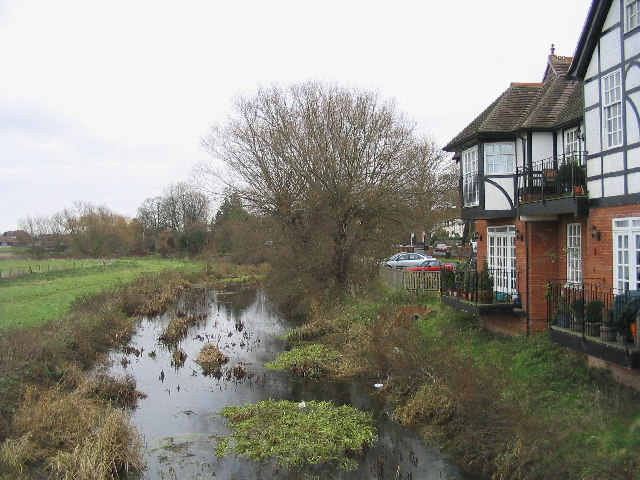
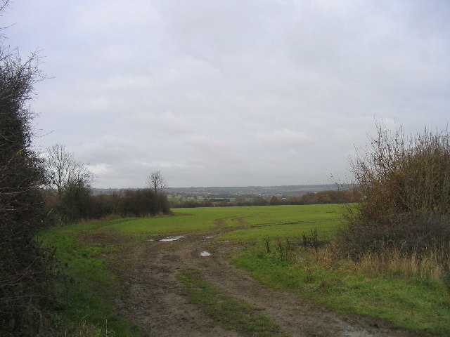
Jubilee Plantation is a picturesque woodland located in the county of Essex, England. Situated near the town of Wood, the plantation spans over a vast area and is renowned for its natural beauty and diverse wildlife.

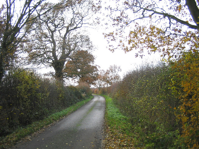
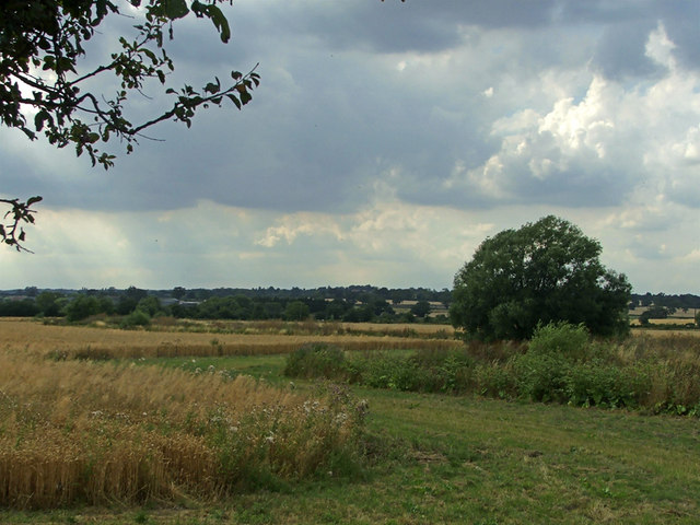
The woodland is characterized by its lush greenery, consisting of a variety of tree species such as oak, beech, and maple. The vibrant colors of the foliage make it an ideal destination for nature enthusiasts and photographers, especially during the autumn season when the leaves turn into a stunning array of reds, oranges, and yellows.

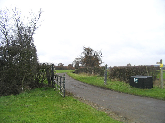
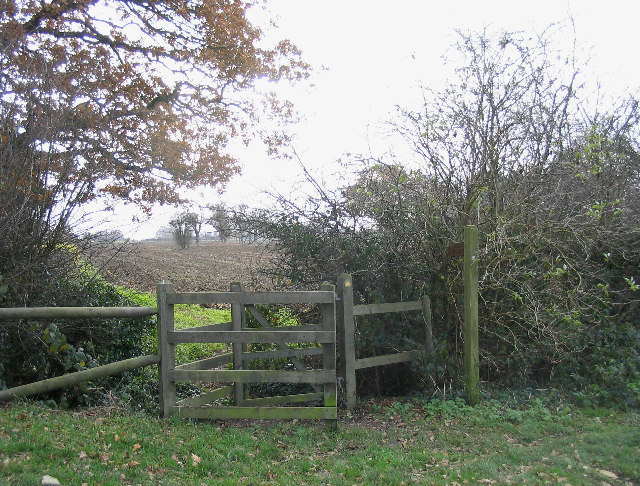
Jubilee Plantation offers a tranquil escape from the hustle and bustle of urban life, providing visitors with an opportunity to immerse themselves in a peaceful and serene environment. The well-maintained pathways winding through the forest allow for leisurely walks, providing glimpses of the flora and fauna that call the woodland their home.

Birdwatchers can delight in the numerous avian species that inhabit the area, including woodpeckers, nightingales, and various types of owls. Additionally, the woodland is home to a diverse range of mammals, such as deer, foxes, and rabbits, which can occasionally be spotted by lucky observers.

Jubilee Plantation also offers various amenities to enhance visitors' experiences, including picnic areas, benches, and information boards detailing the local wildlife and history of the woodland. It is a popular destination for families, nature lovers, and those seeking a peaceful retreat amidst nature's bounty.

If you have any feedback on the listing, please let us know in the comments section below.

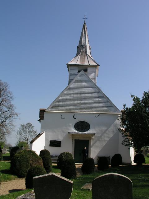
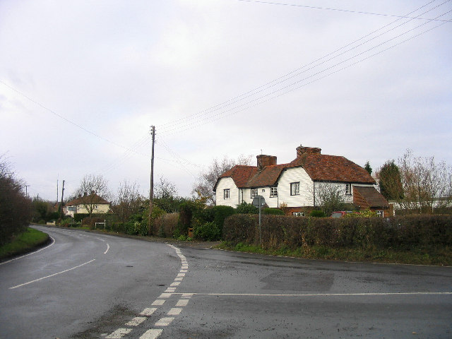
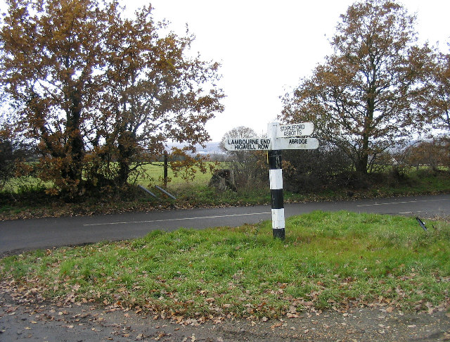
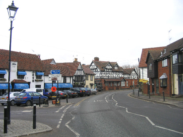
Jubilee Plantation Images

Images are sourced within 2km of 51.647592/0.13311749 or Grid Reference TQ4796. Thanks to Geograph Open Source API. All images are credited.

Lambourne church
Lambourne church
Crowthers Garden Centre, Abridge, Essex
Lambourne End, Essex
Fingerpost, between Abridge and Lambourne End Situated at junction of Hoe Lane and New Road
Fingerpost, between Abridge and Lambourne End
Situated at junction of Hoe Lane and New Road
Abridge, Essex
Abridge, Essex
River Roding at Abridge A view looking west from the Roding bridge
River Roding at Abridge
A view looking west from the Roding bridge
River Roding, Abridge A view of the River Roding looking east from the Roding Bridge with Abridge Hall on right-hand side.
River Roding, Abridge
A view of the River Roding looking east from the Roding Bridge with Abridge Hall on right-hand side.
Barns, Piggotts Farm, Abridge A traditional Essex long barn - black weatherboarding and tile roof.
Barns, Piggotts Farm, Abridge
A traditional Essex long barn - black weatherboarding and tile roof.
Farm Road, Hydes Farm, Abridge
Entrance to Abridge Village Looking west along Ongar Road (the A113) towards Abridge
Entrance to Abridge Village
Looking west along Ongar Road (the A113) towards Abridge
A country lane, Abridge Church Lane is on south side of Ongar Road and leads to Lambourne Church
A country lane, Abridge
Church Lane is on south side of Ongar Road and leads to Lambourne Church
Lambourne Parish Church The church of St. Mary and All Saints dates back to middle to the 12 century. A history of church can be found at <span class="nowrap"><a title="http://www.oldlambourne.co.uk/lamchhist.htm" rel="nofollow ugc noopener" href="http://www.oldlambourne.co.uk/lamchhist.htm">Link</a><img style="margin-left:2px;" alt="External link" title="External link - shift click to open in new window" src="https://s1.geograph.org.uk/img/external.png" width="10" height="10"/></span>
Lambourne Parish Church
The church of St. Mary and All Saints dates back to middle to the 12 century. A history of church can be found at LinkExternal link
Lambourne Hall, Essex
Fields and Cottage, Abridge Looking north from Church Lane
Fields and Cottage, Abridge
Looking north from Church Lane
Farmland near Abridge
'Kissing Gate' stile near Abridge Located alongside Lambourne Church
'Kissing Gate' stile near Abridge
Located alongside Lambourne Church
Coveney Nursery, Ongar Road Coveney Nursery and Tea Shop, Ongar Road
Coveney Nursery, Ongar Road
Coveney Nursery and Tea Shop, Ongar Road
Farmland opposite Coveney Nursery, Ongar Road
Show me another place!

Jubilee Plantation is located at Grid Ref: TQ4796 (Lat: 51.647592, Lng: 0.13311749)

Administrative County: Essex

District: Epping Forest

Police Authority: Essex

What 3 Words

///rate.guitar.tribal. Near Abridge, Essex

Related Wikis

Abridge

Abridge is a village in Essex, England. It is on the River Roding, 16 miles (26 km) southwest of the county town of Chelmsford. The village is in the district...

Lambourne

Lambourne is a civil parish in the Epping Forest district of Essex, England. It is located approximately 4.5 miles (7 km) south of Epping and 5 miles...

Brookhouse Brook

Brookhouse Brook is a 6.23 km (3.87 mi) long stream (brook) in the Epping Forest District of Essex, England, that is a tributary to the River Roding....

Stapleford Aerodrome

Stapleford Aerodrome (ICAO: EGSG) is an operational general aviation aerodrome in the Epping Forest district of Essex, England, near the village of Abridge...

Stapleford Abbotts

Stapleford Abbotts is a village and civil parish in the Epping Forest district of Essex, approximately 5.5 mi (9 km) SW of Ongar, 4.5 mi (7 km) N of Romford...

Theydon Garnon

Theydon Garnon is a village and civil parish in the Epping Forest district, in the county of Essex, England. The parish also includes the hamlet of Hobbs...

Passingford Bridge

Passingford Bridge is a bridge over the River Roding, and a surrounding hamlet, in the parish of Stapleford Tawney in the Epping Forest district of Essex...

Epping Forest Country Club

The Epping Forest Country Club was a group of three night clubs on the Essex/London border, just outside Chigwell, Essex. The various night clubs were...

Nearby Amenities

Located within 500m of 51.647592,0.13311749
Barrier: kissing_gate
Bicycle: no
Foot: yes
Horse: no
Motor Vehicle: no
Lat/Long: 51.643973/0.1337637
Barrier: kissing_gate
Bicycle: no
Foot: yes
Horse: no
Motor Vehicle: no
Lat/Long: 51.6483692/0.126954
Barrier: kissing_gate
Bicycle: no
Foot: yes
Horse: no
Motor Vehicle: no
Lat/Long: 51.6464779/0.1306429
Noexit: yes
Lat/Long: 51.6449895/0.1357189
Noexit: yes
Lat/Long: 51.6482747/0.1267133
Power: pole
Lat/Long: 51.6440674/0.1287957
Power: pole
Lat/Long: 51.6446541/0.1285489
Power: pole
Lat/Long: 51.6452351/0.1283131
Power: pole
Lat/Long: 51.645818/0.128077
Power: pole
Lat/Long: 51.64854/0.1265393
Power: pole
Lat/Long: 51.647574/0.127356
Power: pole
Lat/Long: 51.648159/0.1271099
Noexit: yes
Lat/Long: 51.6487558/0.1271263
Noexit: yes
Lat/Long: 51.6491202/0.1265564
Noexit: yes
Lat/Long: 51.6491984/0.1265488
Noexit: yes
Lat/Long: 51.6490065/0.1269393
Power: pole
Lat/Long: 51.6449197/0.1354188
Noexit: yes
Lat/Long: 51.6450642/0.1341713
Noexit: yes
Lat/Long: 51.6448814/0.1341779
Noexit: yes
Lat/Long: 51.6439548/0.1326771
Noexit: yes
Lat/Long: 51.6443724/0.1361528
The data included in this document is from www.openstreetmap.org. The data is made available under ODbL.

Have you been to Jubilee Plantation?

Leave your review of Jubilee Plantation below (or comments, questions and feedback).