Littleton Glen

Valley in Ayrshire

Scotland

Littleton Glen

In the Garden of Eden at Straiton There has been a lot of lichen growth on this well-known old stone since the 2008 photo was taken and the lower part is no longer visible. See <a href="https://www.geograph.org.uk/photo/991771">NS3804 : An old gravestone in St Cuthbert's Parish Church</a>. The carving shows Adam and Eve beside the Tree of Life with the serpent twined round the trunk. Old Scottish graveyards contain forty-five examples of Adam & Eve stones, representing the first indication of man’s mortality in the Bible.
In the Garden of Eden at Straiton Credit: Mary and Angus Hogg

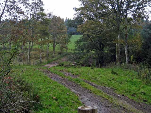
Littleton Glen is a picturesque valley located in the region of Ayrshire, Scotland. The glen stretches for approximately two miles and is nestled between the rolling hills of the Southern Uplands. It is named after the nearby village of Littleton.

The Glen is renowned for its stunning natural beauty, characterized by lush greenery, babbling brooks, and a variety of wildlife. The landscape is dominated by dense woodlands, mainly consisting of native species such as oak, ash, and birch trees. These woodlands provide a sanctuary for numerous bird species, including woodpeckers, owls, and finches.

The glen is intersected by the Littleton Burn, a small river that meanders through the valley, creating picturesque waterfalls and cascades along its course. The sound of running water is a constant presence as visitors explore the glen’s numerous walking trails and footpaths.

Littleton Glen also boasts a rich historical heritage. The remnants of an ancient settlement, believed to date back to the Iron Age, have been discovered in the area. Archaeological excavations have uncovered artifacts such as pottery, tools, and even a burial site, providing insights into the lives of the people who once called this place home.

The glen is a popular destination for nature enthusiasts, hikers, and families seeking a peaceful retreat. It offers a range of activities, including birdwatching, picnicking, and photography. The tranquil atmosphere and stunning vistas make Littleton Glen an idyllic spot to escape the hustle and bustle of city life and immerse oneself in the beauty of nature.

If you have any feedback on the listing, please let us know in the comments section below.

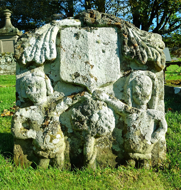
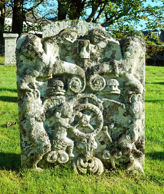
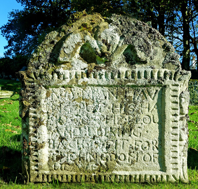
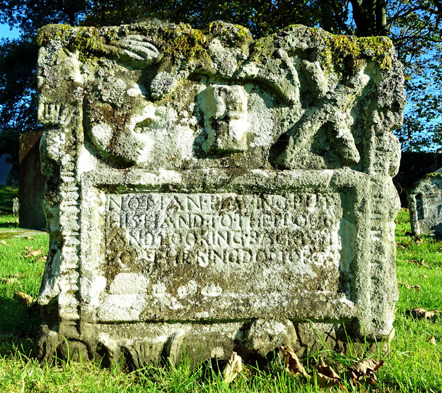
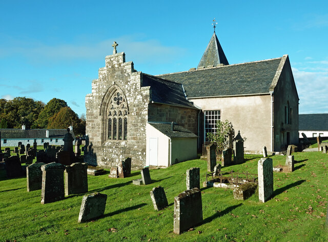
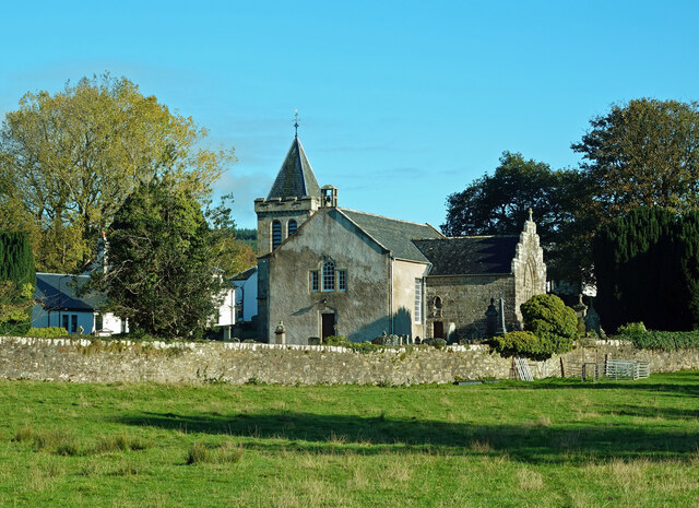
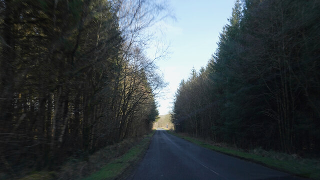
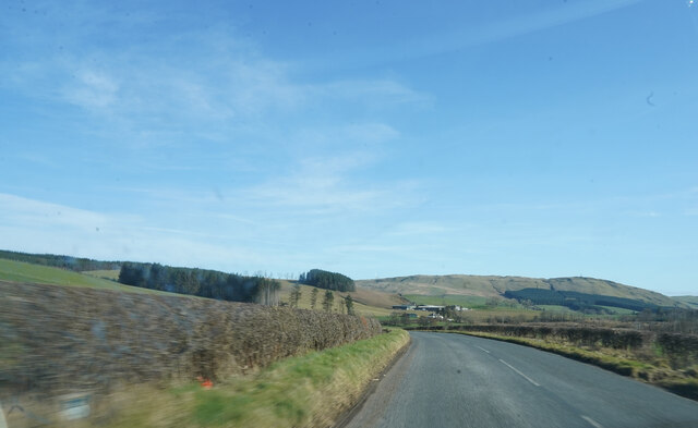
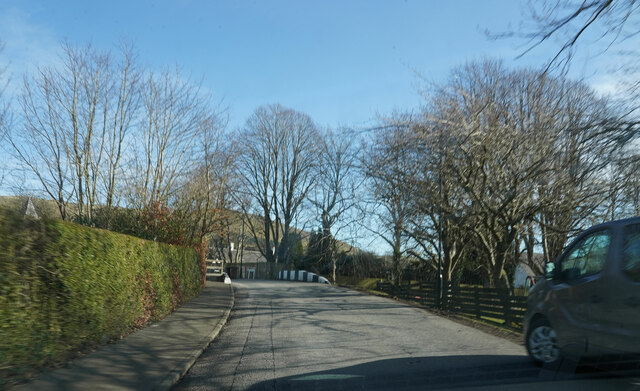
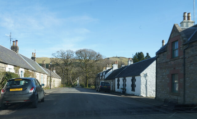
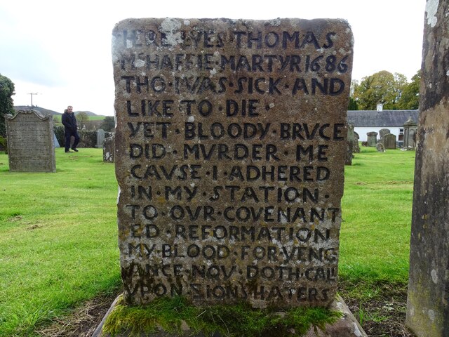
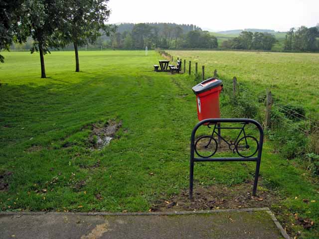
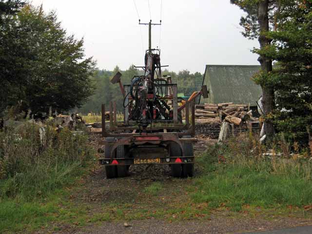
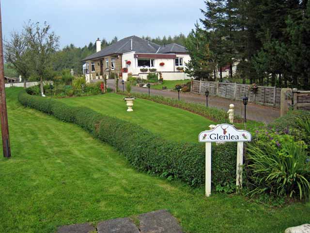
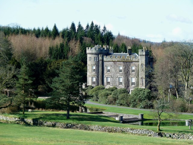
Littleton Glen Images

Images are sourced within 2km of 55.323541/-4.5559536 or Grid Reference NS3706. Thanks to Geograph Open Source API. All images are credited.

In the Garden of Eden at Straiton There has been a lot of lichen growth on this well-known old stone since the 2008 photo was taken and the lower part is no longer visible. See <a href="https://www.geograph.org.uk/photo/991771">NS3804 : An old gravestone in St Cuthbert's Parish Church</a>. The carving shows Adam and Eve beside the Tree of Life with the serpent twined round the trunk. Old Scottish graveyards contain forty-five examples of Adam & Eve stones, representing the first indication of man’s mortality in the Bible.
In the Garden of Eden at Straiton
There has been a lot of lichen growth on this well-known old stone since the 2008 photo was taken and the lower part is no longer visible. See NS3804 : An old gravestone in St Cuthbert's Parish Church. The carving shows Adam and Eve beside the Tree of Life with the serpent twined round the trunk. Old Scottish graveyards contain forty-five examples of Adam & Eve stones, representing the first indication of man’s mortality in the Bible.
A miller’s gravestone A closer look at <a href="https://www.geograph.org.uk/photo/4804710">NS3804 : Stones in Straiton Graveyard</a> showing a figure working cogged wheels.
A miller’s gravestone
A closer look at NS3804 : Stones in Straiton Graveyard showing a figure working cogged wheels.
Another farmer’s grave at Straiton A closer look at the left-hand stone in <a href="https://www.geograph.org.uk/photo/4804729">NS3804 : Farmers' Graves at Straiton</a> showing a crudely carved winged soul above the inscription.
Another farmer’s grave at Straiton
A closer look at the left-hand stone in NS3804 : Farmers' Graves at Straiton showing a crudely carved winged soul above the inscription.
A farmer’s grave at Straiton A closer look at the right-hand stone in <a href="https://www.geograph.org.uk/photo/4804729">NS3804 : Farmers' Graves at Straiton</a> which shows a crudely carved winged soul above the inscription. There’s also a grotesque skull on the left, crossed bones on the right and an hour-glass in the middle to remind observers that their time is running out too. The carvings on the lower section are obscured by the grass.
A farmer’s grave at Straiton
A closer look at the right-hand stone in NS3804 : Farmers' Graves at Straiton which shows a crudely carved winged soul above the inscription. There’s also a grotesque skull on the left, crossed bones on the right and an hour-glass in the middle to remind observers that their time is running out too. The carvings on the lower section are obscured by the grass.
Straiton Church and graveyard There was a parish church here in medieval times but most of the current building was erected in 1758 with restoration work undertaken in 1901. The cross on the south-facing gable holds a small carving of the Carrick Cross <a href="https://www.geograph.org.uk/photo/6808777">NS3804 : The Carrick Cross on Straiton church roof</a>. The graveyard contains several interesting old symbolic stones, including a fine Adam & Eve stone. <a href="https://www.geograph.org.uk/photo/7010960">NS3804 : In the Garden of Eden at Straiton</a>
Straiton Church and graveyard
There was a parish church here in medieval times but most of the current building was erected in 1758 with restoration work undertaken in 1901. The cross on the south-facing gable holds a small carving of the Carrick Cross NS3804 : The Carrick Cross on Straiton church roof. The graveyard contains several interesting old symbolic stones, including a fine Adam & Eve stone. NS3804 : In the Garden of Eden at Straiton
Straiton Church view An unusual view of Straiton Church taken from the adjoining field. There was a parish church here in medieval times but most of the current building was erected in 1758 with restoration work undertaken in 1901. The graveyard contains several interesting old symbolic stones.
Straiton Church view
An unusual view of Straiton Church taken from the adjoining field. There was a parish church here in medieval times but most of the current building was erected in 1758 with restoration work undertaken in 1901. The graveyard contains several interesting old symbolic stones.
Crossing the Water of Girvan A touch of autumn colour on the Village Ramble around Straiton where the track crosses then water of Girvan. For a summer view, see <a href="https://www.geograph.org.uk/photo/1461648">NS3804 : Across The Water Of Girvan</a>
Crossing the Water of Girvan
A touch of autumn colour on the Village Ramble around Straiton where the track crosses then water of Girvan. For a summer view, see NS3804 : Across The Water Of Girvan
Deep shadow between the woods Dark shadow with a 'V' of bright sunlight played havoc with the camera light meter.
Deep shadow between the woods
Dark shadow with a 'V' of bright sunlight played havoc with the camera light meter.
Near Littleton Bridge Running down the hill towards a place named Littleton Bridge.
Near Littleton Bridge
Running down the hill towards a place named Littleton Bridge.
Entering Straiton Another small village we entered to go and see the former headmasters house  of one of our friends former schools.
Entering Straiton
Another small village we entered to go and see the former headmasters house of one of our friends former schools.
Straiton Village A small village with houses typical of the area.
Straiton Village
A small village with houses typical of the area.
Covenanter's Grave The grave of Thomas McHaffie, Covenanter, in Straiton kirkyard.
Covenanter's Grave
The grave of Thomas McHaffie, Covenanter, in Straiton kirkyard.
The Buck at Straiton This is a fantastic little coffee shop and eat in snack shop. The toasted sandwiches and home made cakes are out of this world. A must stop for anyone passing through this lovely little town.
The Buck at Straiton
This is a fantastic little coffee shop and eat in snack shop. The toasted sandwiches and home made cakes are out of this world. A must stop for anyone passing through this lovely little town.
Farm road near Straiton
Bennan Stud, near Straiton The village can be seen in the distance <a href="https://www.geograph.org.uk/gridref/NX3804">NX3804</a>.
Bennan Stud, near Straiton
The village can be seen in the distance NX3804.
Recreation ground at Straiton Complete with picnic table and cycle park, next to the village car park. Straiton advertises itself as a good centre for rambling.
Recreation ground at Straiton
Complete with picnic table and cycle park, next to the village car park. Straiton advertises itself as a good centre for rambling.
Sawmill at Milton, Straiton
Glenlea, near Straiton The garden of this bungalow is filled with statues and water features erected by the owner, one of which commemorates her father. Not to everybody's taste, however.
Glenlea, near Straiton
The garden of this bungalow is filled with statues and water features erected by the owner, one of which commemorates her father. Not to everybody's taste, however.
Show me another place!

Littleton Glen is located at Grid Ref: NS3706 (Lat: 55.323541, Lng: -4.5559536)

Unitary Authority: South Ayrshire

Police Authority: Ayrshire

What 3 Words

///shares.remaking.operating. Near Patna, East Ayrshire

Related Wikis

Straiton

Straiton is a village on the River Girvan in South Ayrshire in Scotland. It lies in the hills between Kirkmichael, Dalmellington, Crosshill, and Maybole...

Blairquhan Castle

Blairquhan ( blair-WHAHN, Scots: Blairwhan) is a Regency era castle near Maybole in South Ayrshire, Scotland. It was the historic home of the Hunter-Blair...

Cloncaird Castle

Cloncaird Castle is located near the small village of Kirkmichael, around 6 kilometres (3.7 mi) east of Maybole in South Ayrshire, Scotland. The castle...

Kirkmichael, South Ayrshire

Kirkmichael (Gaelic: Cille Mhìcheil, "the church of St Michael") is a village in South Ayrshire, Scotland, located between Patna, Maybole and Straiton...

Nearby Amenities

Located within 500m of 55.323541,-4.5559536
Power: pole
Lat/Long: 55.3191674/-4.5552121
Power: pole
Lat/Long: 55.3198887/-4.5553773
Power: pole
Lat/Long: 55.320375/-4.5553939
Power: pole
Lat/Long: 55.3200661/-4.5545912
The data included in this document is from www.openstreetmap.org. The data is made available under ODbL.

Have you been to Littleton Glen?

Leave your review of Littleton Glen below (or comments, questions and feedback).