Altizourie Glen

Valley in Ayrshire

Scotland

Altizourie Glen

In the Garden of Eden at Straiton There has been a lot of lichen growth on this well-known old stone since the 2008 photo was taken and the lower part is no longer visible. See <a href="https://www.geograph.org.uk/photo/991771">NS3804 : An old gravestone in St Cuthbert's Parish Church</a>. The carving shows Adam and Eve beside the Tree of Life with the serpent twined round the trunk. Old Scottish graveyards contain forty-five examples of Adam & Eve stones, representing the first indication of man’s mortality in the Bible.
In the Garden of Eden at Straiton Credit: Mary and Angus Hogg

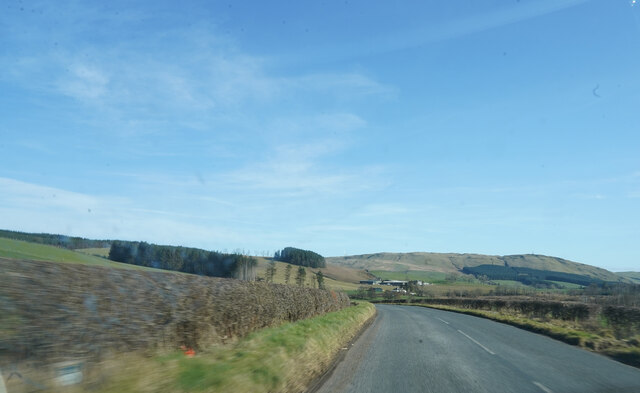
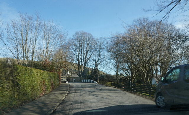
Altizourie Glen is a picturesque valley located in Ayrshire, Scotland. Situated near the village of Straiton, this glen is renowned for its stunning natural beauty and tranquil atmosphere. It stretches for approximately 3 miles, encompassing a variety of landscapes, including rolling hills, dense forests, and meandering streams.

The glen is known for its rich biodiversity, with a wide range of plant and animal species calling it home. The wooded areas are adorned with ancient oak trees, providing a habitat for numerous bird species, including woodpeckers and owls. The streams that flow through the glen are teeming with fish, adding to its ecological significance.

Altizourie Glen offers a plethora of outdoor activities for nature enthusiasts and adventurers alike. There are several walking trails that wind through the glen, offering breathtaking views of the surrounding countryside. These trails cater to all levels of fitness, making it accessible to both experienced hikers and casual walkers.

One of the most popular attractions in Altizourie Glen is the Altizourie Falls. These cascading waterfalls, formed by the Altizourie Burn, create a spectacle of natural beauty. Visitors can enjoy the sight and sound of rushing water as they relax in the peaceful surroundings.

Overall, Altizourie Glen is a hidden gem in Ayrshire, offering a haven of tranquility and natural beauty. Whether visitors are seeking a peaceful retreat or an outdoor adventure, this valley provides an idyllic setting for all.

If you have any feedback on the listing, please let us know in the comments section below.

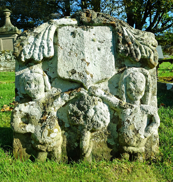
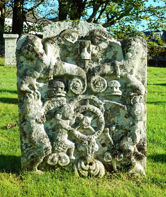
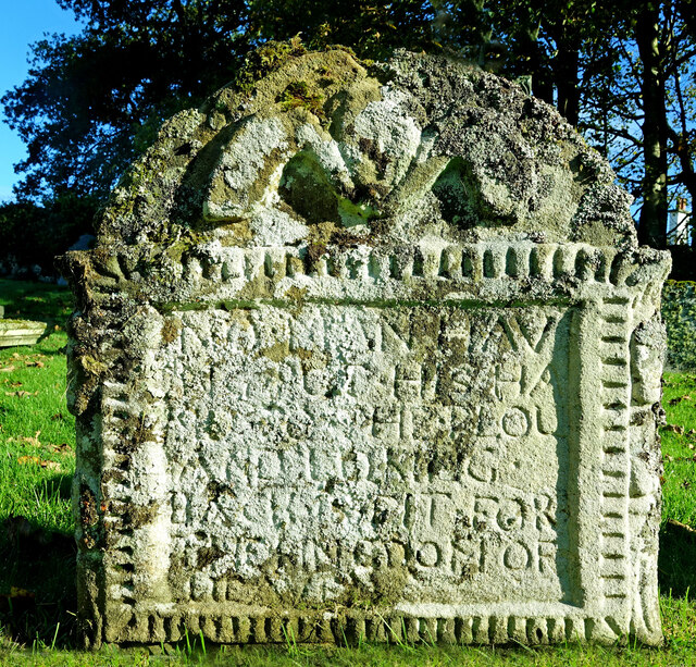
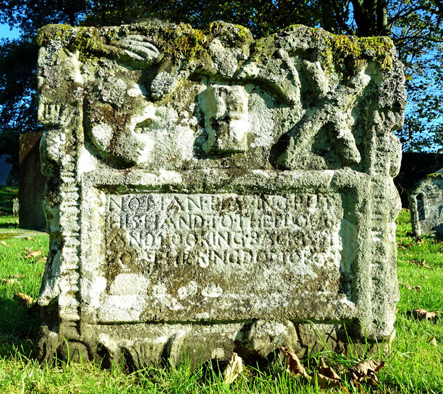
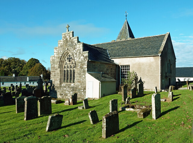
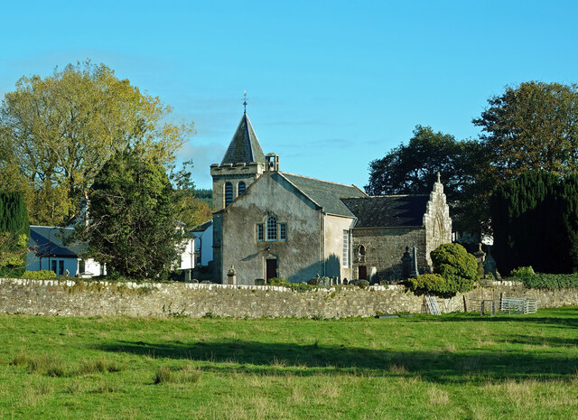
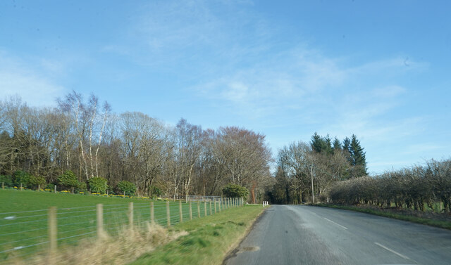
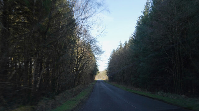
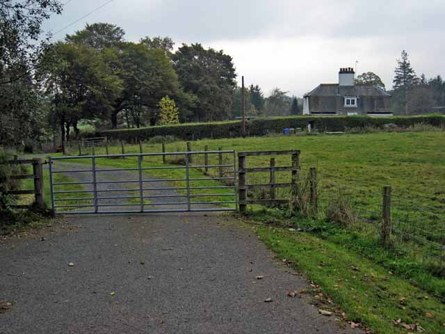
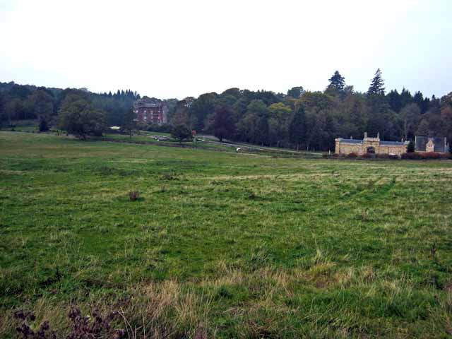
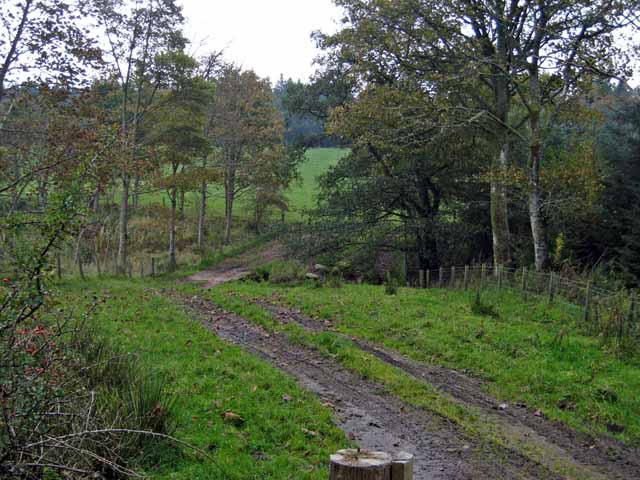
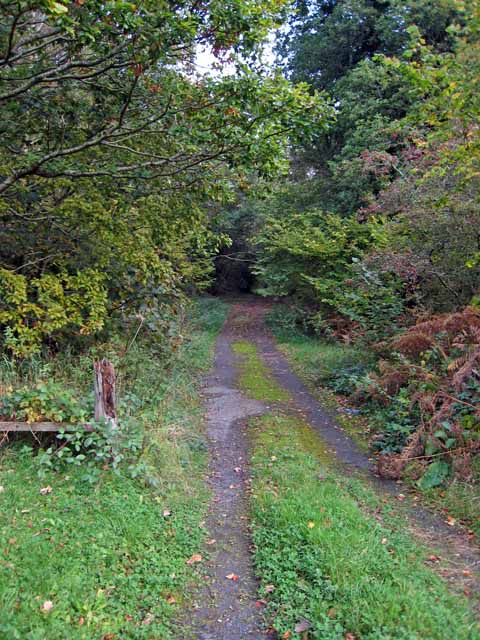
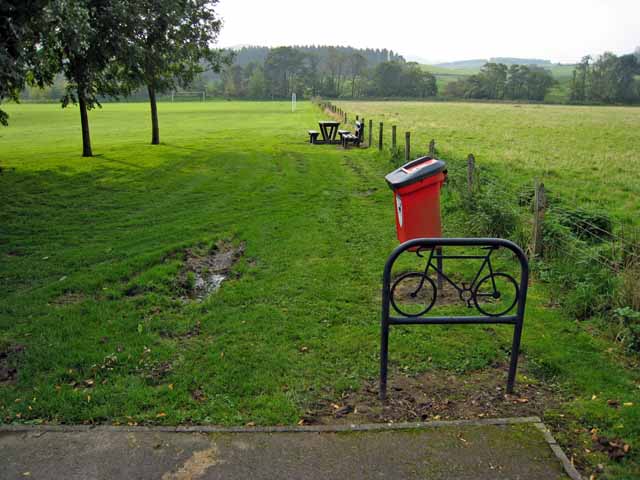
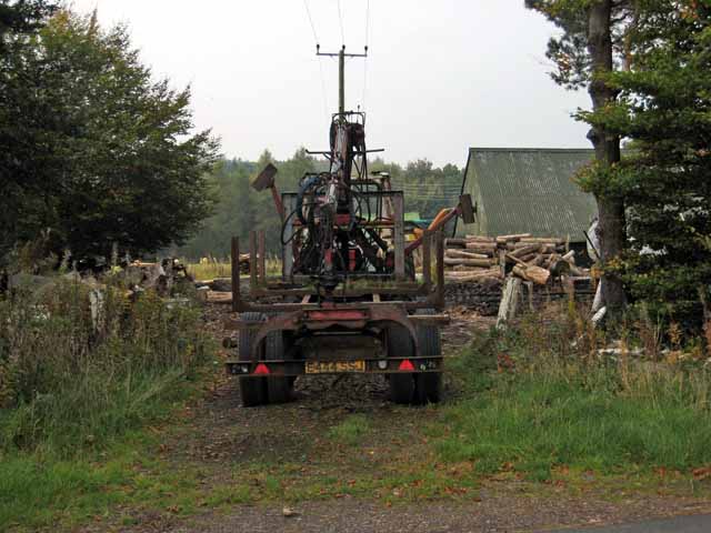
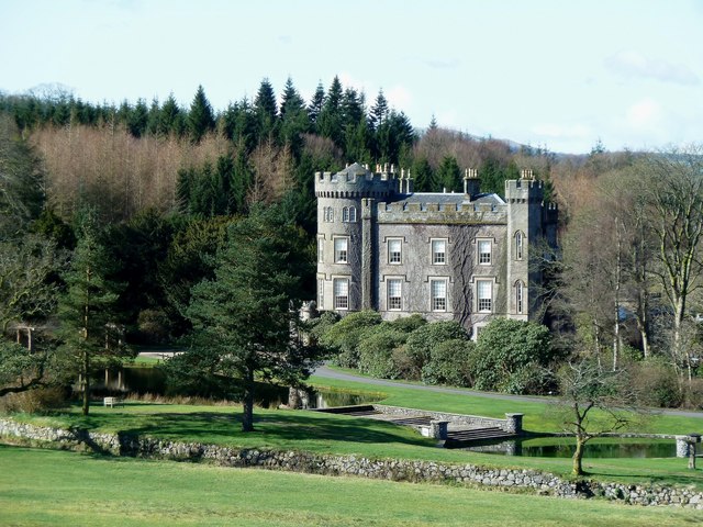
Altizourie Glen Images

Images are sourced within 2km of 55.326108/-4.5655626 or Grid Reference NS3706. Thanks to Geograph Open Source API. All images are credited.

In the Garden of Eden at Straiton There has been a lot of lichen growth on this well-known old stone since the 2008 photo was taken and the lower part is no longer visible. See <a href="https://www.geograph.org.uk/photo/991771">NS3804 : An old gravestone in St Cuthbert's Parish Church</a>. The carving shows Adam and Eve beside the Tree of Life with the serpent twined round the trunk. Old Scottish graveyards contain forty-five examples of Adam & Eve stones, representing the first indication of man’s mortality in the Bible.
In the Garden of Eden at Straiton
There has been a lot of lichen growth on this well-known old stone since the 2008 photo was taken and the lower part is no longer visible. See NS3804 : An old gravestone in St Cuthbert's Parish Church. The carving shows Adam and Eve beside the Tree of Life with the serpent twined round the trunk. Old Scottish graveyards contain forty-five examples of Adam & Eve stones, representing the first indication of man’s mortality in the Bible.
A miller’s gravestone A closer look at <a href="https://www.geograph.org.uk/photo/4804710">NS3804 : Stones in Straiton Graveyard</a> showing a figure working cogged wheels.
A miller’s gravestone
A closer look at NS3804 : Stones in Straiton Graveyard showing a figure working cogged wheels.
Another farmer’s grave at Straiton A closer look at the left-hand stone in <a href="https://www.geograph.org.uk/photo/4804729">NS3804 : Farmers' Graves at Straiton</a> showing a crudely carved winged soul above the inscription.
Another farmer’s grave at Straiton
A closer look at the left-hand stone in NS3804 : Farmers' Graves at Straiton showing a crudely carved winged soul above the inscription.
A farmer’s grave at Straiton A closer look at the right-hand stone in <a href="https://www.geograph.org.uk/photo/4804729">NS3804 : Farmers' Graves at Straiton</a> which shows a crudely carved winged soul above the inscription. There’s also a grotesque skull on the left, crossed bones on the right and an hour-glass in the middle to remind observers that their time is running out too. The carvings on the lower section are obscured by the grass.
A farmer’s grave at Straiton
A closer look at the right-hand stone in NS3804 : Farmers' Graves at Straiton which shows a crudely carved winged soul above the inscription. There’s also a grotesque skull on the left, crossed bones on the right and an hour-glass in the middle to remind observers that their time is running out too. The carvings on the lower section are obscured by the grass.
Straiton Church and graveyard There was a parish church here in medieval times but most of the current building was erected in 1758 with restoration work undertaken in 1901. The cross on the south-facing gable holds a small carving of the Carrick Cross <a href="https://www.geograph.org.uk/photo/6808777">NS3804 : The Carrick Cross on Straiton church roof</a>. The graveyard contains several interesting old symbolic stones, including a fine Adam & Eve stone. <a href="https://www.geograph.org.uk/photo/7010960">NS3804 : In the Garden of Eden at Straiton</a>
Straiton Church and graveyard
There was a parish church here in medieval times but most of the current building was erected in 1758 with restoration work undertaken in 1901. The cross on the south-facing gable holds a small carving of the Carrick Cross NS3804 : The Carrick Cross on Straiton church roof. The graveyard contains several interesting old symbolic stones, including a fine Adam & Eve stone. NS3804 : In the Garden of Eden at Straiton
Straiton Church view An unusual view of Straiton Church taken from the adjoining field. There was a parish church here in medieval times but most of the current building was erected in 1758 with restoration work undertaken in 1901. The graveyard contains several interesting old symbolic stones.
Straiton Church view
An unusual view of Straiton Church taken from the adjoining field. There was a parish church here in medieval times but most of the current building was erected in 1758 with restoration work undertaken in 1901. The graveyard contains several interesting old symbolic stones.
Near Drumfad I think Drumfad is the name of a farm. We are also close to Cloncaird Castle.
Near Drumfad
I think Drumfad is the name of a farm. We are also close to Cloncaird Castle.
Deep shadow between the woods Dark shadow with a 'V' of bright sunlight played havoc with the camera light meter.
Deep shadow between the woods
Dark shadow with a 'V' of bright sunlight played havoc with the camera light meter.
Near Littleton Bridge Running down the hill towards a place named Littleton Bridge.
Near Littleton Bridge
Running down the hill towards a place named Littleton Bridge.
Entering Straiton Another small village we entered to go and see the former headmasters house  of one of our friends former schools.
Entering Straiton
Another small village we entered to go and see the former headmasters house of one of our friends former schools.
Straiton Village A small village with houses typical of the area.
Straiton Village
A small village with houses typical of the area.
Covenanter's Grave The grave of Thomas McHaffie, Covenanter, in Straiton kirkyard.
Covenanter's Grave
The grave of Thomas McHaffie, Covenanter, in Straiton kirkyard.
House on the Cloncaird Castle estate
Distant view of Cloncaird Castle The "Castle" on the left dates back in part to the 16th century. <span class="nowrap"><a title="http://www.ntsayrshire.org.uk/HistInt-CloncairdCastle.php" rel="nofollow ugc noopener" href="http://www.ntsayrshire.org.uk/HistInt-CloncairdCastle.php">Link</a><img style="margin-left:2px;" alt="External link" title="External link - shift click to open in new window" src="https://s1.geograph.org.uk/img/external.png" width="10" height="10"/></span>
Distant view of Cloncaird Castle
The "Castle" on the left dates back in part to the 16th century. LinkExternal link
Farm road near Straiton
Woodland track near Cloncaird Castle
Recreation ground at Straiton Complete with picnic table and cycle park, next to the village car park. Straiton advertises itself as a good centre for rambling.
Recreation ground at Straiton
Complete with picnic table and cycle park, next to the village car park. Straiton advertises itself as a good centre for rambling.
Sawmill at Milton, Straiton
Show me another place!

Altizourie Glen is located at Grid Ref: NS3706 (Lat: 55.326108, Lng: -4.5655626)

Unitary Authority: South Ayrshire

Police Authority: Ayrshire

What 3 Words

///stickler.amid.trace. Near Patna, East Ayrshire

Related Wikis

Blairquhan Castle

Blairquhan ( blair-WHAHN, Scots: Blairwhan) is a Regency era castle near Maybole in South Ayrshire, Scotland. It was the historic home of the Hunter-Blair...

Cloncaird Castle

Cloncaird Castle is located near the small village of Kirkmichael, around 6 kilometres (3.7 mi) east of Maybole in South Ayrshire, Scotland. The castle...
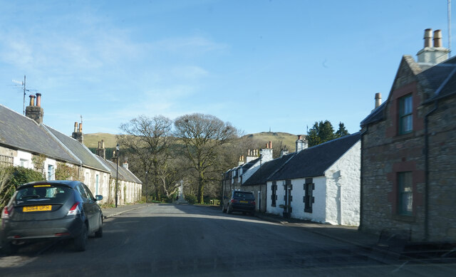
Straiton

Straiton is a village on the River Girvan in South Ayrshire in Scotland. It lies in the hills between Kirkmichael, Dalmellington, Crosshill, and Maybole...

Kirkmichael, South Ayrshire

Kirkmichael (Gaelic: Cille Mhìcheil, "the church of St Michael") is a village in South Ayrshire, Scotland, located between Patna, Maybole and Straiton...

Ayr, Carrick and Cumnock (UK Parliament constituency)

Ayr, Carrick, and Cumnock is a county constituency represented in the House of Commons of the Parliament of the United Kingdom. It was created for the...

Crosshill, South Ayrshire

Crosshill is a small village in South Ayrshire, Scotland.Crosshill has a primary school. == References ==

Drunmore Linn

Drunmore Linn is a waterfall of Scotland, near Straiton, South Ayrshire. == See also == Waterfalls of Scotland == References ==

Patna, East Ayrshire

Patna is a village in East Ayrshire, Scotland, straddling the traditional districts of Carrick and Kyle.It was established in 1802 by William Fullarton...

Nearby Amenities

Located within 500m of 55.326108,-4.5655626
Power: pole
Lat/Long: 55.3295136/-4.5699342
Power: pole
Lat/Long: 55.3291483/-4.5689521
Power: pole
Lat/Long: 55.3287266/-4.5678189
Power: pole
Lat/Long: 55.3283117/-4.5666904
Power: pole
Lat/Long: 55.3278994/-4.5656044
Power: pole
Lat/Long: 55.3272319/-4.5660837
Power: pole
Lat/Long: 55.3265979/-4.5665629
Power: pole
Lat/Long: 55.3261426/-4.5668934
Power: pole
Lat/Long: 55.3259251/-4.5670516
Power: pole
Lat/Long: 55.3257599/-4.5680573
Power: pole
Lat/Long: 55.3255906/-4.5690536
Power: pole
Lat/Long: 55.3254509/-4.5698988
Power: pole
Lat/Long: 55.3251917/-4.571405
The data included in this document is from www.openstreetmap.org. The data is made available under ODbL.

Have you been to Altizourie Glen?

Leave your review of Altizourie Glen below (or comments, questions and feedback).