Auchmountain Glen
Valley in Renfrewshire
Scotland
Auchmountain Glen
Auchmountain Glen is a picturesque valley situated in Renfrewshire, Scotland. With its stunning natural beauty and tranquil atmosphere, it has become a popular destination for nature lovers and outdoor enthusiasts.
The glen is nestled between rolling hills and dense forests, creating a breathtaking backdrop for visitors. Its location, just a few miles from the town of Paisley, makes it easily accessible to both locals and tourists. The valley is encompassed by the River Gryffe, which meanders through the glen, adding to its charm.
The glen is known for its rich biodiversity, with a wide variety of plant and animal species calling it home. It boasts a diverse range of flora, including ancient oak trees, wildflowers, and moss-covered rocks. The glen is also a haven for wildlife, with red squirrels, badgers, and numerous bird species frequently spotted by visitors.
There are several well-maintained walking trails that wind through Auchmountain Glen, providing opportunities for exploration and relaxation. The trails offer stunning views of the surrounding landscape, including the nearby Kilpatrick Hills and the Clyde Valley.
For those seeking a peaceful retreat, Auchmountain Glen is the perfect escape. Its idyllic setting, combined with the sounds of the flowing river and the gentle rustling of leaves, creates a serene atmosphere that allows visitors to connect with nature and find solace in its beauty.
Overall, Auchmountain Glen in Renfrewshire is a true gem, offering visitors a chance to immerse themselves in the natural wonders of Scotland's landscape.
If you have any feedback on the listing, please let us know in the comments section below.
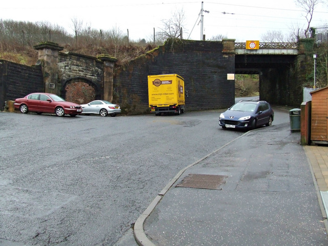
Auchmountain Glen Images
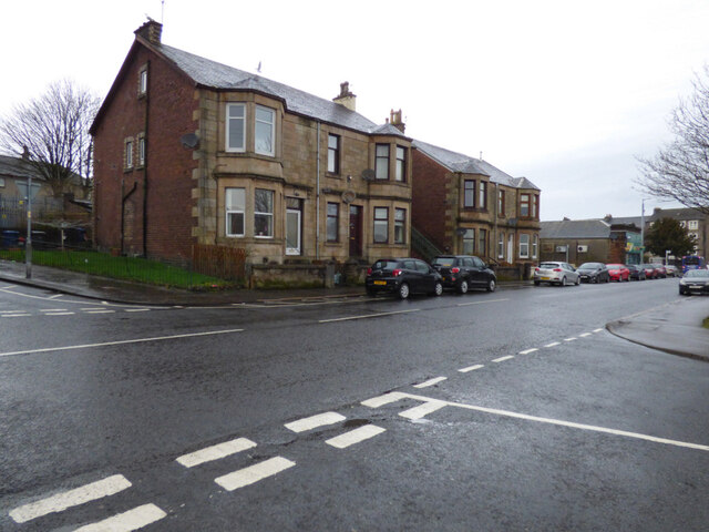
Images are sourced within 2km of 55.934187/-4.7468304 or Grid Reference NS2874. Thanks to Geograph Open Source API. All images are credited.


Auchmountain Glen is located at Grid Ref: NS2874 (Lat: 55.934187, Lng: -4.7468304)
Unitary Authority: Inverclyde
Police Authority: Renfrewshire and Inverclyde
What 3 Words
///erase.fire.kinks. Near Greenock, Inverclyde
Nearby Locations
Related Wikis

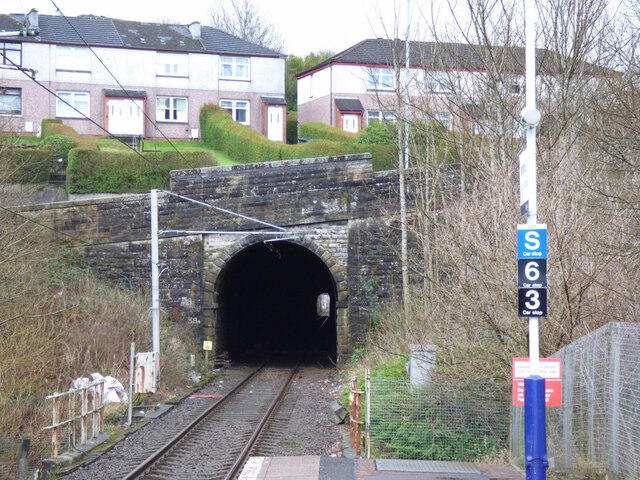
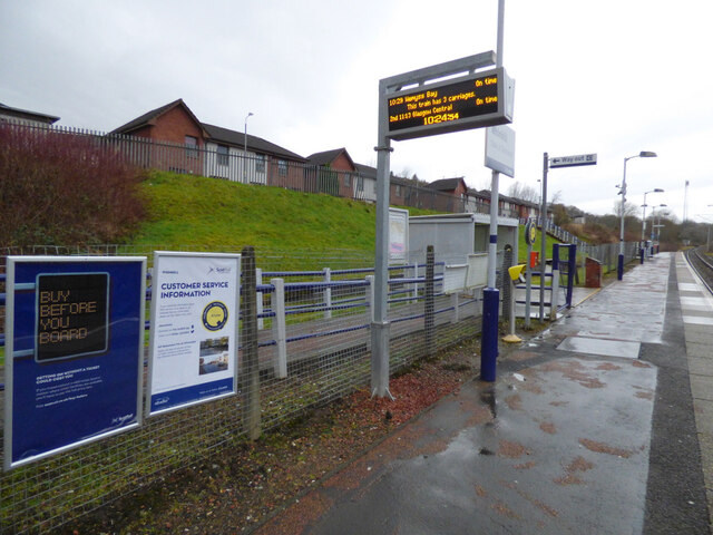
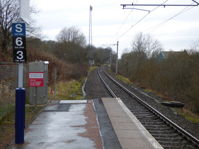
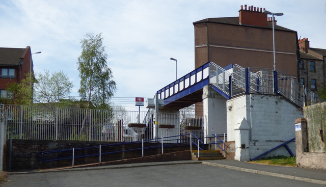
Whinhill railway station
Whinhill railway station is a railway station located in the east of the town of Greenock, Inverclyde, Scotland. The station is managed by ScotRail and...

Easter Greenock Castle
Easter Greenock Castle was a castle of unknown design near the burgh of Greenock, Scotland. == History == === Construction and location === Built sometime...
Cartsdyke
Cartsdyke (Scots: Cairstdyke, Scottish Gaelic: Gàradh Cairte), formerly known as Crawfurdsdyke, is a suburb of the town of Greenock, Scotland.Crawfurdsdyke...
Upper Greenock railway station
Upper Greenock railway station was a railway station serving the town of Greenock, Inverclyde, Scotland, originally as part of the Greenock and Wemyss...

Lynedoch railway station
Greenock Lynedoch was a railway station serving Greenock, Inverclyde, Scotland, originally as part of the Greenock and Ayrshire Railway. == History... ==

Greenock Central railway station
Greenock Central station is one of eight railway stations serving the town of Greenock in western Scotland, and is the nearest to the town centre. This...

Cartsdyke railway station
Cartsdyke railway station serves part of the town of Greenock, Scotland. The station is on the Inverclyde Line, 22 miles (35 km) west of Glasgow Central...

Wellington Academy
Wellington Academy was a secondary school at Dempster Street in Greenock, Scotland serving the Eastern and Central areas of the town. In 2007 it merged...
Nearby Amenities
Located within 500m of 55.934187,-4.7468304Have you been to Auchmountain Glen?
Leave your review of Auchmountain Glen below (or comments, questions and feedback).