Ghaist Glen

Valley in Ayrshire

Scotland

Ghaist Glen

Black Glen
Black Glen Credit: Oliver Dixon

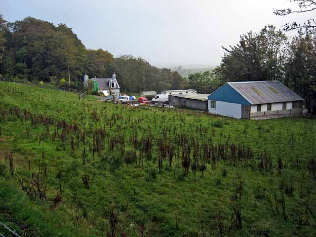
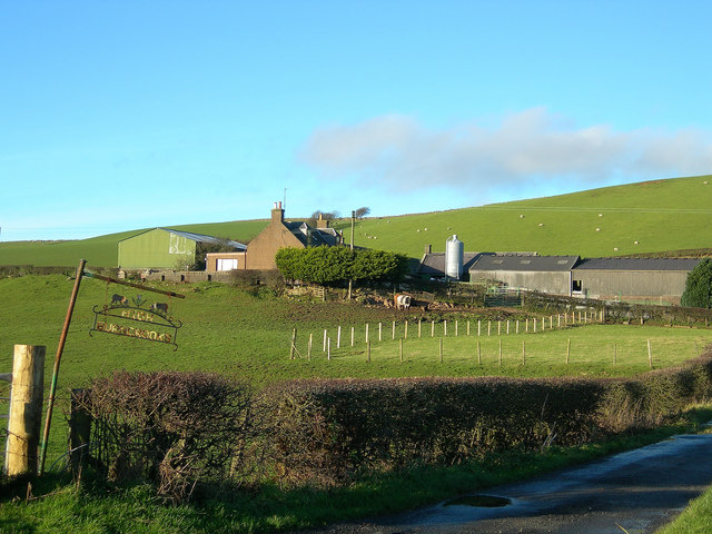
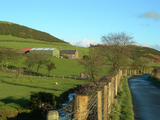
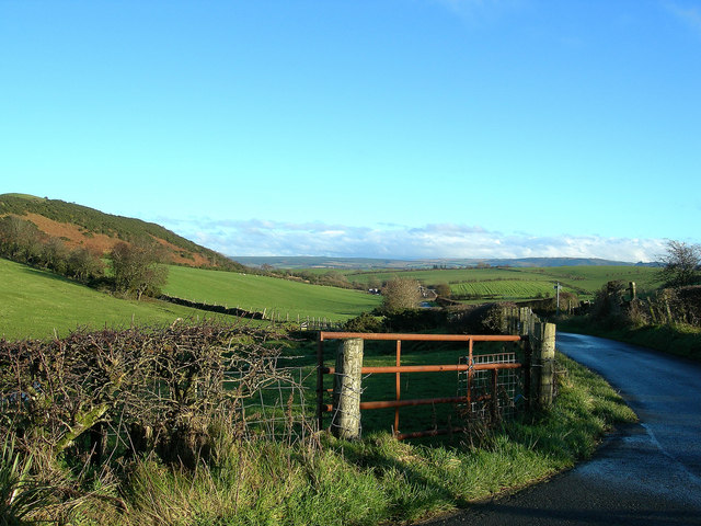
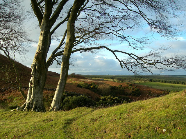
Ghaist Glen is a picturesque valley located in the region of Ayrshire, Scotland. Nestled between rolling hills and surrounded by lush greenery, this hidden gem offers a tranquil and serene experience for nature enthusiasts and hikers alike.

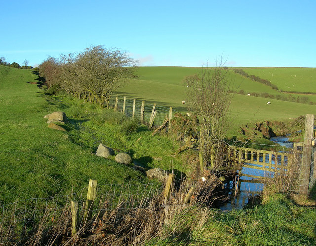
The glen stretches over several miles and features a meandering river that adds to the enchanting atmosphere. The river is known to be teeming with various species of fish, making it a favorite spot for anglers. The sound of the flowing water and the gentle rustle of the leaves create a soothing ambiance that helps visitors unwind and connect with nature.

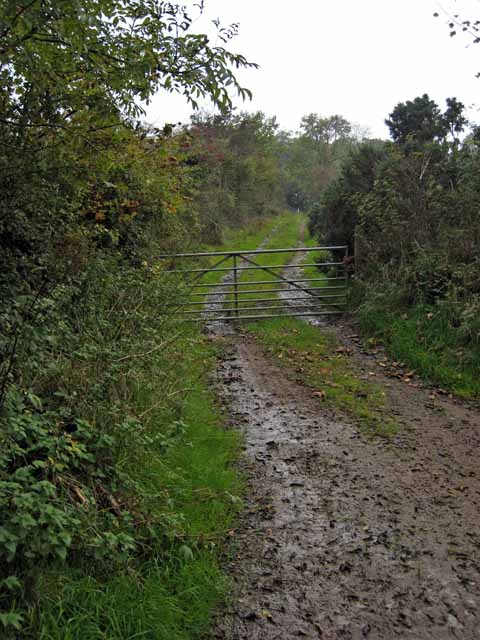
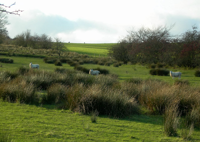
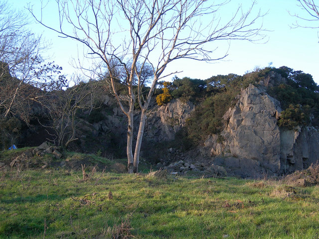
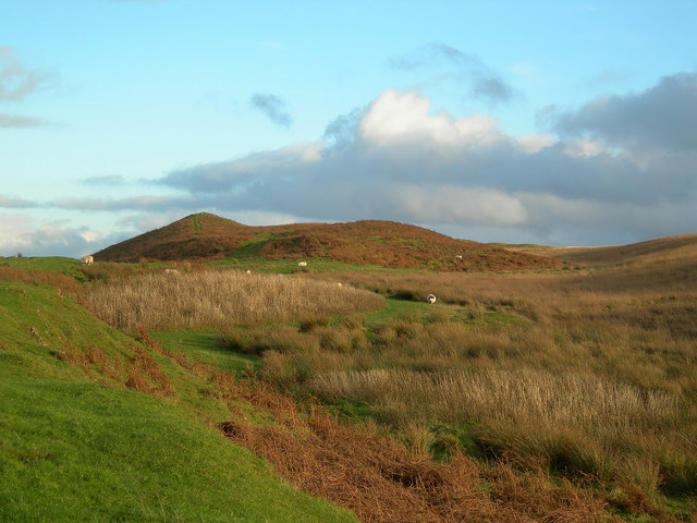
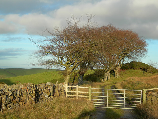
The landscape of Ghaist Glen is diverse, with dense woodlands, open meadows, and rocky outcrops. Walking trails wind their way through the glen, providing opportunities for exploration and discovery. Along the paths, visitors may encounter an array of wildlife, including deer, rabbits, and an assortment of bird species.

One of the highlights of Ghaist Glen is the stunning waterfall located towards the end of the valley. Cascading from a great height, the waterfall is a sight to behold and a favorite subject for photographers. During heavy rainfall, the waterfall becomes even more impressive, as the volume of water increases dramatically.

Ghaist Glen offers a peaceful retreat from the hustle and bustle of everyday life. Its natural beauty, combined with the tranquility it exudes, make it a perfect destination for those seeking solace in nature. Whether it's for a leisurely stroll, a picnic, or an adventure-filled hike, Ghaist Glen is a must-visit location for anyone exploring the scenic wonders of Ayrshire.

If you have any feedback on the listing, please let us know in the comments section below.

Ghaist Glen Images

Images are sourced within 2km of 55.31907/-4.7042669 or Grid Reference NS2806. Thanks to Geograph Open Source API. All images are credited.

Black Glen
Black Glen
Farm road to Craigfin Off the High Road from Maybole to Dailly
Farm road to Craigfin
Off the High Road from Maybole to Dailly
Kildoon Hill
Kildoon Hill
Lochspouts from Craigfin Hill Lochspouts formerly provided the first piped water supply for the Maybole area, replacing the original wells. For a mid-March view, see <a href="https://www.geograph.org.uk/photo/3889240">NS2905 : Lochspouts From Craigfin Hill Again</a>
Lochspouts from Craigfin Hill
Lochspouts formerly provided the first piped water supply for the Maybole area, replacing the original wells. For a mid-March view, see NS2905 : Lochspouts From Craigfin Hill Again
High Burncrooks Farm Located on the southern slopes of Knockbrake Hill.
High Burncrooks Farm
Located on the southern slopes of Knockbrake Hill.
High Burncrooks The hills in the background are Knockbrake, on the left and Kildoon, on the right.
High Burncrooks
The hills in the background are Knockbrake, on the left and Kildoon, on the right.
From High Burncrooks Looking east from the farm road end, towards Kildoon Hill on the left.
From High Burncrooks
Looking east from the farm road end, towards Kildoon Hill on the left.
Water gate Between Altewan and High Burncrooks.
Water gate
Between Altewan and High Burncrooks.
Sheep on Rough Grazing
Old Quarry Looking west from the Low Burncrooks road on a fine November afternoon. For a better view, see <a href="https://www.geograph.org.uk/photo/3889318">NS2906 : Knockmill Quarry</a>
Old Quarry
Looking west from the Low Burncrooks road on a fine November afternoon. For a better view, see NS2906 : Knockmill Quarry
Towards Craigfin Hill Looking east from the Craigdow Farm track.
Towards Craigfin Hill
Looking east from the Craigdow Farm track.
Towards Craigdow Farm Looking through the windswept beech trees towards Craigdow Farm on a fine November afternoon.
Towards Craigdow Farm
Looking through the windswept beech trees towards Craigdow Farm on a fine November afternoon.
The Craigdow track A fine stand of windswept beech trees on the road to Craigdow Farm.
The Craigdow track
A fine stand of windswept beech trees on the road to Craigdow Farm.
Wood near Leffinwyne Forestry and arable land, east of Leffinwyne farm.
Wood near Leffinwyne
Forestry and arable land, east of Leffinwyne farm.
Craigdow Forest Broad grassy track winding through the forest.
Craigdow Forest
Broad grassy track winding through the forest.
Power through the fire break This gap through the forest serves as a fire break as well as keeping the power lines clear of the trees.
Power through the fire break
This gap through the forest serves as a fire break as well as keeping the power lines clear of the trees.
Fox in the forest A young fox suspiciously eyeing a Geographer.
Fox in the forest
A young fox suspiciously eyeing a Geographer.
Show me another place!

Ghaist Glen is located at Grid Ref: NS2806 (Lat: 55.31907, Lng: -4.7042669)

Unitary Authority: South Ayrshire

Police Authority: Ayrshire

What 3 Words

///locker.outnumber.loosed. Near Maybole, South Ayrshire

Nearby Locations

Sunny Brae Ghaist Glen

Related Wikis

Lochspouts

Lochspouts Loch (NS 2885 0586) or Lochspouts was situated in a hollow, surrounded by hilly ground on three sides and bounded by a narrow trap dyke to the...

Kilkerran railway station

Kilkerran railway station served an area of rural Ayrshire, Scotland from 1860 to 1965 on the Maybole and Girvan Railway. == History == The station opened...

Crossraguel Abbey

The Abbey of Saint Mary of Crossraguel is a ruin of a former abbey near the town of Maybole, South Ayrshire, Scotland. Although it is a ruin, visitors...

Crosshill railway station (Ayr)

Crosshill railway station served the village of Crosshill, South Ayrshire, Scotland, from 1860 to 1862 on the Maybole and Girvan Railway. == History... ==

Baltersan Castle

Baltersan Castle is a ruined L-plan tower house located near Maybole, South Ayrshire, Scotland. It was originally graded as a Category B listed building...

A77 road

The A77 road is a major road in Scotland. It runs in a southwesterly direction from the city of Glasgow, past the towns of Giffnock, Newton Mearns, Kilmarnock...

Carrick Academy

Carrick Academy (Scottish Gaelic: Acadamaidh Charraig) is a state-run secondary school, administered by South Ayrshire Council and situated in the Maybole...

Kilkerran House

Kilkerran House is an 18th-century private house near Maybole, Ayrshire, Scotland. It is a category A listed building set within grounds included in the...

Nearby Amenities

Located within 500m of 55.31907,-4.7042669
Power: pole
Lat/Long: 55.3231958/-4.7045331
Power: pole
Lat/Long: 55.3224517/-4.7044528
Power: pole
Lat/Long: 55.3217639/-4.7043702
Power: pole
Lat/Long: 55.3210735/-4.7042876
Power: pole
Lat/Long: 55.3204261/-4.7042167
Power: pole
Lat/Long: 55.3198444/-4.7041318
Power: pole
Lat/Long: 55.3192843/-4.7040727
Power: pole
Lat/Long: 55.3185495/-4.7039665
Power: pole
Lat/Long: 55.3180484/-4.7039193
Power: pole
Lat/Long: 55.3175567/-4.7038579
Power: pole
Lat/Long: 55.3201641/-4.7052626
Power: pole
Lat/Long: 55.319921/-4.7063061
Power: pole
Lat/Long: 55.3196523/-4.7073991
Power: pole
Lat/Long: 55.3194052/-4.7084285
Power: pole
Lat/Long: 55.3191486/-4.7094767
Power: pole
Lat/Long: 55.3188772/-4.7105768
Power: pole
Lat/Long: 55.318622/-4.7116274
The data included in this document is from www.openstreetmap.org. The data is made available under ODbL.

Have you been to Ghaist Glen?

Leave your review of Ghaist Glen below (or comments, questions and feedback).