Auchie Glen

Valley in Wigtownshire

Scotland

Auchie Glen

Maryport Caravan Park Viewed from the Mull of Galloway.
Maryport Caravan Park Credit: Billy McCrorie

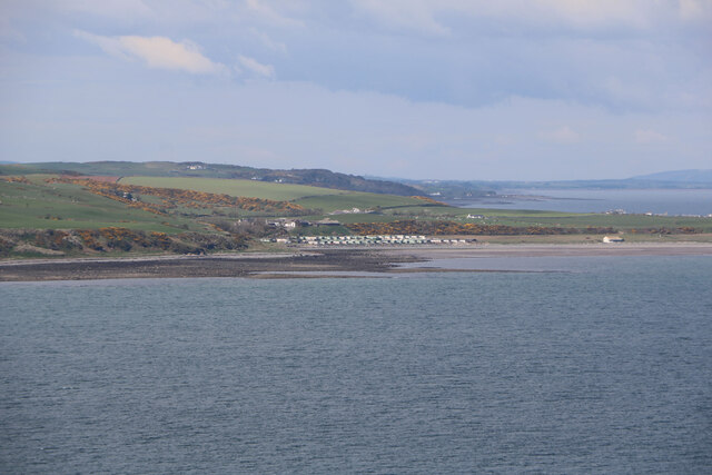
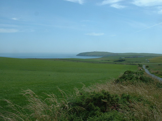
Auchie Glen is a picturesque valley located in Wigtownshire, Scotland. Nestled between rolling hills and surrounded by stunning natural beauty, it is a haven for nature enthusiasts and hikers alike. The glen is situated approximately 4 miles northeast of the town of Wigtown.

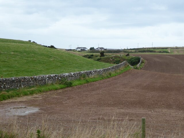
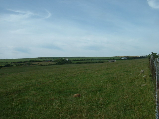
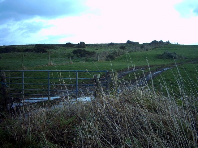
The valley is known for its tranquil atmosphere and idyllic surroundings. It is home to a wide variety of flora and fauna, including native Scottish wildlife such as red deer, otters, and various bird species. The glen is crisscrossed by gentle streams and small cascades, adding to its charm and allure.

Auchie Glen offers numerous walking trails, ranging from leisurely strolls to more challenging hikes. Visitors can explore the glen's woodlands, which are particularly breathtaking during the autumn months when the leaves change color. The glen also provides access to the surrounding hills, offering panoramic views of the surrounding countryside.

History enthusiasts will be interested to learn that Auchie Glen has historical significance as well. The remains of Auchie Castle, a 16th-century tower house, can be found within the glen. This castle was once the ancestral seat of the McDowall family and provides a glimpse into the region's rich past.

Overall, Auchie Glen is a hidden gem within Wigtownshire, offering visitors a chance to immerse themselves in the beauty of the Scottish countryside. Whether one is seeking peace and tranquility or an adventure in nature, this valley provides an unforgettable experience.

If you have any feedback on the listing, please let us know in the comments section below.
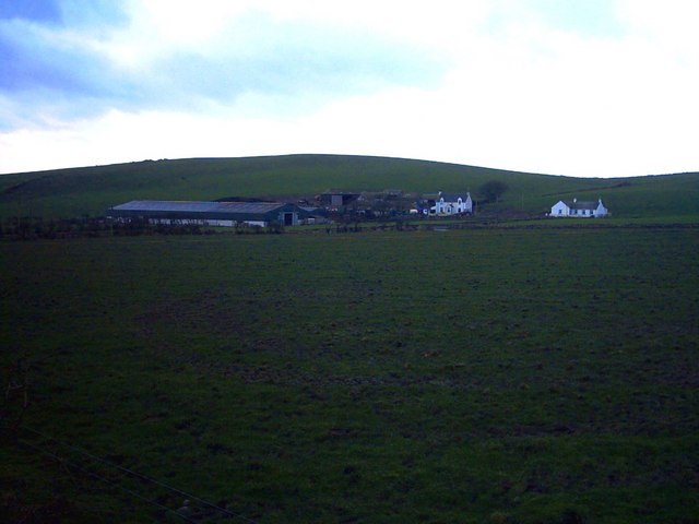
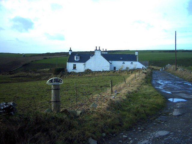
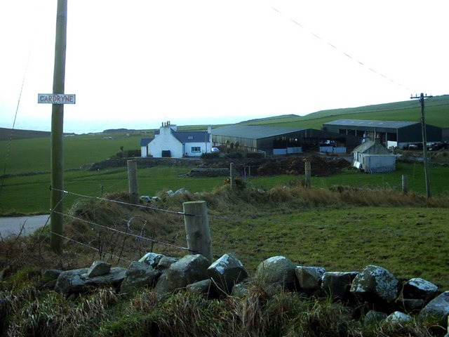
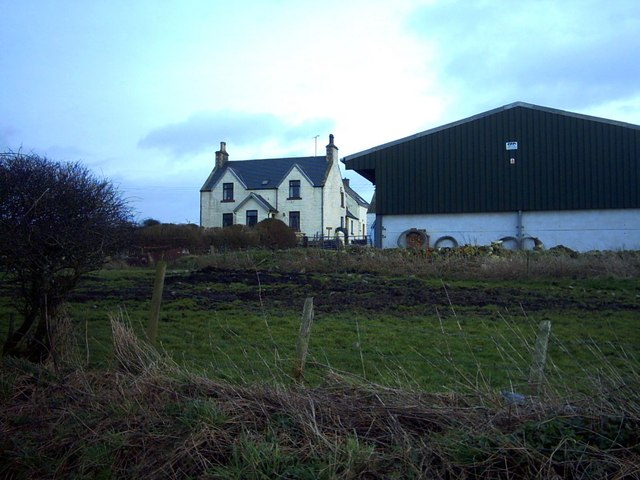
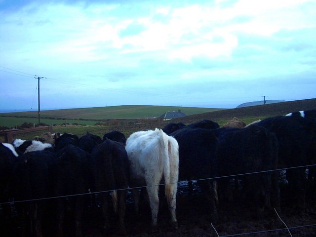
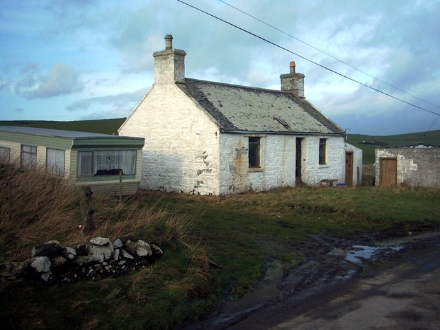
Auchie Glen Images

Images are sourced within 2km of 54.657185/-4.8992204 or Grid Reference NX1332. Thanks to Geograph Open Source API. All images are credited.

Maryport Caravan Park Viewed from the Mull of Galloway.
Maryport Caravan Park
Viewed from the Mull of Galloway.
View west from Barracks Bridge East Cairngaan on the horizon.
View west from Barracks Bridge
East Cairngaan on the horizon.
Honey for Sale At Castlemoor on road to Mull of Galloway.
Honey for Sale
At Castlemoor on road to Mull of Galloway.
Wall This picture was taken looking SE from NX141313. The dry stone wall typical of this area is clearly shown. In the distance can be seen the Mull of Galloway Lighthouse.
Wall
This picture was taken looking SE from NX141313. The dry stone wall typical of this area is clearly shown. In the distance can be seen the Mull of Galloway Lighthouse.
Fields near Castlemoor Looking south, towards the Mull of Galloway.
Fields near Castlemoor
Looking south, towards the Mull of Galloway.
Cottages at Castlemoor Looking north.
Cottages at Castlemoor
Looking north.
Maryport Caravan Park In the background can faintly be seen The Mull of Galloway and lighthouse.
Maryport Caravan Park
In the background can faintly be seen The Mull of Galloway and lighthouse.
Maryport Caravan Park Set on a sandy beach, the shingle bar is called 'Ringwee'.  The Wigtownshire coast across Luce Bay can faintly be seen on the horizon.
Maryport Caravan Park
Set on a sandy beach, the shingle bar is called 'Ringwee'. The Wigtownshire coast across Luce Bay can faintly be seen on the horizon.
Creechan Moor
Creechan Moor
Mid Muntloch Farm The farm has surely one of the longest barns in existence?  The hill behind the farm is Slewhabble.
Mid Muntloch Farm
The farm has surely one of the longest barns in existence? The hill behind the farm is Slewhabble.
Knowes Farm The Knowes translates as 'the knolls' in the ancient Scottish language.  There is certainly a surfeit of grassy knolls in the area.
Knowes Farm
The Knowes translates as 'the knolls' in the ancient Scottish language. There is certainly a surfeit of grassy knolls in the area.
Cardryne Farm Owing to the decline in profitability of dairy farming Cardryne, like many other local dairy farms, is currently for sale.
Cardryne Farm
Owing to the decline in profitability of dairy farming Cardryne, like many other local dairy farms, is currently for sale.
Knock Knowe 'Knock' is a Scottish variant of 'clock'.  A 'Knowe' is a knoll in the Scottish language.  I have no idea why this hill is so named.  It appears to be a completely featureless, muddy, ploughed object.
Knock Knowe
'Knock' is a Scottish variant of 'clock'. A 'Knowe' is a knoll in the Scottish language. I have no idea why this hill is so named. It appears to be a completely featureless, muddy, ploughed object.
East Muntloch Farm East Muntloch is one of the farms locally to have diversified into offering holiday and B&B accommodation.
East Muntloch Farm
East Muntloch is one of the farms locally to have diversified into offering holiday and B&B accommodation.
Pulinkum Farm and Slewmag Just the roof of buildings on Pulinkum Farm can be seen.  The hill behind is Slewmag, and the Mull of Galloway can be seen in the distance on the right of the picture.
Pulinkum Farm and Slewmag
Just the roof of buildings on Pulinkum Farm can be seen. The hill behind is Slewmag, and the Mull of Galloway can be seen in the distance on the right of the picture.
Knowes Cottage One of many local farm cottages awaiting sympathetic restoration.
Knowes Cottage
One of many local farm cottages awaiting sympathetic restoration.
Port Kemin
Port Kemin
Country Road The end of the road is nigh!  These passing places feature at regular intervals on this single-track road the (eventually) leads to the Mull of Galloway whose lighthouse may be seen in the far distance. Luce Bay is on the left.
Country Road
The end of the road is nigh! These passing places feature at regular intervals on this single-track road the (eventually) leads to the Mull of Galloway whose lighthouse may be seen in the far distance. Luce Bay is on the left.
Show me another place!

Auchie Glen is located at Grid Ref: NX1332 (Lat: 54.657185, Lng: -4.8992204)

Unitary Authority: Dumfries and Galloway

Police Authority: Dumfries and Galloway

What 3 Words

///commenced.rags.volume. Near Drummore, Dumfries & Galloway

Related Wikis

Cairngaan

Cairngaan, Wigtownshire, is the southmost settlement in Scotland. The hamlet of Cairngaan lies just north of the Mull of Galloway (which contains Scotland...

Drummore

Drummore (drum-ORE; (from Gaelic An Druim Mòr meaning "the great ridge") is the southernmost village in Scotland, located at the southern end of the Rhins...

Mull of Galloway

The Mull of Galloway (Scottish Gaelic: Maol nan Gall, pronounced [mɯːlˠ̪ nəŋ ˈkaulˠ̪]; grid reference NX158303) is the southernmost point of Scotland....

Kirkmaiden (village)

Kirkmaiden (sometimes Maidenkirk; Scottish Gaelic: Cill M'Eudan) is a small settlement in Galloway, Scotland, located approximately 17 miles (27 km) south...

Nearby Amenities

Located within 500m of 54.657185,-4.8992204
Generator Method: wind_turbine
Generator Source: wind
Power: generator
Lat/Long: 54.6550396/-4.9054416
Power: pole
Lat/Long: 54.6606727/-4.9035654
Power: pole
Lat/Long: 54.6600522/-4.9038896
Power: pole
Lat/Long: 54.6595437/-4.9041553
Power: pole
Lat/Long: 54.659087/-4.9043958
Power: pole
Lat/Long: 54.6582385/-4.9041145
Power: pole
Lat/Long: 54.6574035/-4.9038118
Power: pole
Lat/Long: 54.6565651/-4.9035092
Power: pole
Lat/Long: 54.6556807/-4.9031871
Power: pole
Lat/Long: 54.6549512/-4.9029291
Power: pole
Lat/Long: 54.6542306/-4.9026671
Power: pole
Lat/Long: 54.6534932/-4.9024033
Power: pole
Lat/Long: 54.6611104/-4.9025236
Power: pole
Lat/Long: 54.6609398/-4.9018561
Power: pole
Lat/Long: 54.660822/-4.9013808
Power: pole
Lat/Long: 54.6606694/-4.900758
Power: pole
Lat/Long: 54.6604864/-4.8999955
Power: pole
Lat/Long: 54.6614168/-4.9014468
Power: pole
Lat/Long: 54.6556038/-4.9042523
Power: pole
Lat/Long: 54.6554927/-4.9056589
The data included in this document is from www.openstreetmap.org. The data is made available under ODbL.

Have you been to Auchie Glen?

Leave your review of Auchie Glen below (or comments, questions and feedback).