Dunan Hill

Hill, Mountain in Wigtownshire

Scotland

Dunan Hill

View west from Barracks Bridge East Cairngaan on the horizon.
View west from Barracks Bridge Credit: Russel Wills

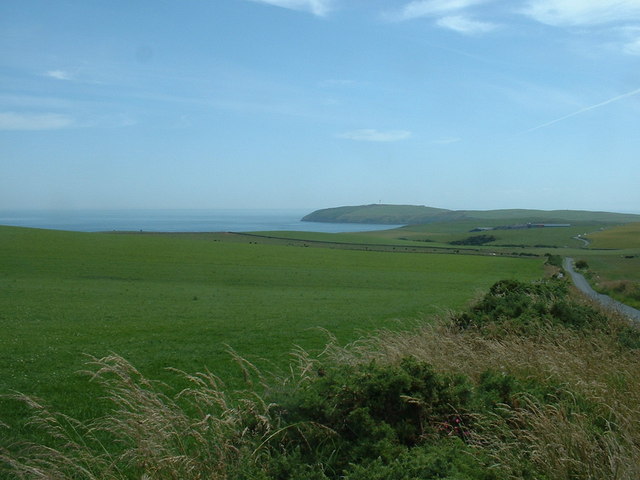
Dunan Hill is a prominent landmark located in Wigtownshire, Scotland. Rising to an elevation of approximately 217 meters (712 feet), it is classified as a hill rather than a mountain. The hill is situated about 3 kilometers (1.8 miles) northeast of the village of Port William, and it offers stunning panoramic views of the surrounding countryside and the Irish Sea.

Dunan Hill is known for its distinctive shape, resembling an inverted cone. It is composed mainly of sedimentary rock, including sandstone and shale, which gives it a rugged appearance. The hill is covered in a mixture of grasses, heather, and wildflowers, providing a picturesque setting for outdoor enthusiasts and nature lovers.

The summit of Dunan Hill is accessible via a well-maintained footpath that winds its way up the hillside. The climb is moderate in difficulty, making it suitable for walkers of various fitness levels. As visitors ascend, they are treated to breathtaking vistas of the rolling hills, farmland, and coastal scenery.

At the summit, a trig point marks the highest point of Dunan Hill, allowing visitors to pinpoint their location and take in the 360-degree views. On a clear day, it is possible to see the Isle of Man and the Galloway Hills in the distance.

Dunan Hill is a popular destination for hikers, photographers, and those seeking a peaceful escape in nature. Its location in the heart of Wigtownshire makes it easily accessible from nearby towns and villages, ensuring it remains a favorite spot for locals and tourists alike.

If you have any feedback on the listing, please let us know in the comments section below.

Dunan Hill Images

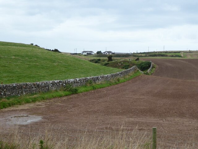
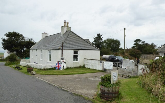
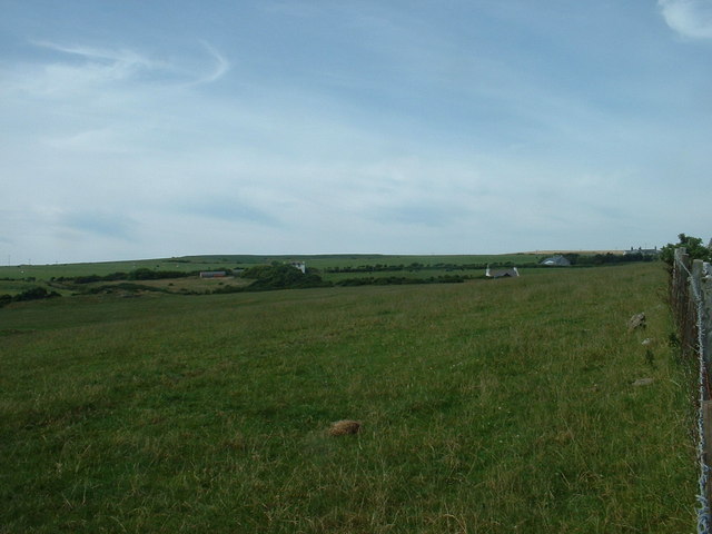
Images are sourced within 2km of 54.650933/-4.8926042 or Grid Reference NX1332. Thanks to Geograph Open Source API. All images are credited.
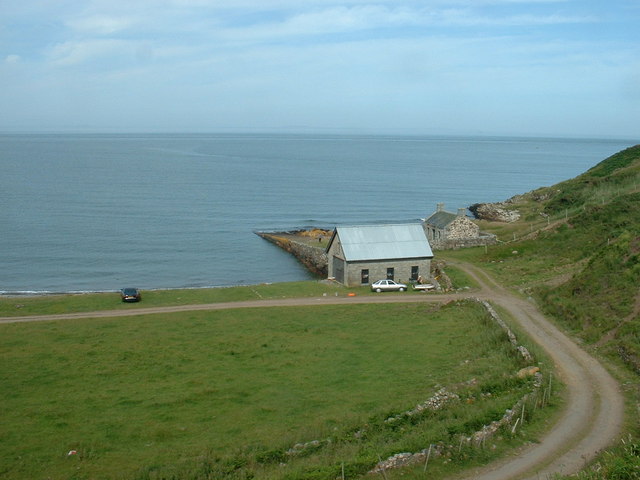
View west from Barracks Bridge East Cairngaan on the horizon.
View west from Barracks Bridge
East Cairngaan on the horizon.
Honey for Sale At Castlemoor on road to Mull of Galloway.
Honey for Sale
At Castlemoor on road to Mull of Galloway.
Refurbishing old buildings At East Tarbet Quay on the Mull of Galloway.
Refurbishing old buildings
At East Tarbet Quay on the Mull of Galloway.
East Tarbet, Mull of Galloway Camping on the grass above the beach.
East Tarbet, Mull of Galloway
Camping on the grass above the beach.
Youchtrie Heugh footpath Above the northern cliffs of West Tarbet.
Note the rusting boiler from an old wreck that did not clear the Mull of Galloway!
Youchtrie Heugh footpath
Above the northern cliffs of West Tarbet. Note the rusting boiler from an old wreck that did not clear the Mull of Galloway!
Wall This picture was taken looking SE from NX141313. The dry stone wall typical of this area is clearly shown. In the distance can be seen the Mull of Galloway Lighthouse.
Wall
This picture was taken looking SE from NX141313. The dry stone wall typical of this area is clearly shown. In the distance can be seen the Mull of Galloway Lighthouse.
Fields near Castlemoor Looking south, towards the Mull of Galloway.
Fields near Castlemoor
Looking south, towards the Mull of Galloway.
Cottages at Castlemoor Looking north.
Cottages at Castlemoor
Looking north.
Cottage and Quay On the eastern, Luce Bay, side of the Mull of Galloway.  The cottage appears intact from this angle, but the other side of the roof is missing.
Cottage and Quay
On the eastern, Luce Bay, side of the Mull of Galloway. The cottage appears intact from this angle, but the other side of the roof is missing.
East Tarbet This is the 'neck' of the Mull of Galloway. A tarbet is a place where a boat could be dragged from one side of a headland or island to the other [which is probably not done much these days]. This side is on Luce Bay, the point on the other side of the headland is on the Irish Sea and is called, somewhat predictably, West Tarbet.
East Tarbet
This is the 'neck' of the Mull of Galloway. A tarbet is a place where a boat could be dragged from one side of a headland or island to the other [which is probably not done much these days]. This side is on Luce Bay, the point on the other side of the headland is on the Irish Sea and is called, somewhat predictably, West Tarbet.
East Tarbet Quay, Mull of Galloway A swimmer was rescued and treated for hypothermia after trying to swim out to his boat.  The currents hereabouts are notoriously treacherous.
East Tarbet Quay, Mull of Galloway
A swimmer was rescued and treated for hypothermia after trying to swim out to his boat. The currents hereabouts are notoriously treacherous.
West Tarbet, Mull of Galloway West Tarbet is the bay at the narrow neck of land a mile from Mull of Galloway.  Just how many Tarbets are there in Scotland?
West Tarbet, Mull of Galloway
West Tarbet is the bay at the narrow neck of land a mile from Mull of Galloway. Just how many Tarbets are there in Scotland?
Knowes Farm The Knowes translates as 'the knolls' in the ancient Scottish language.  There is certainly a surfeit of grassy knolls in the area.
Knowes Farm
The Knowes translates as 'the knolls' in the ancient Scottish language. There is certainly a surfeit of grassy knolls in the area.
Cardryne Farm Owing to the decline in profitability of dairy farming Cardryne, like many other local dairy farms, is currently for sale.
Cardryne Farm
Owing to the decline in profitability of dairy farming Cardryne, like many other local dairy farms, is currently for sale.
Knock Knowe 'Knock' is a Scottish variant of 'clock'.  A 'Knowe' is a knoll in the Scottish language.  I have no idea why this hill is so named.  It appears to be a completely featureless, muddy, ploughed object.
Knock Knowe
'Knock' is a Scottish variant of 'clock'. A 'Knowe' is a knoll in the Scottish language. I have no idea why this hill is so named. It appears to be a completely featureless, muddy, ploughed object.
East Muntloch Farm East Muntloch is one of the farms locally to have diversified into offering holiday and B&B accommodation.
East Muntloch Farm
East Muntloch is one of the farms locally to have diversified into offering holiday and B&B accommodation.
Pulinkum Farm and Slewmag Just the roof of buildings on Pulinkum Farm can be seen.  The hill behind is Slewmag, and the Mull of Galloway can be seen in the distance on the right of the picture.
Pulinkum Farm and Slewmag
Just the roof of buildings on Pulinkum Farm can be seen. The hill behind is Slewmag, and the Mull of Galloway can be seen in the distance on the right of the picture.
Knowes Cottage One of many local farm cottages awaiting sympathetic restoration.
Knowes Cottage
One of many local farm cottages awaiting sympathetic restoration.
Show me another place!

Dunan Hill is located at Grid Ref: NX1332 (Lat: 54.650933, Lng: -4.8926042)

Unitary Authority: Dumfries and Galloway

Police Authority: Dumfries and Galloway

What 3 Words

///valued.loaning.according. Near Drummore, Dumfries & Galloway

Related Wikis

Cairngaan

Cairngaan, Wigtownshire, is the southmost settlement in Scotland. The hamlet of Cairngaan lies just north of the Mull of Galloway (which contains Scotland...

Mull of Galloway

The Mull of Galloway (Scottish Gaelic: Maol nan Gall, pronounced [mɯːlˠ̪ nəŋ ˈkaulˠ̪]; grid reference NX158303) is the southernmost point of Scotland....

Drummore

Drummore (drum-ORE; (from Gaelic An Druim Mòr meaning "the great ridge") is the southernmost village in Scotland, located at the southern end of the Rhins...

Kirkmaiden (village)

Kirkmaiden (sometimes Maidenkirk; Scottish Gaelic: Cill M'Eudan) is a small settlement in Galloway, Scotland, located approximately 17 miles (27 km) south...

Nearby Amenities

Located within 500m of 54.650933,-4.8926042
Barrier: kissing_gate
Source: survey;gps
Lat/Long: 54.6515569/-4.8997964
Power: pole
Lat/Long: 54.6515788/-4.8990293
Power: pole
Lat/Long: 54.6516226/-4.8976673
Power: pole
Lat/Long: 54.651663/-4.8962859
Power: pole
Lat/Long: 54.6517068/-4.8946794
Power: pole
Lat/Long: 54.651315/-4.8941653
Power: pole
Lat/Long: 54.6505528/-4.8931661
Power: pole
Lat/Long: 54.6499905/-4.8924366
Power: pole
Lat/Long: 54.6492844/-4.8915092
Power: pole
Lat/Long: 54.6486659/-4.8907234
Power: pole
Lat/Long: 54.6480608/-4.8899318
Power: pole
Lat/Long: 54.6475276/-4.8892586
Power: pole
Lat/Long: 54.6477072/-4.8884825
Power: pole
Lat/Long: 54.6478834/-4.8876657
The data included in this document is from www.openstreetmap.org. The data is made available under ODbL.

Have you been to Dunan Hill?

Leave your review of Dunan Hill below (or comments, questions and feedback).