Altigabert Glen
Valley in Ayrshire
Scotland
Altigabert Glen

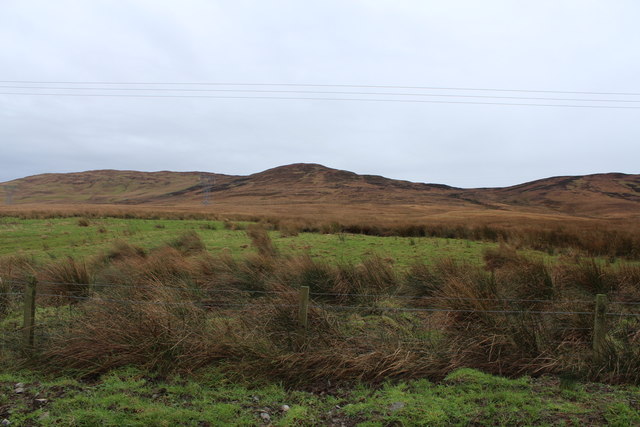
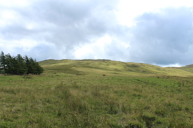
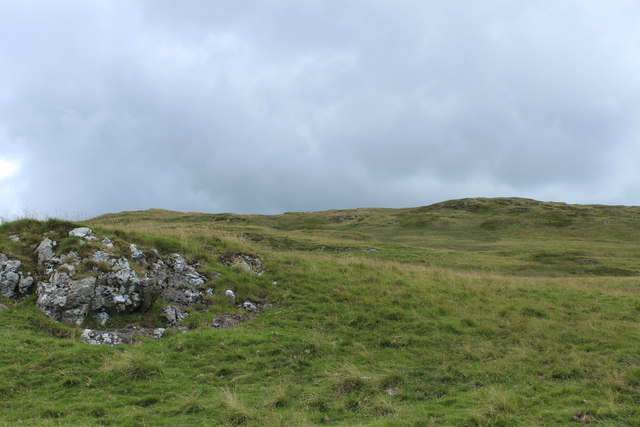
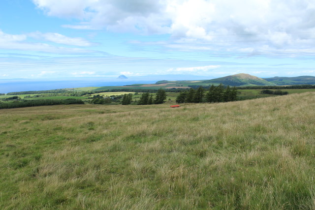
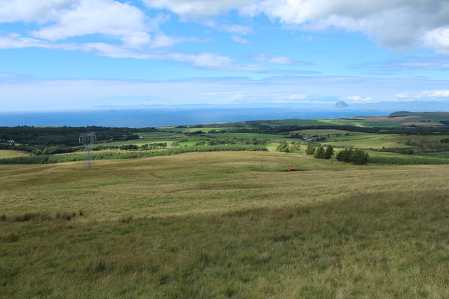
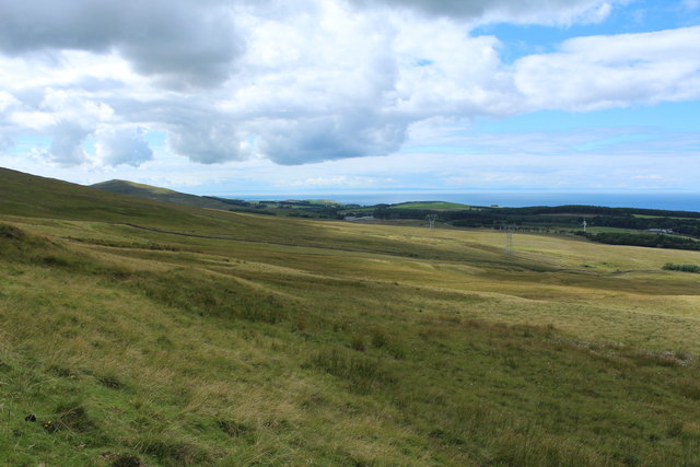
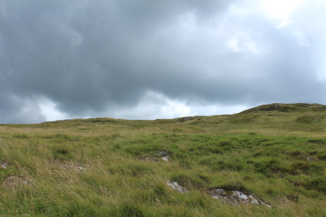
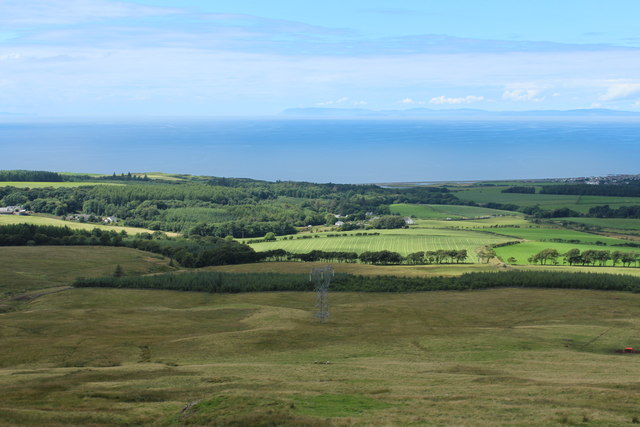
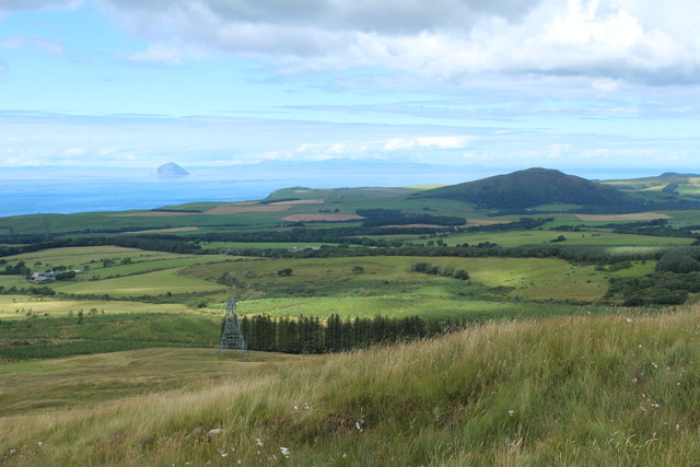
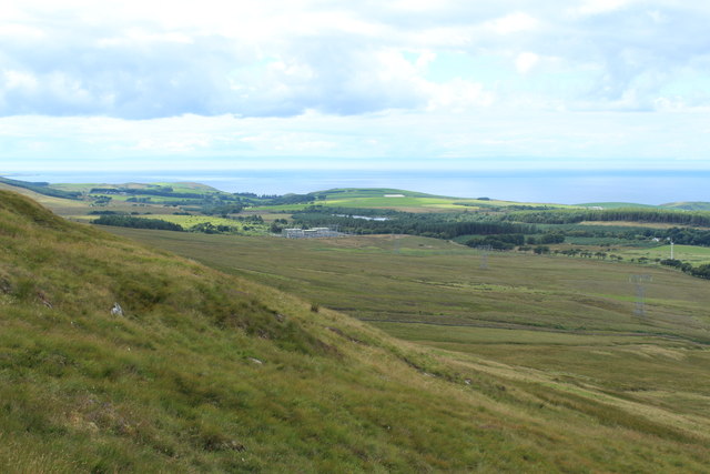
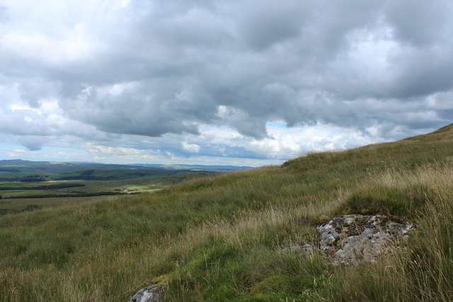
Altigabert Glen is a stunning valley located in Ayrshire, Scotland. Stretching over an area of approximately 10 miles, this picturesque glen offers breathtaking natural beauty and a peaceful ambiance. Situated between the towns of Straiton and Dalmellington, Altigabert Glen is known for its rugged terrain, rolling hills, and dense woodlands.
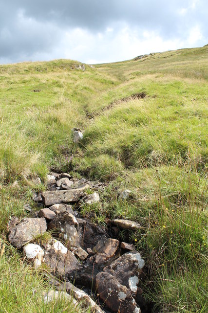
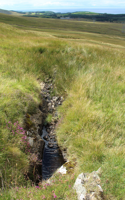
The glen is characterized by its meandering river, the Altigabert Burn, which flows through the valley. The river is famous for its crystal-clear waters, which are home to various species of fish, including trout. The surrounding hills provide a dramatic backdrop to the glen, with their lush greenery and occasional rocky outcrops.
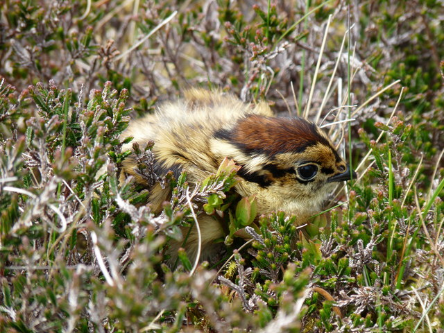
Altigabert Glen is also renowned for its diverse wildlife. Nature enthusiasts can spot a variety of species, including red deer, otters, badgers, and a wide array of birdlife, such as buzzards and peregrine falcons. The glen offers fantastic opportunities for birdwatching and wildlife photography.
For outdoor enthusiasts, Altigabert Glen is a haven for walkers and hikers. There are several well-marked trails that cater to different fitness levels, allowing visitors to explore the glen at their own pace. The trails offer stunning views of the surrounding countryside, including panoramic vistas of the Ayrshire hills.
In addition to its natural beauty, Altigabert Glen is steeped in history. There are remnants of ancient settlements and historical sites scattered throughout the glen, providing a glimpse into the region's past.
Overall, Altigabert Glen is a must-visit destination for those seeking tranquility, natural beauty, and outdoor adventure. Whether you're a nature lover, a history enthusiast, or simply looking for a peaceful escape, this Ayrshire valley offers something for everyone.
If you have any feedback on the listing, please let us know in the comments section below.
Altigabert Glen Images
Images are sourced within 2km of 55.058036/-4.9580723 or Grid Reference NX1177. Thanks to Geograph Open Source API. All images are credited.

Altigabert Glen is located at Grid Ref: NX1177 (Lat: 55.058036, Lng: -4.9580723)
Unitary Authority: South Ayrshire
Police Authority: Ayrshire
What 3 Words
///dime.altitude.trapdoor. Near Cairnryan, Dumfries & Galloway
Nearby Locations
Related Wikis

The Lagafater Estate
Lagafater is a 7000-acre (2832.8 ha) former sporting estate near New Luce in Dumfries and Galloway, Scotland. Since 1910 it has been in the family of its...

Glenapp Castle
Glenapp Castle, formerly the family seat of the Earl of Inchcape, is now a luxury hotel and restaurant located about 1+1⁄2 miles (2.5 kilometres) southeast...

Arecleoch Wind Farm
Arecleoch Wind Farm is a 60 turbine wind farm in South Ayrshire, Scotland with a total capacity of 120 megawatts (MW), enough to power over 67,000 homes...

River Stinchar
The River Stinchar ( STIN-shər) is a river in South Ayrshire, Scotland. It flows south west from the Galloway Forest Park to enter the Firth of Clyde at...
Have you been to Altigabert Glen?
Leave your review of Altigabert Glen below (or comments, questions and feedback).