Ladymoor

Settlement in Staffordshire

England

Ladymoor

Harper Road Scene The view from Villiers Avenue, with the land to the former Bilston Tennis Club on the right.
Harper Road Scene Credit: Gordon Griffiths

Ladymoor is a small village located in the county of Staffordshire, England. It is situated within the wider district of South Staffordshire, approximately 7 miles west of Wolverhampton and 10 miles southeast of Telford. The village lies on the western bank of the River Severn, which forms the border between Staffordshire and Shropshire.

Ladymoor is a rural community with a population of around 500 residents. The village is known for its picturesque surroundings, characterized by rolling hills, green fields, and quaint countryside. The area is predominantly agricultural, with farming playing a significant role in the local economy.

The village itself consists of a scattering of residential properties, including traditional cottages and more modern houses. There is also a small primary school, providing education for the local children. Despite its rural setting, Ladymoor benefits from good transport links, with the A454 road passing nearby, connecting the village with Wolverhampton and Telford.

While Ladymoor is primarily a residential area, amenities such as shops and services can be found in nearby towns and villages. The village offers a peaceful and idyllic lifestyle, making it an attractive place to live for those seeking a quieter, rural setting within easy reach of urban areas.

If you have any feedback on the listing, please let us know in the comments section below.
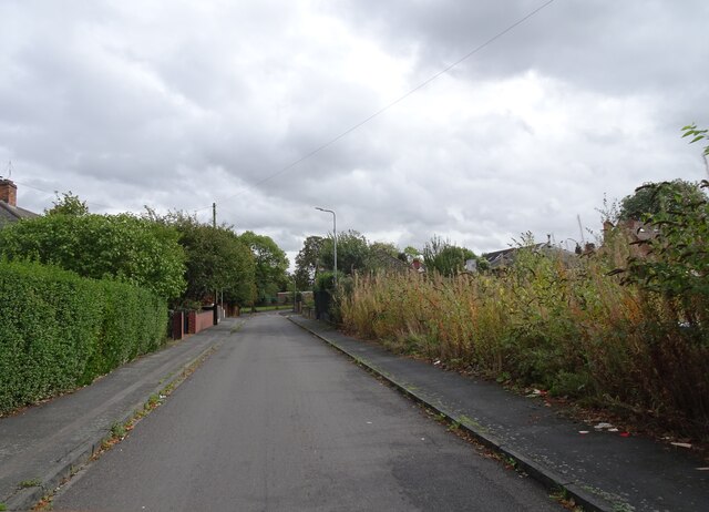
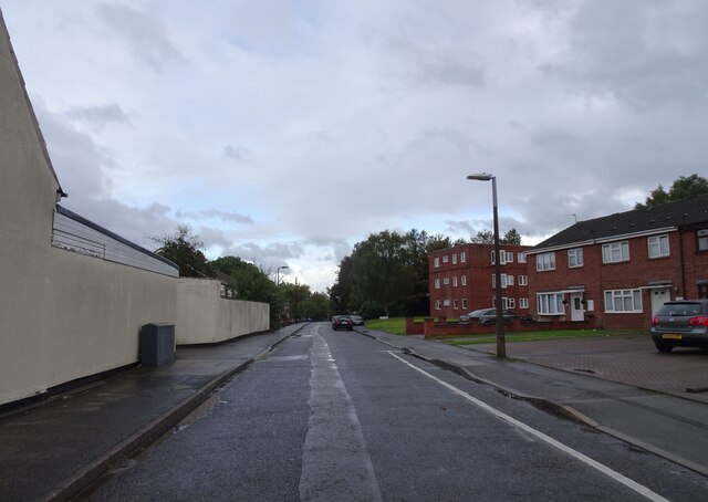
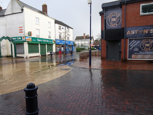
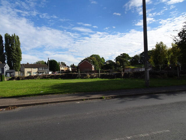
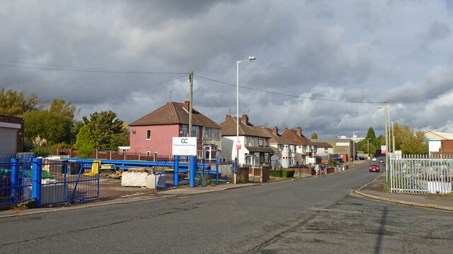
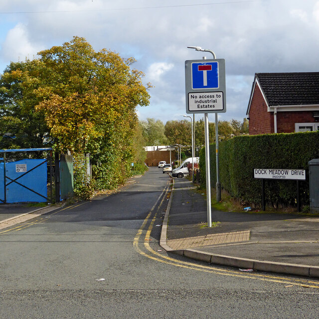
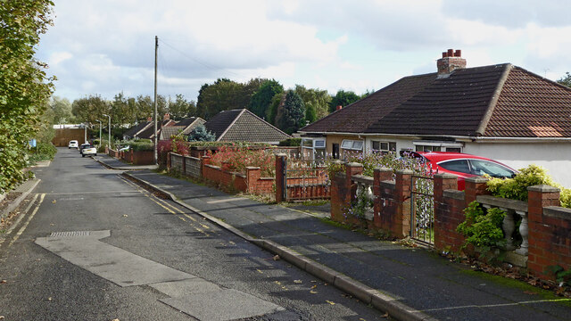
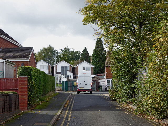
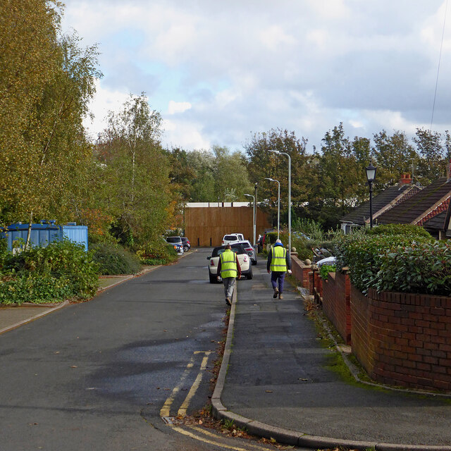
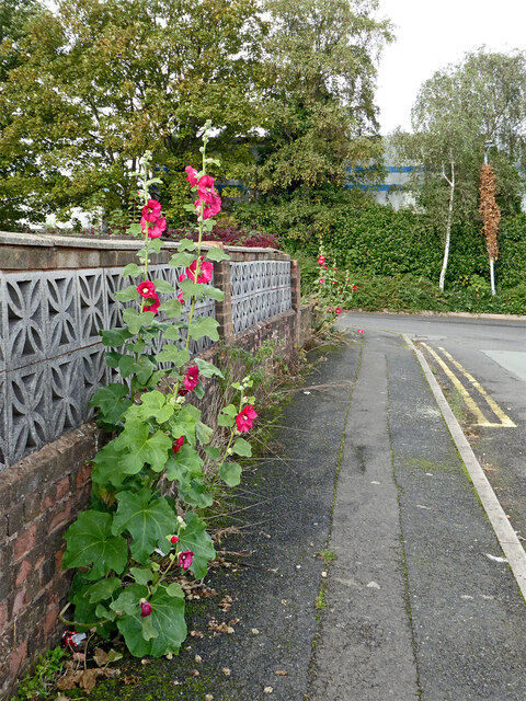
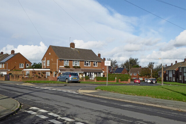
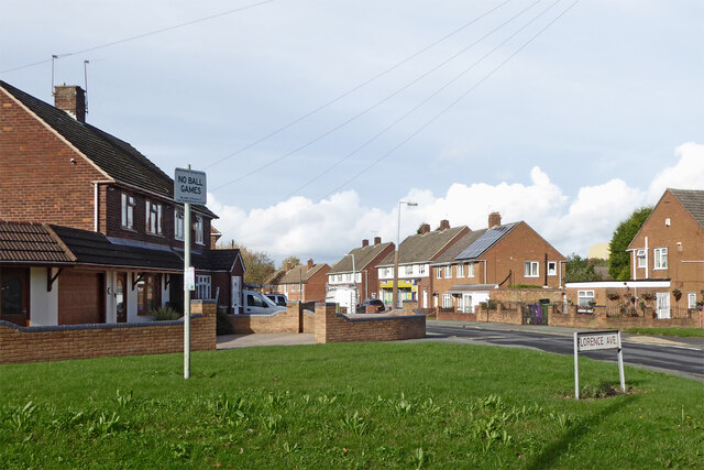
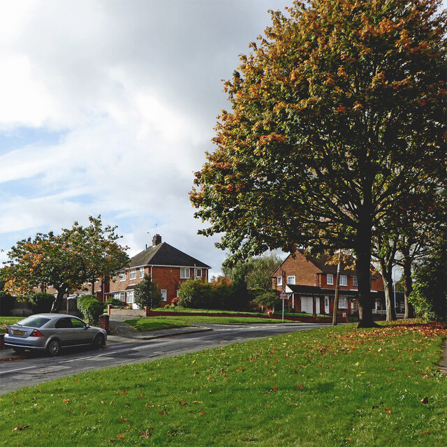
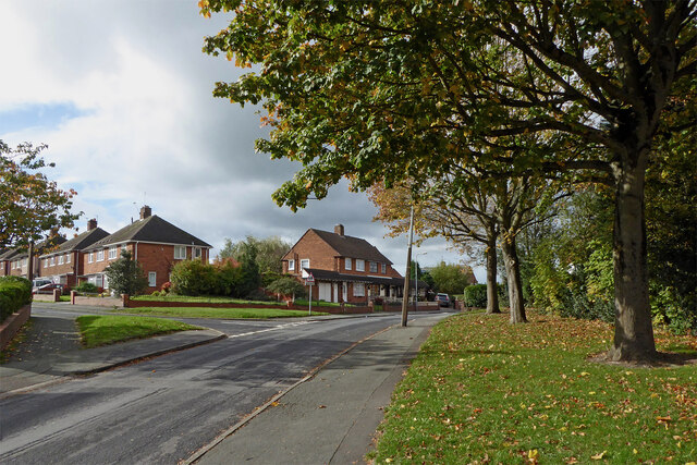
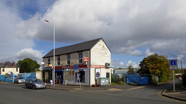
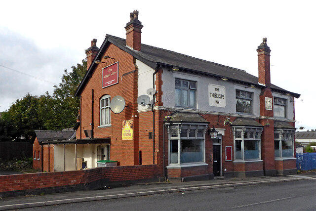
Ladymoor Images

Images are sourced within 2km of 52.556831/-2.084043 or Grid Reference SO9495. Thanks to Geograph Open Source API. All images are credited.

Harper Road Scene The view from Villiers Avenue, with the land to the former Bilston Tennis Club on the right.
Harper Road Scene
The view from Villiers Avenue, with the land to the former Bilston Tennis Club on the right.
Greencroft  The view near Bilston Town centre.
Greencroft
The view near Bilston Town centre.
Wet High Street The view in Bilston Town on a rainy day.
Wet High Street
The view in Bilston Town on a rainy day.
Lost Wanderer The view of the site of the former Happy Wanderer, a Stowlawn Pub on Green Lanes, Bilston. It was named after the song and its association with the Wolves Football Club. The view in 2008 <a href="https://www.geograph.org.uk/photo/705949">SO9497 : The Happy Wanderer</a>
Lost Wanderer
The view of the site of the former Happy Wanderer, a Stowlawn Pub on Green Lanes, Bilston. It was named after the song and its association with the Wolves Football Club. The view in 2008 SO9497 : The Happy Wanderer
Spring Road in Lanesfield, Wolverhampton Looking north towards Wolverhampton city centre, Spring Road is the A4126 from near Coseley, seen at the junction with Lanesfield Drive.
Spring Road in Lanesfield, Wolverhampton
Looking north towards Wolverhampton city centre, Spring Road is the A4126 from near Coseley, seen at the junction with Lanesfield Drive.
Dock Meadow Drive in Lanesfield, Wolverhampton Looking east from Spring Road.
Dock Meadow Drive in Lanesfield, Wolverhampton
Looking east from Spring Road.
Dock Meadow Drive in Lanesfield, Wolverhampton Looking east from near the junction with Spring Road. There is pedestrian access to Lanesfield Drive at the far end of this unadopted cul-de-sac.
Dock Meadow Drive in Lanesfield, Wolverhampton
Looking east from near the junction with Spring Road. There is pedestrian access to Lanesfield Drive at the far end of this unadopted cul-de-sac.
Dock Meadow Drive in Lanesfield, Wolverhampton Looking west towards the A4126 Spring Road. Dock Meadow Drive is an unadopted cul-de-sac.
Dock Meadow Drive in Lanesfield, Wolverhampton
Looking west towards the A4126 Spring Road. Dock Meadow Drive is an unadopted cul-de-sac.
Dock Meadow Drive in Lanesfield, Wolverhampton Looking east from near the junction with Court Road. There is pedestrian access to Lanesfield Drive at the far end of this unadopted cul-de-sac.
Dock Meadow Drive in Lanesfield, Wolverhampton
Looking east from near the junction with Court Road. There is pedestrian access to Lanesfield Drive at the far end of this unadopted cul-de-sac.
Pretty pavement flower display in Lanesfield Hollyhocks!
This is in Court Road, looking towards Dock Mill Drive, both unadopted roads. The garden behind the wall was considerably less "attractive".
OK, it is not a pretty pavement! ;-)
Pretty pavement flower display in Lanesfield
Hollyhocks! This is in Court Road, looking towards Dock Mill Drive, both unadopted roads. The garden behind the wall was considerably less "attractive". OK, it is not a pretty pavement! ;-)
Hilton Road and Norbury Crescent in Lanesfield, Wolverhampton Looking north across Hilton Road towards Norbury Crescent. Off to the left is Florence Avenue.
Hilton Road and Norbury Crescent in Lanesfield, Wolverhampton
Looking north across Hilton Road towards Norbury Crescent. Off to the left is Florence Avenue.
Housing in Lanesfield, Wolverhampton Looking north-west along Hilton Road from the junction with Florence Avenue.
Housing in Lanesfield, Wolverhampton
Looking north-west along Hilton Road from the junction with Florence Avenue.
Hilton Road in Lanesfield, Wolverhampton Looking south-west across Hilton Road towards Dresden Close from near the junction with Spring Road.
Hilton Road in Lanesfield, Wolverhampton
Looking south-west across Hilton Road towards Dresden Close from near the junction with Spring Road.
Hilton Road in Lanesfield, Wolverhampton Looking west from near the junction with Spring Road. Dresden Close leads off to the left.
Hilton Road in Lanesfield, Wolverhampton
Looking west from near the junction with Spring Road. Dresden Close leads off to the left.
Dresden Close in Lanesfield, Wolverhampton Looking south-west along this cul-de-sac from the junction with Hilton Road.
Dresden Close in Lanesfield, Wolverhampton
Looking south-west along this cul-de-sac from the junction with Hilton Road.
Corner shop and chippy in Lanesfield, Wolverhampton This is in Spring Road at the junction with Dock Meadow Drive (unadopted).
Corner shop and chippy in Lanesfield, Wolverhampton
This is in Spring Road at the junction with Dock Meadow Drive (unadopted).
The Three Cups Inn in Lanesfield, Wolverhampton This free house is on the A4126 Spring Road in Lanesfield.
The Three Cups Inn in Lanesfield, Wolverhampton
This free house is on the A4126 Spring Road in Lanesfield.
Spring Road in Lanesfield, Wolverhampton Looking north towards Wolverhampton city centre, Spring Road is the A4126 from near Coseley, seen near the junction with Lanesfield Drive.
The Three Cups Inn on the left is a free house.
Spring Road in Lanesfield, Wolverhampton
Looking north towards Wolverhampton city centre, Spring Road is the A4126 from near Coseley, seen near the junction with Lanesfield Drive. The Three Cups Inn on the left is a free house.
Show me another place!

Ladymoor is located at Grid Ref: SO9495 (Lat: 52.556831, Lng: -2.084043)

Unitary Authority: Wolverhampton

Police Authority: West Midlands

What 3 Words

///rare.icon.hunt. Near Bilston, West Midlands

Nearby Locations

Highfields Ladymoor

Related Wikis

Bilston West railway station

Bilston West railway station was a station built by the Oxford, Worcester and Wolverhampton Railway in 1854. It was situated on the Oxford-Worcester-Wolverhampton...

Ormiston SWB Academy

Ormiston SWB Academy (formerly South Wolverhampton and Bilston Academy) is an academy school (11–18 years) serving the town of Bilston and the southern...

Daisy Bank railway station

Daisy Bank railway station was a station built by the Oxford, Worcester and Wolverhampton Railway in 1854 as Daisy Bank & Bradley station. It was situated...

Bradley, West Midlands

Bradley ( BRAYD-lee) is a suburban village in the City of Wolverhampton, West Midlands County, England. It is located in the Bilston East ward. ��2�...

Nearby Amenities

Located within 500m of 52.556831,-2.084043
Mini Roundabout
Lat/Long: 52.5549962/-2.0851895
Bus Stop
Broad Lanes / Industrial Park
NaPTANAreaCode: 43000720401
Bus: yes
Naptan AtcoCode: 43000720401
Naptan Bearing: S
Naptan BusStopType: MKD
Naptan CommonName: Industrial Park
Naptan Indicator: adj
Naptan NaptanCode: nwmjgjgj
Naptan PlusbusZoneRef: BHAMNWS
Naptan Status: ACT
Naptan StopType: BCT
Naptan Street: BROAD LANES
Naptan Towards: Coseley
Naptan Verified: no
Public Transport: platform
Route Ref: 229
Shelter: yes
Shelter Ref: 104307
Source: WMCA
Lat/Long: 52.5584904/-2.0836222
Bus Stop
Broad Lanes / Industrial Park
Bus: yes
Naptan AtcoCode: 43000720402
Naptan Bearing: N
Naptan BusStopType: MKD
Naptan CommonName: Industrial Park
Naptan Indicator: adj
Naptan NaptanCode: nwmtwtmp
Naptan PlusbusZoneRef: BHAMNWS
Naptan Status: ACT
Naptan StopType: BCT
Naptan Street: BROAD LANES
Naptan Towards: Bilston
Naptan Verified: no
Public Transport: platform
Route Ref: 229
Source: WMCA
Lat/Long: 52.560055/-2.0832121
Bus Stop
Broad Lanes / Broadmoor Rd
Bus: yes
Naptan AtcoCode: 43000720501
Naptan Bearing: S
Naptan BusStopType: MKD
Naptan CommonName: Broadmoor Rd
Naptan Indicator: adj
Naptan NaptanCode: nwmjgjgm
Naptan PlusbusZoneRef: BHAMNWS
Naptan Status: ACT
Naptan StopType: BCT
Naptan Street: BROAD LANES
Naptan Towards: Coseley
Naptan Verified: no
Public Transport: platform
Route Ref: 229
Source: WMCA
Lat/Long: 52.5576082/-2.0852873
Bus Stop
Broad Lanes / Broadmoor Rd
NaPTANAreaCode: 43000720502
Bus: yes
Naptan AtcoCode: 43000720502
Naptan Bearing: N
Naptan BusStopType: MKD
Naptan CommonName: Broadmoor Rd
Naptan Indicator: adj
Naptan NaptanCode: nwmjgjgp
Naptan PlusbusZoneRef: BHAMNWS
Naptan Status: ACT
Naptan StopType: BCT
Naptan Street: BROAD LANES
Naptan Towards: Bilston
Naptan Verified: no
Public Transport: platform
Route Ref: 229
Shelter: yes
Shelter Ref: 104306
Source: WMCA
Lat/Long: 52.55768/-2.0854202
Bus Stop
Highfields Road / Ladymoor Rd
Bus: yes
Naptan AtcoCode: 43000720601
Naptan Bearing: W
Naptan BusStopType: MKD
Naptan CommonName: Ladymoor Rd
Naptan Indicator: opp
Naptan NaptanCode: nwmjgjgt
Naptan PlusbusZoneRef: BHAMNWS
Naptan Status: ACT
Naptan StopType: BCT
Naptan Street: HIGHFIELDS ROAD
Naptan Towards: Bilston
Naptan Verified: no
Public Transport: platform
Route Ref: 229
Source: WMCA
Lat/Long: 52.5549659/-2.0841022
Bus Stop
Highfields Road / Ladymoor Rd
Bus: yes
Naptan AtcoCode: 43000720602
Naptan Bearing: E
Naptan BusStopType: MKD
Naptan CommonName: Ladymoor Rd
Naptan Indicator: opp
Naptan NaptanCode: nwmjgjgw
Naptan PlusbusZoneRef: BHAMNWS
Naptan Status: ACT
Naptan StopType: BCT
Naptan Street: HIGHFIELDS ROAD
Naptan Towards: Coseley
Naptan Verified: no
Public Transport: platform
Route Ref: 229
Source: WMCA
Lat/Long: 52.5550603/-2.0841034
Bus Stop
Rainbow St / Goldborough Close
Asset Ref: 4841101
Bus: yes
Location: Rainbow Street;Goldborough Close
Naptan AtcoCode: 43004841101
Naptan Bearing: NW
Naptan BusStopType: MKD
Naptan CommonName: Goldborough Close
Naptan Indicator: adj
Naptan NaptanCode: nwmtmadw
Naptan PlusbusZoneRef: BHAMNWS
Naptan Status: ACT
Naptan StopType: BCT
Naptan Street: RAINBOW ST
Naptan Towards: Bilston
Public Transport: platform
Route Ref: 229
Shelter: no
Source: WMCA
Towards: Opposite
Lat/Long: 52.5536727/-2.0809119
Bus Stop
Rainbow St / Goldborough Close
Asset Ref: 4841102
Bus: yes
Location: Rainbow Street;Goldborough Close
Naptan AtcoCode: 43004841102
Naptan Bearing: SE
Naptan BusStopType: MKD
Naptan CommonName: Goldborough Close
Naptan Indicator: before
Naptan NaptanCode: nwmtmaga
Naptan PlusbusZoneRef: BHAMNWS
Naptan Status: ACT
Naptan StopType: BCT
Naptan Street: RAINBOW ST
Naptan Towards: Coseley
Public Transport: platform
Route Ref: 229
Shelter: no
Source: WMCA
Towards: Coseley
Lat/Long: 52.5537653/-2.0808664
Bilston West
Historic Railway: station
Railway: site
Source: OS 1:25k
Wikidata: Q4913615
Wikipedia: en:Bilston West railway station
Lat/Long: 52.56117/-2.0825613
Ladymoor
Place: locality
Source: OS_OpenData_StreetView
Lat/Long: 52.5559904/-2.083675
Highfields
Place: locality
Source: OS_OpenData_StreetView
Lat/Long: 52.5550613/-2.0782717
Turning Circle
Source: bing
Lat/Long: 52.5575083/-2.0826767
Turning Circle
Source: bing
Lat/Long: 52.5563786/-2.0803376
Turning Circle
Source: bing
Lat/Long: 52.5566076/-2.0792809
Crossing
Crossing: traffic_signals
Source: bing
Lat/Long: 52.5611574/-2.0834151
Crossing
Crossing: traffic_signals
Source: bing
Lat/Long: 52.5611803/-2.0832218
Generator Method: photovoltaic
Generator Output Electricity: yes
Generator Source: solar
Generator Type: solar_photovoltaic_panel
Location: roof
Power: generator
Lat/Long: 52.5546021/-2.0805895
Generator Method: photovoltaic
Generator Output Electricity: yes
Generator Source: solar
Generator Type: solar_photovoltaic_panel
Location: roof
Power: generator
Lat/Long: 52.5573336/-2.0845056
Barrier: bollard
Lat/Long: 52.5601516/-2.0879637
Barrier: cycle_barrier
Lat/Long: 52.560447/-2.0878725
The data included in this document is from www.openstreetmap.org. The data is made available under ODbL.

Have you been to Ladymoor?

Leave your review of Ladymoor below (or comments, questions and feedback).