Ladyoak

Settlement in Shropshire

England

Ladyoak

Edge of the village New-build houses in Minsterley surrounded (for now) by farmland.
Edge of the village Credit: Bill Harrison

Ladyoak is a small village located in the county of Shropshire, England. Situated in the West Midlands region, it lies approximately 5 miles north of the town of Much Wenlock and 12 miles south of the county town of Shrewsbury. The village is part of the civil parish of Barrow and within the administrative borough of Shropshire.

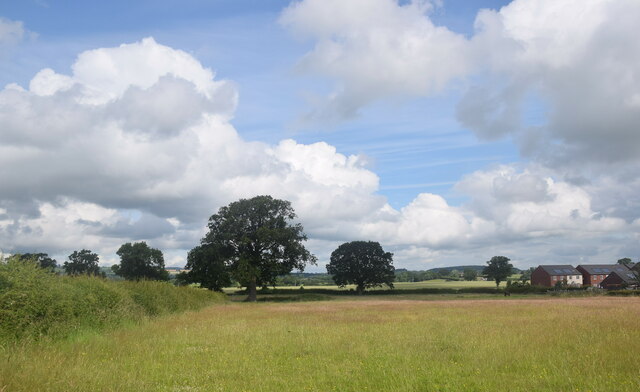
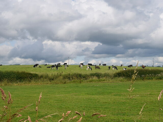
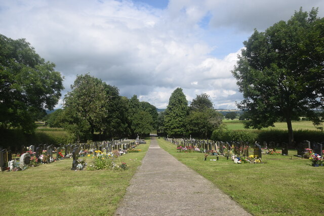
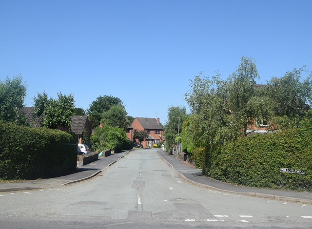
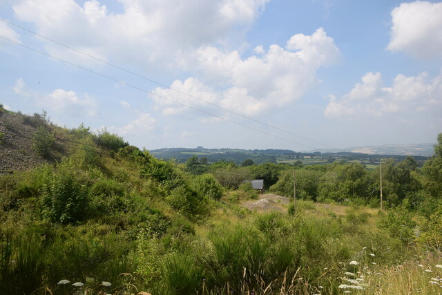
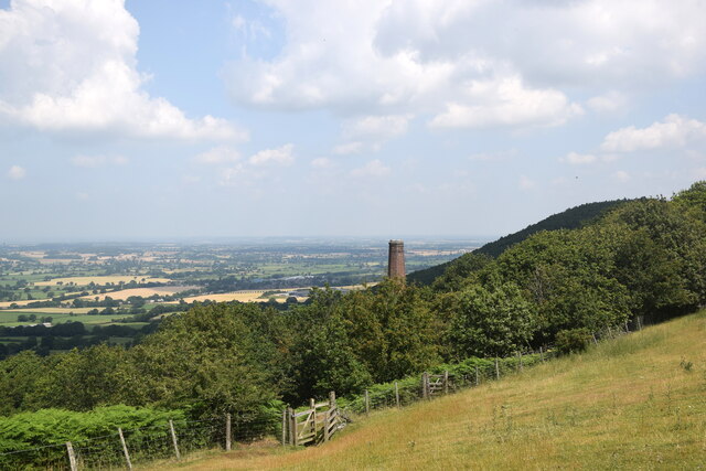
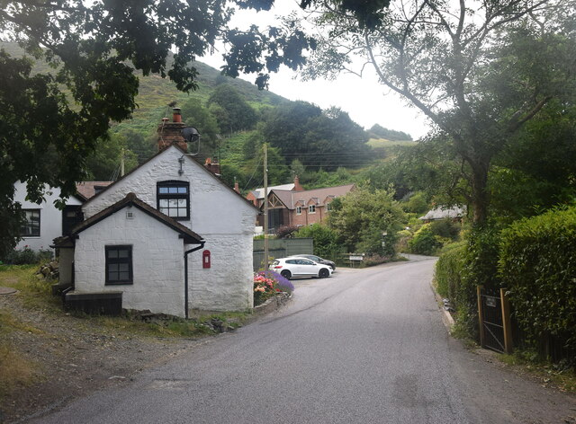
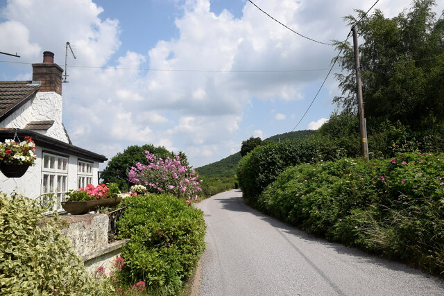
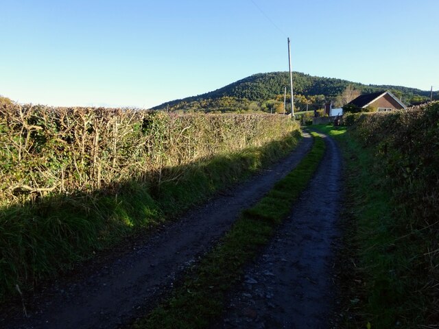
Ladyoak is characterized by its picturesque rural setting, surrounded by rolling hills and scenic countryside. The village is home to a tight-knit community, with a population of around 200 residents. The area is predominantly residential, consisting of quaint cottages and traditional houses, often constructed from the local red sandstone that is prevalent in Shropshire.

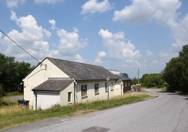
Despite its small size, Ladyoak offers a range of amenities to its residents. There is a village hall that serves as a hub for community events and gatherings, providing a space for various activities and clubs. The village also has a local pub, which acts as a social focal point for both residents and visitors.

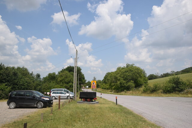
Due to its location in the heart of the Shropshire countryside, Ladyoak attracts outdoor enthusiasts and nature lovers. The surrounding area offers ample opportunities for walking, hiking, and exploring the beautiful landscape. Additionally, the village is within close proximity to the Shropshire Hills Area of Outstanding Natural Beauty, which further enhances its appeal to outdoor enthusiasts.

Overall, Ladyoak is a charming and idyllic village that provides a peaceful and close-knit community for its residents, while also offering access to the stunning natural beauty of the Shropshire countryside.

If you have any feedback on the listing, please let us know in the comments section below.
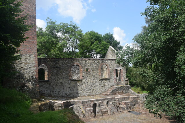
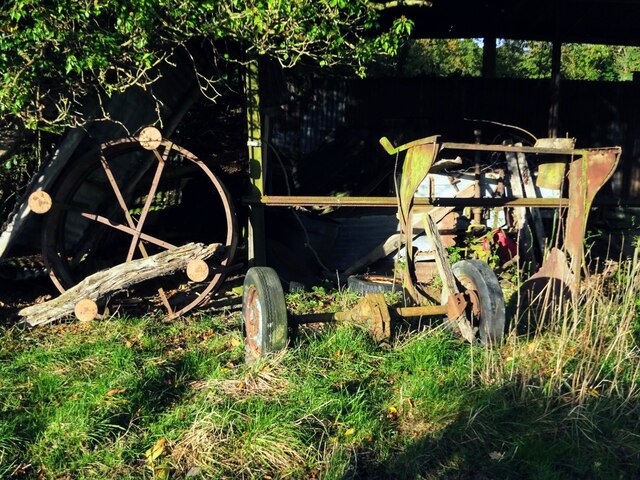
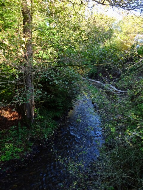
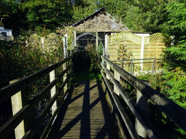
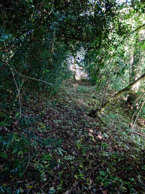
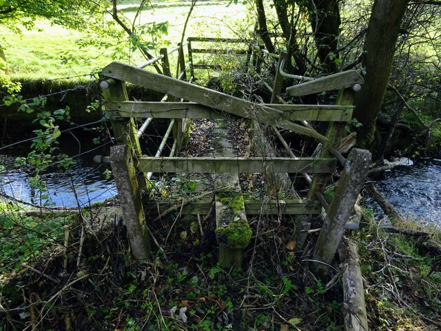
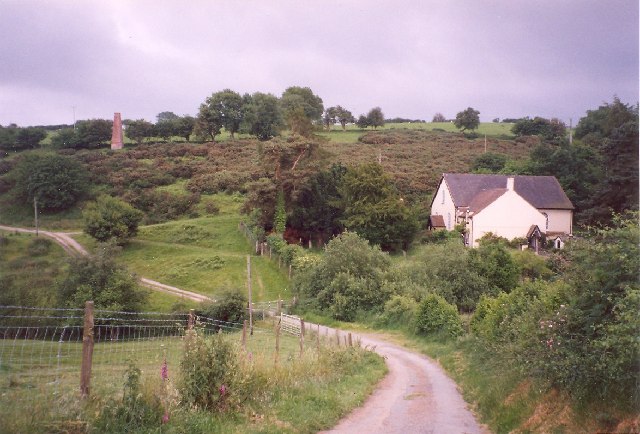
Ladyoak Images

Images are sourced within 2km of 52.62418/-2.945612 or Grid Reference SJ3603. Thanks to Geograph Open Source API. All images are credited.

Edge of the village New-build houses in Minsterley surrounded (for now) by farmland.
Edge of the village
New-build houses in Minsterley surrounded (for now) by farmland.
Cows grazing under changeable Shropshire skies
Minsterley cemetery Maintained by Shropshire Council with several recent burials evident.
Minsterley cemetery
Maintained by Shropshire Council with several recent burials evident.
Minsterley Primary School As stated on the plaque on the main building, the school was established in 1843 to educate 'all poor children in the township of Minsterley'; the wooden extension was built as long ago as 1933; for more see: <span class="nowrap"><a title="https://minsterleyschool.org.uk/home/about/history/" rel="nofollow ugc noopener" href="https://minsterleyschool.org.uk/home/about/history/">Link</a><img style="margin-left:2px;" alt="External link" title="External link - shift click to open in new window" src="https://s1.geograph.org.uk/img/external.png" width="10" height="10"/></span> .  School roll (2021): 138.
Minsterley Primary School
As stated on the plaque on the main building, the school was established in 1843 to educate 'all poor children in the township of Minsterley'; the wooden extension was built as long ago as 1933; for more see: LinkExternal link . School roll (2021): 138.
Willow Park, Minsterley new builds to the west of the A488 road.
Willow Park, Minsterley
new builds to the west of the A488 road.
Industrial wasteland Spoil heaps associated with the former Snailbeach lead mine.
Industrial wasteland
Spoil heaps associated with the former Snailbeach lead mine.
Remains of Snailbeach lead mine This, I think, is the remains of the boiler house.
Remains of Snailbeach lead mine
This, I think, is the remains of the boiler house.
Looking towards Snailbeach... ...including a former mine chimney and in the distance the village of Minsterley.
Looking towards Snailbeach...
...including a former mine chimney and in the distance the village of Minsterley.
Crowsnest Dingle A Shropshire hamlet clinging to the side of Oak Hill.  The white building in the foreground was marked as the Cross Guns Inn on the 1901 25-inch OS map.  Note the minuscule post box set into the wall.
Crowsnest Dingle
A Shropshire hamlet clinging to the side of Oak Hill. The white building in the foreground was marked as the Cross Guns Inn on the 1901 25-inch OS map. Note the minuscule post box set into the wall.
Roadside cottage with flowers... ...just south of Snailbeach.
Roadside cottage with flowers...
...just south of Snailbeach.
Snailbeach village hall
Snailbeach scene The village hall car park and a replica tub or minecart (<span class="nowrap"><a title="https://en.wikipedia.org/wiki/Minecart" rel="nofollow ugc noopener" href="https://en.wikipedia.org/wiki/Minecart">Link</a><img style="margin-left:2px;" alt="External link" title="External link - shift click to open in new window" src="https://s1.geograph.org.uk/img/external.png" width="10" height="10"/></span> ) similar to the type once used at the nearby lead mines.
Snailbeach scene
The village hall car park and a replica tub or minecart (LinkExternal link ) similar to the type once used at the nearby lead mines.
Track and footpath east of Snailbeach Looking back to Maddox’s Coppice
Track and footpath east of Snailbeach
Looking back to Maddox’s Coppice
Long discarded farm equipment Most farms have these nostalgic graveyards
Long discarded farm equipment
Most farms have these nostalgic graveyards
Stream running alongside the A488 at The Waterwheel Must have been the driver of the named Waterwheel - long since disappeared. This stream finds its way north to join the Rea Brook a few miles further on.
Stream running alongside the A488 at The Waterwheel
Must have been the driver of the named Waterwheel - long since disappeared. This stream finds its way north to join the Rea Brook a few miles further on.
Footpath bridge at The Waterwheel Footpath leads into stream side cottages’ back gardens
Footpath bridge at The Waterwheel
Footpath leads into stream side cottages’ back gardens
Little used footpath off the A488 south of Wagbeach Leads up into pastureland, hillside, and on this occasion a visual encounter with a surprised roaming fox.
Little used footpath off the A488 south of Wagbeach
Leads up into pastureland, hillside, and on this occasion a visual encounter with a surprised roaming fox.
Little used and dilapidated footbridge South of The Waterwheel, gaining access to the track leading up to Hogstow Hall
Little used and dilapidated footbridge
South of The Waterwheel, gaining access to the track leading up to Hogstow Hall
Show me another place!

Ladyoak is located at Grid Ref: SJ3603 (Lat: 52.62418, Lng: -2.945612)

Unitary Authority: Shropshire

Police Authority: West Mercia

What 3 Words

///offstage.launched.jokes. Near Minsterley, Shropshire

Related Wikis

Snailbeach

Snailbeach is a village in Shropshire, England, located near Shrewsbury at grid reference SJ375025. The population details taken at the 2011 census can...

Snailbeach Countryside Site

Snailbeach Countryside Site is an industrial archeology site in Shropshire. It is located three 3 miles (4.8 km) south of the village of Pontesbury and...

Minsterley

Minsterley is a village and civil parish in Shropshire, England. In the 2011 census, its population was 1,777. Minsterley lies one mile south-west of Pontesbury...

Minsterley railway station

Minsterley railway station was a terminus station in Minsterley, Shropshire, England. The station was opened in 1861 and closed in 1951. == References... ==

Nearby Amenities

Located within 500m of 52.62418,-2.945612
Give Way
Direction: forward
Lat/Long: 52.624546/-2.9453486
Give Way
Direction: backward
Lat/Long: 52.6241919/-2.9455602
Access: no
Barrier: stile
Foot: designated
Material: wood
Stile: stepover
Lat/Long: 52.6213683/-2.9433562
Access: no
Barrier: stile
Foot: designated
Material: wood
Stile: stepover
Lat/Long: 52.6207873/-2.9436983
Barrier: stile
Lat/Long: 52.6206121/-2.9449069
Barrier: stile
Foot: designated
Material: wood
Stile: stepover
Lat/Long: 52.6202812/-2.9458295
Access: private
Man Made: water_well
Lat/Long: 52.6222873/-2.9402912
Access: no
Barrier: stile
Description: Overgrown step over style, might be easier to use gate
Foot: designated
Material: wood
Stile: stepover
Lat/Long: 52.6250031/-2.9463691
Access: no
Barrier: stile
Foot: designated
Material: wood
Stile: stepover
Lat/Long: 52.626972/-2.9504369
Access: no
Barrier: kissing_gate
Foot: designated
Lat/Long: 52.6270341/-2.9503555
The data included in this document is from www.openstreetmap.org. The data is made available under ODbL.

Have you been to Ladyoak?

Leave your review of Ladyoak below (or comments, questions and feedback).