Ladykirk
Settlement in Berwickshire
Scotland
Ladykirk
Ladykirk is a small village located in the county of Berwickshire, in the Scottish Borders region of Scotland. Situated on the southern bank of the River Tweed, it lies about 3 miles southeast of the town of Coldstream and approximately 12 miles northwest of the town of Berwick-upon-Tweed.
The village is best known for its historic church, Ladykirk Parish Church, which dates back to the 16th century. The church was built in 1500 by James IV of Scotland as a tribute to his wife, Margaret Tudor, sister of Henry VIII of England. Its stunning architectural style combines both Scottish and English influences, reflecting the union of the two kingdoms.
Surrounded by picturesque countryside, Ladykirk offers visitors a tranquil and scenic setting. The village is a popular destination for outdoor enthusiasts, with opportunities for walking, cycling, and fishing along the River Tweed. The river is particularly renowned for its salmon fishing, attracting anglers from far and wide.
Although small, Ladykirk has a strong sense of community. The village is home to a close-knit population who take great pride in their surroundings. While there are no major amenities within the village itself, nearby towns like Coldstream provide essential services, including shops, schools, and healthcare facilities.
Ladykirk's idyllic location, rich history, and natural beauty make it a charming destination for those seeking a peaceful retreat or an opportunity to explore the Scottish Borders region.
If you have any feedback on the listing, please let us know in the comments section below.
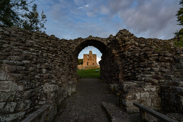
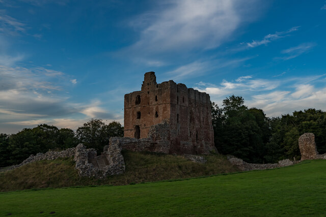
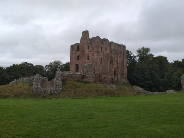
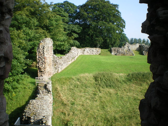
Ladykirk Images
Images are sourced within 2km of 55.721867/-2.1795756 or Grid Reference NT8847. Thanks to Geograph Open Source API. All images are credited.


Ladykirk is located at Grid Ref: NT8847 (Lat: 55.721867, Lng: -2.1795756)
Unitary Authority: The Scottish Borders
Police Authority: The Lothians and Scottish Borders
What 3 Words
///qualified.newsstand.decorate. Near Allanton, Scottish Borders
Nearby Locations
Related Wikis
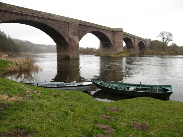
Ladykirk and Norham Bridge
The Ladykirk and Norham Bridge connects Ladykirk in the Borders, Scotland, with Norham in Northumberland, England, across the River Tweed. It's one of...

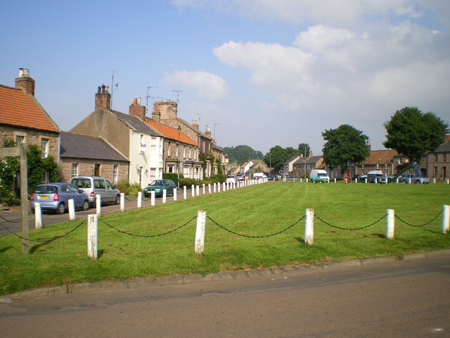
Ladykirk, Scottish Borders
Ladykirk is a village on the B6470 in the Scottish Borders area of Scotland, and the former Berwickshire, just north of the River Tweed and the Anglo...
Norham
Norham ( NORR-əm) is a village and civil parish in Northumberland, England. It is 7 miles (11 km) south-west of Berwick on the south side of the River...
Upsettlington Castle
Upsettington Castle was a castle that was located near Upsettington (now Ladykirk), Scottish Borders, Scotland. The castle was the caput baronium of the...
Nearby Amenities
Located within 500m of 55.721867,-2.1795756Have you been to Ladykirk?
Leave your review of Ladykirk below (or comments, questions and feedback).