Alwhibbie Glen

Valley in Wigtownshire

Scotland

Alwhibbie Glen

Ardwell bay, Rhins of Galloway about 10 miles South of Stranraer Seals lazing on the rocks during a lovely Winter afternoon.
Ardwell bay, Rhins of Galloway about 10 miles South of Stranraer Credit: Colin McDonald

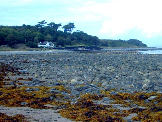
Alwhibbie Glen is a picturesque valley situated in Wigtownshire, Scotland. Nestled amidst rolling hills and lush greenery, this idyllic location is renowned for its natural beauty and tranquil atmosphere.

The glen is characterized by its meandering river, Alwhibbie Burn, which flows through the valley, adding to its charm. The river is flanked by a variety of flora, including ancient oak trees, wildflowers, and ferns, creating a vibrant and diverse ecosystem.

The rich biodiversity of Alwhibbie Glen is further enhanced by the presence of numerous bird species, such as herons, kingfishers, and dippers, making it a haven for birdwatchers and nature enthusiasts. The glen also supports a variety of wildlife, including red squirrels, badgers, and deer, providing ample opportunities for wildlife spotting.

For those seeking outdoor adventures, Alwhibbie Glen offers a network of walking trails that meander through the valley and provide breathtaking views of the surrounding landscape. These trails cater to all levels of hikers, from leisurely strolls to more challenging hikes, making it an ideal destination for individuals and families alike.

Additionally, Alwhibbie Glen is home to a number of archaeological sites, including ancient burial mounds and remnants of prehistoric settlements, offering a glimpse into the rich history of the area. Visitors can explore these sites and learn about the early inhabitants of the valley.

Overall, Alwhibbie Glen in Wigtownshire is a true gem of nature, offering a peaceful retreat for those seeking solace in its scenic beauty and a chance to immerse themselves in its natural wonders.

If you have any feedback on the listing, please let us know in the comments section below.

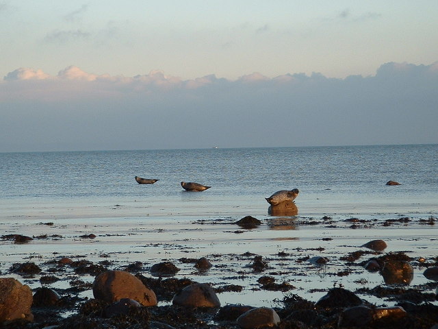
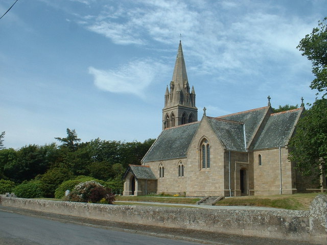
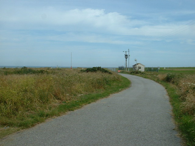
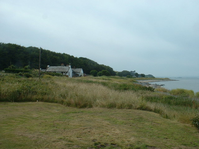
Alwhibbie Glen Images

Images are sourced within 2km of 54.786997/-4.9510246 or Grid Reference NX1047. Thanks to Geograph Open Source API. All images are credited.

Ardwell bay, Rhins of Galloway about 10 miles South of Stranraer Seals lazing on the rocks during a lovely Winter afternoon.
Ardwell bay, Rhins of Galloway about 10 miles South of Stranraer
Seals lazing on the rocks during a lovely Winter afternoon.
Ardwell Church
Ardwell Church
MoD Lookout on Luce Bay There is a barrier here, restricting access to the shore when military activities are underway.
MoD Lookout on Luce Bay
There is a barrier here, restricting access to the shore when military activities are underway.
Drumantrae On the shore of Luce Bay, looking north.
Drumantrae
On the shore of Luce Bay, looking north.
The Dyemill, Near Sandhead Now a private dwelling, the Dye Mill was once powered by the Alwhibbie Burn to mill seaweed and obtain a brown dye.  Seaweed was one of Scotland's most valuable natural resources.
The Dyemill, Near Sandhead
Now a private dwelling, the Dye Mill was once powered by the Alwhibbie Burn to mill seaweed and obtain a brown dye. Seaweed was one of Scotland's most valuable natural resources.
Shoreline, Sandhead bay This shore is at the south end of Sandhead Bay - part of Luce Bay
Shoreline, Sandhead bay
This shore is at the south end of Sandhead Bay - part of Luce Bay
Summer on the Mull Of Galloway
Ardwell Church
Ardwell Church
Carved farm sign for Barhill farm
Ardwell Church - Church of Scotland. Ardwell Church of Scotland church.  The photograph was taken on a thundery day.
Ardwell Church - Church of Scotland.
Ardwell Church of Scotland church. The photograph was taken on a thundery day.
Farmland near Ardwell Mill
Ardwell Community Kirk  Ardwell Community Kirk is a beautiful Edwardian sandstone building in the small village of Ardwell.
After the Church of Scotland ceased holding services at Ardwell, a decision was taken in 2015 to form a Trust and continue to use the building for religious and non-religious services, weddings, funerals and community events.
Ardwell Community Kirk
Ardwell Community Kirk is a beautiful Edwardian sandstone building in the small village of Ardwell. After the Church of Scotland ceased holding services at Ardwell, a decision was taken in 2015 to form a Trust and continue to use the building for religious and non-religious services, weddings, funerals and community events.
Sandhead beach Looking south.
Sandhead beach
Looking south.
Farmhouse and Bones Plantation Rhins farmhouse on quiet country road
Farmhouse and Bones Plantation
Rhins farmhouse on quiet country road
Stoneykirk Old Manse, Sandhead Old manse for the now disused Stoneykirk Free Church (in trees behind manse); both date from 1844. The buildings actually stand to the south of Sandhead at Lake Cottage junction.
Stoneykirk Old Manse, Sandhead
Old manse for the now disused Stoneykirk Free Church (in trees behind manse); both date from 1844. The buildings actually stand to the south of Sandhead at Lake Cottage junction.
Overdale Cottage View north on the Clachanmore-Sandhead road.
Overdale Cottage
View north on the Clachanmore-Sandhead road.
Glenhie Smithy Track off the Clachanmore-Sandhead road leading to Glenhie Smithy, Smithy Cottage, and in the trees Glenhie Smithy Croft.
Glenhie Smithy
Track off the Clachanmore-Sandhead road leading to Glenhie Smithy, Smithy Cottage, and in the trees Glenhie Smithy Croft.
Drystone dyke on Mackelvies hill
Show me another place!

Alwhibbie Glen is located at Grid Ref: NX1047 (Lat: 54.786997, Lng: -4.9510246)

Unitary Authority: Dumfries and Galloway

Police Authority: Dumfries and Galloway

What 3 Words

///plodding.connects.earful. Near Drummore, Dumfries & Galloway

Nearby Locations

Clay Hill Alwhibbie Glen

Related Wikis

Sandhead

Sandhead is a small village in Dumfries and Galloway, south west Scotland. It overlooks Luce Bay, 7 miles south of Stranraer. The old main road, named...

Ardwell

Ardwell (from Gaelic Àrd Bhaile meaning "high town", pronounced as "Ardwell") is a village in the Scottish unitary council area of Dumfries and Galloway...

Clachanmore

Clachanmore is a village in the South Rhins of Galloway near Ardwell in the south west of Scotland. It has also been known as Low Ardwell.The name of the...

Doon Castle Broch

Doon Castle Broch is an iron-age broch located in Dumfries and Galloway, Scotland (grid reference NX 06702 44683). == Location == The Broch is located...

Logan Botanic Garden

Logan Botanic Garden is a botanical garden near Port Logan on the Rhins of Galloway, at the south-western tip of Scotland. The Botanic Garden was established...

Stoneykirk

Stoneykirk (Scottish Gaelic: Eaglais Steafain) is an area and a village in the heart of the Rhins of Galloway, Wigtownshire, in the administrative council...

RAF West Freugh

RAF West Freugh is a former Royal Air Force station located in Wigtownshire, 5 miles (8 km) south east of Stranraer, Dumfries and Galloway, Scotland. It...

Port Logan

Port Logan, formerly Port Nessock, is a small village in the parish of Kirkmaiden in the Rhins of Galloway in Wigtownshire. The Gaelic name is Port Neasaig...

Nearby Amenities

Located within 500m of 54.786997,-4.9510246
Source: PGS
Lat/Long: 54.7842862/-4.9454382
Source: PGS
Lat/Long: 54.7846623/-4.9458018
Source: PGS
Lat/Long: 54.7851137/-4.9462497
Source: PGS
Lat/Long: 54.785717/-4.9465058
Source: PGS
Lat/Long: 54.786543/-4.9466441
Source: PGS
Lat/Long: 54.7869891/-4.9468696
Source: PGS
Lat/Long: 54.7872933/-4.9469652
Source: PGS
Lat/Long: 54.7883762/-4.9472705
Source: PGS
Lat/Long: 54.7890532/-4.9471496
Power: pole
Lat/Long: 54.7827999/-4.952846
Power: pole
Lat/Long: 54.7832273/-4.9522096
Power: pole
Lat/Long: 54.7838325/-4.9513055
Power: pole
Lat/Long: 54.7844493/-4.9503977
Power: pole
Lat/Long: 54.785061/-4.9494972
Power: pole
Lat/Long: 54.7856573/-4.948597
Power: pole
Lat/Long: 54.7862861/-4.9476812
Power: pole
Lat/Long: 54.7840004/-4.9489404
Power: pole
Lat/Long: 54.7835182/-4.9474096
The data included in this document is from www.openstreetmap.org. The data is made available under ODbL.

Have you been to Alwhibbie Glen?

Leave your review of Alwhibbie Glen below (or comments, questions and feedback).