Clay Hill

Hill, Mountain in Wigtownshire

Scotland

Clay Hill

Ardwell bay, Rhins of Galloway about 10 miles South of Stranraer Seals lazing on the rocks during a lovely Winter afternoon.
Ardwell bay, Rhins of Galloway about 10 miles South of Stranraer Credit: Colin McDonald

Clay Hill is a prominent hill located in Wigtownshire, a region in southwestern Scotland. Rising to an elevation of approximately 249 meters (817 feet), it is classified as a hill rather than a mountain. Clay Hill is situated near the village of Kirkcowan, about 9 kilometers (5.6 miles) northeast of Wigtown, the county town.

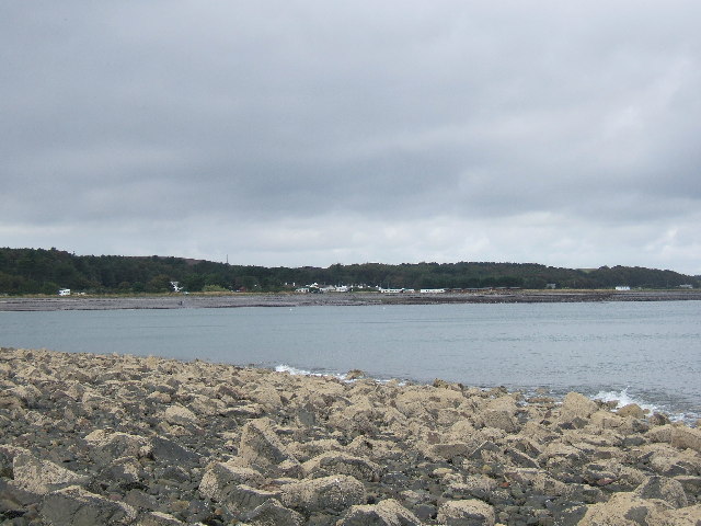
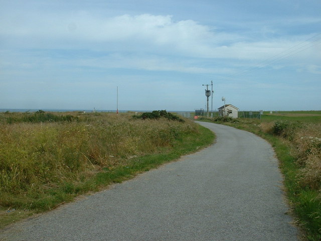
The landscape surrounding Clay Hill is characterized by rolling hills and farmland, offering picturesque views of the rural countryside. The hill itself is covered in grass and heather, providing a home for various plant species and wildlife. Its gentle slopes make it accessible for hikers and walkers of different abilities.

On the summit of Clay Hill, visitors can enjoy panoramic vistas of the surrounding countryside, with views stretching out towards the Galloway Hills to the north and the Solway Firth to the south. The hill is also a popular spot for birdwatching enthusiasts, as it attracts a variety of bird species, including buzzards, kestrels, and peregrine falcons.

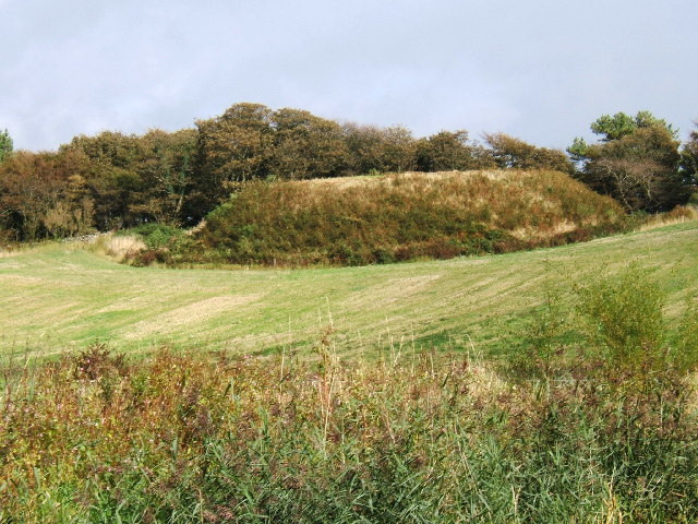
Clay Hill holds historical significance as well, with evidence of ancient settlements and burial mounds in the vicinity. The hill's name is believed to be derived from its clay-rich soil, which has been utilized by local communities for pottery production in the past.

Overall, Clay Hill in Wigtownshire offers visitors a chance to immerse themselves in the natural beauty of the Scottish countryside, providing stunning views, wildlife sightings, and a glimpse into the region's rich history.

If you have any feedback on the listing, please let us know in the comments section below.
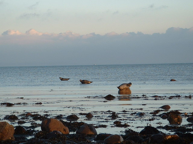
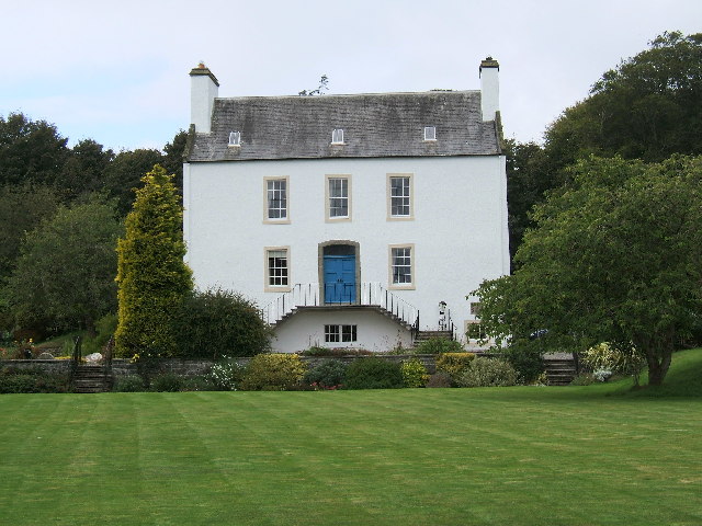
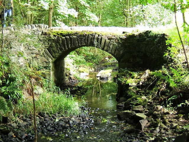
Clay Hill Images

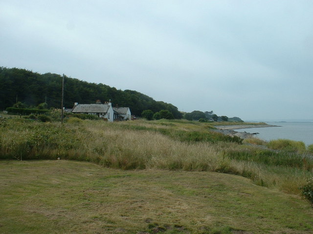
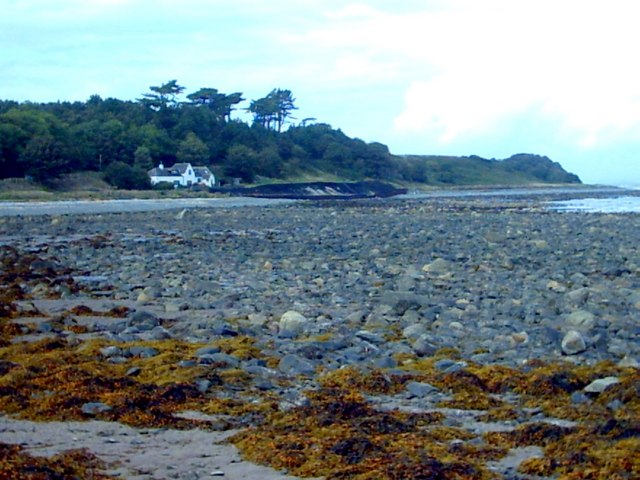
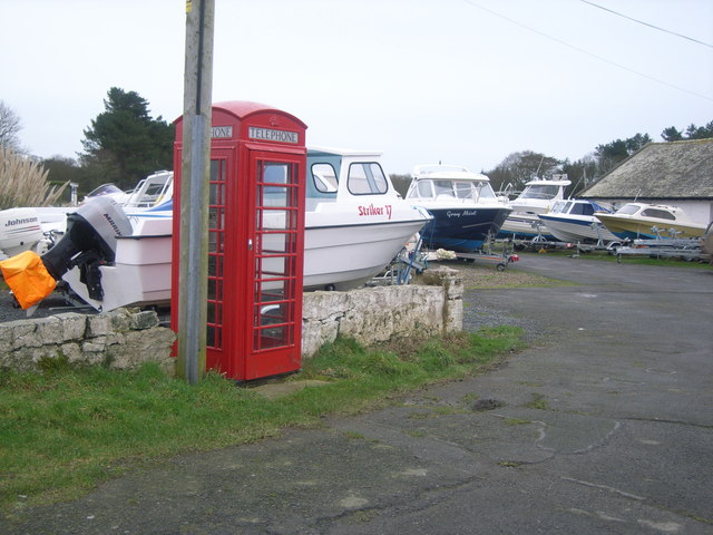
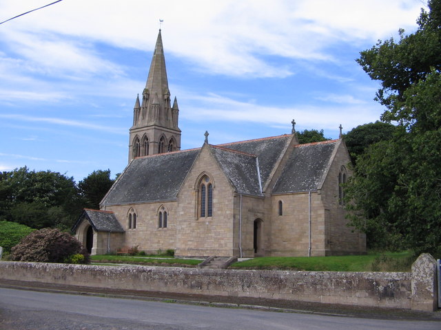
Images are sourced within 2km of 54.782323/-4.9476197 or Grid Reference NX1047. Thanks to Geograph Open Source API. All images are credited.

Ardwell bay, Rhins of Galloway about 10 miles South of Stranraer Seals lazing on the rocks during a lovely Winter afternoon.
Ardwell bay, Rhins of Galloway about 10 miles South of Stranraer
Seals lazing on the rocks during a lovely Winter afternoon.
Ardwell House, Ardwell, Wigtownshire The estate house at Ardwell owned by and occupied by the Brewis family.
Ardwell House, Ardwell, Wigtownshire
The estate house at Ardwell owned by and occupied by the Brewis family.
An old cartpath and bridge within Ardwell Estate This old bridge is close to Ardwell houses, Ardwell, about 10 miles South of Stranraer.
An old cartpath and bridge within Ardwell Estate
This old bridge is close to Ardwell houses, Ardwell, about 10 miles South of Stranraer.
The remains of a Motte and Bailey castle, Ardwell, Stranraer These are all that remain of a Motte and Bailey castle within the grounds of Ardwell House, Ardwell, Stranraer. The modern OS maps have it marked as Ardwell Motte and the shape is unmistakable. When closer, the ditch around the Motte is still noticeable and in fact, the estate have built two wooden bridges over the ditch, one at either side of a marked walk.
The remains of a Motte and Bailey castle, Ardwell, Stranraer
These are all that remain of a Motte and Bailey castle within the grounds of Ardwell House, Ardwell, Stranraer. The modern OS maps have it marked as Ardwell Motte and the shape is unmistakable. When closer, the ditch around the Motte is still noticeable and in fact, the estate have built two wooden bridges over the ditch, one at either side of a marked walk.
Chapel Rossan Bay looking across to Ardwell village and caravan site. Chapel Rossan Bay taken from Chapel Rossan and looking across to Ardwell village, about 10 miles South of Stranraer.
Chapel Rossan Bay looking across to Ardwell village and caravan site.
Chapel Rossan Bay taken from Chapel Rossan and looking across to Ardwell village, about 10 miles South of Stranraer.
Ardwell Church, Ardwell, Stranraer Ardwell Church, Ardwell, Stranraer built in 1902.
Ardwell Church, Ardwell, Stranraer
Ardwell Church, Ardwell, Stranraer built in 1902.
Ardwell Church
Ardwell Church
Lane near Ardwell Church On the opposite side of the road, running south.
Lane near Ardwell Church
On the opposite side of the road, running south.
MoD Lookout on Luce Bay There is a barrier here, restricting access to the shore when military activities are underway.
MoD Lookout on Luce Bay
There is a barrier here, restricting access to the shore when military activities are underway.
Drumantrae On the shore of Luce Bay, looking north.
Drumantrae
On the shore of Luce Bay, looking north.
The Dyemill, Near Sandhead Now a private dwelling, the Dye Mill was once powered by the Alwhibbie Burn to mill seaweed and obtain a brown dye.  Seaweed was one of Scotland's most valuable natural resources.
The Dyemill, Near Sandhead
Now a private dwelling, the Dye Mill was once powered by the Alwhibbie Burn to mill seaweed and obtain a brown dye. Seaweed was one of Scotland's most valuable natural resources.
Shoreline, Sandhead bay This shore is at the south end of Sandhead Bay - part of Luce Bay
Shoreline, Sandhead bay
This shore is at the south end of Sandhead Bay - part of Luce Bay
Ardwell Telephone Box
Summer on the Mull Of Galloway
Ardwell Church
Ardwell Church
Carved farm sign for Barhill farm
Ardwell House The house was built in the early 18th century. It has been in the McTaggart family since before 1800.
Ardwell House
The house was built in the early 18th century. It has been in the McTaggart family since before 1800.
Carved stone family crest This owl carving is the crest of the MacTaggart family owners of Ardwell House
Carved stone family crest
This owl carving is the crest of the MacTaggart family owners of Ardwell House
Show me another place!

Clay Hill is located at Grid Ref: NX1047 (Lat: 54.782323, Lng: -4.9476197)

Unitary Authority: Dumfries and Galloway

Police Authority: Dumfries and Galloway

What 3 Words

///fattest.december.prepped. Near Drummore, Dumfries & Galloway

Nearby Locations

Alwhibbie Glen Clay Hill

Related Wikis

Ardwell

Ardwell (from Gaelic Àrd Bhaile meaning "high town", pronounced as "Ardwell") is a village in the Scottish unitary council area of Dumfries and Galloway...

Sandhead

Sandhead is a small village in Dumfries and Galloway, south west Scotland. It overlooks Luce Bay, 7 miles south of Stranraer. The old main road, named...

Clachanmore

Clachanmore is a village in the South Rhins of Galloway near Ardwell in the south west of Scotland. It has also been known as Low Ardwell.The name of the...

Logan Botanic Garden

Logan Botanic Garden is a botanical garden near Port Logan on the Rhins of Galloway, at the south-western tip of Scotland. The Botanic Garden was established...

Nearby Amenities

Located within 500m of 54.782323,-4.9476197
Source: PGS
Lat/Long: 54.7799555/-4.9427317
Source: PGS
Lat/Long: 54.7807414/-4.9427019
Source: PGS
Lat/Long: 54.7817413/-4.9427231
Source: PGS
Lat/Long: 54.782158/-4.943023
Source: PGS
Lat/Long: 54.782374/-4.9434771
Source: PGS
Lat/Long: 54.7830726/-4.944308
Source: PGS
Lat/Long: 54.783657/-4.9448019
Source: PGS
Lat/Long: 54.7839652/-4.9449931
Source: PGS
Lat/Long: 54.7842862/-4.9454382
Source: PGS
Lat/Long: 54.7846623/-4.9458018
Source: PGS
Lat/Long: 54.7851137/-4.9462497
Source: PGS
Lat/Long: 54.785717/-4.9465058
Source: PGS
Lat/Long: 54.786543/-4.9466441
Auchleach
Place: farm
Lat/Long: 54.782336/-4.9525408
Power: pole
Lat/Long: 54.7819652/-4.9549259
Power: pole
Lat/Long: 54.7822706/-4.9541653
Power: pole
Lat/Long: 54.7827999/-4.952846
Power: pole
Lat/Long: 54.7832273/-4.9522096
Power: pole
Lat/Long: 54.7838325/-4.9513055
Power: pole
Lat/Long: 54.7844493/-4.9503977
Power: pole
Lat/Long: 54.785061/-4.9494972
Power: pole
Lat/Long: 54.7856573/-4.948597
Power: pole
Lat/Long: 54.7862861/-4.9476812
Power: pole
Lat/Long: 54.7840004/-4.9489404
Power: pole
Lat/Long: 54.7835182/-4.9474096
Power: pole
Lat/Long: 54.783008/-4.9457702
Power: pole
Lat/Long: 54.7820267/-4.9536764
Power: pole
Lat/Long: 54.7816306/-4.952846
Power: pole
Lat/Long: 54.7811294/-4.9517265
Power: pole
Lat/Long: 54.7806102/-4.9505954
Power: pole
Lat/Long: 54.7801313/-4.9495748
Power: pole
Lat/Long: 54.7797509/-4.948727
Power: pole
Lat/Long: 54.7793782/-4.9478985
Power: pole
Lat/Long: 54.7789307/-4.9469556
Power: pole
Lat/Long: 54.7785155/-4.9460515
Power: pole
Lat/Long: 54.7781216/-4.9451959
The data included in this document is from www.openstreetmap.org. The data is made available under ODbL.

Have you been to Clay Hill?

Leave your review of Clay Hill below (or comments, questions and feedback).