Jordan Valley
Valley in Cornwall
England
Jordan Valley
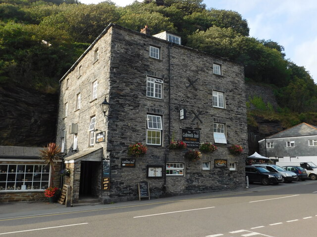
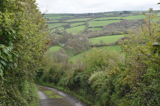
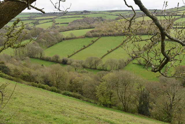
Jordan Valley, also known as Valley, is a small village located in the picturesque county of Cornwall, in southwestern England. Situated within the beautiful region of West Penwith, the village is nestled in a valley surrounded by rolling hills and stunning natural landscapes.
The village is home to a close-knit community, with a population of around 500 residents. Valley offers a peaceful and serene atmosphere, making it an ideal place for those seeking a quiet and tranquil lifestyle. The village is characterized by its traditional Cornish charm, with quaint cottages and historic buildings lining its streets.
Despite its small size, Valley boasts a range of amenities and facilities to cater to the needs of its residents. These include a local pub, a village hall, a post office, and a small convenience store. The village also benefits from a primary school, providing education for local children.
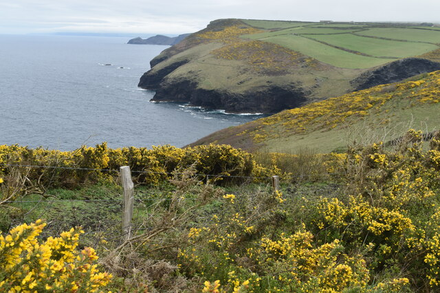
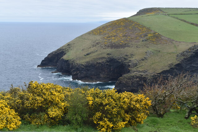
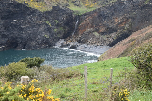
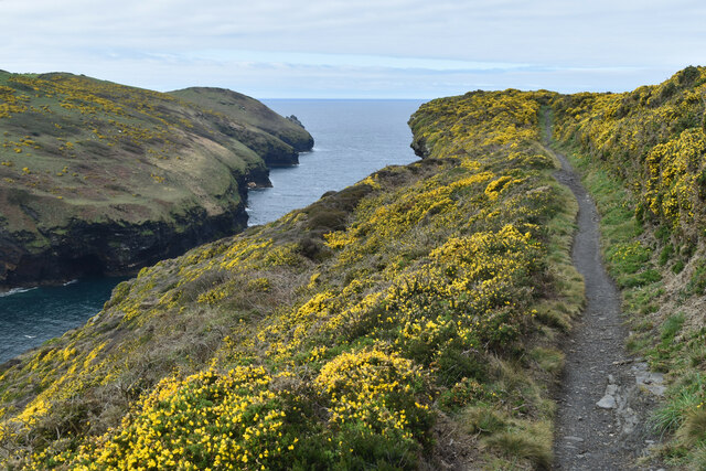
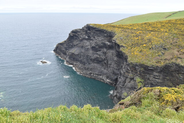
Surrounded by breathtaking countryside, Valley offers numerous opportunities for outdoor activities and exploration. The nearby landscape is dotted with ancient ruins, standing stones, and prehistoric sites, providing a glimpse into the region's rich history. The village is also in close proximity to several sandy beaches, including the popular Porthcawl Beach, which attracts visitors from near and far.
Overall, Jordan Valley, Cornwall (Valley) is a charming and idyllic village, offering a peaceful and close-knit community, stunning natural scenery, and a range of amenities for its residents to enjoy.
If you have any feedback on the listing, please let us know in the comments section below.
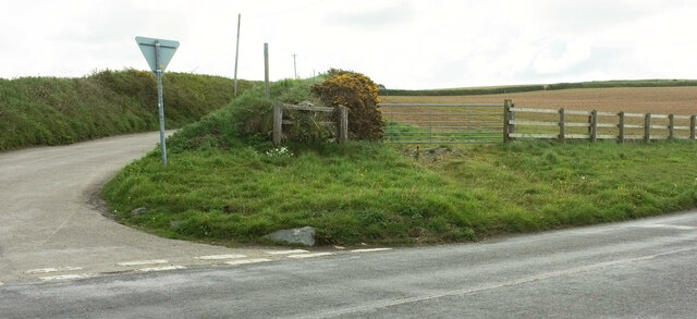
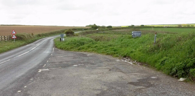
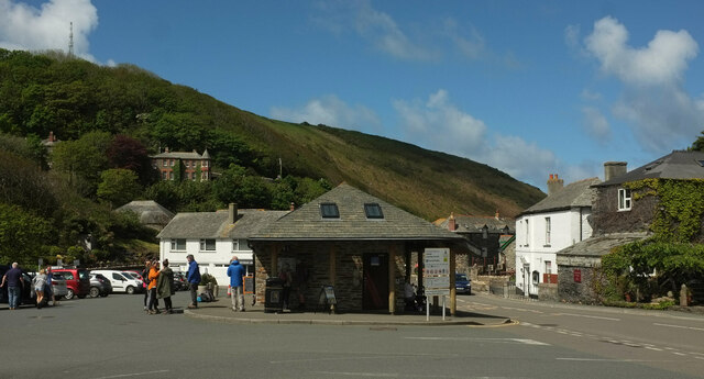
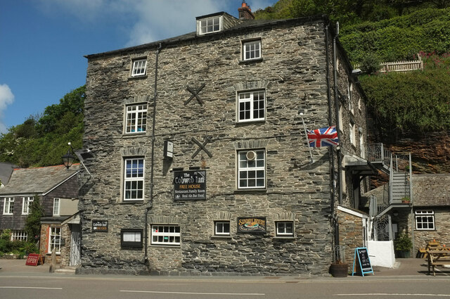
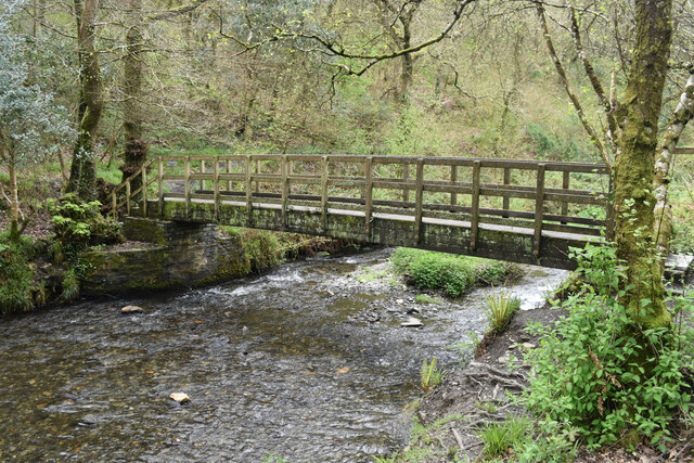
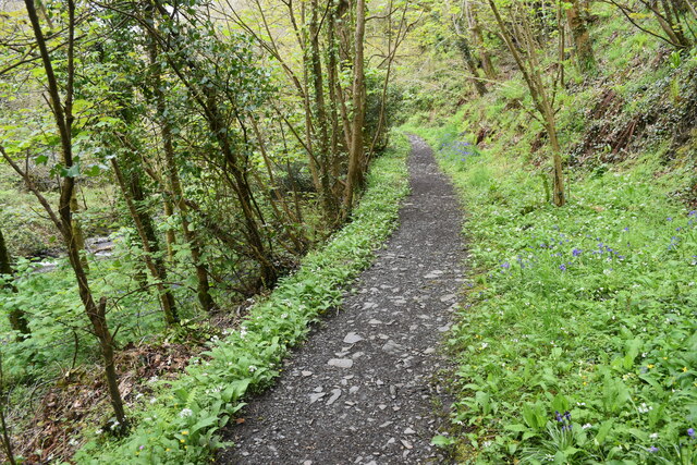
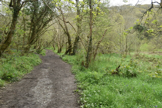
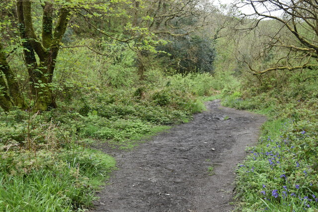
Jordan Valley Images
Images are sourced within 2km of 50.684412/-4.689528 or Grid Reference SX1090. Thanks to Geograph Open Source API. All images are credited.

Jordan Valley is located at Grid Ref: SX1090 (Lat: 50.684412, Lng: -4.689528)
Unitary Authority: Cornwall
Police Authority: Devon and Cornwall
What 3 Words
///nails.ounce.lengthen. Near Tintagel, Cornwall
Nearby Locations
Related Wikis
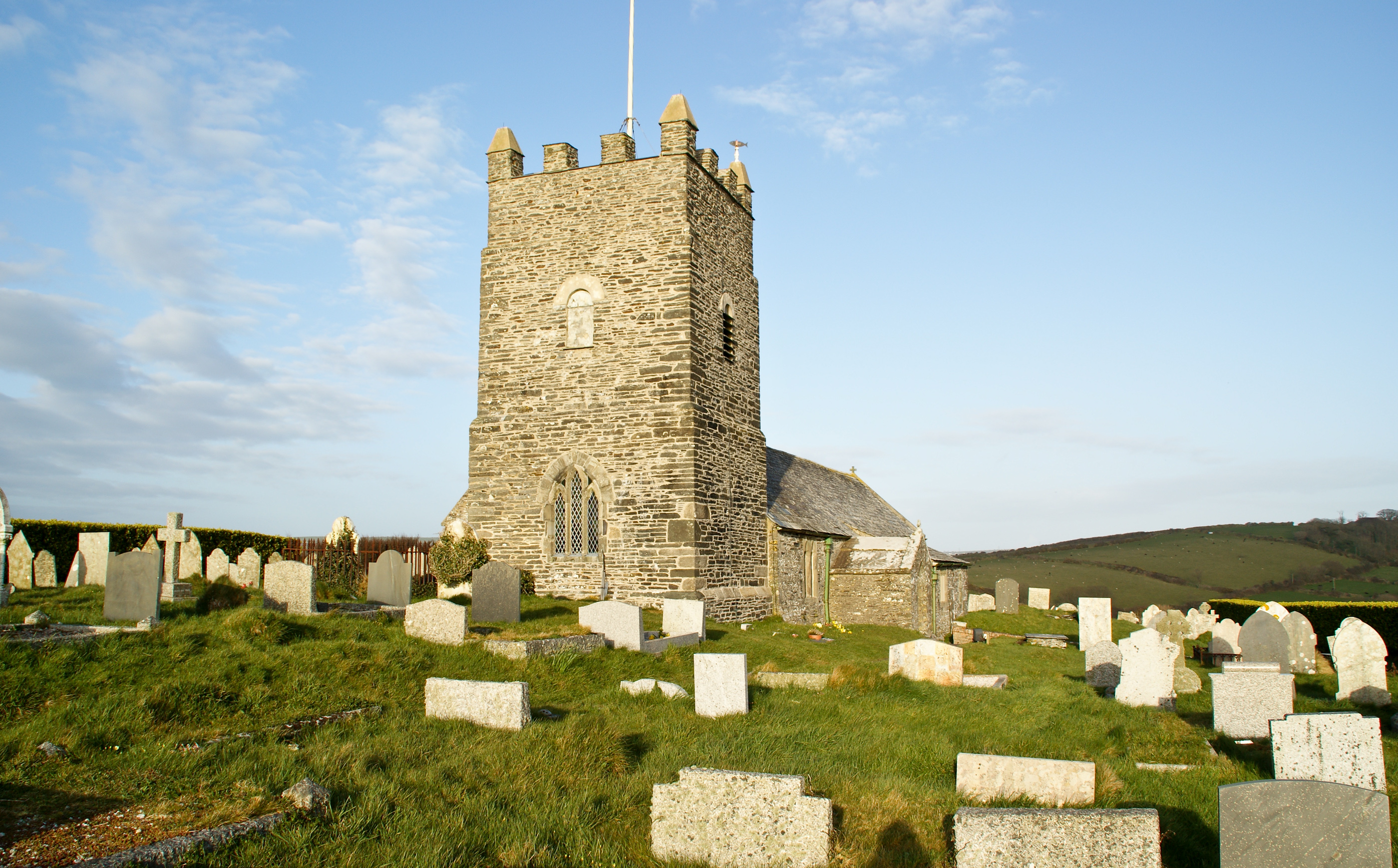
Forrabury and Minster
Forrabury and Minster is a civil parish on the north coast of Cornwall, England, United Kingdom. The parish was originally divided between the coastal...

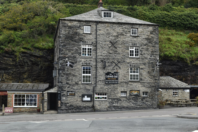
Boscastle
Boscastle (Standard Written Form: Kastel Boterel) is a village and fishing port on the north coast of Cornwall, England, in the civil parish of Forrabury...

Museum of Witchcraft and Magic
The Museum of Witchcraft and Magic, formerly known as the Museum of Witchcraft, is a museum dedicated to European witchcraft and magic located in the village...
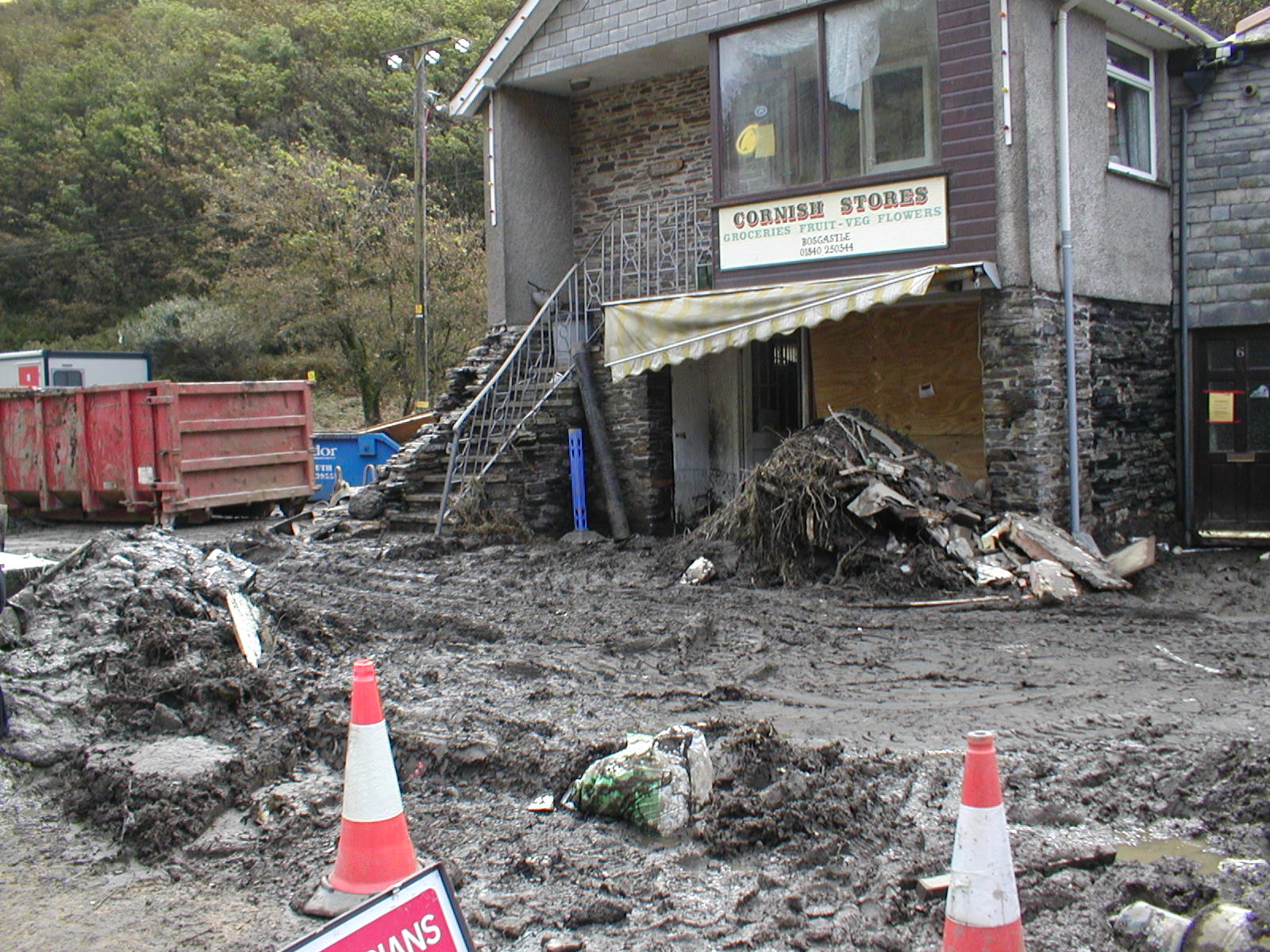
2004 Boscastle flood
The 2004 Boscastle flood (Cornish: An Lanwes Kastel Boterel 2004) occurred on Monday, 16 August 2004 in the two villages of Boscastle and Crackington Haven...
Nearby Amenities
Located within 500m of 50.684412,-4.689528Have you been to Jordan Valley?
Leave your review of Jordan Valley below (or comments, questions and feedback).