Minster Wood
Wood, Forest in Cornwall
England
Minster Wood
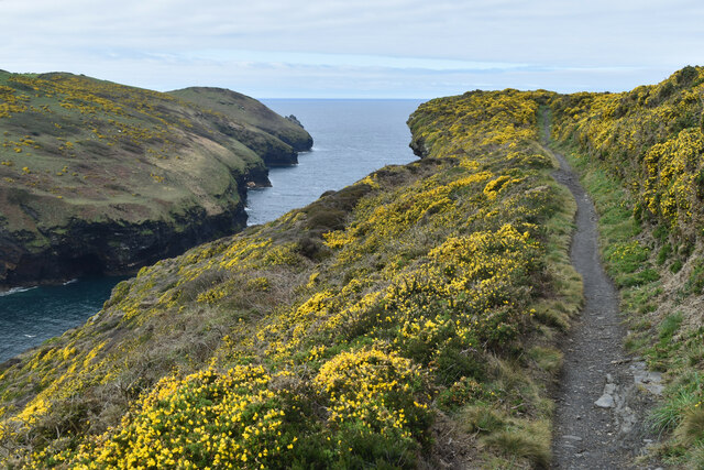
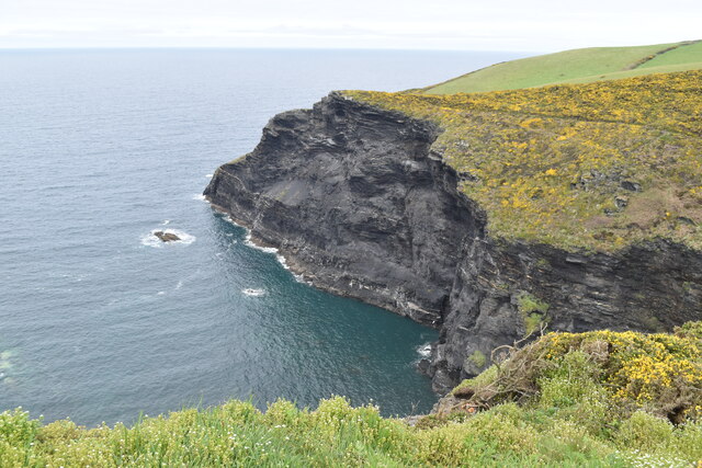
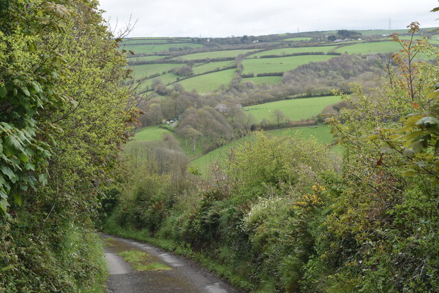
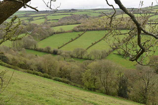
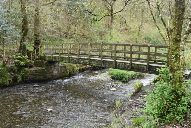
Minster Wood is a stunning forest located in Cornwall, England. Covering an area of approximately 200 acres, this ancient woodland is a haven for wildlife and nature enthusiasts alike. The wood is characterized by a diverse range of flora and fauna, including oak, beech, and hazel trees, as well as a variety of bird species such as woodpeckers and owls.
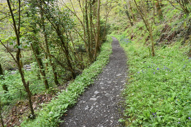
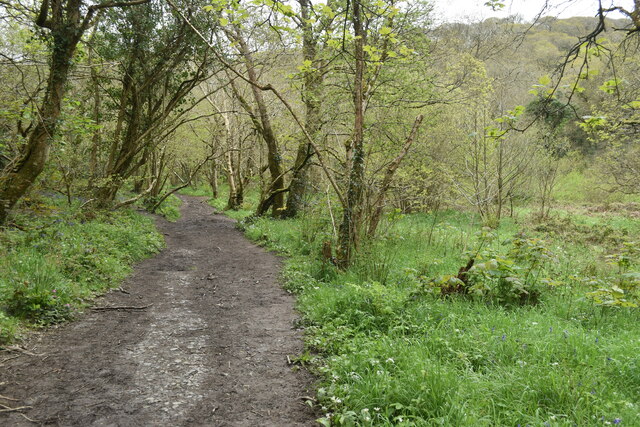
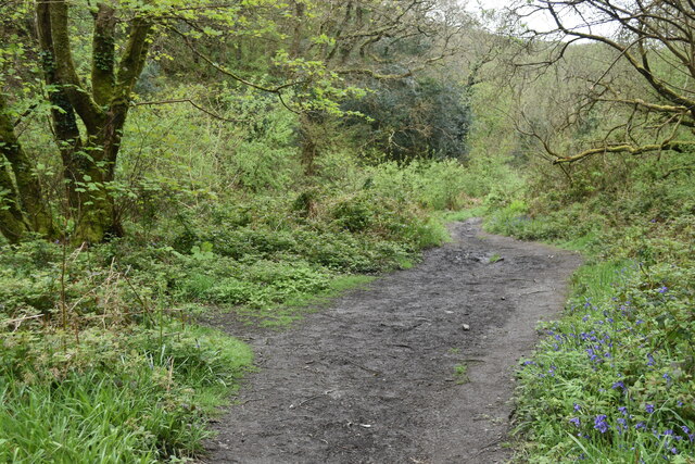
Visitors to Minster Wood can enjoy peaceful walks along the well-maintained paths that wind through the forest, providing opportunities to observe the natural beauty of the surroundings. The wood is also home to a number of historic sites, including remnants of ancient settlements and burial mounds, adding to its appeal for those interested in archaeology and history.
Minster Wood is a popular destination for outdoor enthusiasts looking to escape the hustle and bustle of city life and immerse themselves in the tranquility of nature. Whether for a leisurely stroll, birdwatching, or simply enjoying the peaceful ambiance of the forest, Minster Wood offers a serene and rejuvenating experience for all who visit.
If you have any feedback on the listing, please let us know in the comments section below.
Minster Wood Images
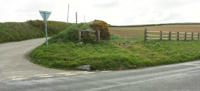
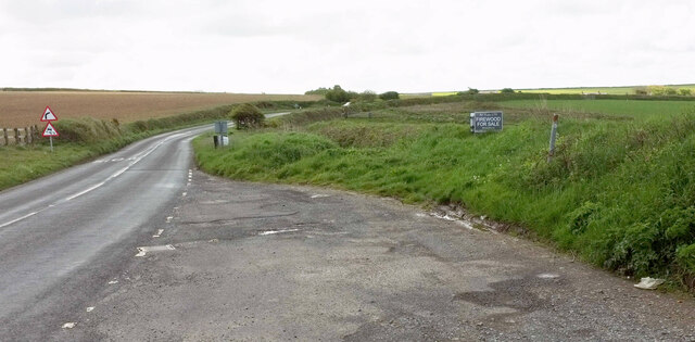
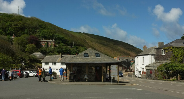
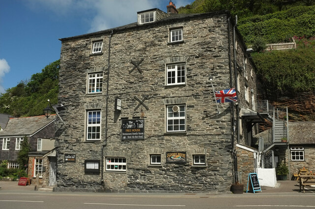
Images are sourced within 2km of 50.686262/-4.6783212 or Grid Reference SX1090. Thanks to Geograph Open Source API. All images are credited.


Minster Wood is located at Grid Ref: SX1090 (Lat: 50.686262, Lng: -4.6783212)
Unitary Authority: Cornwall
Police Authority: Devon and Cornwall
What 3 Words
///blocks.provoking.joins. Near Tintagel, Cornwall
Nearby Locations
Related Wikis
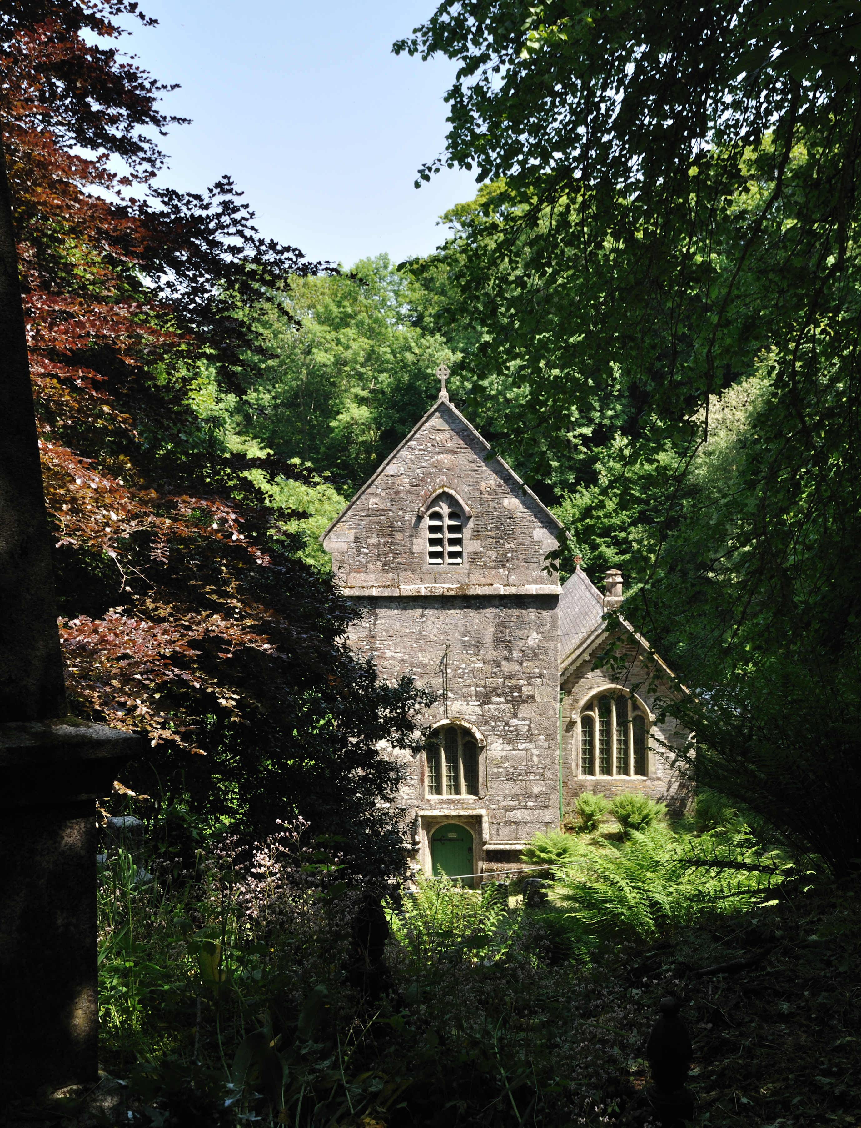
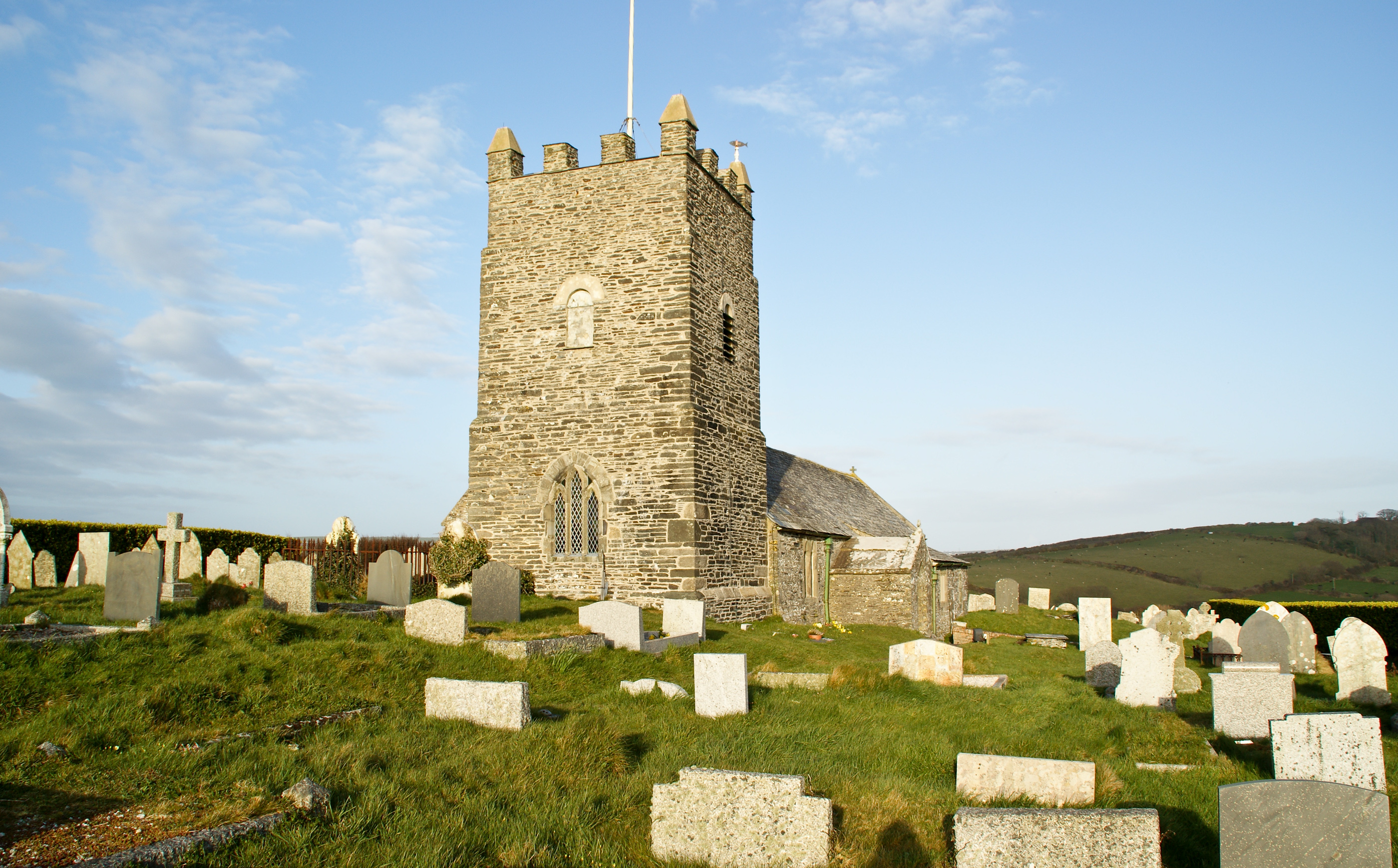
Forrabury and Minster parish churches
The civil parishes to which the Forrabury and Minster parish churches belong were united in 1919 to form Forrabury and Minster parish, within Cornwall...
Forrabury and Minster
Forrabury and Minster is a civil parish on the north coast of Cornwall, England, United Kingdom. The parish was originally divided between the coastal...

Museum of Witchcraft and Magic
The Museum of Witchcraft and Magic, formerly known as the Museum of Witchcraft, is a museum dedicated to European witchcraft and magic located in the village...

Boscastle
Boscastle (Standard Written Form: Kastel Boterel) is a village and fishing port on the north coast of Cornwall, England, in the civil parish of Forrabury...
Nearby Amenities
Located within 500m of 50.686262,-4.6783212Have you been to Minster Wood?
Leave your review of Minster Wood below (or comments, questions and feedback).