Lackford
Settlement in Suffolk West Suffolk
England
Lackford
Lackford is a charming village located in the county of Suffolk, England. Situated approximately 5 miles northwest of Bury St Edmunds, Lackford is nestled amidst picturesque countryside and offers a tranquil and idyllic setting for residents and visitors alike.
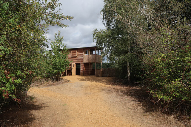
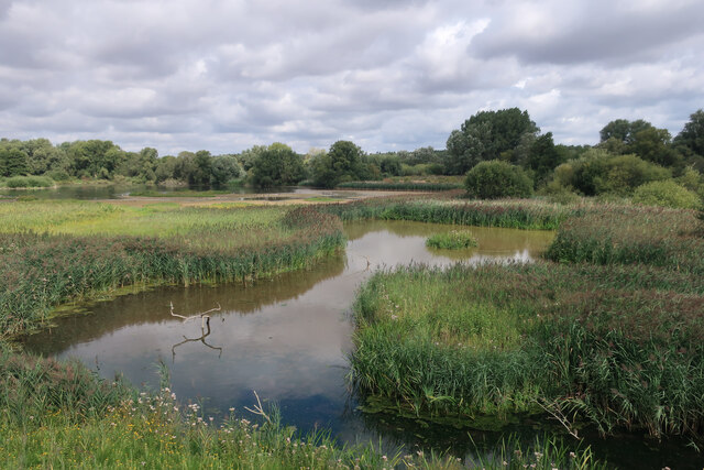
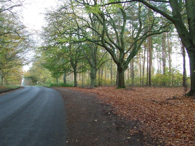
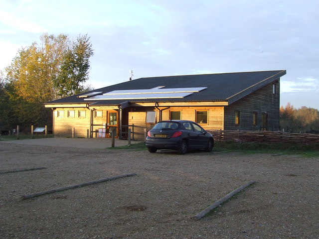
The village is known for its natural beauty, with Lackford Lakes Nature Reserve being a prominent feature. This reserve, managed by Suffolk Wildlife Trust, is a haven for birdwatchers and nature enthusiasts, boasting a range of habitats including woodland, reedbeds, and open water. The reserve offers various walking trails and bird hides, allowing visitors to observe a diverse array of wildlife species.
Lackford is also home to St. Lawrence's Church, a historic place of worship dating back to the 12th century. The church's architecture showcases a mix of styles from different periods, including Norman and Gothic elements. Its peaceful graveyard and well-maintained surroundings offer a serene spot for reflection and contemplation.
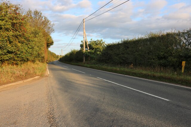
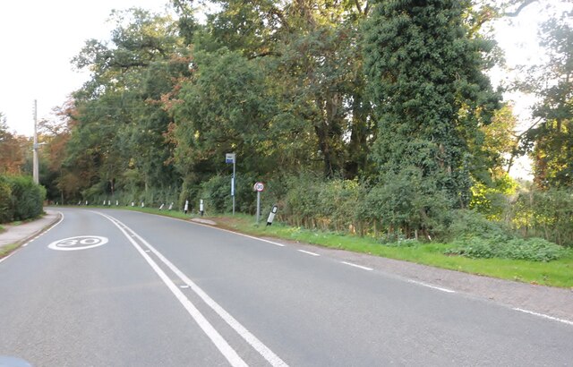
Although Lackford is a small village, it benefits from excellent transport links, with the A1101 road passing through the nearby village of Icklingham. Additionally, Bury St Edmunds provides easy access to amenities such as shops, schools, and medical facilities.
Overall, Lackford offers a delightful blend of natural beauty, historical charm, and convenient proximity to nearby towns. It is a place where residents and visitors can escape the hustle and bustle of city life and immerse themselves in the tranquility of the Suffolk countryside.
If you have any feedback on the listing, please let us know in the comments section below.
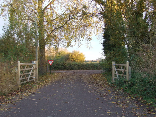
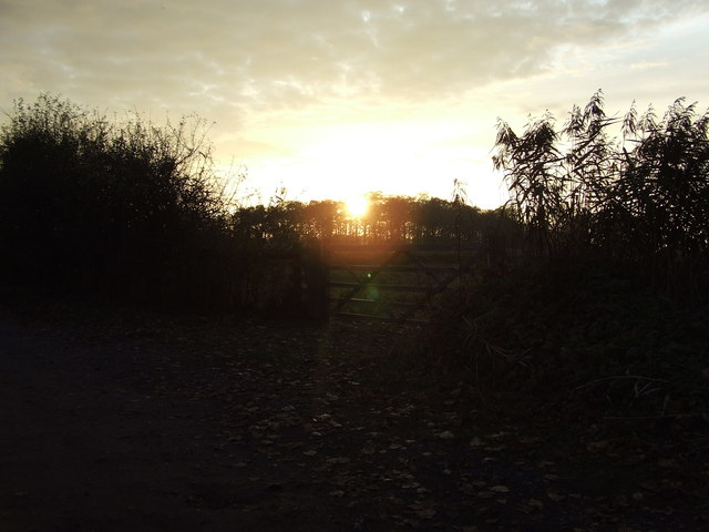
Lackford Images
Images are sourced within 2km of 52.301138/0.62732555 or Grid Reference TL7970. Thanks to Geograph Open Source API. All images are credited.
Lackford is located at Grid Ref: TL7970 (Lat: 52.301138, Lng: 0.62732555)
Administrative County: Suffolk
District: West Suffolk
Police Authority: Suffolk
What 3 Words
///directors.home.action. Near Bury St Edmunds, Suffolk
Nearby Locations
Related Wikis

Lackford
Lackford is a village and civil parish in the West Suffolk district of Suffolk in eastern England. Located around four miles north-west of Bury St Edmunds...

Lackford Lakes
Lackford Lakes is a 105.8-hectare (261-acre) biological Site of Special Scientific Interest (SSSI) north and east of Lackford in Suffolk. The SSSI is part...

West Stow Heath
West Stow Heath is a 44.3-hectare (109-acre) biological Site of Special Scientific Interest west of West Stow in Suffolk. It is part of the Breckland Special...

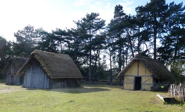
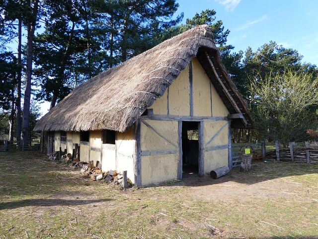
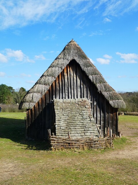
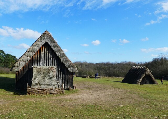
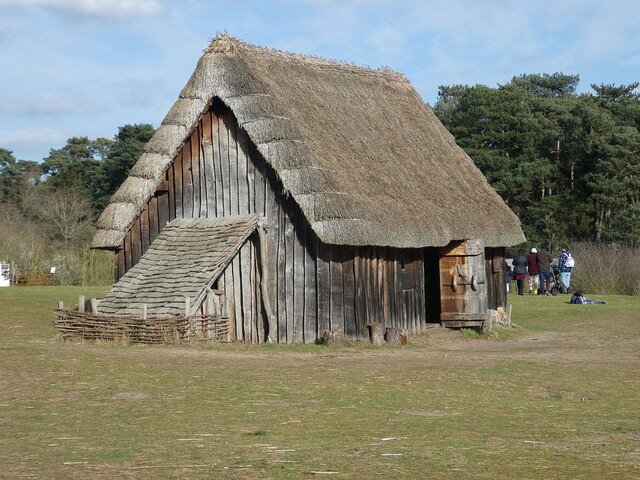
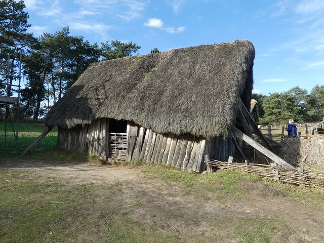
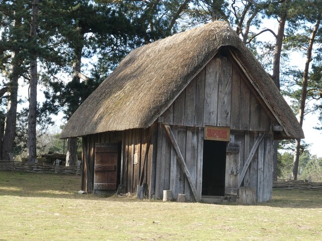
West Stow Anglo-Saxon Village
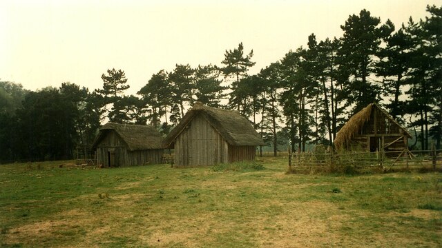
West Stow Anglo-Saxon Village is an archaeological site and an open-air museum located near to West Stow in Suffolk, eastern England. Evidence for intermittent...

Flempton
Flempton is a village and civil parish in the West Suffolk district of Suffolk, England. It is on the A1101 road 5 miles NW from Bury St Edmunds. Flempton...

Black Ditches, Cavenham
Black Ditches is an earthwork close to the village of Cavenham of Suffolk, and part of it is a biological Site of Special Scientific Interest (SSSI). The...

West Stow Hall
West Stow Hall is a Tudor manor house in West Stow, Suffolk, England, near Bury St Edmunds. It was begun in around 1520 for Sir John Croftes, Master of...

Icklingham
Icklingham is a village and civil parish in the West Suffolk district of Suffolk in eastern England. It is located about 7 miles (11 km) north-west of...
Nearby Amenities
Located within 500m of 52.301138,0.62732555Have you been to Lackford?
Leave your review of Lackford below (or comments, questions and feedback).