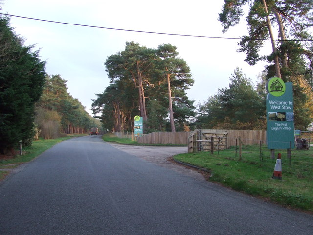
West Stow Country Park
Downs, Moorland in Suffolk West Suffolk
England
West Stow Country Park
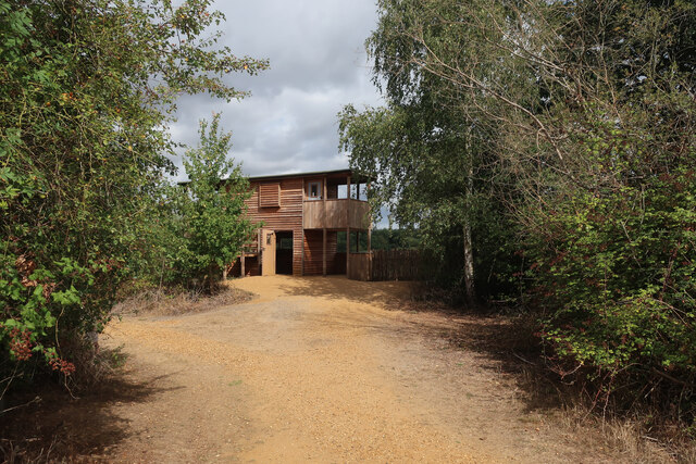
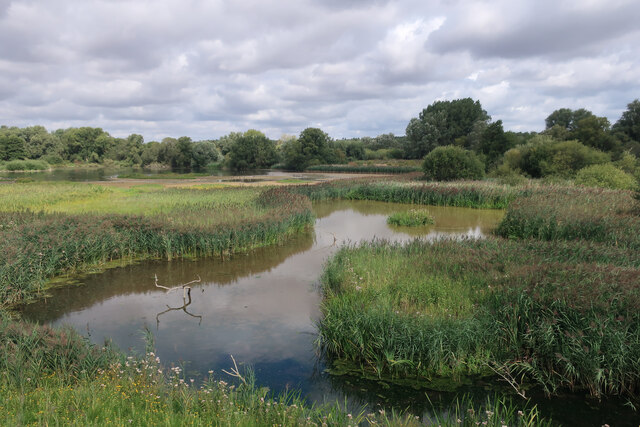
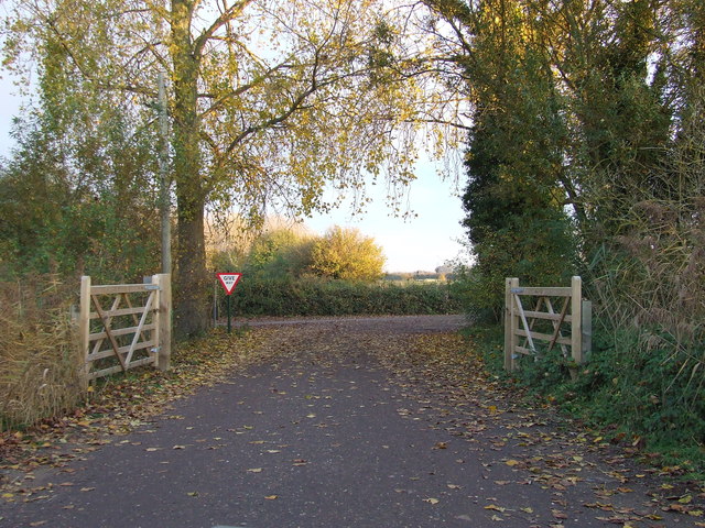
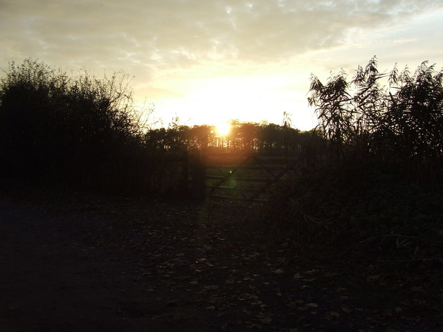
West Stow Country Park is a picturesque nature reserve located in Suffolk, East Anglia, England. Spanning over 50 hectares, the park offers a diverse range of landscapes including downs, heathland, and woodland, making it a haven for nature enthusiasts and outdoor lovers.
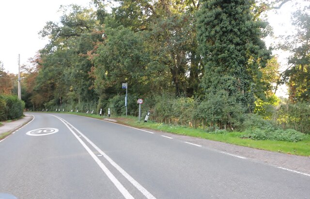
The downs in the park provide breathtaking views of the surrounding countryside, with gently rolling hills covered in lush green grass. These open spaces are ideal for picnicking, kite flying, or simply enjoying a leisurely walk while taking in the serene ambiance.
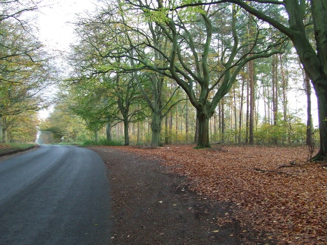
The moorland section of the park is home to a variety of unique plant and animal species. Visitors can explore the heathland, characterized by its purple heather and gorse bushes, which provide a vibrant burst of color during the summer months. The moorland also serves as a habitat for rare wildlife, including several species of birds and insects.
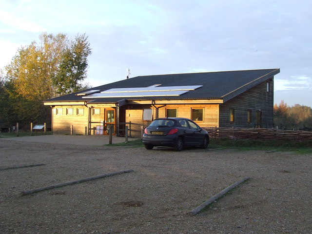
Aside from its natural beauty, West Stow Country Park offers a range of recreational activities for visitors. There are numerous walking trails and cycling routes that wind through the park, allowing visitors to explore its diverse landscapes at their own pace. The park also features a children's play area and a visitor center, which provides information about the park's history, wildlife, and conservation efforts.
Overall, West Stow Country Park is a tranquil and picturesque destination that offers a unique blend of downs, moorland, and woodland, making it a must-visit location for those seeking a peaceful escape in the heart of Suffolk.
If you have any feedback on the listing, please let us know in the comments section below.
West Stow Country Park Images
Images are sourced within 2km of 52.306923/0.63004479 or Grid Reference TL7970. Thanks to Geograph Open Source API. All images are credited.
West Stow Country Park is located at Grid Ref: TL7970 (Lat: 52.306923, Lng: 0.63004479)
Administrative County: Suffolk
District: West Suffolk
Police Authority: Suffolk
What 3 Words
///captures.answers.pokes. Near Bury St Edmunds, Suffolk
Nearby Locations
Related Wikis

West Stow Heath
West Stow Heath is a 44.3-hectare (109-acre) biological Site of Special Scientific Interest west of West Stow in Suffolk. It is part of the Breckland Special...

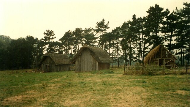
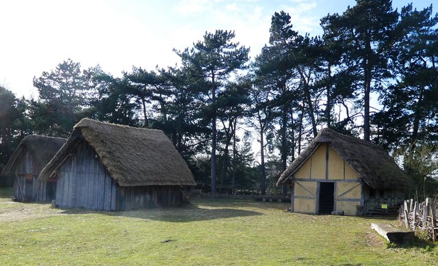
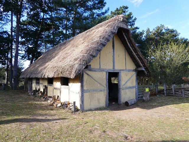
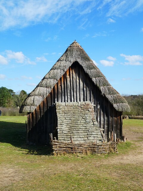
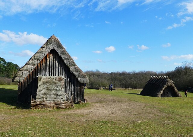
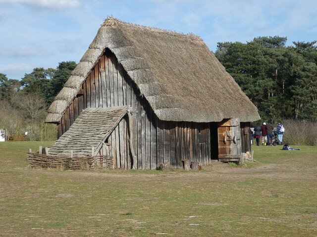
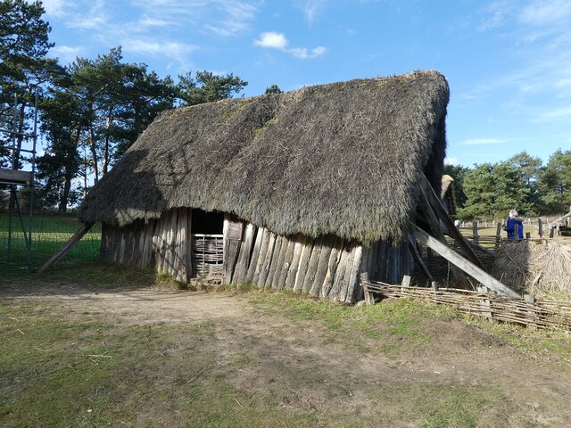
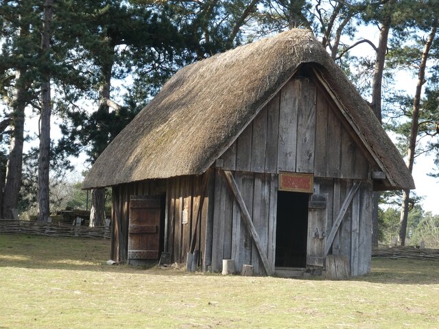
West Stow Anglo-Saxon Village
West Stow Anglo-Saxon Village is an archaeological site and an open-air museum located near to West Stow in Suffolk, eastern England. Evidence for intermittent...

Lackford
Lackford is a village and civil parish in the West Suffolk district of Suffolk in eastern England. Located around four miles north-west of Bury St Edmunds...

Lackford Lakes
Lackford Lakes is a 105.8-hectare (261-acre) biological Site of Special Scientific Interest (SSSI) north and east of Lackford in Suffolk. The SSSI is part...

Flempton
Flempton is a village and civil parish in the West Suffolk district of Suffolk, England. It is on the A1101 road 5 miles NW from Bury St Edmunds. Flempton...

West Stow Hall
West Stow Hall is a Tudor manor house in West Stow, Suffolk, England, near Bury St Edmunds. It was begun in around 1520 for Sir John Croftes, Master of...

All Saints' Church, Icklingham
All Saints' Church is a redundant Anglican church in the village of Icklingham, Suffolk, England. It is recorded in the National Heritage List for England...

West Stow
West Stow is a small village and civil parish in West Suffolk, England. The village lies north of Bury St. Edmunds, south of Mildenhall and Thetford and...
Nearby Amenities
Located within 500m of 52.306923,0.63004479Have you been to West Stow Country Park?
Leave your review of West Stow Country Park below (or comments, questions and feedback).