Laceby

Settlement in Lincolnshire

England

Laceby

Field path near Irby Upon Humber
Field path near Irby Upon Humber Credit: David Brown

Laceby is a small village located in the county of Lincolnshire, England. Situated approximately 5 miles southwest of the town of Grimsby, Laceby is a rural community that boasts a population of around 2,000 residents. The village is well-connected, with easy access to the A46 road, which connects it to nearby towns and cities.

Laceby is known for its picturesque surroundings, characterized by rolling countryside, farmland, and charming cottages. The village retains its traditional English village charm, with a mix of historic and modern buildings. The centerpiece of Laceby is St. Margaret's Church, a beautiful 12th-century structure that adds to the village's architectural appeal.

Despite its small size, Laceby offers a range of amenities and services to its residents. These include a primary school, a village hall, a local convenience store for everyday needs, and a few small businesses. The village is also home to a pub, the Blacksmiths Arms, which provides a warm and friendly atmosphere for locals and visitors.

Laceby is surrounded by natural beauty and offers numerous opportunities for outdoor activities. The nearby Lincolnshire Wolds, an Area of Outstanding Natural Beauty, provide ample space for hiking, cycling, and exploring the countryside. The village is also conveniently located near the coast, with Cleethorpes beach just a short drive away, offering residents the chance to enjoy the seaside.

In summary, Laceby is a charming village in Lincolnshire, known for its rural beauty, historic church, and close-knit community. With its tranquil surroundings and convenient location, it provides a peaceful and idyllic place to live or visit.

If you have any feedback on the listing, please let us know in the comments section below.
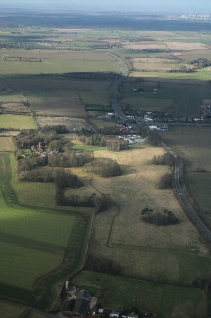
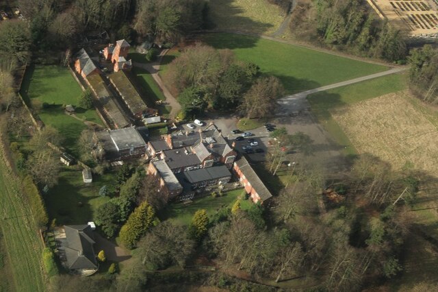
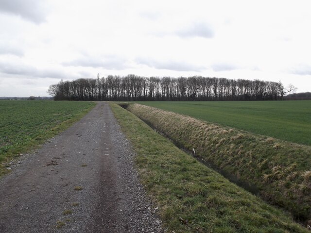
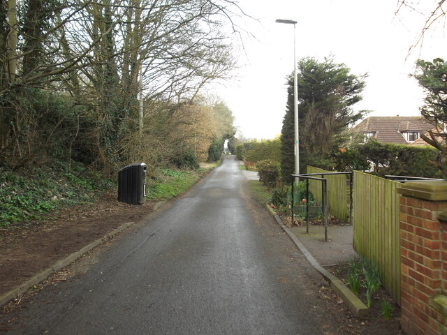
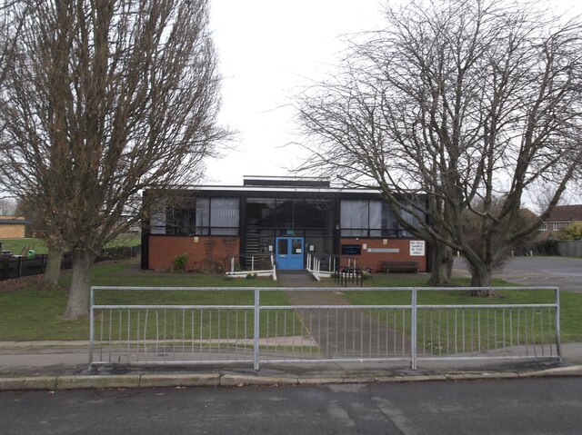
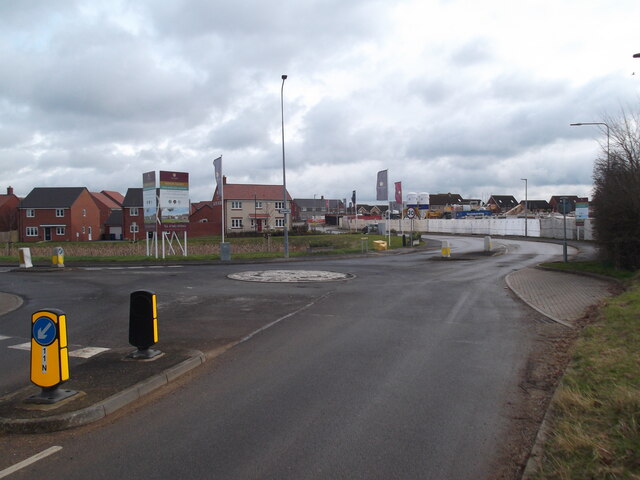
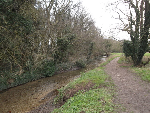
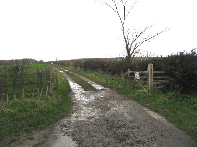
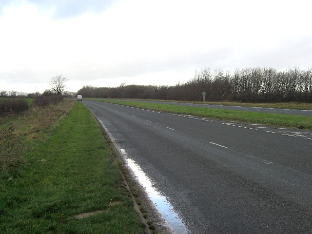
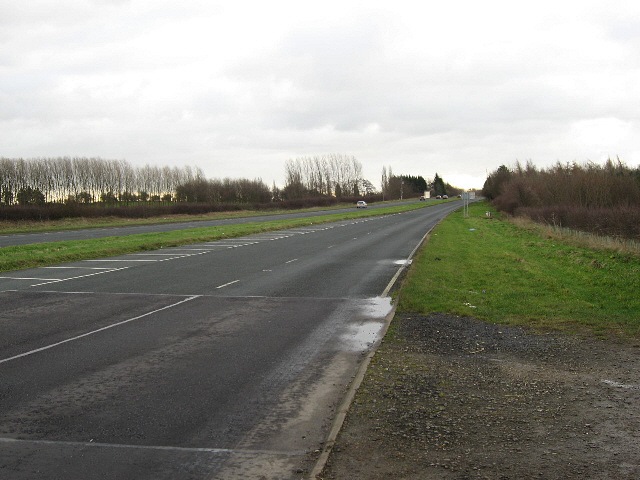
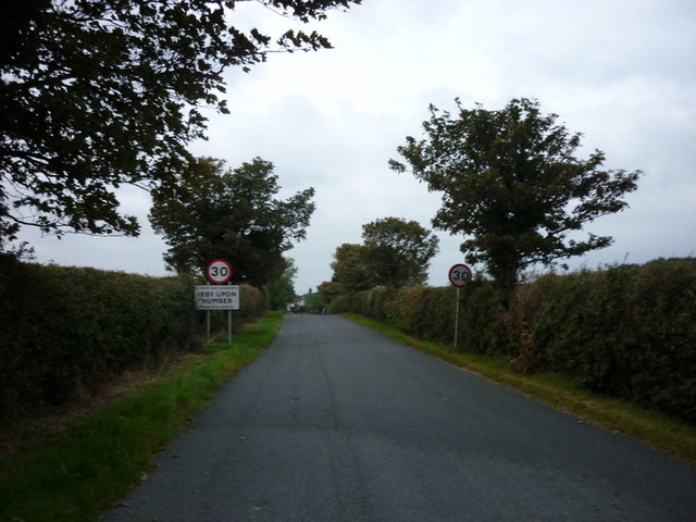
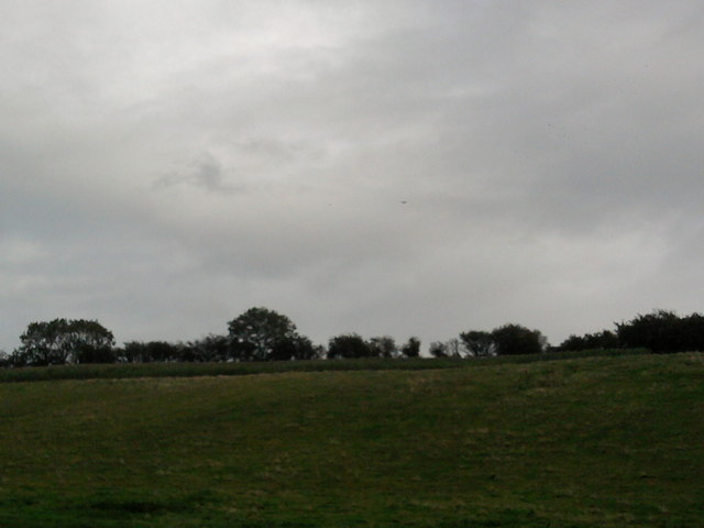
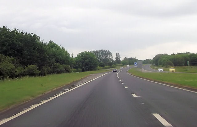
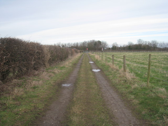
Laceby Images

Images are sourced within 2km of 53.541148/-0.169076 or Grid Reference TA2106. Thanks to Geograph Open Source API. All images are credited.
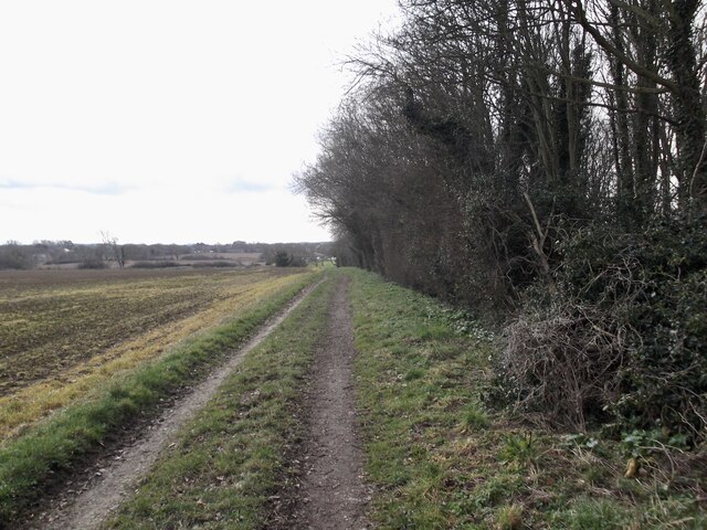
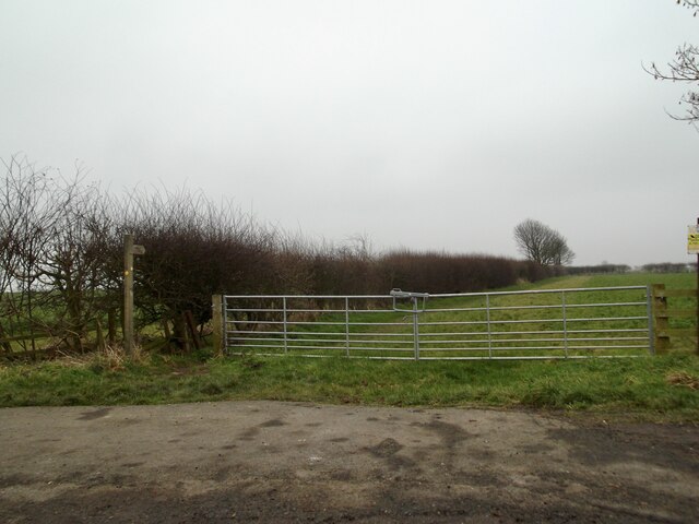
Field path near Irby Upon Humber
Oaklands Hotel and area, Irby upon Humber: aerial 2022
Oaklands Hotel, Irby upon Humber: aerial 2022
A small wood by the Aylesby path
Aylesby Lane
Aylesby Lane
Cooper Lane, Laceby
Cooper Lane, Laceby
Stanford Centre and Library
New builds in Laceby
Laceby Beck
Laceby Beck
It's Not Difficult To Swallow A Public Bridleway from the A18 near Aylesby to the A46 approaching Swallow.
It's Not Difficult To Swallow
A Public Bridleway from the A18 near Aylesby to the A46 approaching Swallow.
The A18 Near Aylesby.
The A18
Near Aylesby.
Approaching Laceby Junction On the A18.
Approaching Laceby Junction
On the A18.
Entering Irby upon Humber
Irby Dales Look closely and there is a light aircraft and a Kestrel fairly central to the photo
Irby Dales
Look closely and there is a light aircraft and a Kestrel fairly central to the photo
A18 south approaching Aylesby turning
Washingdales Lane near Riby A dead-end lane with its own turn-out over a busy dual carriageway, passed every day on the way to work, eventually aroused curiosity: where could it lead?
See: <a href="https://www.geograph.org.uk/photo/3098722">TA1806 : Washing Dales</a>; <a href="https://www.geograph.org.uk/photo/309871">SU2498 : House in Kelmscott</a>]; <a href="https://www.geograph.org.uk/photo/3098704">TA1806 : Washing Dales Farm</a>; <a href="https://www.geograph.org.uk/photo/3098699">TA1806 : Washing Dales  Farm</a>; <a href="https://www.geograph.org.uk/photo/3098738">TA1906 : Washingdales Lane: Reservoir</a> for the answers!
Washingdales Lane near Riby
A dead-end lane with its own turn-out over a busy dual carriageway, passed every day on the way to work, eventually aroused curiosity: where could it lead? See: TA1806 : Washing Dales; SU2498 : House in Kelmscott]; TA1806 : Washing Dales Farm; TA1806 : Washing Dales Farm; TA1906 : Washingdales Lane: Reservoir for the answers!
Bridleway from Irby to Aylesby Approaching Barton Street.
Bridleway from Irby to Aylesby
Approaching Barton Street.
Animal track to the woods I couldn't find any clear prints to find out what animal has made this distinct path.
Animal track to the woods
I couldn't find any clear prints to find out what animal has made this distinct path.
Show me another place!

Laceby is located at Grid Ref: TA2106 (Lat: 53.541148, Lng: -0.169076)

Division: Parts of Lindsey

Unitary Authority: North East Lincolnshire

Police Authority: Humberside

What 3 Words

///workloads.voice.cheerily. Near Laceby, Lincolnshire

Nearby Locations

Laceby Laceby

Related Wikis

Church of St Margaret, Laceby

The Church of St Margaret is the Anglican Grade I listed parish church for the village of Laceby in Lincolnshire. Listed since 1967 and dedicated to St...

Laceby

Laceby is a village and civil parish in North East Lincolnshire, England. It is situated on the A46 road, just outside the western boundary of Grimsby...

Borough of Cleethorpes

Cleethorpes was a local government district in Humberside, England from 1974 to 1996. It was granted borough status in 1975. It was formed on 1 April...

Aylesby

Aylesby is a village and civil parish in North East Lincolnshire, England. It is situated near the A18 road, approximately 4 miles (6 km) west from Cleethorpes...

Nearby Amenities

Located within 500m of 53.541148,-0.169076
Laceby
Is In District: North East Lincolnshire
Place: village
Lat/Long: 53.5418215/-0.1704012
Bus Stop
Church Lane
Naptan AtcoCode: 228000059297
Naptan Bearing: E
Naptan CommonName: Church Lane
Naptan Crossing: Church Lane
Naptan Indicator: adj
Naptan NaptanCode: gritmdw
Naptan Notes: none
Naptan Street: Grimsby Road
Naptan Verified: no
Source: naptan_import
Lat/Long: 53.5409414/-0.1683041
Bus Stop
George Butler Close
Naptan AtcoCode: 228000059299
Naptan Bearing: W
Naptan CommonName: George Butler Close
Naptan Crossing: George Butler Close
Naptan Indicator: adj
Naptan NaptanCode: gritpdw
Naptan Notes: none
Naptan PlusbusZoneRef: GRMSBYT
Naptan Street: Grimsby Road
Naptan Verified: no
Source: naptan_import
Lat/Long: 53.5409765/-0.1647257
Bus Stop
Grimsby Road
Naptan AtcoCode: 228000059300
Naptan Bearing: E
Naptan CommonName: Grimsby Road
Naptan Indicator: E-bound
Naptan Landmark: Red Houses
Naptan NaptanCode: gritwdw
Naptan Notes: none
Naptan PlusbusZoneRef: GRMSBYT
Naptan Street: Grimsby Road
Naptan Verified: no
Source: naptan_import
Lat/Long: 53.5416915/-0.1621139
Bus Stop
Church Lane
Naptan AtcoCode: 2280065044
Naptan Bearing: SW
Naptan CommonName: Church Lane
Naptan Crossing: Church Lane
Naptan Indicator: opp
Naptan NaptanCode: griawgp
Naptan Street: Grimsby Road
Naptan Verified: no
Source: naptan_import
Lat/Long: 53.5407717/-0.1683718
Bus Stop
George Butler Close
Naptan AtcoCode: 2280065045
Naptan Bearing: E
Naptan CommonName: George Butler Close
Naptan Crossing: George Butler Close
Naptan Indicator: opp
Naptan NaptanCode: gridagp
Naptan PlusbusZoneRef: GRMSBYT
Naptan Street: Grimsby Road
Naptan Verified: no
Source: naptan_import
Lat/Long: 53.5410935/-0.1647357
Bus Stop
Grimsby Road
Naptan AtcoCode: 2280065050
Naptan Bearing: SW
Naptan CommonName: Grimsby Road
Naptan Indicator: SW-bound
Naptan Landmark: Red Houses
Naptan NaptanCode: gridwgp
Naptan Street: Grimsby Road
Naptan Verified: no
Source: naptan_import
Lat/Long: 53.5414526/-0.1623657
Bus Stop
Caistor Road
Naptan AtcoCode: 2280065051
Naptan Bearing: NE
Naptan CommonName: Caistor Road
Naptan Crossing: Charles Avenue
Naptan Indicator: o/s 70
Naptan NaptanCode: grijagp
Naptan Street: Caistor Road
Naptan Verified: no
Source: naptan_import
Lat/Long: 53.5392049/-0.172318
Bus Stop
Caistor Road
Naptan AtcoCode: 2280065052
Naptan Bearing: SW
Naptan CommonName: Caistor Road
Naptan Crossing: Charles Avenue
Naptan Indicator: o/s 63
Naptan NaptanCode: grijdgp
Naptan Street: Caistor Road
Naptan Verified: no
Source: naptan_import
Lat/Long: 53.5389607/-0.1728115
Turning Circle
Lat/Long: 53.5404067/-0.1721958
Turning Circle
Lat/Long: 53.5400555/-0.1708359
Austin Garth
Place: neighbourhood
Source: Bing
Lat/Long: 53.543094/-0.1652203
Bicycle Parking
Bicycle Parking: stands
Capacity: 8
Covered: no
Lat/Long: 53.5430614/-0.1713176
Parking
Lat/Long: 53.5435309/-0.1748638
Post Office
Laceby Post Office
Addr City: Grimsby
Addr Country: GB
Addr Housenumber: 14
Addr Postcode: DN37 7HY
Addr Street: Caister Road
Addr Village: Laceby
Brand: Post Office
Brand Wikidata: Q1783168
Check Date: 2022-05-27
Check Date Opening Hours: 2022-05-27
Contact Website: https://www.postoffice.co.uk/branch-finder/3164586/laceby
Opening Hours: Mo-Fr 09:00-18:30; Sa 09:00-12:30; Su 08:00-20:00
Ref Pol Id: 122475
Lat/Long: 53.5404438/-0.1691617
Pub
The Royal British Legion
Addr City: Grimsby
Addr Country: GB
Addr Postcode: DN37 7BJ
Addr Street: Austin Garth
Addr Suburb: Laceby
Contact Facebook: https://www.facebook.com/OfficialPoppyLegion
Email: info@britishlegion.org.uk
Opening Hours: Su-Th 12:00-23:30; Fr,Sa 12:00-24:00
Outdoor Seating: yes
Phone: +44 1472 870 830
Website: https://www.britishlegion.org.uk/
Lat/Long: 53.5430767/-0.1678674
Post Box
Collection Times: Mo-Fr 09:00; Sa 07:00
Operator: Royal Mail
Operator Wikidata: Q638098
Post Box Mounting: pier
Post Box Type: lamp
Ref: DN37 280
Royal Cypher: EIIR
Royal Cypher Wikidata: Q33102113
Lat/Long: 53.5446179/-0.1702948
Pharmacy
Laceby Village Pharmacy
Addr City: Grimsby
Addr Country: GB
Addr Housenumber: 8
Addr Postcode: DN37 7HX
Addr Street: Caister Road
Addr Suburb: Laceby
Contact Facebook: https://www.facebook.com/LacebyVillagePharmacy/
Email: lacebyvillagepharmacy@imaanhealthcare.com
Fhrs Id: 785014
Healthcare: pharmacy
Opening Hours: Mo, Tu, Th, Fr 08:30-18:30; We 08:30-13:00; Sa, Su closed
Operator: Zimah
Phone: +44 1472 753 375
Website: https://www.pharmacyregulation.org/registers/pharmacy/registrationnumber/1088664
Wheelchair: yes
Lat/Long: 53.5406166/-0.1688705
Post Box
Collection Times: Mo-Fr 09:00; Sa 07:00
Operator: Royal Mail
Post Box Design: type_m
Post Box Type: lamp
Ref: DN37 81
Lat/Long: 53.5389282/-0.1733036
The data included in this document is from www.openstreetmap.org. The data is made available under ODbL.

Have you been to Laceby?

Leave your review of Laceby below (or comments, questions and feedback).