Borrowdale Head
Hill, Mountain in Westmorland South Lakeland
England
Borrowdale Head

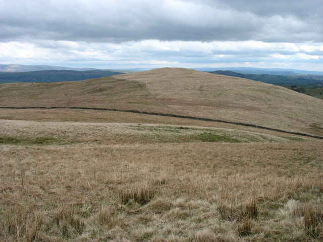
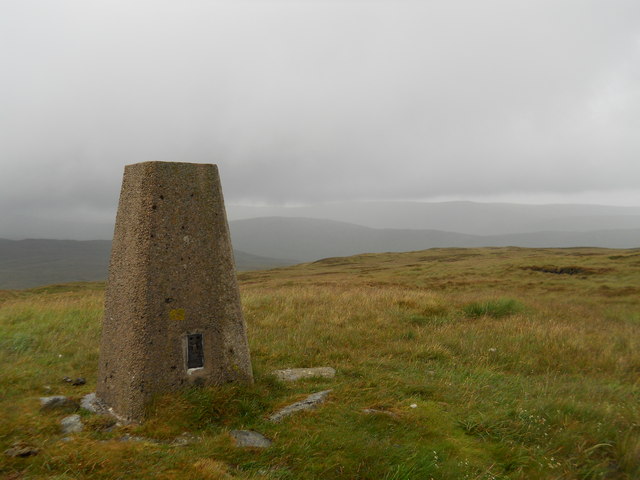
Borrowdale Head is a picturesque hill located in the region of Westmorland, in the northern part of England. It is part of the stunning Lake District National Park and is situated at the head of the Borrowdale Valley, surrounded by breathtaking natural beauty. The hill stands at an elevation of approximately 581 meters (1,906 feet), making it a popular destination for hikers and outdoor enthusiasts.
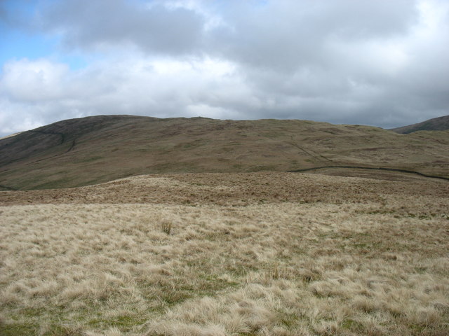
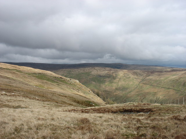
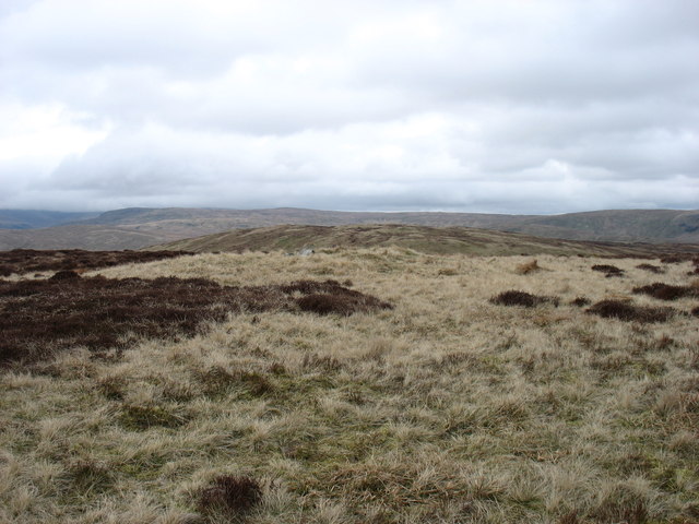
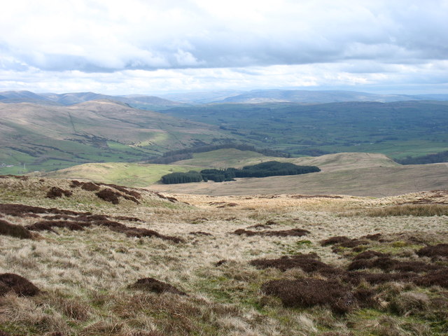
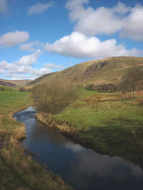
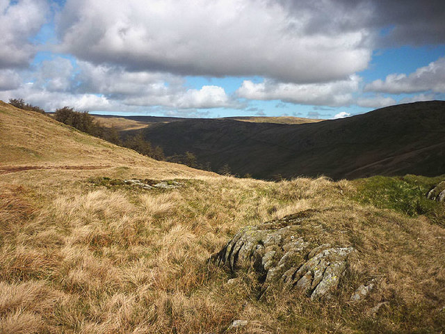
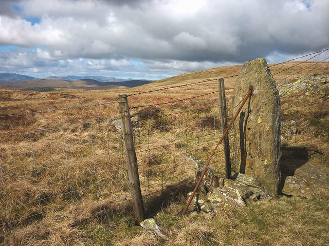
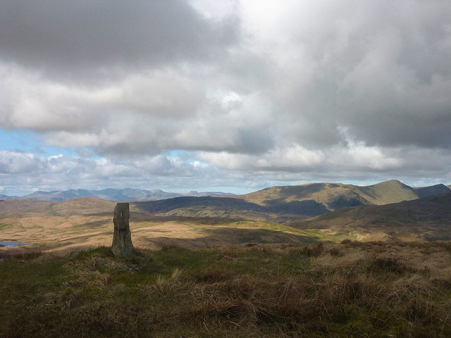
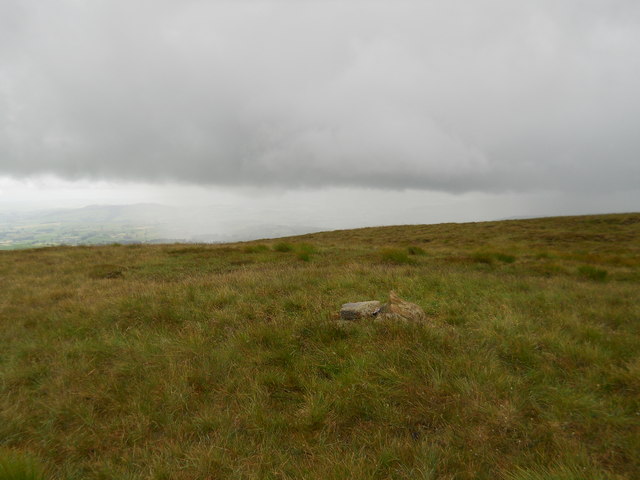
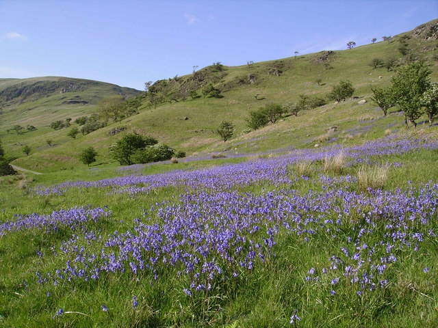
The landscape of Borrowdale Head is characterized by rugged and rocky terrain, with its slopes covered in lush green grasses and scattered with craggy outcrops. The summit offers panoramic views of the surrounding mountains, valleys, and the sparkling Derwentwater, a large lake situated nearby. On a clear day, visitors can even catch a glimpse of the distant peaks of Helvellyn and Skiddaw.
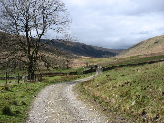
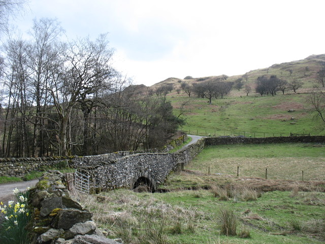
The hill is accessible via various walking routes, with the most common starting point being the village of Rosthwaite. From there, hikers can follow well-marked trails that wind their way through the valley, passing by ancient woodlands, babbling streams, and charming stone-built cottages. As they ascend, the landscape transforms into a wilder and more rugged environment, offering a true sense of remoteness and tranquility.
Borrowdale Head is also home to a diverse range of flora and fauna, with the hillside providing a habitat for numerous bird species, including peregrine falcons and buzzards. In spring and summer, the slopes burst into color as a variety of wildflowers bloom, adding to the area's natural charm.
Overall, Borrowdale Head is a captivating destination for nature lovers and those seeking to immerse themselves in the awe-inspiring beauty of the Lake District.
If you have any feedback on the listing, please let us know in the comments section below.
Borrowdale Head Images
Images are sourced within 2km of 54.425256/-2.729502 or Grid Reference NY5203. Thanks to Geograph Open Source API. All images are credited.


Borrowdale Head is located at Grid Ref: NY5203 (Lat: 54.425256, Lng: -2.729502)
Administrative County: Cumbria
District: South Lakeland
Police Authority: Cumbria
Also known as: The Forest
What 3 Words
///lecturing.finally.domestic. Near Staveley, Cumbria
Nearby Locations
Related Wikis

Bannisdale Horseshoe
The Bannisdale Horseshoe is an upland area in Cumbria, England, near the eastern boundary of the Lake District National Park, surrounding the valley of...

Lowbridge Estate
The Lowbridge Estate is a country estate of approximately 2000 acres in the Lake District region of England that was in the continuous ownership of the...

Crookdale Horseshoe
The Crookdale Horseshoe is a group of hills on the eastern edge of the English Lake District, in Cumbria, west of the A6 road. They are the subject of...
Fawcett Forest
Fawcett Forest is a former civil parish, now in the parish of Selside and Fawcett Forest, in the South Lakeland district of the English county of Cumbria...

Longsleddale
Longsleddale () is a valley and civil parish in the South Lakeland district of Cumbria, England. It includes the hamlet of Sadgill. The parish has a population...

River Sprint
The River Sprint is a river in Cumbria, England with its source high up on the south-facing side of Harter Fell. It flows into the River Kent just to...

Borrowdale, Westmorland
Borrowdale is a valley in the English Lake District. It is located in the county of Westmorland, and is sometimes referred to as Westmorland Borrowdale...

Garnett Bridge
Garnett Bridge is a hamlet in Cumbria, England, on the River Sprint. It is located three miles by foot southeast of Long Sleddale. It consists mainly of...
Nearby Amenities
Located within 500m of 54.425256,-2.729502Have you been to Borrowdale Head?
Leave your review of Borrowdale Head below (or comments, questions and feedback).