The Eyes

Hill, Mountain in Wigtownshire

Scotland

The Eyes

Old milestone This milestone is on the UC road from New Luce to the A75 at Castle Kennedy then it's westwards to Stranraer.   The rhs has S/5.   It has been painted by a Milestone Society member.
Old milestone Credit: Karl Logan

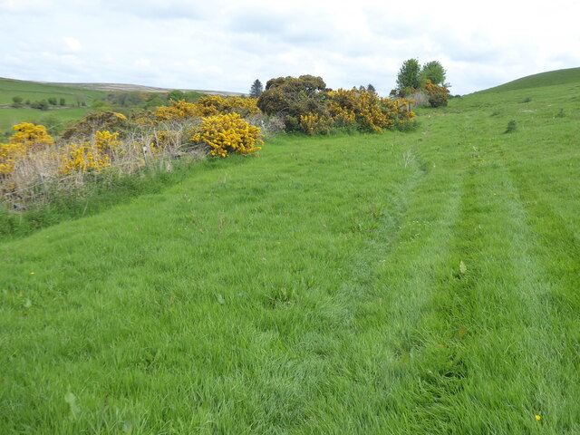
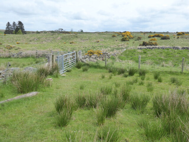
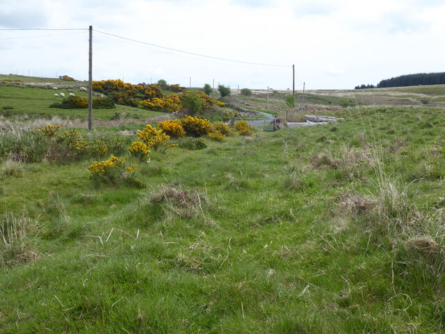
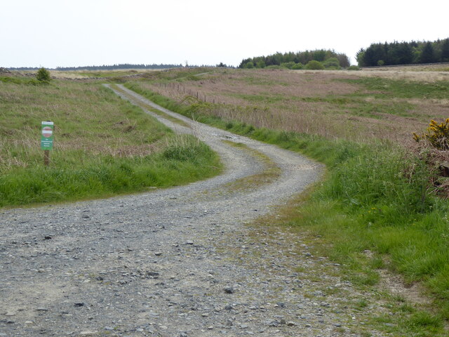
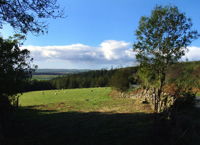
The Eyes is a prominent hill located in Wigtownshire, Scotland. It is known for its distinctive twin peaks that resemble a pair of eyes, hence the name. The hill rises to an elevation of approximately 1,400 feet (427 meters) above sea level, making it a popular destination for hikers and outdoor enthusiasts.

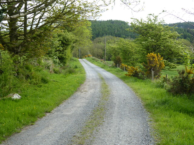
The Eyes offers stunning panoramic views of the surrounding countryside, including the rolling hills of Wigtownshire and the nearby coastline. On a clear day, visitors can see all the way to the Isle of Man and even Northern Ireland.

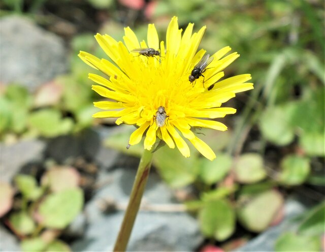
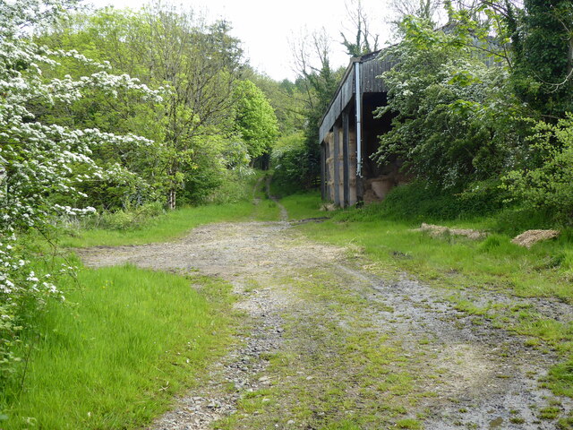
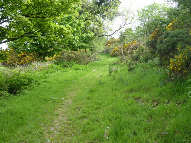
The hill is home to a variety of wildlife, including red deer, birds of prey, and wildflowers that bloom in the spring and summer months. The rugged terrain and challenging hiking trails make The Eyes a favorite spot for adventurous hikers looking to explore the natural beauty of the Scottish countryside.

Overall, The Eyes is a must-visit destination for nature lovers and outdoor enthusiasts seeking a memorable hiking experience in the picturesque region of Wigtownshire.

If you have any feedback on the listing, please let us know in the comments section below.
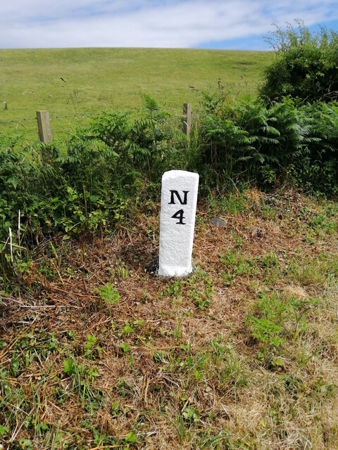
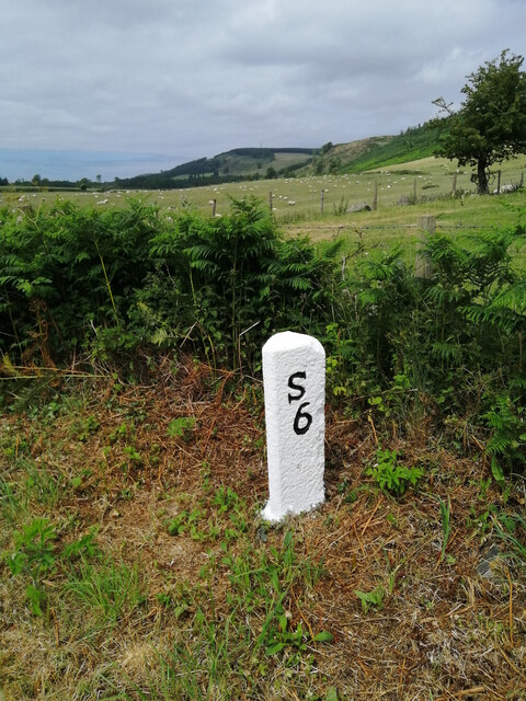
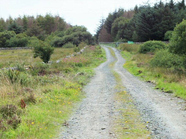
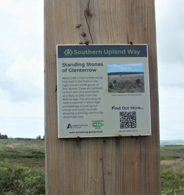
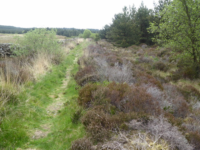
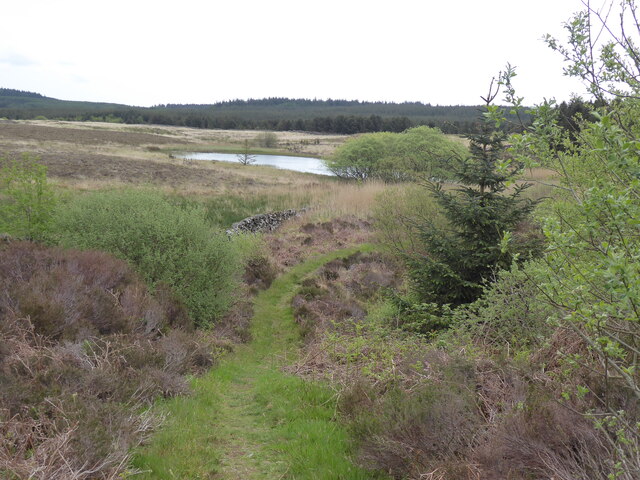
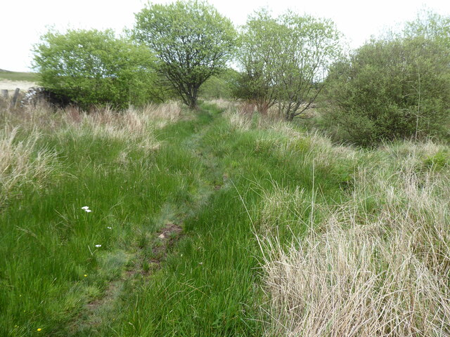
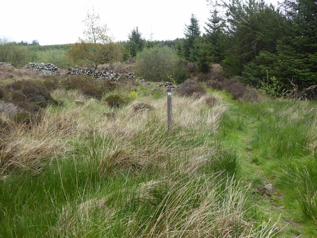
The Eyes Images

Images are sourced within 2km of 54.911674/-4.8976963 or Grid Reference NX1461. Thanks to Geograph Open Source API. All images are credited.

Old milestone This milestone is on the UC road from New Luce to the A75 at Castle Kennedy then it's westwards to Stranraer.   The rhs has S/5.   It has been painted by a Milestone Society member.
Old milestone
This milestone is on the UC road from New Luce to the A75 at Castle Kennedy then it's westwards to Stranraer. The rhs has S/5. It has been painted by a Milestone Society member.
Old milestone The Stranraer face of the milestone on the verge of the  UC road from New Luce to the A75 at Castle Kennedy.  This face is S/5, lhs N/4.   Other milestones show 9 miles from New Luce to Stranraer.
Old milestone
The Stranraer face of the milestone on the verge of the UC road from New Luce to the A75 at Castle Kennedy. This face is S/5, lhs N/4. Other milestones show 9 miles from New Luce to Stranraer.
Heading towards Glenwhan Forest Walking along the Southern Upland Way as it approaches the entrance to Glenwhan Forest.
Heading towards Glenwhan Forest
Walking along the Southern Upland Way as it approaches the entrance to Glenwhan Forest.
You Can't Believe Everything You Read This information plaque on the Southern Upland Way informs us that the Standing Stones of Glenterrow are half a mile further up the road and in a field on the right, but actually, they are in a field on the left!
You Can't Believe Everything You Read
This information plaque on the Southern Upland Way informs us that the Standing Stones of Glenterrow are half a mile further up the road and in a field on the right, but actually, they are in a field on the left!
Flies on Hawkweed (Hieracium sp.) Three flies are having a snack on a Hawkweed flower. Hawkweed and Hawksbeard (Crepis sp.) are notoriously difficult and are given the delightful name of the "Hawkish Complex" by many eminent botanists.
Flies on Hawkweed (Hieracium sp.)
Three flies are having a snack on a Hawkweed flower. Hawkweed and Hawksbeard (Crepis sp.) are notoriously difficult and are given the delightful name of the "Hawkish Complex" by many eminent botanists.
The Southern Upland Way near Chlenry Cottages
The Southern Upland Way near Chlenry
The Southern Upland Way near Dam Wood
The Southern Upland Way near Coburn Bridge
The Southern Upland Way near Pinwherrie Farm
The Southern Upland Way near Glenwhan Hill
The Southern Upland Way near Glenwhan Lochs
The Southern Upland Way near Glenwhan Moor
The Southern Upland Way near Craig Burn
Sheuchan Hill Taken from near Chlenry. Sheuchan is from the gaelic 'suidheachan', meaning a seat, and Chlenry is from 'claenrach' - sloping land.
Sheuchan Hill
Taken from near Chlenry. Sheuchan is from the gaelic 'suidheachan', meaning a seat, and Chlenry is from 'claenrach' - sloping land.
View from near Chlenry bridge The wood is called Dam Wood. Cults Loch can just be seen above the trees.
View from near Chlenry bridge
The wood is called Dam Wood. Cults Loch can just be seen above the trees.
Show me another place!

The Eyes is located at Grid Ref: NX1461 (Lat: 54.911674, Lng: -4.8976963)

Unitary Authority: Dumfries and Galloway

Police Authority: Dumfries and Galloway

Also known as: Glenwhan Hill

What 3 Words

///cobras.adopters.ponies. Near Stranraer, Dumfries & Galloway

Related Wikis

RAF Castle Kennedy

Royal Air Force Castle Kennedy, or more simply RAF Castle Kennedy, is a former Royal Air Force satellite station located in Castle Kennedy, Dumfries and...

Castle Kennedy (castle)

Castle Kennedy is a ruined 17th-century tower house, about 3 miles (4.8 km) east of Stranraer, Dumfries and Galloway, Scotland, around 0.5 miles (0.80...

Dunragit

Dunragit (Scottish Gaelic: Dùn Reicheit) is a village on the A75, between Stranraer and Glenluce in Dumfries and Galloway, south-west Scotland. Dunragit...

Dunragit railway station

Dunragit railway station served the village of Dunragit, Dumfries and Galloway, Scotland from 1861 to 1965 on the Portpatrick and Wigtownshire Joint Railway...

Have you been to The Eyes?

Leave your review of The Eyes below (or comments, questions and feedback).