Airyolland Moss

Downs, Moorland in Wigtownshire

Scotland

Airyolland Moss

Old milestone This milestone is on the UC road from New Luce to the A75 at Castle Kennedy then it's westwards to Stranraer.   The rhs has S/5.   It has been painted by a Milestone Society member.
Old milestone Credit: Karl Logan

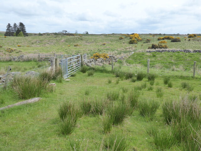
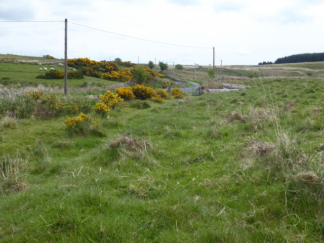
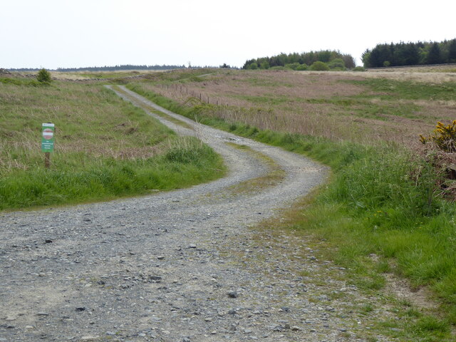
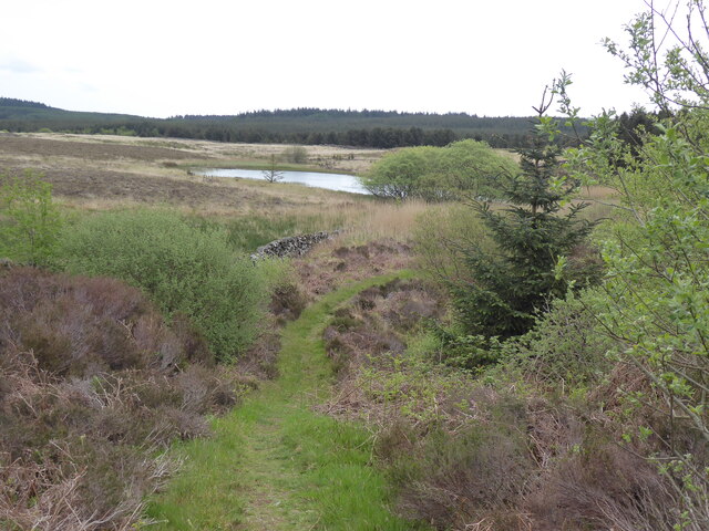
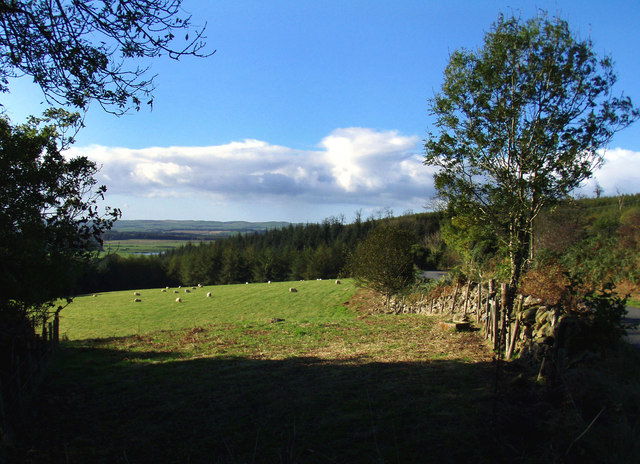
Airyolland Moss is a picturesque area located in Wigtownshire, Scotland. Situated on the southernmost part of the country, it is known for its stunning downs and moorland landscapes. The name Airyolland Moss is derived from the Gaelic words "airigh" and "allt", meaning "shieling" and "stream" respectively, which aptly describe the geographical features of the region.

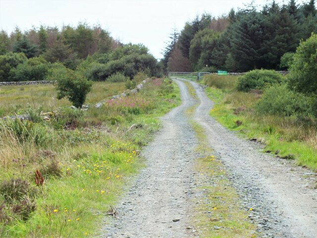
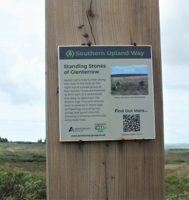
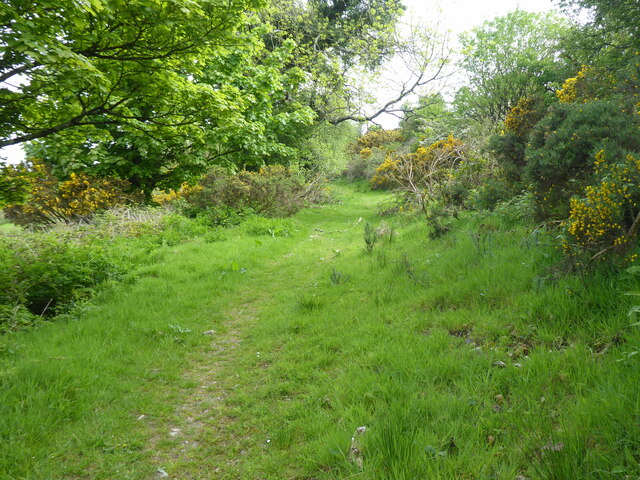
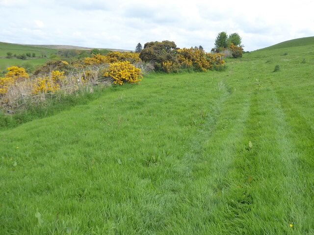
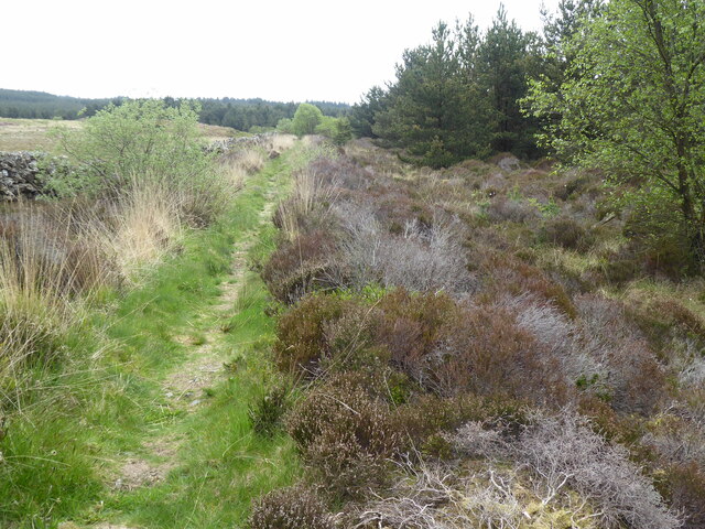
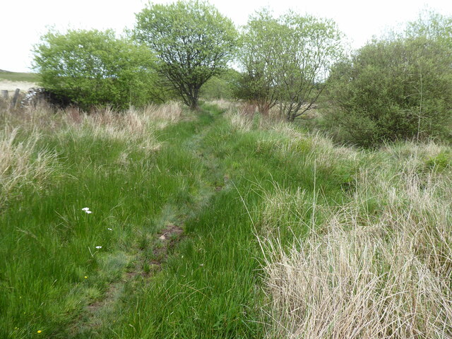
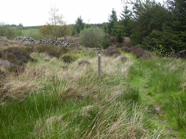
Covering an expansive area, Airyolland Moss is characterized by its undulating downs that provide breathtaking views of the surrounding countryside. The downs are covered in lush green grass, creating a serene and tranquil atmosphere. The moorlands are dotted with heather and other wildflowers, adding vibrant colors to the landscape.

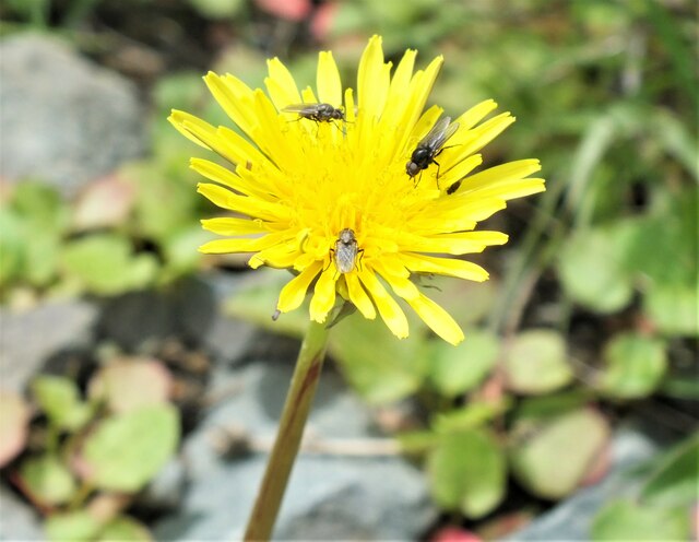
The region is a haven for nature enthusiasts and wildlife lovers. It is home to a variety of bird species, including curlews, lapwings, and skylarks, making it a popular destination for birdwatchers. The moorlands also provide habitat for small mammals like hares and foxes. The area is carefully managed to preserve its unique ecosystem and protect the wildlife that thrives within it.

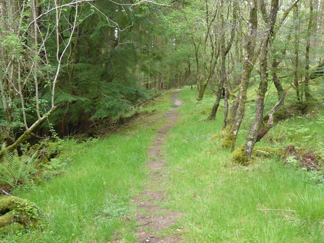
Visitors to Airyolland Moss can enjoy long walks and hikes along the downs and moorlands, taking in the breathtaking scenery and immersing themselves in the tranquility of nature. The area also offers opportunities for photography, with its stunning vistas and diverse wildlife.

Overall, Airyolland Moss in Wigtownshire is a must-visit destination for nature lovers, offering a unique combination of downs and moorlands that showcase the beauty of the Scottish countryside.

If you have any feedback on the listing, please let us know in the comments section below.

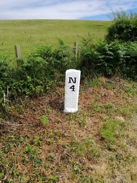
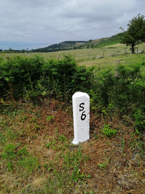
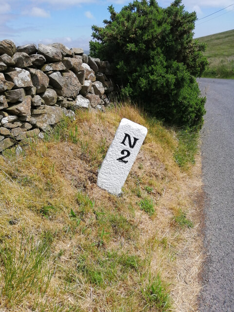
Airyolland Moss Images

Images are sourced within 2km of 54.914891/-4.8883299 or Grid Reference NX1461. Thanks to Geograph Open Source API. All images are credited.

Old milestone This milestone is on the UC road from New Luce to the A75 at Castle Kennedy then it's westwards to Stranraer.   The rhs has S/5.   It has been painted by a Milestone Society member.
Old milestone
This milestone is on the UC road from New Luce to the A75 at Castle Kennedy then it's westwards to Stranraer. The rhs has S/5. It has been painted by a Milestone Society member.
Old milestone The Stranraer face of the milestone on the verge of the  UC road from New Luce to the A75 at Castle Kennedy.  This face is S/5, lhs N/4.   Other milestones show 9 miles from New Luce to Stranraer.
Old milestone
The Stranraer face of the milestone on the verge of the UC road from New Luce to the A75 at Castle Kennedy. This face is S/5, lhs N/4. Other milestones show 9 miles from New Luce to Stranraer.
Old milestone On the UC road from New Luce to the A75 at Castle Kennedy.   It is a typical stone for this part of Wigtownshire, triangular with a narrow, flat front edge.   The other face is S/7.   It has been painted by a Milestone Society member.
Old milestone
On the UC road from New Luce to the A75 at Castle Kennedy. It is a typical stone for this part of Wigtownshire, triangular with a narrow, flat front edge. The other face is S/7. It has been painted by a Milestone Society member.
Old milestone The Stranraer face of the milestone on the UC road southwest of New Luce.   Although leaning and on a steep verge there will be enough stone under soil level to keep it safe.   Dating from the end of the 19C or beginning of the 20C these Wigtownshire milestones can have broken off corners or uneven edges.
Old milestone
The Stranraer face of the milestone on the UC road southwest of New Luce. Although leaning and on a steep verge there will be enough stone under soil level to keep it safe. Dating from the end of the 19C or beginning of the 20C these Wigtownshire milestones can have broken off corners or uneven edges.
Heading towards Glenwhan Forest Walking along the Southern Upland Way as it approaches the entrance to Glenwhan Forest.
Heading towards Glenwhan Forest
Walking along the Southern Upland Way as it approaches the entrance to Glenwhan Forest.
You Can't Believe Everything You Read This information plaque on the Southern Upland Way informs us that the Standing Stones of Glenterrow are half a mile further up the road and in a field on the right, but actually, they are in a field on the left!
You Can't Believe Everything You Read
This information plaque on the Southern Upland Way informs us that the Standing Stones of Glenterrow are half a mile further up the road and in a field on the right, but actually, they are in a field on the left!
Flies on Hawkweed (Hieracium sp.) Three flies are having a snack on a Hawkweed flower. Hawkweed and Hawksbeard (Crepis sp.) are notoriously difficult and are given the delightful name of the "Hawkish Complex" by many eminent botanists.
Flies on Hawkweed (Hieracium sp.)
Three flies are having a snack on a Hawkweed flower. Hawkweed and Hawksbeard (Crepis sp.) are notoriously difficult and are given the delightful name of the "Hawkish Complex" by many eminent botanists.
The Southern Upland Way near Chlenry
The Southern Upland Way near Dam Wood
The Southern Upland Way near Coburn Bridge
The Southern Upland Way near Pinwherrie Farm
The Southern Upland Way near Glenwhan Hill
The Southern Upland Way near Glenwhan Lochs
The Southern Upland Way near Glenwhan Moor
The Southern Upland Way near Craig Burn
The Southern Upland Way near Drumfleugh
View from near Chlenry bridge The wood is called Dam Wood. Cults Loch can just be seen above the trees.
View from near Chlenry bridge
The wood is called Dam Wood. Cults Loch can just be seen above the trees.
Show me another place!

Airyolland Moss is located at Grid Ref: NX1461 (Lat: 54.914891, Lng: -4.8883299)

Unitary Authority: Dumfries and Galloway

Police Authority: Dumfries and Galloway

What 3 Words

///deprive.prowl.outer. Near Stranraer, Dumfries & Galloway

Related Wikis

New Luce railway station

New Luce railway station served the village of New Luce, Dumfries and Galloway, Scotland from 1887 to 1965 on the Girvan and Portpatrick Junction Railway...

RAF Castle Kennedy

Royal Air Force Castle Kennedy, or more simply RAF Castle Kennedy, is a former Royal Air Force satellite station located in Castle Kennedy, Dumfries and...

Mid Gleniron

Mid Gleniron is a prehistoric site in Dumfries and Galloway used in the Neolithic and Bronze Age. The site is a scheduled ancient monument that comprises...

Castle Kennedy (castle)

Castle Kennedy is a ruined 17th-century tower house, about 3 miles (4.8 km) east of Stranraer, Dumfries and Galloway, Scotland, around 0.5 miles (0.80...

New Luce

New Luce (Scottish Gaelic: Baile Ùr Ghlinn Lus) is a civil parish in Dumfries and Galloway, south-west Scotland. It lies in the traditional county of Wigtownshire...

Dunragit

Dunragit (Scottish Gaelic: Dùn Reicheit) is a village on the A75, between Stranraer and Glenluce in Dumfries and Galloway, south-west Scotland. Dunragit...

Dunragit railway station

Dunragit railway station served the village of Dunragit, Dumfries and Galloway, Scotland from 1861 to 1965 on the Portpatrick and Wigtownshire Joint Railway...

Castle Kennedy

Castle Kennedy is a small village 3 miles (4.8 km) east of Stranraer in Dumfries and Galloway, south-west Scotland. It is on the A75 road, and is within...

Have you been to Airyolland Moss?

Leave your review of Airyolland Moss below (or comments, questions and feedback).