Bannisdale
Valley in Westmorland South Lakeland
England
Bannisdale
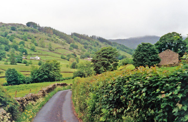
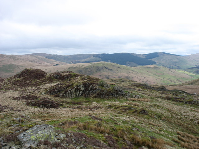
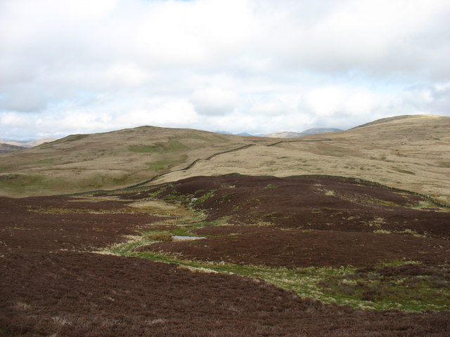
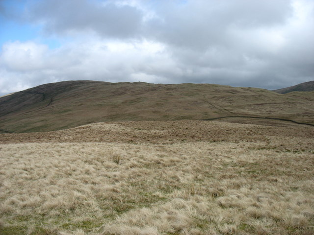
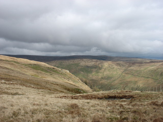
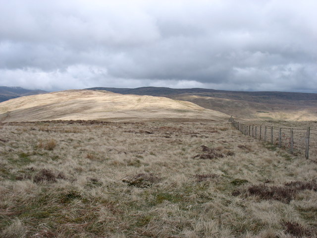
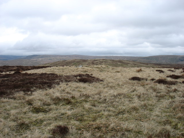
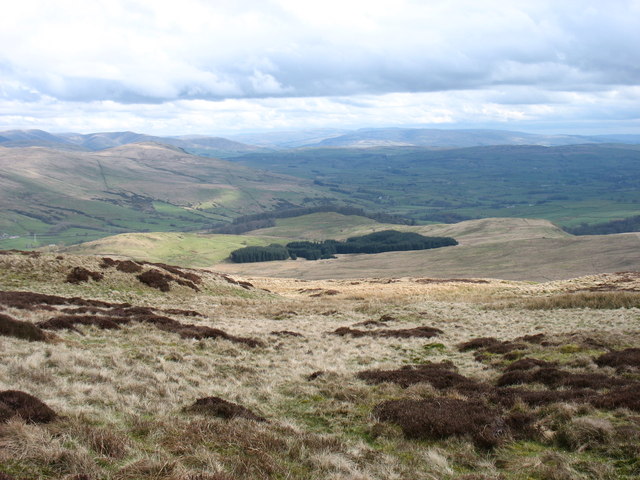
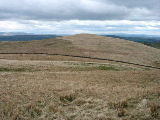
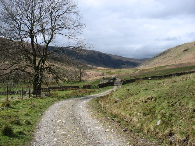
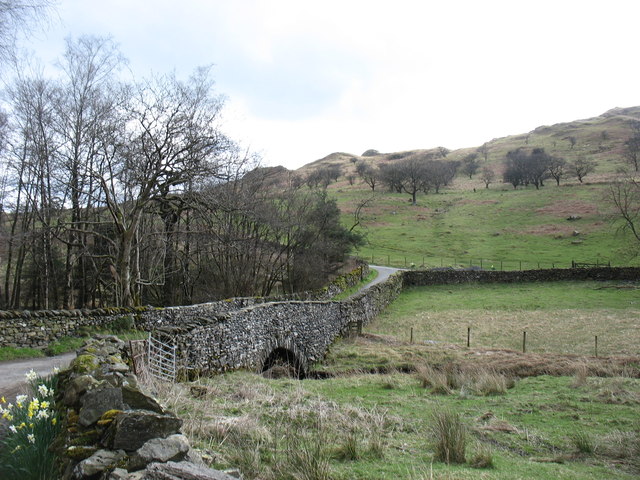
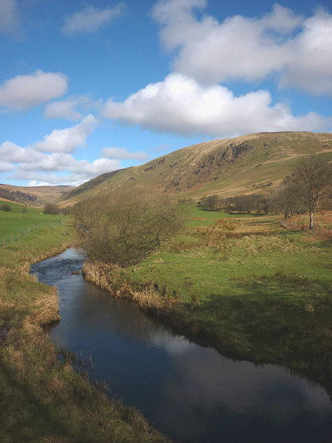
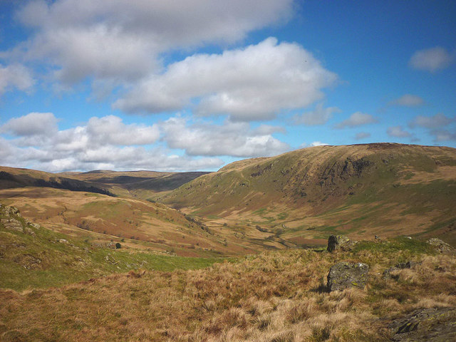
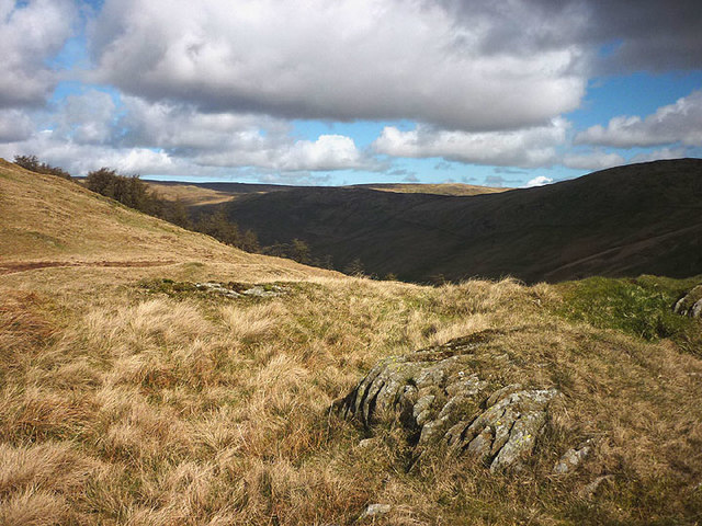
Bannisdale is a picturesque valley located in the Westmorland district of Cumbria, England. Situated in the northern part of the Lake District National Park, this hidden gem encompasses approximately 15 square miles of stunning natural beauty. The valley is surrounded by rolling hills and breathtaking panoramic views, making it a popular destination for outdoor enthusiasts and nature lovers.
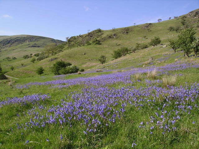
Known for its tranquil atmosphere and untouched landscapes, Bannisdale offers a serene escape from the hustle and bustle of city life. The area is characterized by its lush green meadows, dense woodlands, and babbling streams that meander through the valley. The wildlife here is abundant, with various species of birds, mammals, and plants calling this place their home.
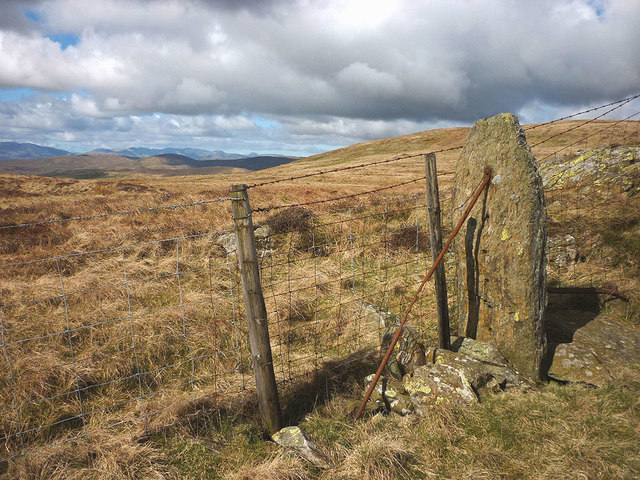
One of the standout features of Bannisdale is its extensive network of footpaths and hiking trails, making it an ideal destination for walkers and ramblers. These routes allow visitors to explore the valley's diverse terrain and discover hidden gems along the way, such as ancient stone circles and historic ruins. The popular Bannisdale Horseshoe is a challenging circular walk that takes in the valley's highest peaks, providing breathtaking views of the surrounding fells.
Although Bannisdale is a predominantly rural area, there are a few scattered farmhouses and cottages that add to its charm. The valley remains relatively untouched by modern development, preserving its natural beauty and traditional character. A visit to Bannisdale offers a unique opportunity to immerse oneself in the tranquility of nature and experience the true essence of the Lake District.
If you have any feedback on the listing, please let us know in the comments section below.
Bannisdale Images
Images are sourced within 2km of 54.423011/-2.7394801 or Grid Reference NY5203. Thanks to Geograph Open Source API. All images are credited.


Bannisdale is located at Grid Ref: NY5203 (Lat: 54.423011, Lng: -2.7394801)
Administrative County: Cumbria
District: South Lakeland
Police Authority: Cumbria
What 3 Words
///dries.grief.blissful. Near Staveley, Cumbria
Nearby Locations
Related Wikis

Bannisdale Horseshoe
The Bannisdale Horseshoe is an upland area in Cumbria, England, near the eastern boundary of the Lake District National Park, surrounding the valley of...

Lowbridge Estate
The Lowbridge Estate is a country estate of approximately 2000 acres in the Lake District region of England that was in the continuous ownership of the...

Longsleddale
Longsleddale () is a valley and civil parish in the South Lakeland district of Cumbria, England. It includes the hamlet of Sadgill. The parish has a population...

River Sprint
The River Sprint is a river in Cumbria, England with its source high up on the south-facing side of Harter Fell. It flows into the River Kent just to...

Crookdale Horseshoe
The Crookdale Horseshoe is a group of hills on the eastern edge of the English Lake District, in Cumbria, west of the A6 road. They are the subject of...
Fawcett Forest
Fawcett Forest is a former civil parish, now in the parish of Selside and Fawcett Forest, in the South Lakeland district of the English county of Cumbria...

Garnett Bridge
Garnett Bridge is a hamlet in Cumbria, England, on the River Sprint. It is located three miles by foot southeast of Long Sleddale. It consists mainly of...

Sadgill
Sadgill is a hamlet in Longsleddale, Cumbria, England. It is a divided settlement, also containing Low Sadgill. == References ==
Nearby Amenities
Located within 500m of 54.423011,-2.7394801Have you been to Bannisdale?
Leave your review of Bannisdale below (or comments, questions and feedback).