Coran of Portmark
Hill, Mountain in Kirkcudbrightshire
Scotland
Coran of Portmark
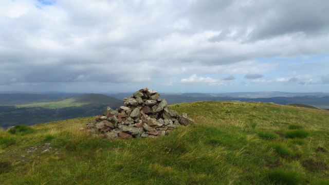
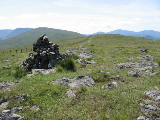
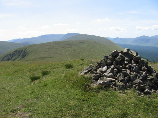
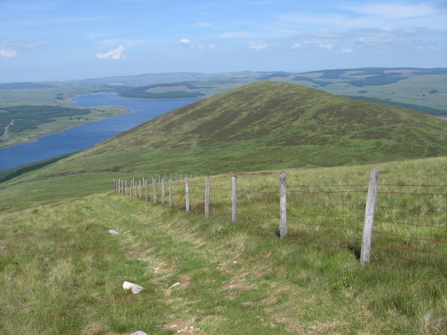
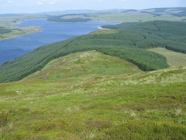
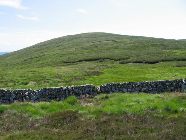
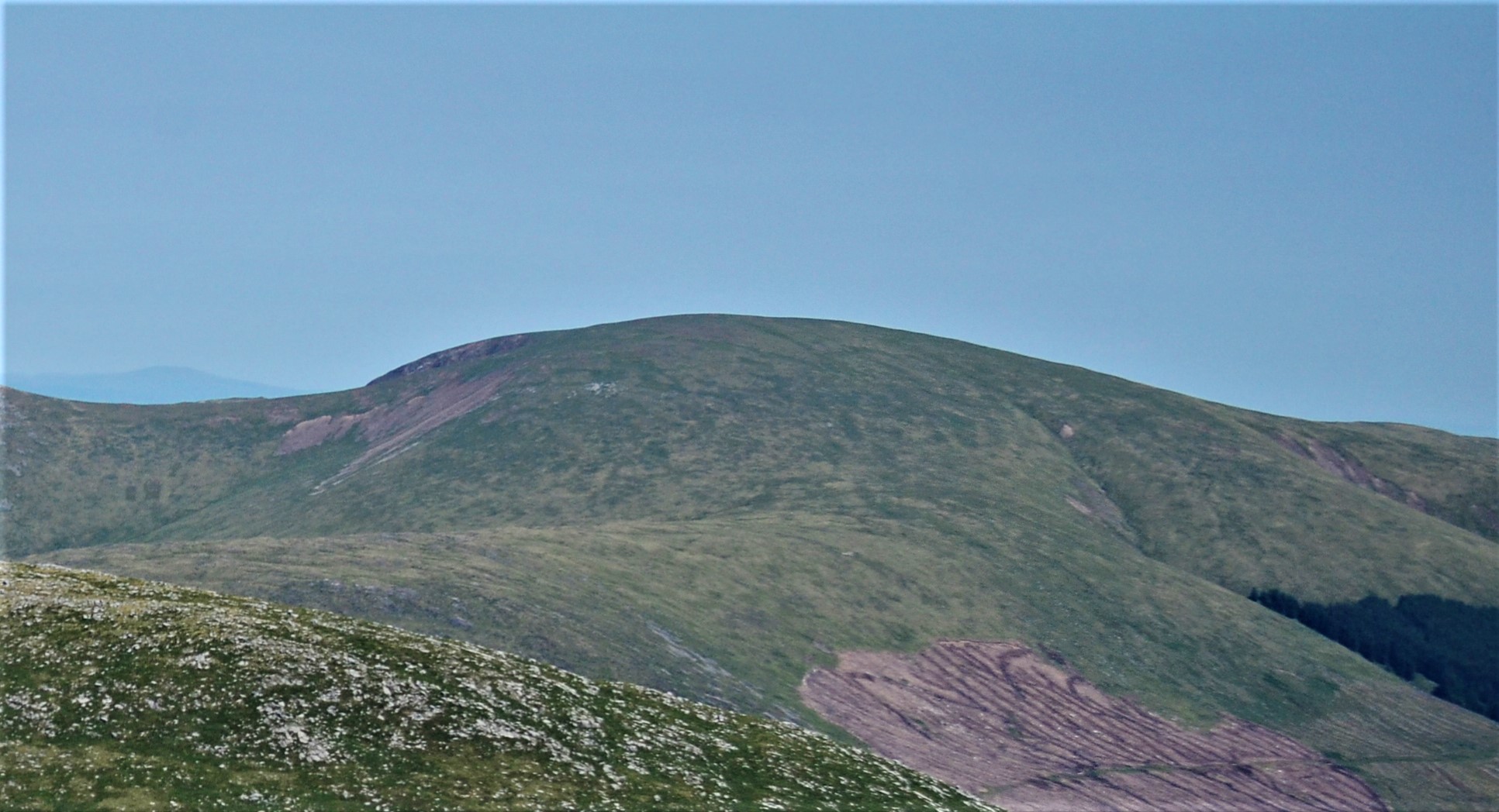
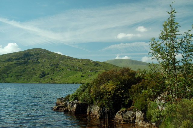
Coran of Portmark is a prominent hill located in the region of Kirkcudbrightshire, Scotland. Situated near the village of Corsock, this hill stands at an elevation of approximately 300 meters (984 feet) above sea level. It is a notable landmark in the area, offering breathtaking views of the surrounding countryside.
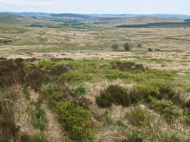
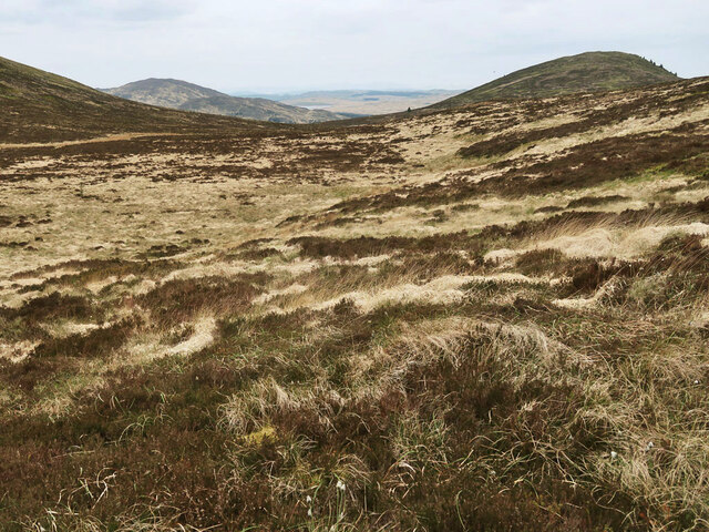
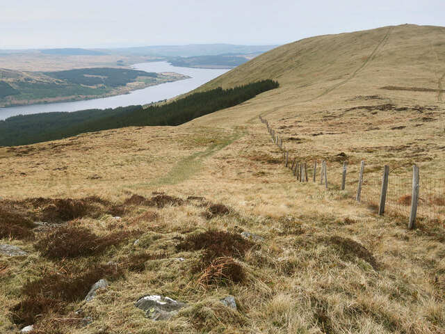
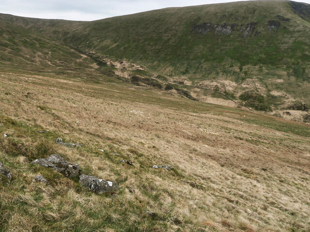
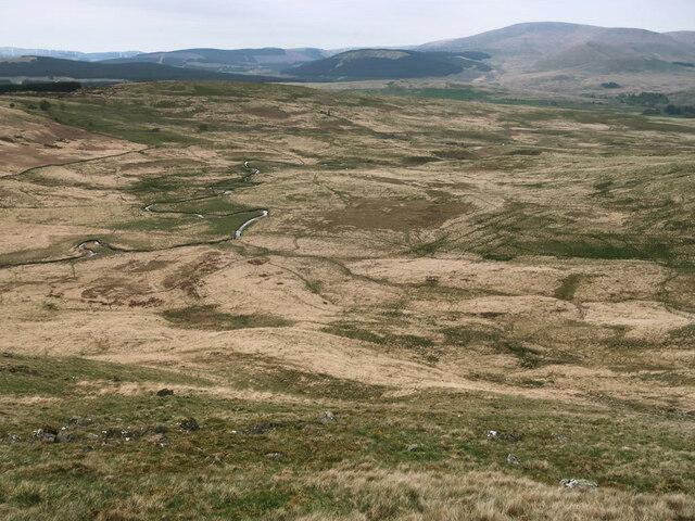
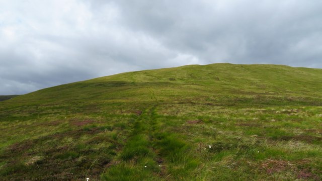
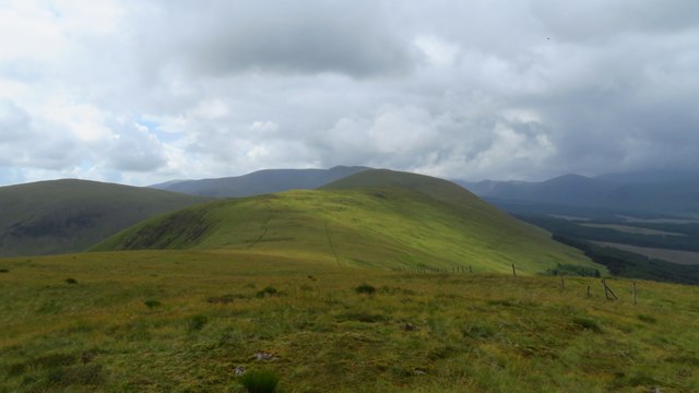
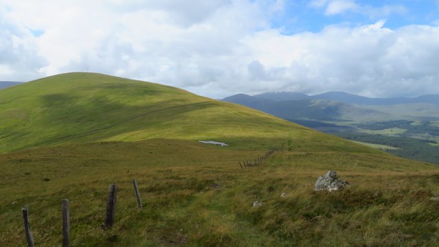
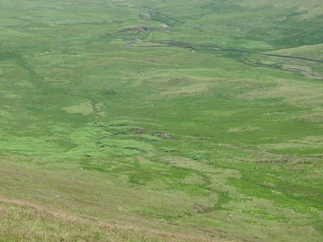
The hill is characterized by its gentle slopes and verdant landscape, covered in lush greenery and dotted with small trees and shrubs. Its distinctive shape and height make it easily identifiable from a distance. The summit of Coran of Portmark provides a vantage point for panoramic vistas, allowing visitors to take in the picturesque rolling hills, dense woodlands, and nearby bodies of water.
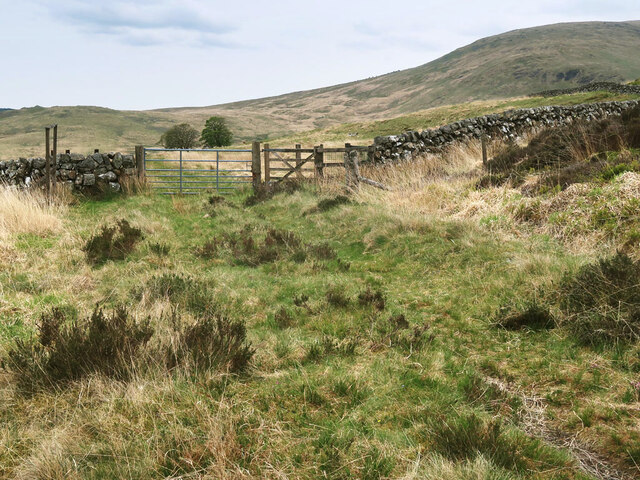
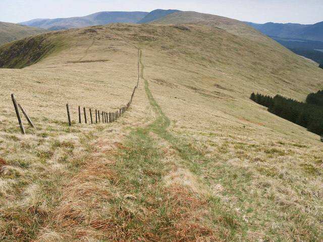
The hill is a popular destination for hikers and nature enthusiasts, offering a range of walking trails that cater to various fitness levels. These trails wind through the hill's terrain, providing an opportunity to explore its diverse flora and fauna. Visitors can spot a variety of bird species, such as red kites and buzzards, as well as small mammals like rabbits and hares.
Coran of Portmark is also steeped in local folklore and history. It is said to have been a site of ancient rituals and gatherings, and remnants of old settlements can still be found in the vicinity. The hill's rich cultural heritage adds to its appeal as a destination for those seeking a blend of natural beauty and historical intrigue.
Overall, Coran of Portmark is a captivating hill in Kirkcudbrightshire, renowned for its scenic vistas, diverse wildlife, and cultural significance. Whether one seeks a challenging hike or a peaceful retreat, this hill offers something for everyone.
If you have any feedback on the listing, please let us know in the comments section below.
Coran of Portmark Images
Images are sourced within 2km of 55.214662/-4.3446534 or Grid Reference NX5093. Thanks to Geograph Open Source API. All images are credited.

Coran of Portmark is located at Grid Ref: NX5093 (Lat: 55.214662, Lng: -4.3446534)
Unitary Authority: Dumfries and Galloway
Police Authority: Dumfries and Galloway
Also known as: Corran of Portmark
What 3 Words
///impaired.ruling.orange. Near Bellsbank, East Ayrshire
Nearby Locations
Related Wikis

Loch Doon Castle
Loch Doon Castle was a castle that was located on an island within Loch Doon, Scotland. The original site and the relocated remains are designated as scheduled...

Craigmalloch
Craigmalloch is a small settlement in East Ayrshire, Scotland. == External links == Scotland's places Royal Commission on Ancient and Historical Monuments...

Loch Doon
Loch Doon (Scottish Gaelic: Loch Dùin, pronounced [l̪ˠɔxˈt̪uːɲ]) is a freshwater loch in Carrick, Scotland. The River Doon issues from its northern end...

Carsphairn
Carsphairn (Scottish Gaelic: An Còrsa Feàrna) is a village in the historic county of Kirkcudbrightshire in Dumfries and Galloway, Scotland. It is located...

Rhinns of Kells
The Rhinns of Kells are a range of hills in the Galloway Hills range, part of the Southern Uplands of Scotland. The most easterly of three parallel ridges...
Corserine
Corserine is a hill in the Rhinns of Kells, a sub-range of the Galloway Hills range, part of the Southern Uplands of Scotland. The highest point of the...
Loch Macaterick
Loch Macaterick is a loch in East Ayrshire, Scotland within Galloway Forest Park and Merrick Kells SSSI. The loch is situated to the north of Macaterick...
Loch Brecbowie
Loch Brecbowie is a Scottish loch located in the Ayrshire region, near the town of Girvan.The small, freshwater loch contains four small islands. It is...
Nearby Amenities
Located within 500m of 55.214662,-4.3446534Have you been to Coran of Portmark?
Leave your review of Coran of Portmark below (or comments, questions and feedback).