Corran of Portmark
Hill, Mountain in Kirkcudbrightshire
Scotland
Corran of Portmark
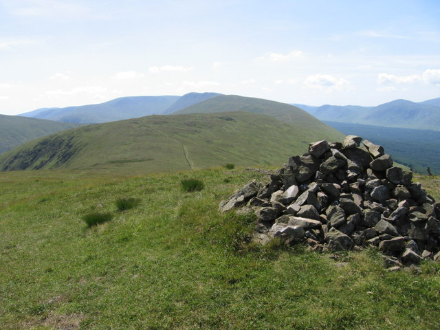
Corran of Portmark is a prominent hill/mountain located in the Kirkcudbrightshire region of Scotland. Rising to an elevation of approximately 516 meters (1,693 feet), it offers breathtaking panoramic views of the surrounding landscape.
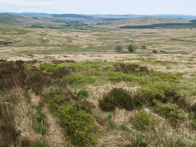
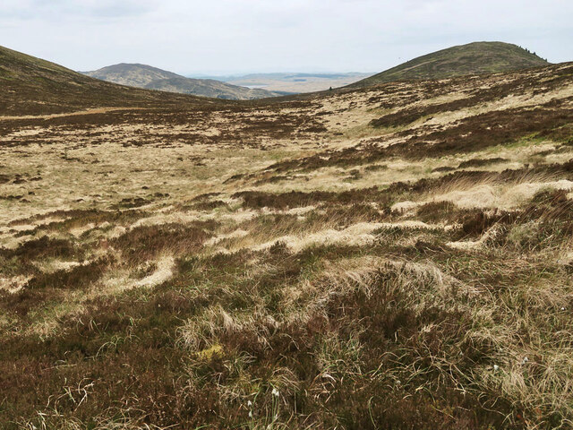
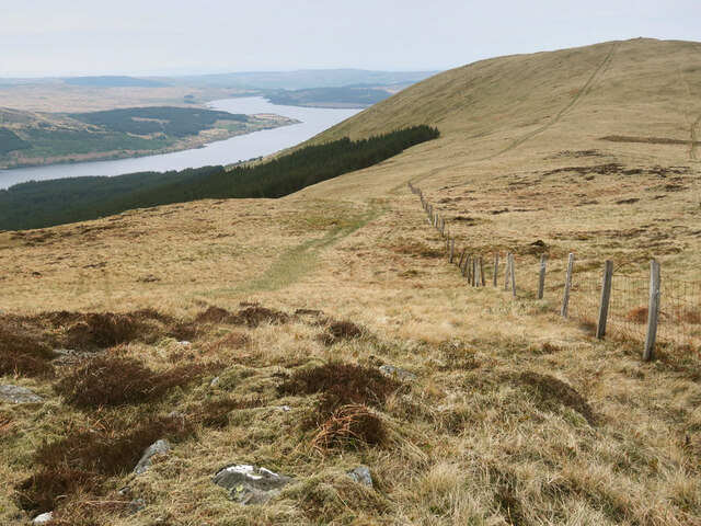
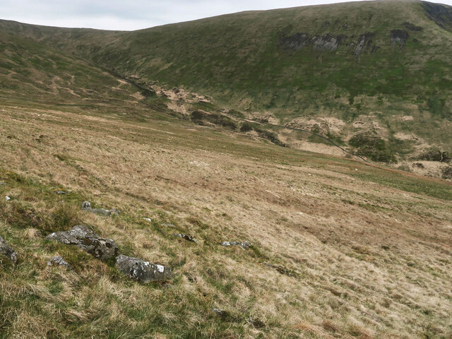
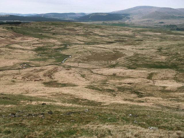
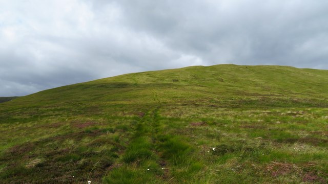
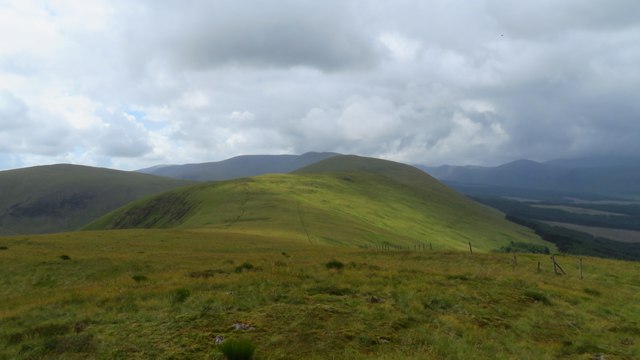
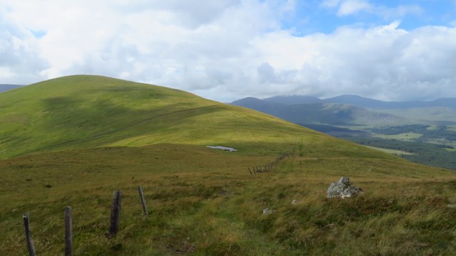
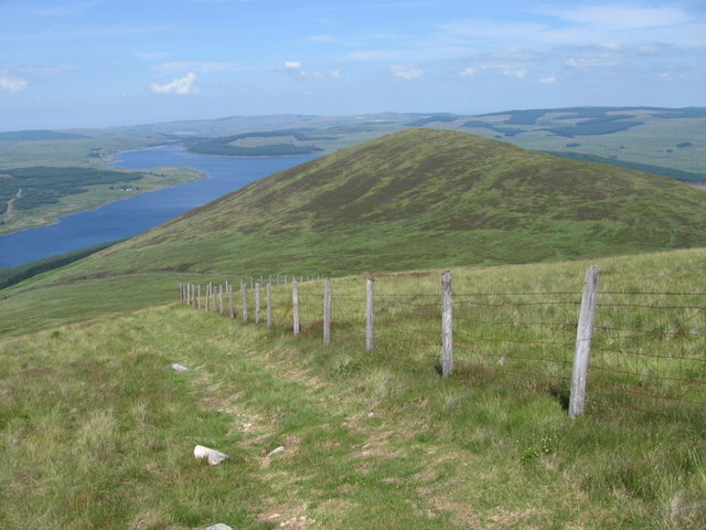
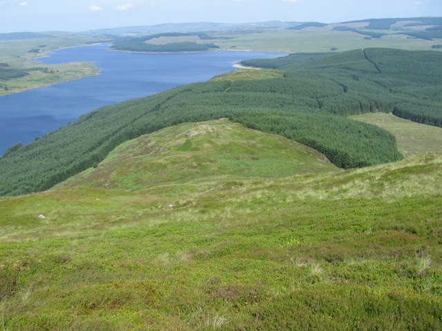
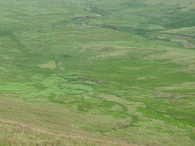
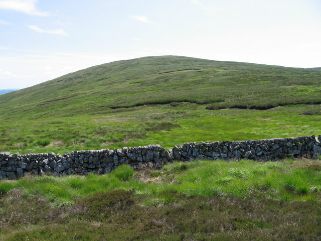
Situated in the heart of Galloway Forest Park, Corran of Portmark is a popular destination for hikers, nature enthusiasts, and outdoor adventurers. The hill/mountain boasts a rugged terrain with rocky outcrops, heather-covered slopes, and a diverse range of flora and fauna.
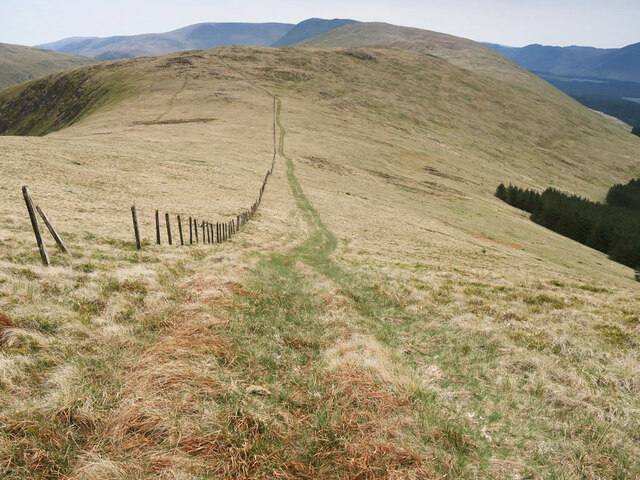
The ascent to Corran of Portmark can be challenging, with steep sections and uneven ground, making it suitable for experienced hikers or those with a good level of fitness. However, the rewarding views from the summit make the effort worthwhile.
At the top of Corran of Portmark, visitors are treated to breathtaking vistas that stretch across the rolling hills, forests, and lochs of Kirkcudbrightshire. On a clear day, it is even possible to catch a glimpse of the Scottish coastline in the distance.
Due to its remote location, Corran of Portmark offers a peaceful and tranquil setting, allowing visitors to immerse themselves in the natural beauty of the Scottish countryside. The hill/mountain is also home to a variety of wildlife, including deer, birds of prey, and smaller mammals.
Overall, Corran of Portmark is a picturesque and challenging hill/mountain that attracts outdoor enthusiasts who seek to explore the raw beauty of the Scottish landscape.
If you have any feedback on the listing, please let us know in the comments section below.
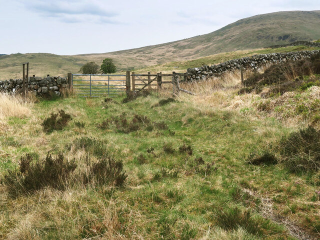
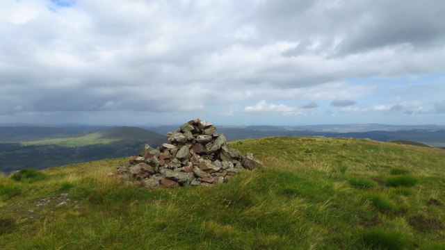
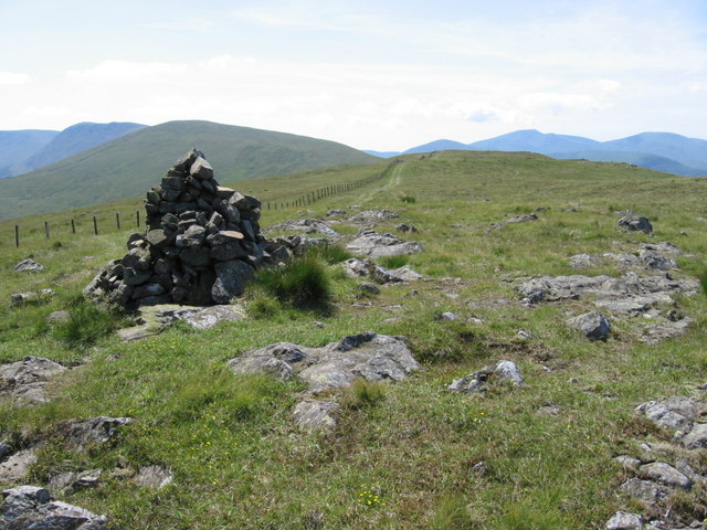
Corran of Portmark Images
Images are sourced within 2km of 55.214662/-4.3446534 or Grid Reference NX5093. Thanks to Geograph Open Source API. All images are credited.

Corran of Portmark is located at Grid Ref: NX5093 (Lat: 55.214662, Lng: -4.3446534)
Unitary Authority: Dumfries and Galloway
Police Authority: Dumfries and Galloway
Also known as: Coran of Portmark
What 3 Words
///impaired.ruling.orange. Near Bellsbank, East Ayrshire
Nearby Locations
Related Wikis

Loch Doon Castle
Loch Doon Castle was a castle that was located on an island within Loch Doon, Scotland. The original site and the relocated remains are designated as scheduled...

Craigmalloch
Craigmalloch is a small settlement in East Ayrshire, Scotland. == External links == Scotland's places Royal Commission on Ancient and Historical Monuments...

Loch Doon
Loch Doon (Scottish Gaelic: Loch Dùin, pronounced [l̪ˠɔxˈt̪uːɲ]) is a freshwater loch in Carrick, Scotland. The River Doon issues from its northern end...

Carsphairn
Carsphairn (Scottish Gaelic: An Còrsa Feàrna) is a village in the historic county of Kirkcudbrightshire in Dumfries and Galloway, Scotland. It is located...
Nearby Amenities
Located within 500m of 55.214662,-4.3446534Have you been to Corran of Portmark?
Leave your review of Corran of Portmark below (or comments, questions and feedback).