Burn Moor Fell

Hill, Mountain in Yorkshire Craven

England

Burn Moor Fell

Lord's Close pasturelands Looking across towards the Croasdale Grains farms. Ingleborough shyly peeps over the dark ridgeline.
Lord's Close pasturelands Credit: Peter Turner

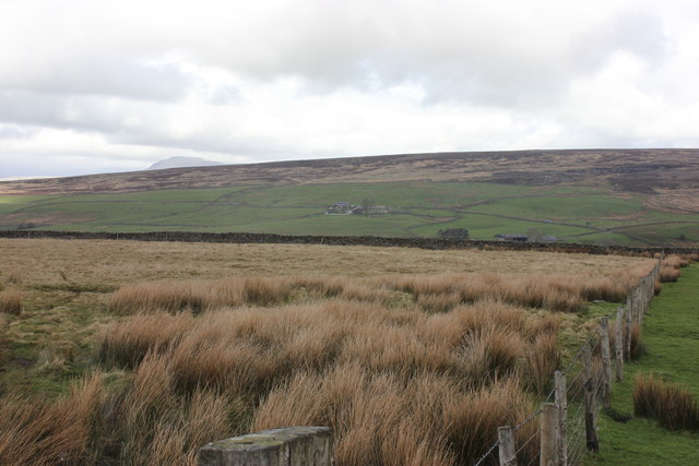
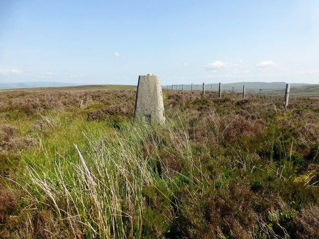
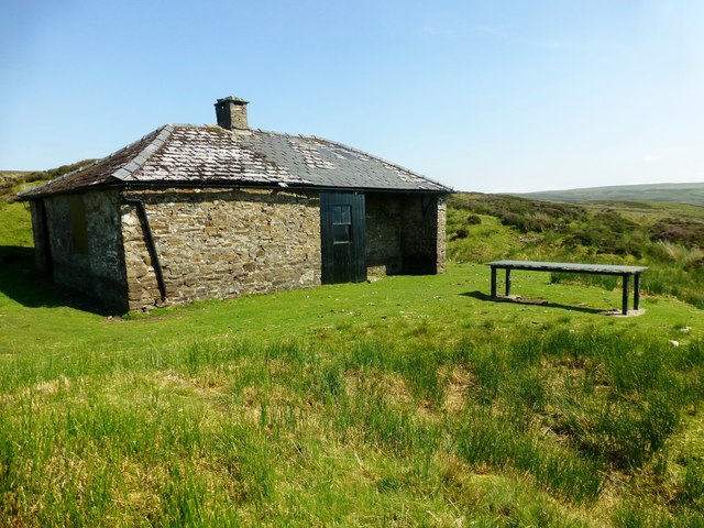
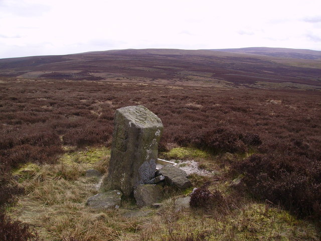
Burn Moor Fell is a hill located in the Yorkshire Dales National Park in North Yorkshire, England. It is situated near the town of Hawes and rises to an elevation of 527 meters (1,729 feet) above sea level. The hill is a popular destination for hikers and outdoor enthusiasts due to its stunning views of the surrounding countryside and its diverse wildlife.

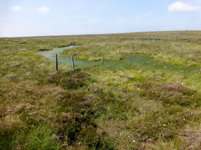
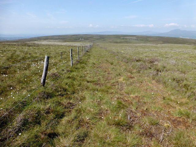
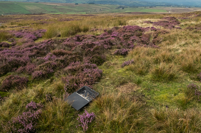
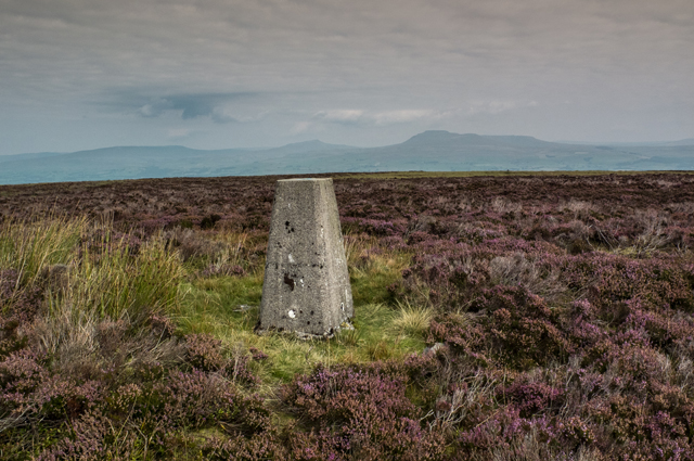
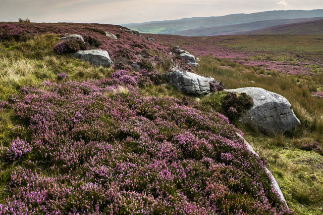
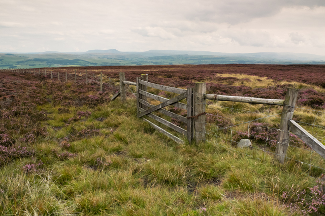
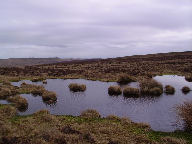
Burn Moor Fell is characterized by its heather-covered slopes and rocky outcrops, which provide a habitat for a variety of plant and animal species. The hill is also home to several species of birds, including grouse and curlew, making it a popular spot for birdwatching.

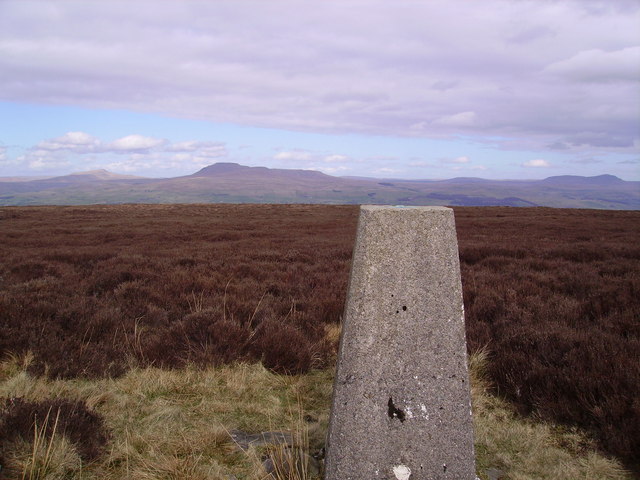
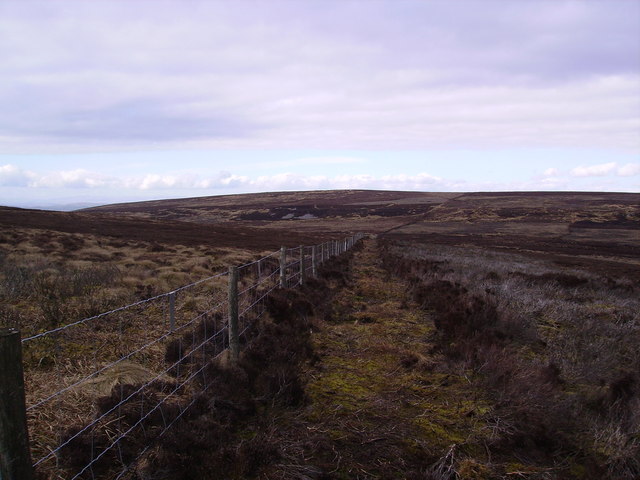
Hikers can access Burn Moor Fell via a network of footpaths that crisscross the surrounding moorland. The hill offers a challenging but rewarding climb, with panoramic views of the Yorkshire Dales and beyond from its summit. On a clear day, visitors can see as far as the Lake District and even the coast of Scotland.

Overall, Burn Moor Fell is a picturesque and tranquil spot in the Yorkshire Dales, perfect for those looking to escape the hustle and bustle of urban life and immerse themselves in nature.

If you have any feedback on the listing, please let us know in the comments section below.

Burn Moor Fell Images

Images are sourced within 2km of 54.076222/-2.4686229 or Grid Reference SD6964. Thanks to Geograph Open Source API. All images are credited.

Lord's Close pasturelands Looking across towards the Croasdale Grains farms. Ingleborough shyly peeps over the dark ridgeline.
Lord's Close pasturelands
Looking across towards the Croasdale Grains farms. Ingleborough shyly peeps over the dark ridgeline.
Burn Moor Fell Trig As described on T:UK or just Burn Moor.
Parked after cattle grid at 427 metres at SD6823860865 then Great Harlow, Hailshowers Fell, Bowlands Knotts, return to Hailshowers Fell, Great Harlow, Thistle Hill, Burn Moor and then to road below Moor Cock Farm and then up road back to my car.
Name: Burn Moor
Hill number: 108581
Height: 402m / 1319ft
Area: 36: Lancashire, Cheshire & the Southern Pennines
Class: 4
Grid ref: SD695645 (est)
Drop: 34m
Col: 368m
Burn Moor Fell Trig
As described on T:UK or just Burn Moor. Parked after cattle grid at 427 metres at SD6823860865 then Great Harlow, Hailshowers Fell, Bowlands Knotts, return to Hailshowers Fell, Great Harlow, Thistle Hill, Burn Moor and then to road below Moor Cock Farm and then up road back to my car. Name: Burn Moor Hill number: 108581 Height: 402m / 1319ft Area: 36: Lancashire, Cheshire & the Southern Pennines Class: 4 Grid ref: SD695645 (est) Drop: 34m Col: 368m
Shooting Box And Shooter's Table A lovely spot on a very warm and sunny afternoon.  Came down a track from Burn Moor Fell trig to find this Shooting Box with the Shooter's table.
Shooting Box And Shooter's Table
A lovely spot on a very warm and sunny afternoon. Came down a track from Burn Moor Fell trig to find this Shooting Box with the Shooter's table.
Boggy Spot Near Fox Holes I had been following the fence until this boggy spot near Fox Holes which required a detour.
Boggy Spot Near Fox Holes
I had been following the fence until this boggy spot near Fox Holes which required a detour.
Walking Over Burn Moor I follow the fence most of the way between Hailshowers Fell to Burn Moor Fell trig apart from the odd boggy bit.
Walking Over Burn Moor
I follow the fence most of the way between Hailshowers Fell to Burn Moor Fell trig apart from the odd boggy bit.
Fellside below Burn Moor Typical heather moor below the summit of Burn Moor
Fellside below Burn Moor
Typical heather moor below the summit of Burn Moor
Shooting Hut Burn Moor
Trig Pillar Burn Moor
East Cat Stones Burn Moor
Fence and Gate Burn Moor
Burn Moor Shooting butt
Burn Moor
Shooting butt
Crossdale Graines Barn converted to a house recently.
Crossdale Graines
Barn converted to a house recently.
Barn Lords Close Road Lower Crossdale Grains in the distance.
Barn Lords Close Road
Lower Crossdale Grains in the distance.
Burn Moor Looking north on the ascent from Fourstones
Burn Moor
Looking north on the ascent from Fourstones
Standard on Burn Moor On the top. Easy to identify as it has 'standard'carved in the top
Standard on Burn Moor
On the top. Easy to identify as it has 'standard'carved in the top
Trig Pillar Burn Moor Looking at Ingleborough (again!)
Trig Pillar Burn Moor
Looking at Ingleborough (again!)
Fence over Burn Moor Looking back at the top with West Cat Stones in view.
Fence over Burn Moor
Looking back at the top with West Cat Stones in view.
Tarn Thistly Hill Looking towards Bowland Knotts by the fence  north of the top.
Tarn Thistly Hill
Looking towards Bowland Knotts by the fence north of the top.
Show me another place!

Burn Moor Fell is located at Grid Ref: SD6964 (Lat: 54.076222, Lng: -2.4686229)

Division: West Riding

Administrative County: North Yorkshire

District: Craven

Police Authority: North Yorkshire

Also known as: Standard on Burn Moor

What 3 Words

///spout.overture.slippery. Near High Bentham, North Yorkshire

Related Wikis

Great Stone of Fourstones

The Great Stone of Fourstones, or the Big Stone as it is known locally, is a glacial deposit on the moorlands of Tatham Fells, England, straddling the...

Keasden

Keasden is a hamlet in the civil parish of Clapham-cum-Newby, in the Craven district of the county of North Yorkshire, in the north-western England. It...

Keasden Beck

Keasden Beck is a stream in Yorkshire (formerly the West Riding) rising near Keasden Head, joining the River Wenning south west of Clapham. == References... ==

Church of the Good Shepherd, Tatham

The Church of the Good Shepherd is on Tatham Fell in Lancashire, England. It is an active Anglican parish church in the deanery of Tunstall, the archdeaconry...

Nearby Amenities

Located within 500m of 54.076222,-2.4686229
Burnmoor
Man Made: survey_point
Natural: peak
Lat/Long: 54.0762275/-2.4686341
Standard on Burn Moor
Historic: boundary_stone
Inscription: Standard
Note: Yes, it does say ‘Standard’ on top
Lat/Long: 54.0765918/-2.4707468
The data included in this document is from www.openstreetmap.org. The data is made available under ODbL.

Have you been to Burn Moor Fell?

Leave your review of Burn Moor Fell below (or comments, questions and feedback).