Standard on Burn Moor
Hill, Mountain in Yorkshire Craven
England
Standard on Burn Moor
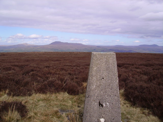
Standard on Burn Moor is a prominent hill located in Yorkshire, England. It is situated in the North York Moors National Park, near the village of Goathland. Standing at an elevation of approximately 400 meters (1312 feet), Standard on Burn Moor offers breathtaking panoramic views of the surrounding countryside.
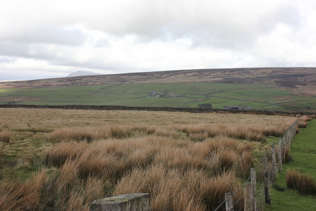
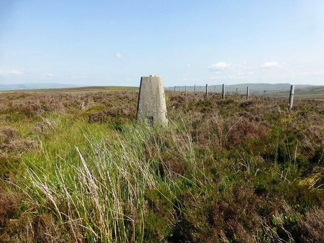
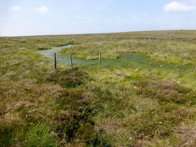
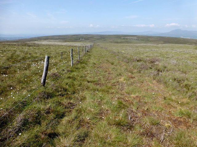
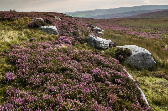
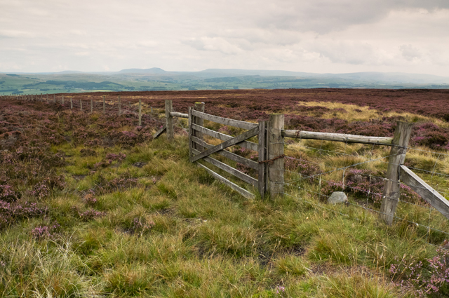
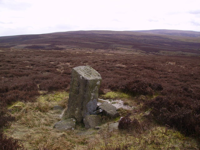
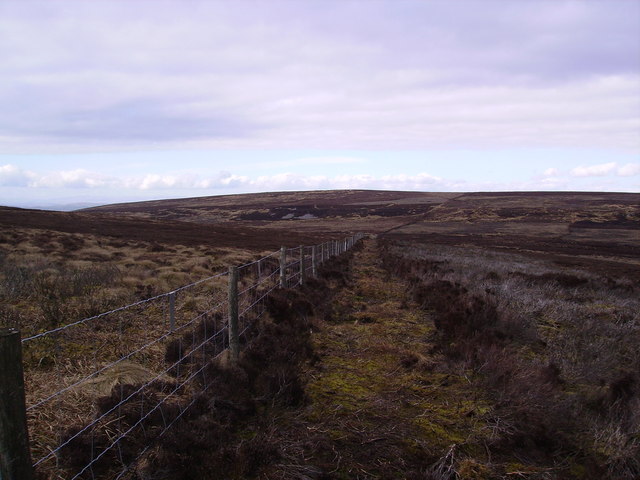
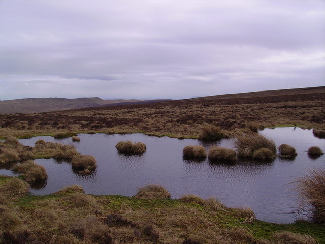
The hill is characterized by its gently sloping sides and a rounded summit, covered with heather and grassland. The moorland landscape is dotted with scattered boulders and outcrops, adding to its natural beauty. It forms part of the vast heather-covered expanse that stretches across the North York Moors.
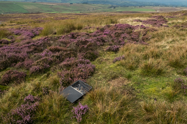
The area is renowned for its rich biodiversity and is home to a variety of plants and wildlife. The heather moorland provides an ideal habitat for several bird species, including the iconic red grouse, curlews, and lapwings. Rare plants such as bilberry and crowberry can also be found in the vicinity.
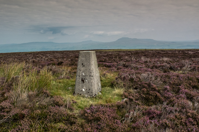
Standard on Burn Moor is a popular destination for hikers and nature enthusiasts. Several footpaths and trails crisscross the area, offering visitors the opportunity to explore its natural wonders. On clear days, the summit provides stunning views of the surrounding countryside, including the picturesque village of Goathland and the distant coastline.
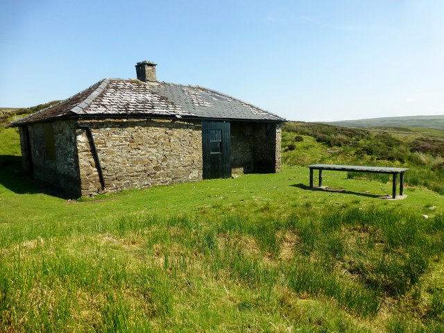
The hill's historical significance is evident in the presence of old boundary markers and remnants of ancient settlements, reflecting the deep-rooted human connection to the land. Overall, Standard on Burn Moor stands as a remarkable natural landmark, offering visitors a chance to immerse themselves in the rugged beauty of the Yorkshire countryside.
If you have any feedback on the listing, please let us know in the comments section below.
Standard on Burn Moor Images
Images are sourced within 2km of 54.076222/-2.4686229 or Grid Reference SD6964. Thanks to Geograph Open Source API. All images are credited.


Standard on Burn Moor is located at Grid Ref: SD6964 (Lat: 54.076222, Lng: -2.4686229)
Division: West Riding
Administrative County: North Yorkshire
District: Craven
Police Authority: North Yorkshire
Also known as: Burn Moor Fell
What 3 Words
///spout.overture.slippery. Near High Bentham, North Yorkshire
Nearby Locations
Related Wikis

Great Stone of Fourstones
The Great Stone of Fourstones, or the Big Stone as it is known locally, is a glacial deposit on the moorlands of Tatham Fells, England, straddling the...

Keasden
Keasden is a hamlet in the civil parish of Clapham-cum-Newby, in the Craven district of the county of North Yorkshire, in the north-western England. It...

Keasden Beck
Keasden Beck is a stream in Yorkshire (formerly the West Riding) rising near Keasden Head, joining the River Wenning south west of Clapham. == References... ==

Church of the Good Shepherd, Tatham
The Church of the Good Shepherd is on Tatham Fell in Lancashire, England. It is an active Anglican parish church in the deanery of Tunstall, the archdeaconry...

St Margaret's Church, High Bentham
St Margaret's Church is in Station Road, High Bentham, North Yorkshire, England. It is an Anglican parish church in the deanery of Ewecross, the archdeaconry...

Clapham railway station
Clapham is a railway station on the Bentham Line, which runs between Leeds and Morecambe via Skipton. The station, situated 48 miles (77 km) north-west...

Bentham railway station
Bentham is a railway station on the Bentham Line, which runs between Leeds and Morecambe via Skipton. The station, situated 19 miles (31 km) east of Lancaster...

Bentham, North Yorkshire
Bentham is a civil parish in North Yorkshire, England, with a population of 3,027 at the 2011 Census. The parish includes the town of High Bentham, occasionally...
Nearby Amenities
Located within 500m of 54.076222,-2.4686229Have you been to Standard on Burn Moor?
Leave your review of Standard on Burn Moor below (or comments, questions and feedback).