Bull Hill
Hill, Mountain in Lancashire Rossendale
England
Bull Hill
The requested URL returned error: 429 Too Many Requests
If you have any feedback on the listing, please let us know in the comments section below.
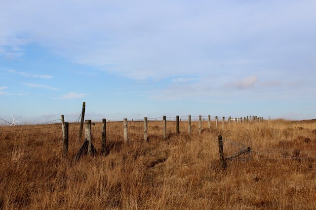
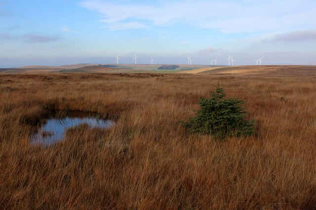
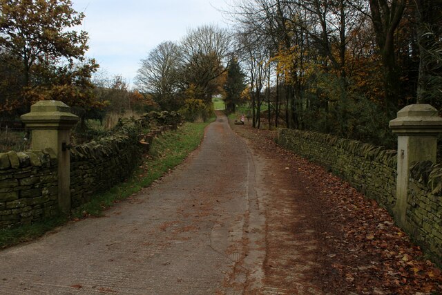
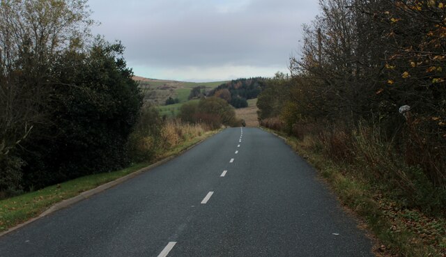
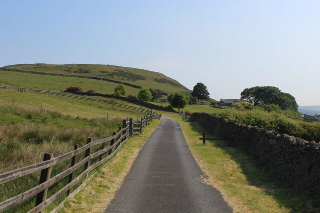
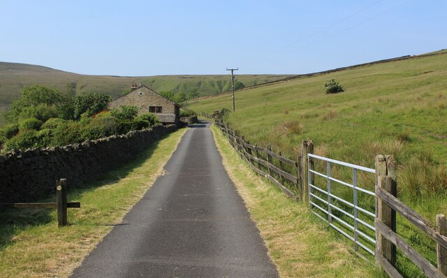
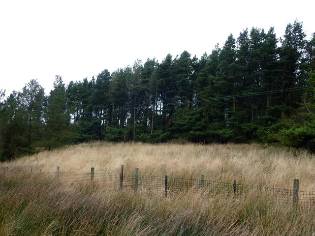
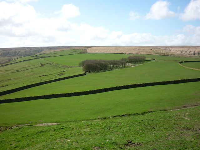
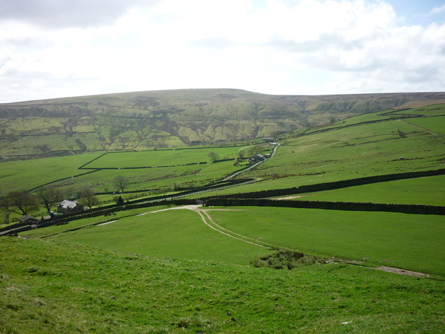
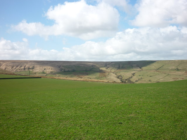
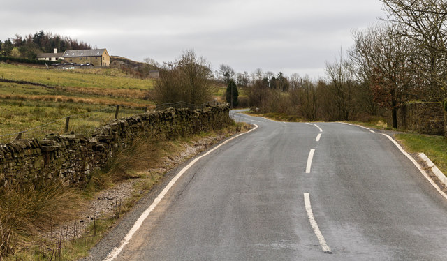
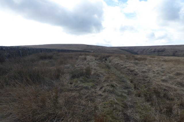
Bull Hill Images
Images are sourced within 2km of 53.667298/-2.3712642 or Grid Reference SD7519. Thanks to Geograph Open Source API. All images are credited.


Bull Hill is located at Grid Ref: SD7519 (Lat: 53.667298, Lng: -2.3712642)
Administrative County: Lancashire
District: Rossendale
Police Authority: Lancashire
Also known as: Scholes Height
What 3 Words
///baked.amber.decking. Near Edgworth, Lancashire
Nearby Locations
Related Wikis

Alden Valley
The Alden Valley is a small valley on the eastern edge of the West Pennine Moors, west of Helmshore in Rossendale, Lancashire, England. In the 14th century...

Pilgrims' Cross, Holcombe Moor
Pilgrims' Cross, Holcombe Moor, also called Whowell's Cross and Chatterton's Cross, is located on Holcombe Moor near Ramsbottom and Holcombe, Greater Manchester...

Musbury Tor
Musbury Tor or Tor Hill is a flat-topped hill in south-east Lancashire, England. It overlooks the village of Helmshore and separates Alden Valley to its...

Musbury Valley
The Musbury Valley is a small valley in the Helmshore area of Rossendale Valley, Lancashire. Musbury Brook flows through its length, and its south side...
Nearby Amenities
Located within 500m of 53.667298,-2.3712642Have you been to Bull Hill?
Leave your review of Bull Hill below (or comments, questions and feedback).